
Precision Geospatial Solutions for Africa’s Future
OPTRON supplies geospatial products and services for organisations that rely on accurate spatial data to plan, manage, and deliver projects.
Technology Support Throughout Its Working Life
From system selection to training and ongoing servicing, OPTRON supports effective use and reliable performance over the full working life of your equipment.

Professional Systems Chosen for Demanding Applications
OPTRON is an authorised distributor of internationally recognised positioning, scanning, and aerial technologies used on complex, high-value projects.












With decades of experience, we deliver geospatial solutions that help African businesses work smarter & more accurately.
40+
Years of Experience
100+
Projects Completed
4.8/5
Customer Satisfaction Score
98%
Project Satisfaction Rate
Technology That Transforms Workflows
OPTRON’s systems are selected to integrate into existing processes, supporting efficient data capture, reliable outputs, and consistent performance on site.
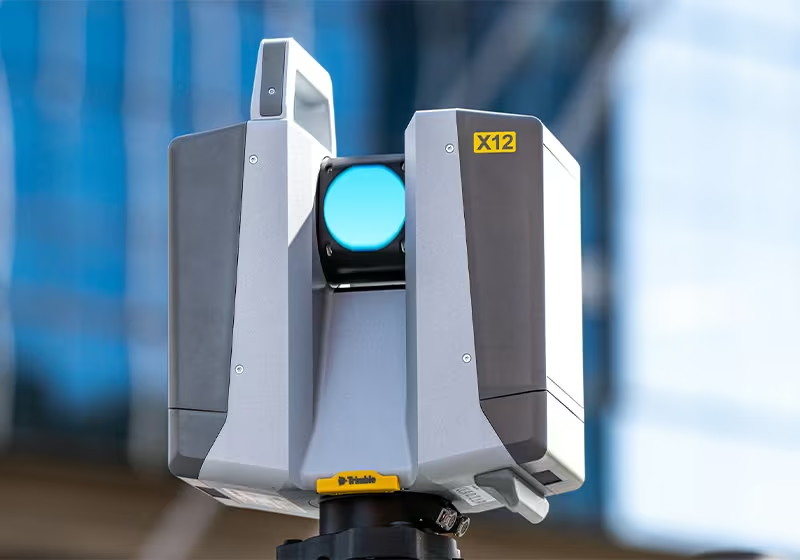
Trimble
Integrated systems for positioning, measurement, and project data management, used across surveying, construction, and infrastructure projects.
DJI Enterprise
Industrial aerial platforms designed for inspection, mapping, and site monitoring, enabling rapid data capture across large or hard-to-access areas.

Spectra Geospatial
GNSS and field solutions designed for reliable positioning and measurement in challenging environments and long operating days.

Nikon
Optical and measurement instruments known for precision, consistency, and long-term durability in field use.

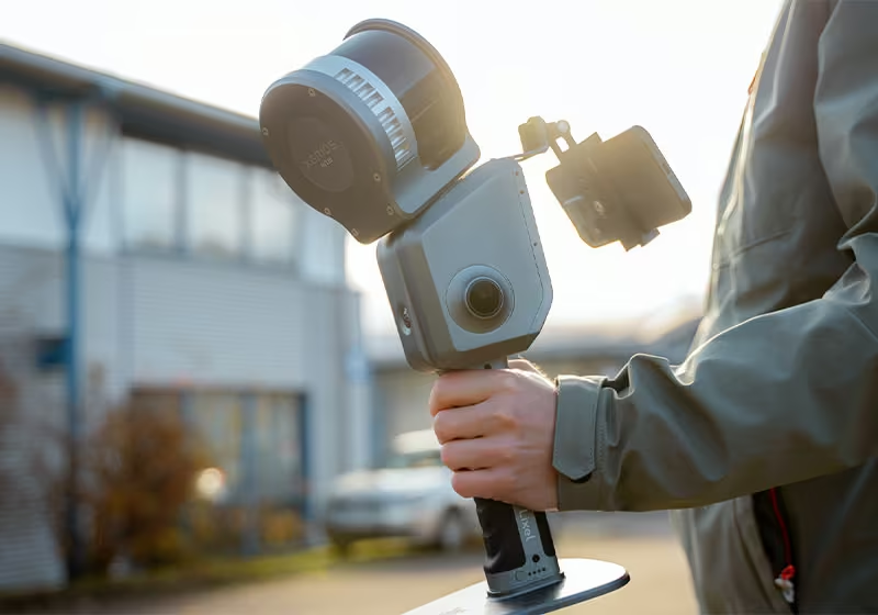
XGRIDS
Scalable infrastructure built for business, designed to meet your operational and growth needs.
Carlson
Land and construction surveying and design software supporting data processing, modelling, and efficient field-to-office workflows.

EagleNXT
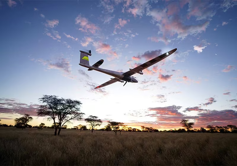
Fixed-wing aerial systems designed for efficient coverage of large areas, commonly used for mapping and monitoring applications.

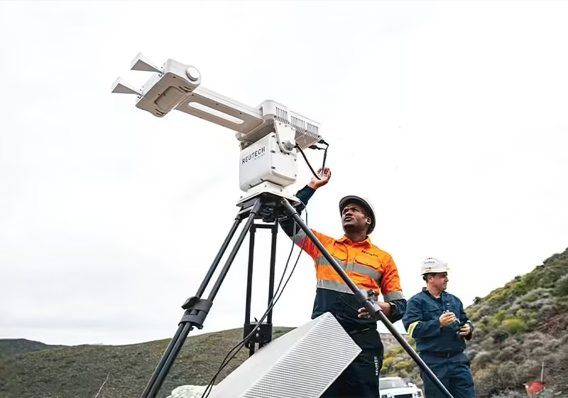
Reutech Mining
Specialised monitoring and sensing systems developed for safety-critical and operational mining environments.
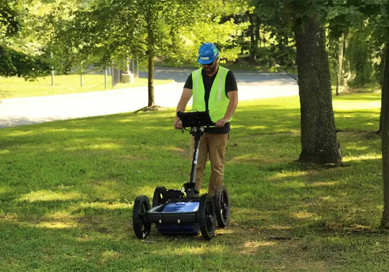
US Radar
Ground penetrating radar (GPR) solutions used for subsurface investigation, detection, and analysis.
Seafloor Systems
Hydrographic survey platforms and sensors for inland, coastal, and nearshore water environments.

GeoCue
LiDAR mapping solutions combining sensors, software, and workflows for efficient data collection and processing.

Exyn
Autonomous aerial systems (AAS) designed for operation in complex and GPS-denied environments, including underground spaces.

Quantum-Systems
Advanced VTOL aerial platforms engineered for long-range, high-accuracy mapping and surveying missions.
TRE ALTAMiRA
InSAR-based remote sensing and monitoring technologies focused on surface movement, deformation, and geohazard analysis.

Worldsensing
Rugged mobile computing devices designed for data collection, processing, and use in demanding field conditions.

Technology Matched to Your Requirements
Every project has its own constraints and requirements. OPTRON helps organisations adopt systems that fit how work is done on site, in the field, and over the long term.
Solutions Aligned to How you Work
Industries face different operating conditions, but dependable data is always essential. OPTRON supports sectors where on-site information informs critical decisions.
Mining & Resources
We provide technology that supports safer mining while improving accuracy, efficiency, and overall productivity.
Construction & Engineering
Our solutions enable accurate earthworks, faster builds, reduced rework, and improved safety across construction and engineering sites.
Geospatial
Our geospatial solutions deliver high-precision spatial data to support productivity, safety, and confident decision-making.
Public Safety & Security
Used by agencies to support situational awareness, planning, and response through timely, accurate field information.
Utilities & Infrastructure
Supports asset planning, inspection, and maintenance across distributed utility networks and infrastructure assets.
Vertical Building Construction
AECO (Architects, Engineers, Construction and Operators)
Bridging the gap between digital design tools and real-world construction execution, providing precision technology for seamless construction workflows.
Discover What’s Possible
See how OPTRON systems support real projects, from planning through to delivery.


What Our Clients Say
Ideas, Insights, and Industry Updates
Explore insights from across industries and operating environments.
-
 Drones & Digital WorkflowsApril 29, 2026
Eyes in the Sky
Babanango Game Reserve is transforming conservation and security through advanced drone technology. By deploying DJI Dock 3 systems across its rugged landscape, the reserve has dramatically reduced response times, improved anti-poaching efforts, and gained powerful new tools for monitoring wildlife and ecosystem health.
Stephen Brown20 Minutes Read More
Let’s Get Your Systems Working the Way They Should
Speak to our team about selecting, implementing, or supporting systems that fit how you work.