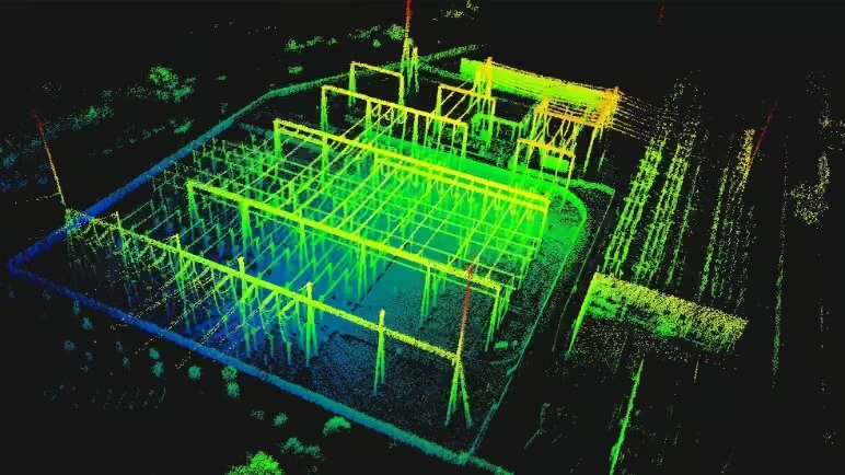
PortalCam
PortalCam captures real spaces as photorealistic 3D worlds. Powered by 3D Gaussian Splatting, PortalCam turns any location into interactive spatial models you can walk through, edit, and share


LixelKity K1
Tailored for professionals, small to medium-sized businesses and 3D enthusiasts, the LixelKity K1 offers a convenient solution for 3D capture and modelling.


Lixel L2 Pro
The Lixel L2 Pro combines LiDAR, visual, and IMU modules with AI – delivering real-time point cloud data that rivals post-processed quality and ushers in the “zero post-processing era” for SLAM devices.


Lixel CyberColor
Create ultra-realistic large-scale environments and immersive experiences instantly, across multiple devices.

LixelStudio
One-click processing from raw scan data to production-ready point clouds.


Turning Advanced 3D Technology into Real-World Solutions
XGRIDS provides innovative 3D content generation tools and development platforms, transforming cutting-edge spatial intelligence technology into mature, functional hardware and software products.
Their solutions enhance model production and intelligent operation efficiency across various industries, driving the widespread adoption of 3D technology.
-
PortalCam
PortalCam captures real spaces as photorealistic 3D worlds. Powered by 3D Gaussian Splatting, PortalCam turns any location into interactive spatial models you can walk through, edit, and share. -
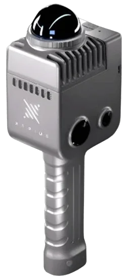
LixelKity K1
Tailored for professionals, small to medium-sized businesses and 3D enthusiasts, the LixelKity K1 offers a convenient solution for 3D capture and modelling. -
Lixel L2 Pro
The Lixel L2 Pro combines LiDAR, visual, and IMU modules with AI – delivering real-time point cloud data that rivals post-processed quality and ushers in the “zero post-processing era” for SLAM devices. -

Lixel CyberColor
Create ultra-realistic large-scale environments and immersive experiences instantly, across multiple devices. -
Stay Informed with XGRIDS Latest Updates
-
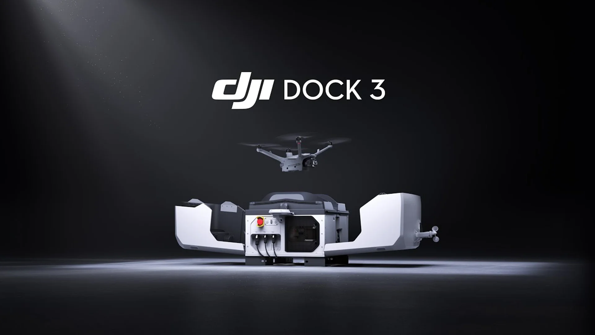
New DJI Dock 3
DJI today launched the DJI Dock 3 that, for the first time, supports mobile vehicle-mounted deployment. -

DJI announces the Mavic 3 Enterprise Series Drones
DJI has officially launched a lightweight and versatile entry-level enterprise drone designed for commercial use. -

A Breakthrough in Long-Range, High-Accuracy Aerial LiDAR
DJI announces the new Zenmuse L3, a next-generation aerial LiDAR system designed for unmatched range, precision, and efficiency. -

DJI Announces the New Matrice 400
Trimble recently introduced a new line of data collectors, ushering in a new level of productivity and connectivity for geospatial and construction industries. -
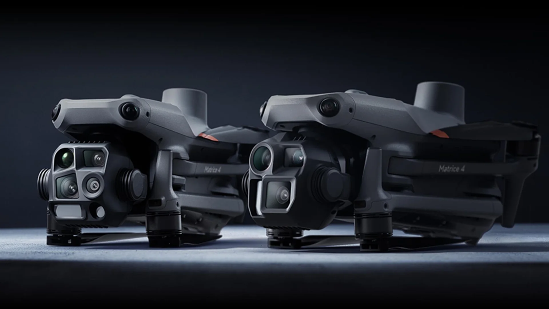
New DJI Matrice 4 Series
The new Matrice 4 Series enterprise drones, featuring cutting-edge AI technology and a suite of capabilities aimed at improving aerial operations across various industries. -
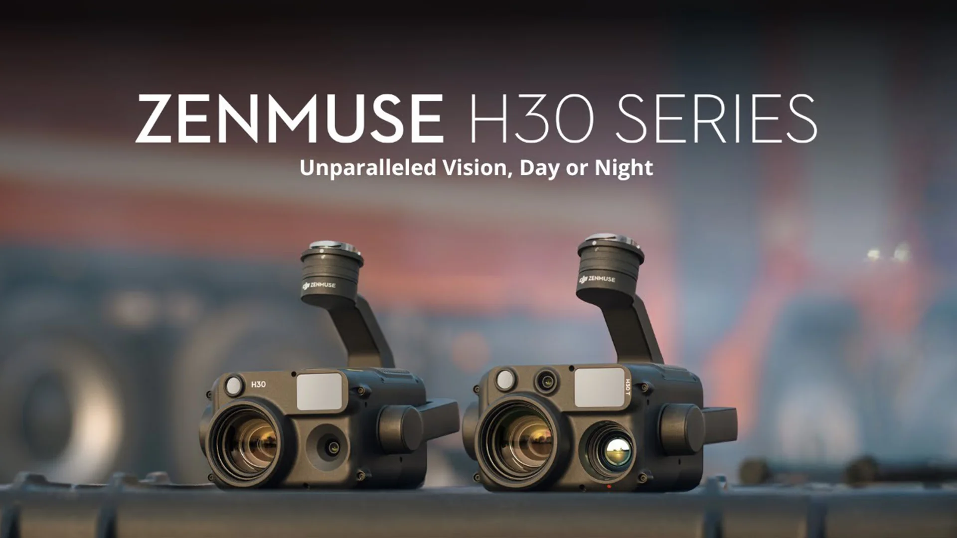
New payload from DJI Enterprise
DJI today launched the new Zenmuse H30 Series – their latest all-weather, full-day, multi-sensor payload.
Common Questions Aout XGRIDS
Bring Spatial Intelligence to Your Projects with OPTRON
Empower your business with XGRIDS’ advanced 3D capture and spatial computing solutions, available through OPTRON.
Contact us today to discover how XGRIDS can improve accuracy, accelerate workflows, and unlock new possibilities across your industry.