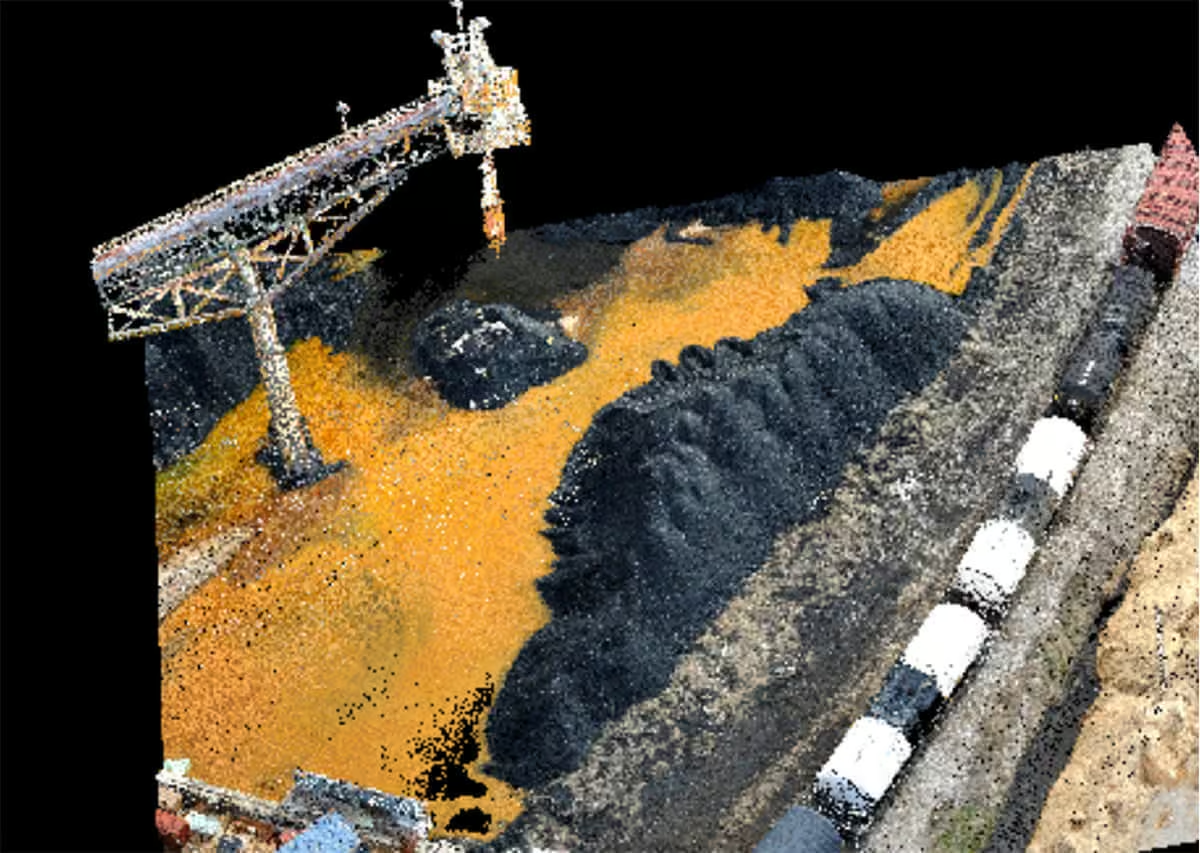



LP360 Drone
Process, analyse, and maximize drone survey data.


A Leader in Kinematic LiDAR and Drone Mapping Solutions
GeoCue is one of the largest supplier of kinematic LIDAR processing tools in North America.
In 2014, GeoCue Group started a division focused on using small Unmanned Aerial Systems for high accuracy mapping. Leveraging their expertise in production, risk reduction, and point cloud processing tools, they are continuing to bring new products to market to provide geospatial professionals exciting tools for geospatial data extraction.
GeoCue has developed a family of 3D imaging sensors partnered with processing software and post deployment support to offer users a fully integrated solution for drone mapping applications.
Data Collection
Collect LIDAR and Photogrammetry in a single flight. True View 3DIS can be mounted on just about any UAV platform!
Data Processing
True View EVO software is bundled with every True View 3DIS. EVO will generate a 3D LIDAR point cloud in LAS format, colorize the point cloud, and geotag the images collected.
Data Management
Manage True View Points and Sensor Calibration Files along with hosting your True View Data in our Reckon Portal.
-
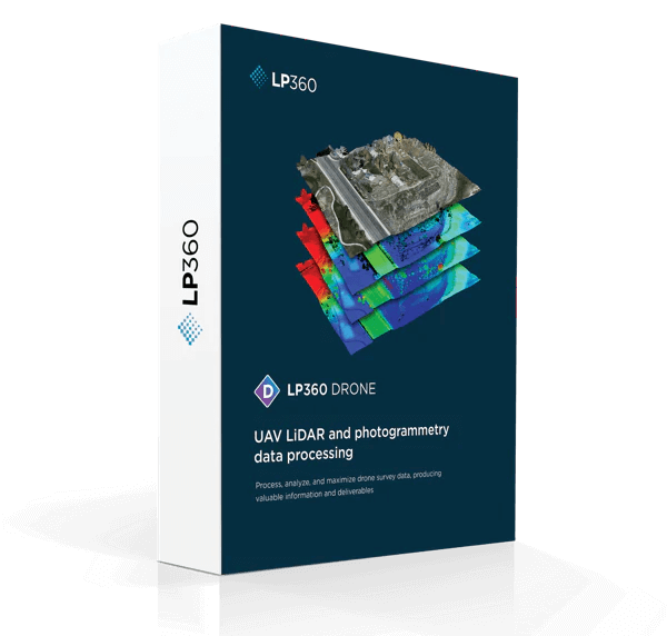
LP360 Drone
LP360 is a powerful software suite designed to efficiently process data from any system including UAVs, airborne, and mobile platforms. Once the data is in standard LAS format or LAS + trajectory you can use an extensive geospatial toolbox to generate impressive deliverables.
-

TrueView 540
The TrueView 540 Sets a New Standard for Accuracy and Quality in the 500 Series – making high-end LiDAR more accessible than ever. This next generation of LiDAR elevates our mid-range sensor line, offering enhanced density, improved accuracy, and precision, thereby producing a superior point cloud. The TrueView 540 provides users with an Engineering grade…
-

TrueView 535
TrueView 535 3D Imaging System with Dual Drone and optional Mobile Mapping capability builds upon the success of our best-selling TrueView 515. We’ve added a third LiDAR beam return to improve vegetation capture detail, two 26 MP oblique cameras and a third 26 MP nadir camera to improve photogrammetry deliverables.
-

TrueView 515
GeoCue’s TrueView® 515 is simply the best performing LiDAR/Camera system in the mid price range. The Version C system is now upgraded with Two New Oblique 26 MP Cameras (Version C) .This compact 3D Imaging System has impeccable definition along wires, superior ground cover beneath vegetation and sensitivity like we’ve never seen in this class…
-

TrueView 3DIS Rental
Drone LIDAR is becoming a necessary addition to the survey mapping industry. However, the cost of drone LIDAR hardware and software tools can be a barrier to entry.
-
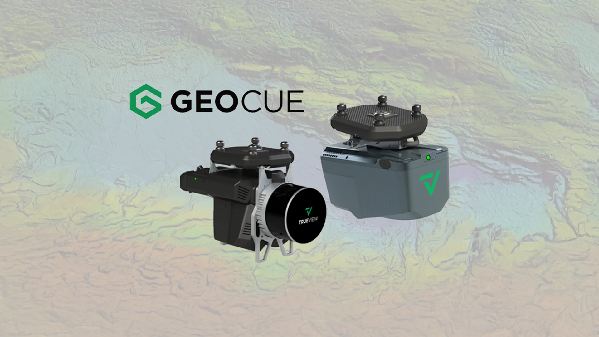
Latest GeoCue product portfolio
GeoCue announces exciting updates to their LiDAR and software product portfolio. -

New True View 645/650 Announcement
GeoCue recently announce the new True View 645 / 650 dual sensor. -

True View 435 Announcement
GeoCue expands the True View 3DIS line with the new True View 435. -

OPTRON appointed as official GeoCue Dealer
OPTRON was recently appointed as the local dealer for GeoCue in the Southern Africa sales territory.
Everything You Need to Know About GeoCue
Connect with OPTRON
Empower your operations with solutions from GeoCue, available through Optron.
Contact us today to discover how GeoCue technology can enhance data accuracy, streamline aerial and geospatial workflows, and support smarter decision-making across your mapping, surveying, and remote sensing projects.