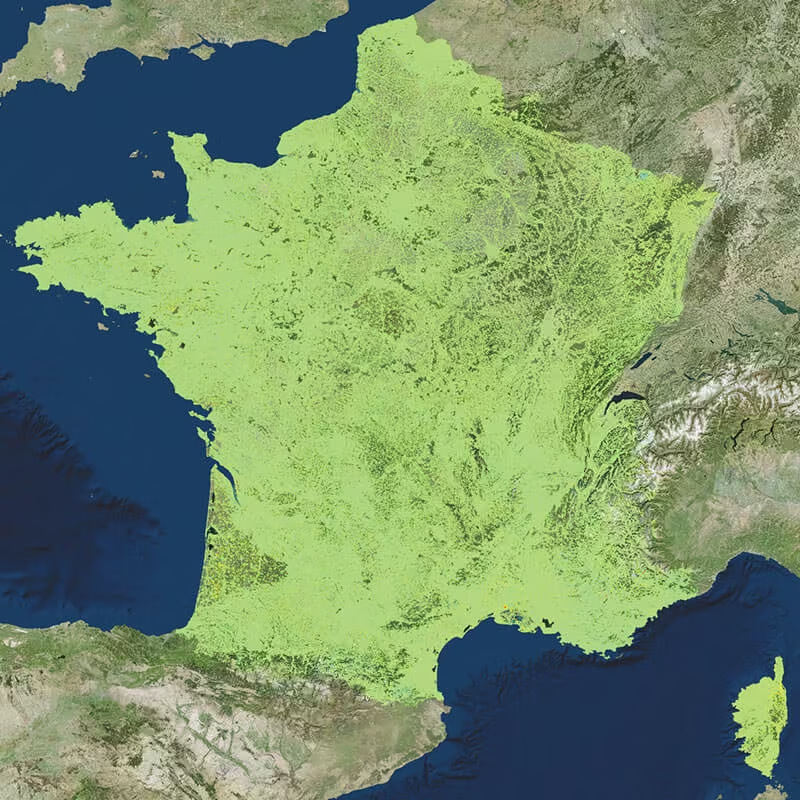
Advanced Ground Displacement Monitoring Solutions
Access industry-leading satellite radar technology through TRE ALTAMIRA, delivered locally by OPTRON. Gain reliable, wide-area ground movement insights that support risk mitigation, infrastructure protection, and informed decision-making across critical assets and environments.
Need a Quote?
We’ll Call You
Simply enter your contact details and one of our specialists will call you to discuss your requirements and provide a detailed quotation.
Need a Quote?
We’ll Call You
Simply enter your contact details and one of our specialists will call you to discuss your requirements and provide a detailed quotation.

Industry-Leading INSAR Monitoring Solutions
TRE ALTAMIRA sets the global benchmark in INSAR Monitoring, delivering precise ground displacement insights using advanced satellite radar technology. By leveraging long-term satellite data and proven interferometric techniques, these solutions enable continuous, wide-area monitoring of surface movement with millimetre-level accuracy.
Through OPTRON, organisations gain access to reliable, data-driven intelligence that supports infrastructure stability, risk mitigation, and informed decision-making across mining, urban development, transportation, and critical assets.

TRE Altamira
-
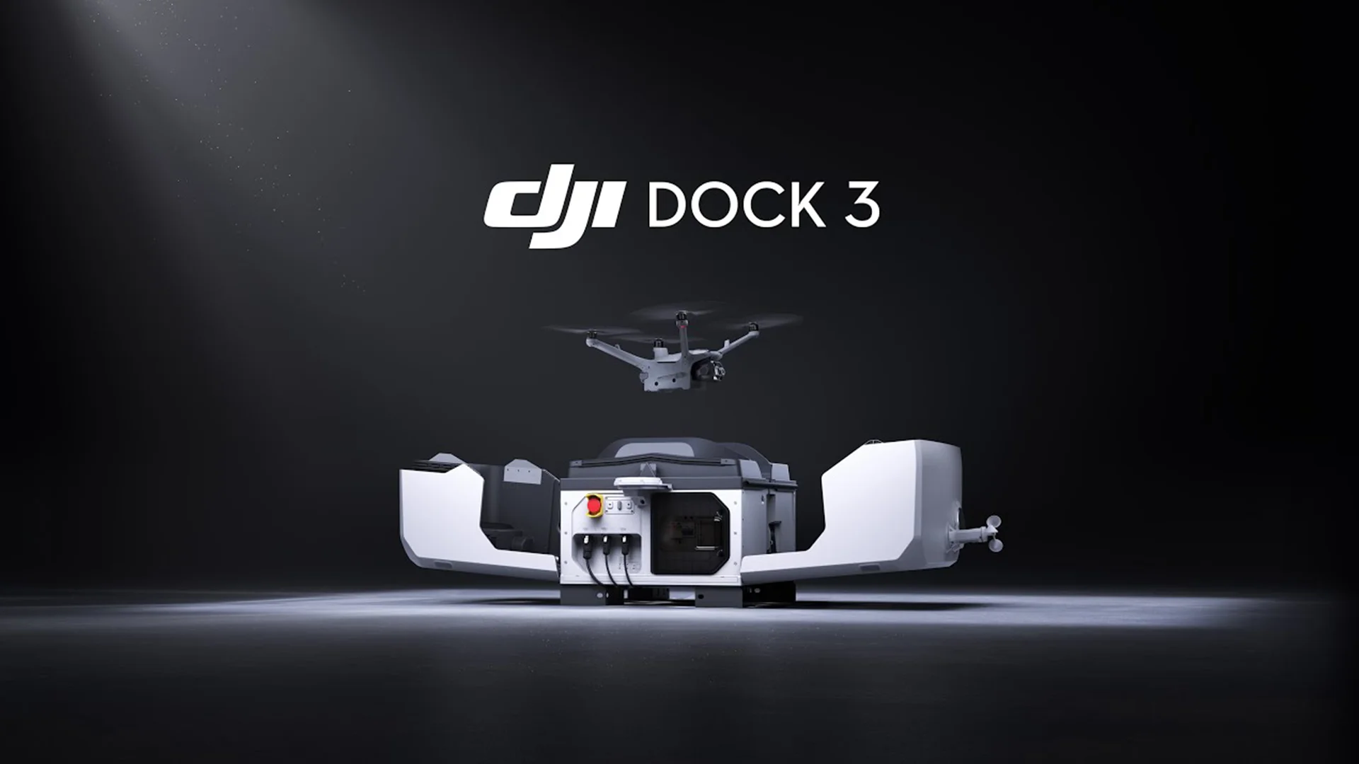
New DJI Dock 3
DJI today launched the DJI Dock 3 that, for the first time, supports mobile vehicle-mounted deployment. -

DJI announces the Mavic 3 Enterprise Series Drones
DJI has officially launched a lightweight and versatile entry-level enterprise drone designed for commercial use. -

A Breakthrough in Long-Range, High-Accuracy Aerial LiDAR
DJI announces the new Zenmuse L3, a next-generation aerial LiDAR system designed for unmatched range, precision, and efficiency. -

Reutech Mining announces the new MSR Halo
Reutech Mining has unveiled its latest innovation in slope stability monitoring: the MSR Halo, a next-generation Synthetic Aperture Radar (SAR) system engineered to redefine performance and reliability in mine safety. -
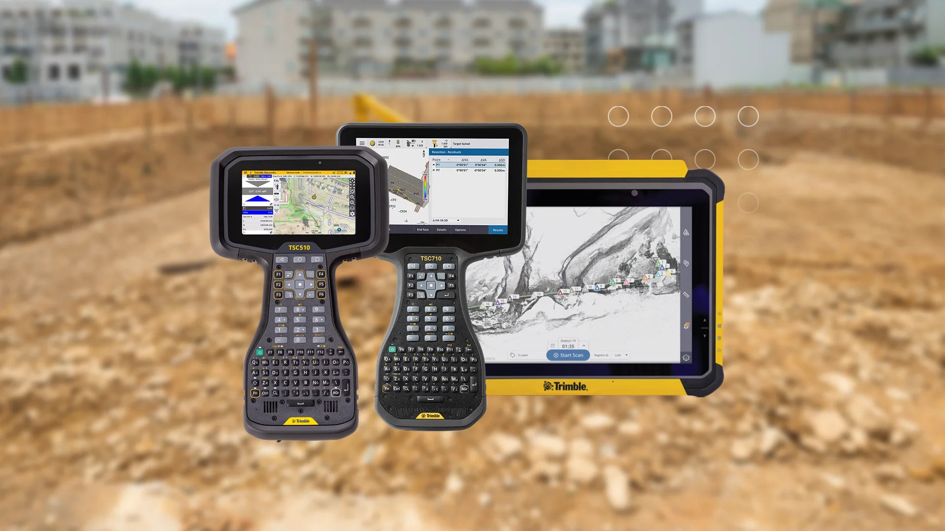
New Trimble Field Controllers
Trimble recently introduced a new line of data collectors, ushering in a new level of productivity and connectivity for geospatial and construction industries. -
EagleNXT announces rebrand to reflect Strategic Evolution
Trimble recently introduced a new line of data collectors, ushering in a new level of productivity and connectivity for geospatial and construction industries. -

DJI Announces the New Matrice 400
Trimble recently introduced a new line of data collectors, ushering in a new level of productivity and connectivity for geospatial and construction industries. -
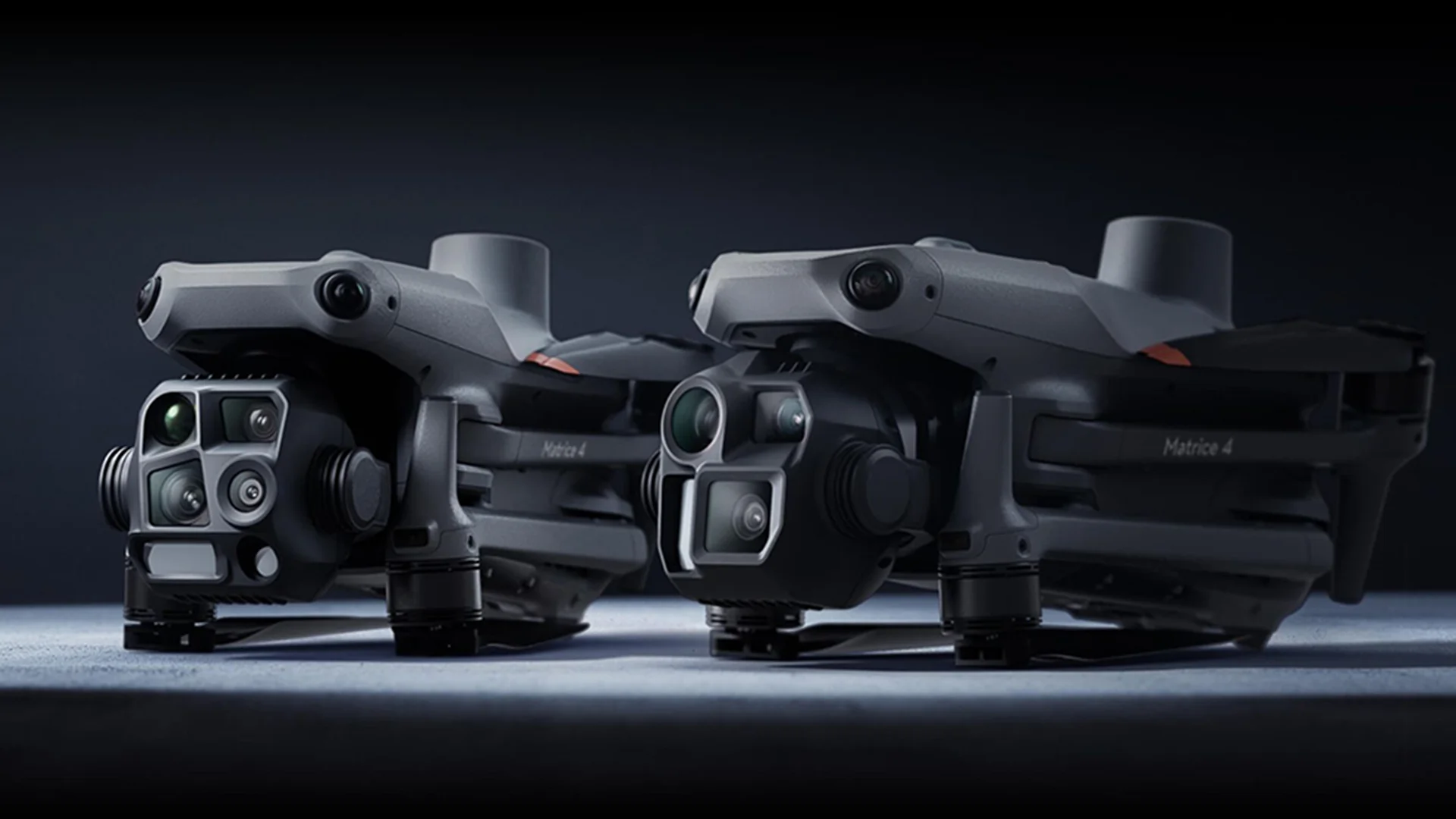
New DJI Matrice 4 Series
The new Matrice 4 Series enterprise drones, featuring cutting-edge AI technology and a suite of capabilities aimed at improving aerial operations across various industries. -

Carlson announces new Boretrak®3
Carlson LMD announces their Boretrak®3 borehole measurement solution – a single, all-purpose unit capable of measuring boreholes in any inclination: down, up or horizontal. -

The new Trimble R980 is here
Trimble today introduced the Trimble R980 GNSS system, the newest addition to its Global Navigation Satellite System (GNSS) receiver portfolio. -
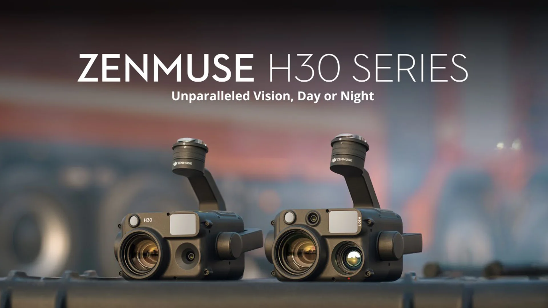
New payload from DJI Enterprise
DJI today launched the new Zenmuse H30 Series – their latest all-weather, full-day, multi-sensor payload. -

New DJI Dock 2
DJI today launched the DJI Dock 2 to the global market, taking automatic drone operations to new heights. -
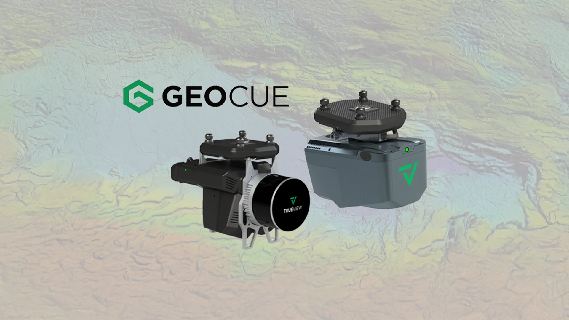
Latest GeoCue product portfolio
GeoCue announces exciting updates to their LiDAR and software product portfolio. -
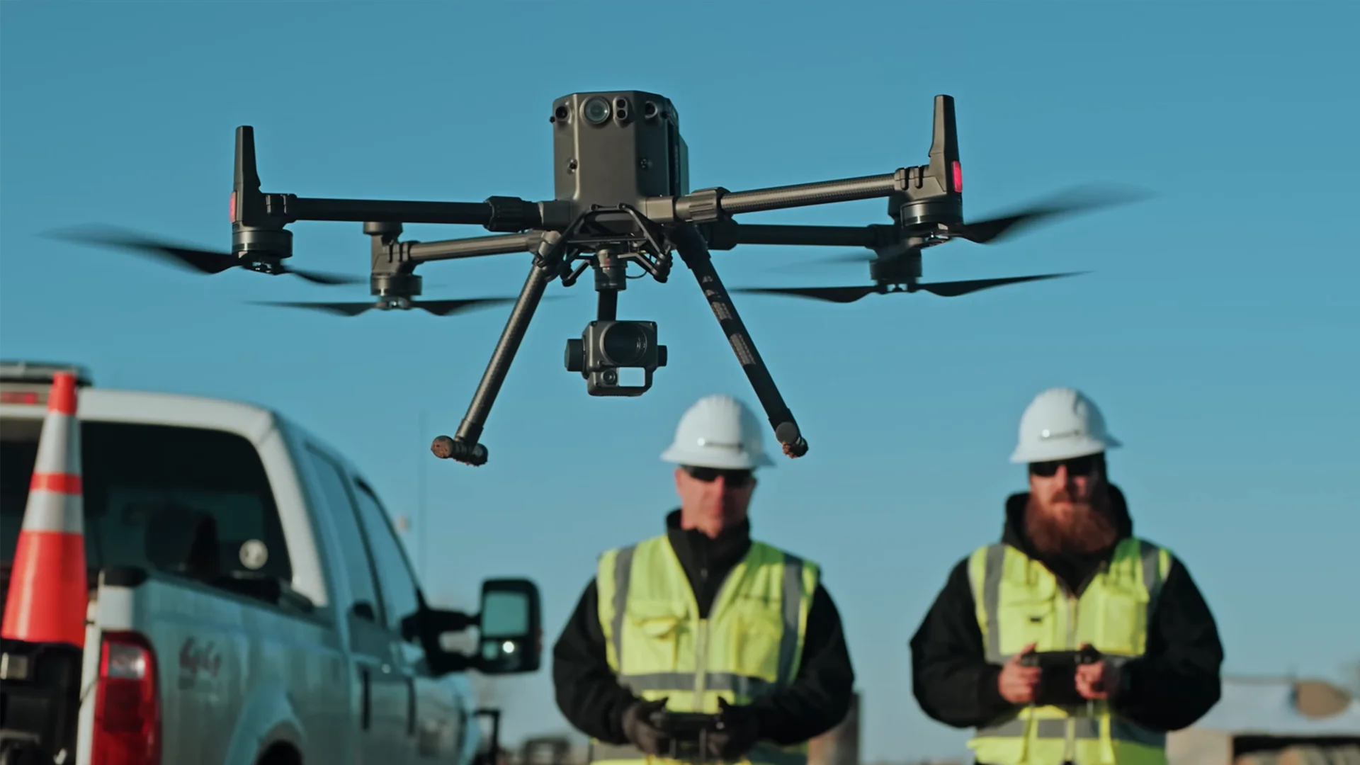
DJI Announces a New Standard in Drone Technology
DJI has unveiled what it calls its “most advanced commercial drone platform” – the Matrice 300 RTK drone and H20 Series cameras. -

DJI announces a new generation of Enterprise Drones
DJI, the world leader in civilian drones and aerial imaging technology, today launched the DJI Matrice 30 – a Mighty, Versatile, Transportable Commercial Drone.
Everything You Need to Know About TRE ALTAMIRA
Connect with OPTRON
Empower your operations with TRE ALTAMIRA’s advanced INSAR Monitoring solutions, powered by cutting-edge satellite radar technology and delivered through OPTRON.
Contact us today to discover how satellite-based ground displacement monitoring can enhance risk visibility, improve data-driven decision-making, and support safer, more resilient infrastructure across your mining, infrastructure, environmental and urban development projects.