Category: Blog Post
-

Why the DJI Matrice 350 RTK Is a Top Choice for Modern Surveying
Surveying has advanced beyond traditional ground-based methods. Aerial platforms now play a central role in supporting accurate, end-to-end site data workflows on complex projects. On complex, large-scale sites, drone technology has become a practical requirement.
-

Why the Trinity F90+ Is Ideal for Large-Scale Mapping Projects
Large-scale mapping places very different demands on aerial survey equipment than small, confined sites. When projects extend across kilometres rather than hectares, the operational demands change. Sustained, reliable and efficient performance quickly becomes more important than the convenience of short, vertical flights.
-

How a Land Surveyor Works: Roles, Requirements and Essential Tools
A land surveyor plays a vital role in shaping infrastructure, defining boundaries and guiding construction projects. Discover the key responsibilities, land surveyor requirements in South Africa, and the advanced tools that support precise, compliant measurements across industries.
-

How a 3D Void Scanner Transforms Underground Mining Safety
Underground mining presents unique safety challenges, particularly when dealing with hidden voids and unstable ground. 3D void scanners provide mining teams with a safer, faster and more accurate way to detect cavities, assess structural risk and make informed decisions without entering hazardous areas. This article explores how 3D void scanners work, their key applications in…
-

Drone Survey Benefits and Applications in South Africa
Drone surveying is transforming how South African professionals approach mapping, construction, agriculture and land development. By combining UAV technology, high-accuracy positioning and advanced data processing, modern drone surveys deliver faster results, improved safety and centimetre-level precision across even the most challenging terrain. This article explores how drone land surveying works, its key benefits, and how…
-

Exploring How Surveying Drones, 3D Scanners and AI Are Changing the Industry
Surveying drones are revolutionising the industry by combining speed, precision and automation. When integrated with 3D scanning and AI, they create smarter, more efficient workflows that deliver accurate results for construction, mining and infrastructure projects across Africa.
-

How to Choose the Best Level Tool for Your Project
Selecting the right level tool is key to achieving accurate results in construction and surveying. This guide compares spirit, laser and digital levels, explaining their uses, benefits and how to choose the best tool for your project.
-
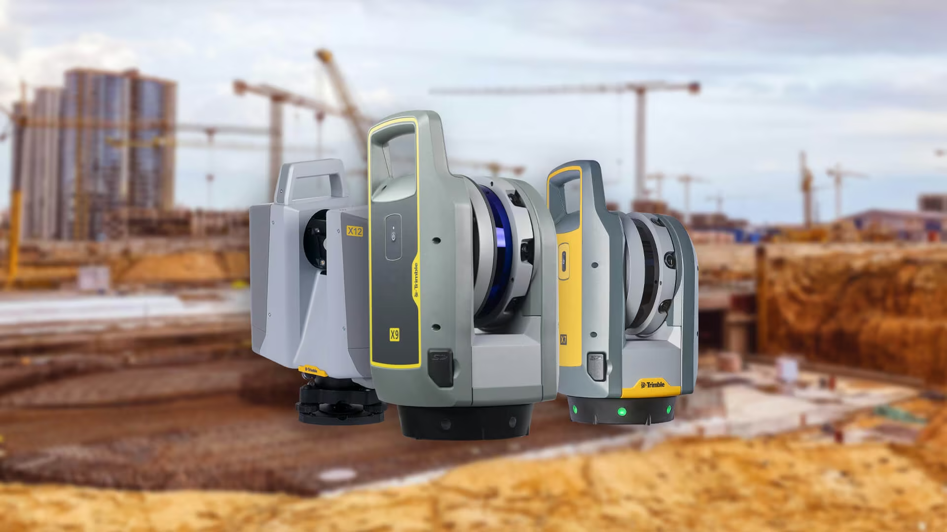
Advantages of Using a 3D Scanner
3D scanners are redefining modern surveying with precision, speed and comprehensive data capture. Learn how Trimble 3D scanners from OPTRON help professionals streamline workflows, reduce risk and deliver high-quality results across industries like construction, mining and heritage preservation.
-

Drone Surveying
Drone surveying is transforming land projects with faster data collection, improved safety and unmatched accuracy. Learn how UAV survey technology and DJI Enterprise drones streamline workflows across industries, helping surveyors complete projects more efficiently with OPTRON’s expert support and integrated solutions.
-

Trimble Survey Equipment
Trimble survey equipment helps surveyors in South Africa work faster, smarter and with greater accuracy. From total stations to GNSS and advanced software, Optron delivers the tools and support to boost productivity across every project.
-

How Digital Data Management Is Changing Modern Surveying
Digital data management in surveying is transforming how projects are delivered. From seamless cloud workflows to smart survey software, OPTRON helps teams achieve faster results, improved accuracy and stronger collaboration across field and office.
-

Total Station vs GNSS: Choosing the Right Surveying Tool for Your Project
Compare Total Station vs GNSS to find the right surveying tool for your next project. Learn how each system works, their pros and cons, and which Trimble models excel in different environments.