Tag: survey equipment
-

How a 3D Void Scanner Transforms Underground Mining Safety
Underground mining presents unique safety challenges, particularly when dealing with hidden voids and unstable ground. 3D void scanners provide mining teams with a safer, faster and more accurate way to detect cavities, assess structural risk and make informed decisions without entering hazardous areas. This article explores how 3D void scanners work, their key applications in…
-

Drone Survey Benefits and Applications in South Africa
Drone surveying is transforming how South African professionals approach mapping, construction, agriculture and land development. By combining UAV technology, high-accuracy positioning and advanced data processing, modern drone surveys deliver faster results, improved safety and centimetre-level precision across even the most challenging terrain. This article explores how drone land surveying works, its key benefits, and how…
-

Exploring How Surveying Drones, 3D Scanners and AI Are Changing the Industry
Surveying drones are revolutionising the industry by combining speed, precision and automation. When integrated with 3D scanning and AI, they create smarter, more efficient workflows that deliver accurate results for construction, mining and infrastructure projects across Africa.
-

How to Choose the Best Level Tool for Your Project
Selecting the right level tool is key to achieving accurate results in construction and surveying. This guide compares spirit, laser and digital levels, explaining their uses, benefits and how to choose the best tool for your project.
-
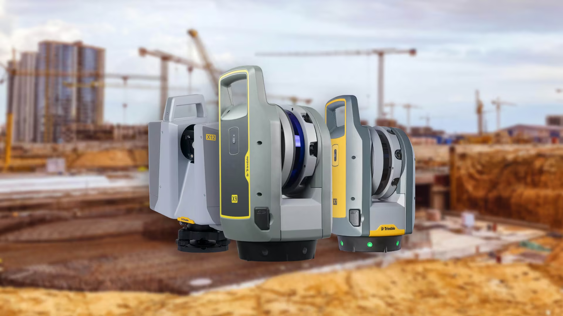
Advantages of Using a 3D Scanner
3D scanners are redefining modern surveying with precision, speed and comprehensive data capture. Learn how Trimble 3D scanners from OPTRON help professionals streamline workflows, reduce risk and deliver high-quality results across industries like construction, mining and heritage preservation.
-

Trimble Survey Equipment
Trimble survey equipment helps surveyors in South Africa work faster, smarter and with greater accuracy. From total stations to GNSS and advanced software, Optron delivers the tools and support to boost productivity across every project.
-

How Digital Data Management Is Changing Modern Surveying
Digital data management in surveying is transforming how projects are delivered. From seamless cloud workflows to smart survey software, OPTRON helps teams achieve faster results, improved accuracy and stronger collaboration across field and office.
-

Total Station vs GNSS: Choosing the Right Surveying Tool for Your Project
Compare Total Station vs GNSS to find the right surveying tool for your next project. Learn how each system works, their pros and cons, and which Trimble models excel in different environments.
-

The Main Types of Survey Equipment Used in Modern Land and Construction Projects
Explore the essential types of survey equipment used by today’s professionals. From GNSS and total stations to 3D scanners and drones, learn how each tool supports more accurate, efficient, and data-driven surveying.
-

What to Look for When Choosing Survey Equipment for Your Project
When you’re tasked with delivering accuracy, efficiency and reliability on-site, having the right surveying equipment can make or break your project. Whether you’re working in construction, engineering, mining or cadastral surveying, making the right choice upfront ensures smoother workflows, fewer delays and better data outcomes.