
Exyn Nexys
The most advanced autonomous navigation – when you need it
Proprietary autonomy algorithms, coupled with SLAM-based LiDAR scanning technology deliver survey-grade results without a pilot – even in GPS-denied, hazardous, and unilluminated environments. Start with mapping only, then upgrade to full autonomy when you need it.
Need a Quote?
We’ll Call You
Simply enter your contact details and one of our specialists will call you to discuss your requirements and provide a detailed quotation.

Real-Time, High-Accuracy 3D Mapping Without Compromise
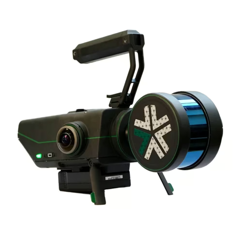
Nexys Pro is a modular mapping and surveying ecosystem that allows users to quickly capture highly accurate, colorized, real-time 3D point clouds in complex, dangerous, or inhospitable environments like those in the mining, AEC, and geospatial industries.
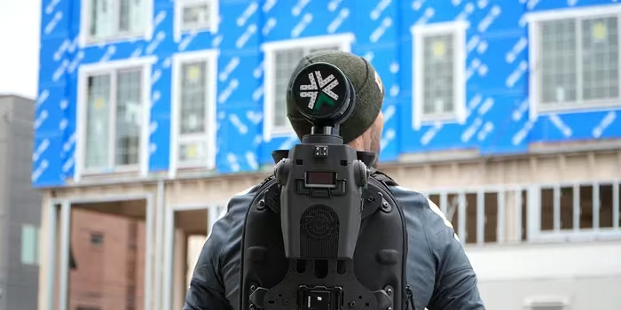
The Nexys Ecosystem of accessories enables it to be handheld, carried in a backpack, mounted to a vehicle, piloted on an aerial robot, or — using our industry-leading AL4 volumetric exploration — it can autonomously navigate aerial and ground-based robots.
Exynview Software
Equipped for high-quality 3D mapping, our drones also deliver high-resolution video and active lighting providing a never-before-seen view of dangerous environments.
Built To IP67 Standards
Designed for autonomy, the LiDAR Sensors guiding our drones deliver near-field perception for safe navigation in extremely difficult conditions.
Real-time 360º Colourisation
Capture beyond-line-of-sight data without worrying about physical obstacles, dangerous infrastructure or other unsafe environmental factors.
Built for Any Environment, Ready for Every Platform
Need a Quote?
We’ll Call You
Simply enter your contact details and one of our specialists will call you to discuss your requirements and provide a detailed quotation.
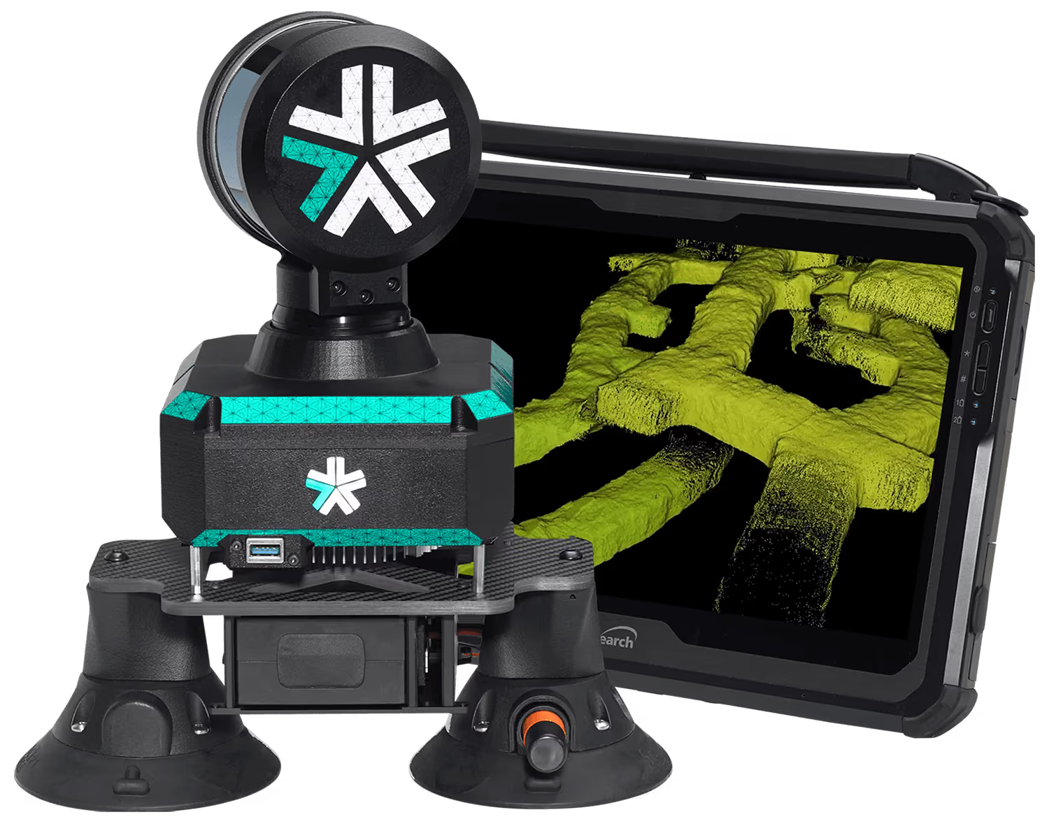
Rugged and Configurable
Nexys can be quickly and easily switched between a variety of configurations – handheld, backpack, aerial robot, terrestrial robot, vehicle, pole, custom configurations. Built to IP67 standards, users have the flexibility and cost efficiency to use one device in any mapping environment.
High-Speed Data Capture with Survey-Grade Accuracy
Fast Capture, Survey Grade Accuracy
Nexys’ SLAM-based spatial mapping delivers consistent and repeatable survey grade accuracy of up to 5mm @ 1 sigma at up to 1.9 million scan points per second while continuously updating the map as new data is received.
Instant Field Processing with Detailed Data Review
Need a Quote?
We’ll Call You
Simply enter your contact details and one of our specialists will call you to discuss your requirements and provide a detailed quotation.
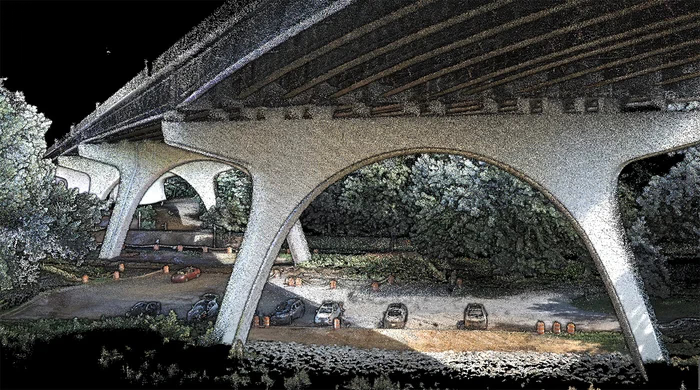
See Your Scans in Detail
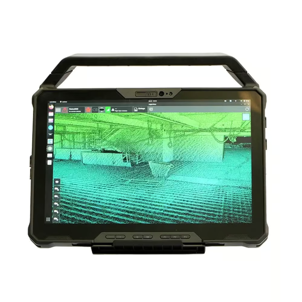
Capture and post processing is done in the field, allowing for real-time visualization of your captured data with full detail and colorization to ensure the scan area is correct and complete before you leave the site.
Rugged Mobile Command for Planning and Monitoring
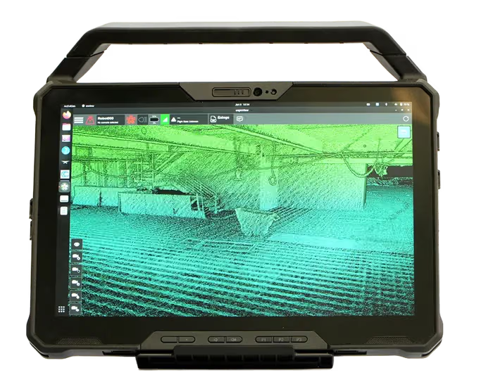
Small, Light & Powerful Ruggedized Tablet
The Nexys comes paired with a ruggedized Dell Latitude tablet for easy mission planning for autonomous aerial exploration missions, or for monitoring the real-time status of a mobile mapping 3D capture – making mobile surveying simple, efficient, and accurate.
See the Exyn Nexys in Action
Experience the power of SLAM-based mapping as Nexys captures millions of scan points per second while continuously updating the 3D environment.

Related Images


Need a Quote?
We’ll Call You
Simply enter your contact details and one of our specialists will call you to discuss your requirements and provide a detailed quotation.