New Exyn Nexys 3D Mapping Solution
9 February 2024 – At Geoweek 2024, Exyn Technologies announced the new Exyn Nexys – a 3D mapping solution designed for use in various professional fields including mining, construction, and geospatial industries.
Nexys is engineered to enhance the process of surveying and inspection in challenging and demanding environments through its flexible and advanced technology.

Advanced features of Exyn Nexys includes:
-
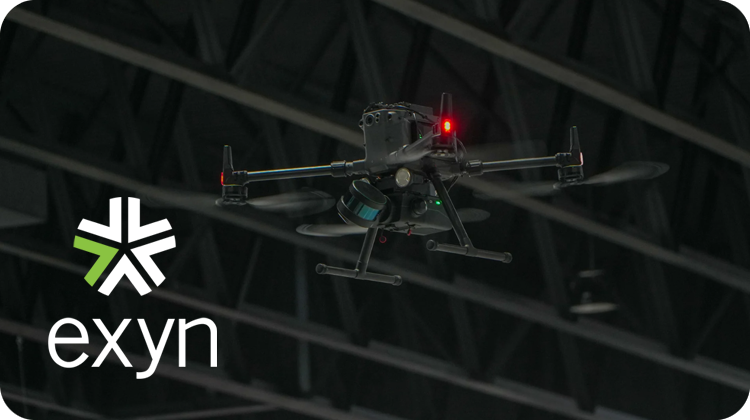
Modularity: Nexys offers a modular setup that can be adapted for use in different configurations such as handheld, backpack, vehicle-mounted, drone-integrated, or ground robots. This design aims to facilitate comprehensive mapping in a range of environments from indoor and underground spaces to rugged outdoor areas.
-
Advanced Mapping Capabilities: Utilizing the latest in LiDAR technology along with Exyn’s own SLAM algorithms, Nexys is designed to deliver high-speed data capture and real-time point cloud colorization. It includes Autonomy Level 4 (AL-4) capabilities, enabling autonomous navigation in dynamic and complex, GPS-denied environments.
-
Data Visualization and Accuracy: Nexys incorporates hemispherical cameras to provide real-time visualization of colorized data on 3D point clouds. With the ability to capture up to 1.9 million scan points per second, it aims to achieve survey-grade accuracy up to 5mm @ 1 sigma. visibility brings powerful 874-lumen LED illumination to the void for added camera visualization at distances up to 25m.
-
Durability: Built to IP67 standards within an ISO 9001 certified framework, Nexys is created to withstand harsh operational conditions. It also offers a range of accessories to support various mapping scenarios, including GPS modules, protective cages, and Drone Link for robot integration.
Exyn Nexys is introduced as a solution to current challenges in professional mapping, offering a tool designed for accuracy, flexibility, and ease of use in data collection and visualization across different industries.