Origin
Designed for Today. Built for Tomorrow
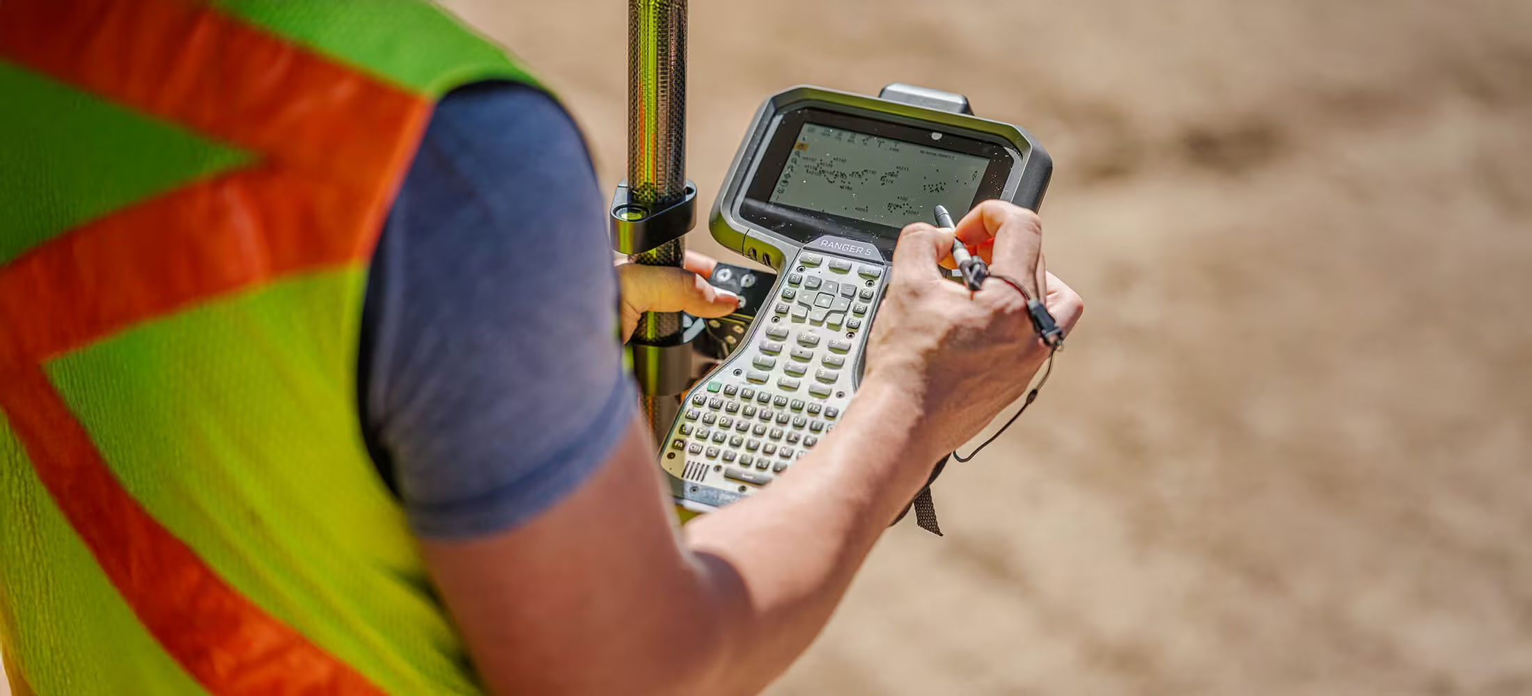
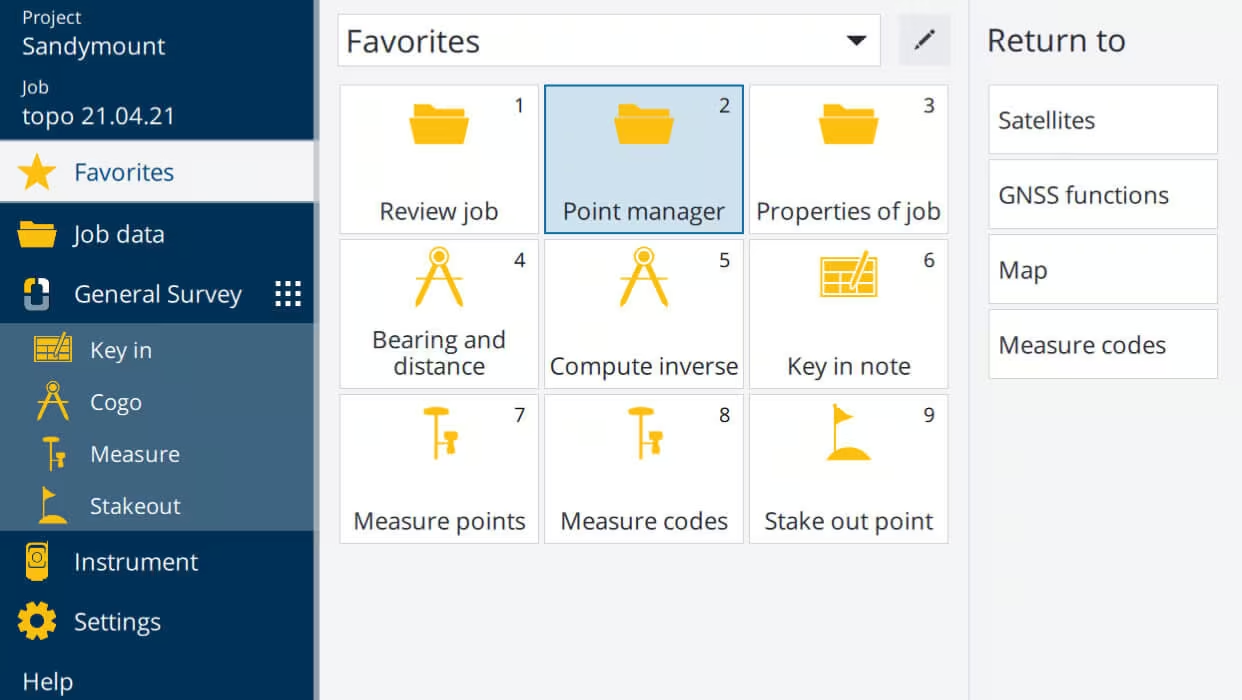
Spectra Geospatial Origin field software is the new, modern software professional surveyors need to handle a full range of projects quickly and efficiently. Intuitive and reliable, Origin offers an extensive range of features, including one-tap easy-to-use feature coding, powerful COGO computing, map layer manager, and map-centric workflows for measuring and stakeout.
Need a Quote?
We’ll Call You
Simply enter your contact details and one of our specialists will call you to discuss your requirements and provide a detailed quotation.

Flexible Field Software for Connected Survey Workflows
Spectra Geospatial Origin supports the Windows and Android operating systems. Connect Origin to GNSS receivers or robotic or mechanical instruments, or maximize the advantages of both GNSS and conventional in an integrated survey.
Rely on it to meet your needs today and future-proof your business with the leading-edge design and technology you’ll want tomorrow.
Features for Today & Tomorrow
Origin delivers a modern, intuitive field survey experience designed for efficiency and versatility. It supports a wide range of instruments and workflows, from GNSS receivers to robotic and mechanical devices, and enables seamless integration of optical and GNSS data in a single job. With cloud connectivity, advanced measurement tools, and flexible map support, Origin helps survey teams work faster, stay connected, and future-proof their operations.
Need a Quote?
We’ll Call You
Simply enter your contact details and one of our specialists will call you to discuss your requirements and provide a detailed quotation.
-
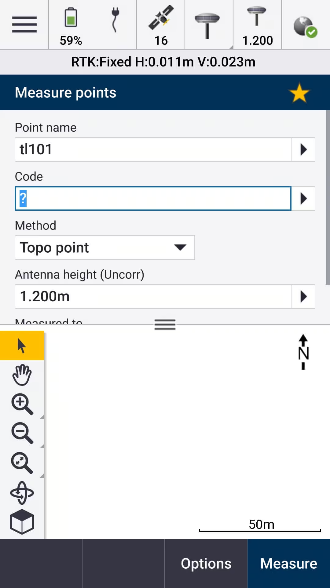
Easy to use, modern field survey software
-
Supports Spectra Geospatial Android* and Windows devices
-
Full support for a wide range of instruments including mechanical and robotic instruments, as well as GNSS receivers
-
Fully featured stakeout including points, lines, arcs, and polylines
-
Advanced measurement tools like Measure codes for simple and fast topographic feature and attribute collection
-
Cloud connectivity for data transfer and communication between the field and the office
-
Integrated Surveying technology to enable optical and GNSS workflows in the same job, even supporting simultaneous connections to the total station and GNSS receiver
-
Modern map displays with support for DXF, LandXML, WMS, JPG, and many more map files
-
Intuitive COGO directly in the map utilizing data in the job or related map files
Explore Our Solutions
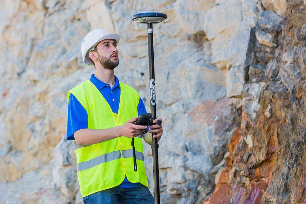
Origin offers flexible solutions tailored to your survey needs. Origin GNSS provides full software functionality for GNSS receivers, Origin Total Station supports conventional and robotic instruments, and Origin Max combines both for fully integrated survey workflows. Each option ensures seamless connectivity, efficient data collection, and the versatility to handle any project with confidence.
Origin GNSS
-
Provides all Origin software features and connects to supported GNSS receivers only
-
Supported Instrument List:SP60SP80, SP85SP90m
Origin Total Station
-
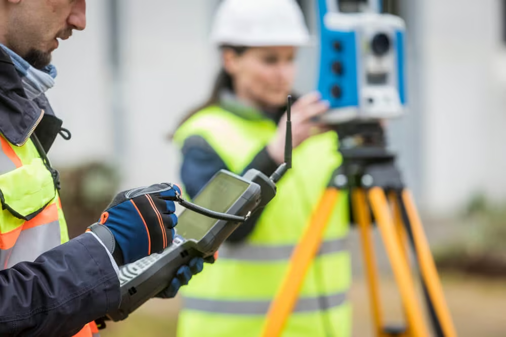
Provides all Origin software features and connects to supported conventional instruments only
-
Supported Instrument List:FOCUS30/35Nikon Mechanical Total Stations3rd Party Total Stations
Origin Max
-
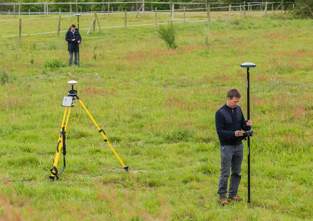
Combines Origin GNSS and Origin Total Station for a full package field survey software
-
Integrated survey workflows
-
Supported Instrument List:SP60SP80m, SP85SP90mFOCUS 30/35Nikon Mechanical Total Stations3rd Party Total Stations
Expand Your Capabilities with ROADS Application
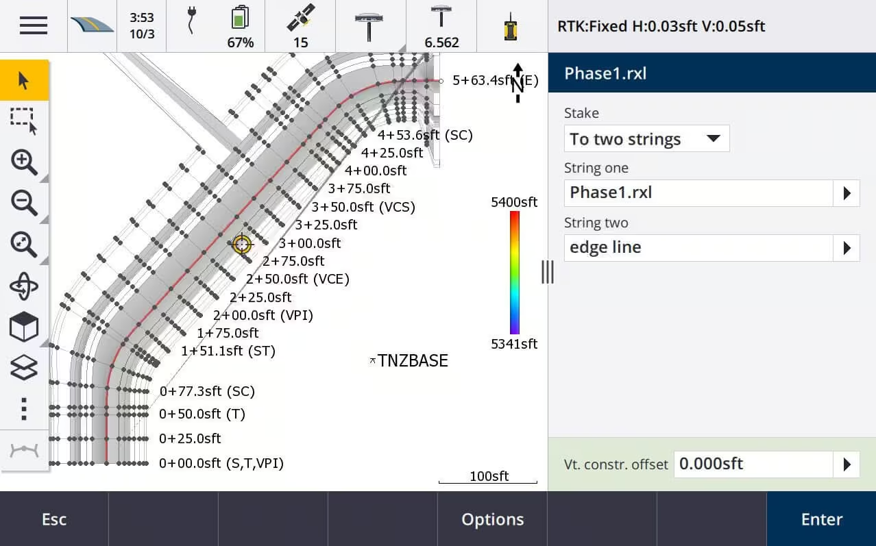
Spectra Geospatial Origin Roads adds powerful features to enhance your road stakeout. The Roads application simplifies road stakeout by providing a step-by-step process to take a road stakeout project from start to finish.
Enhanced Roading features:
-
Support for RXL, GENIO, LandXML and IFC file formats
-
Define your road through horizontal and vertical polylines, templates, and superelevation and widening records
-
Visualize your road and measurements in real time, all in 3D on your controller
-
Survey your road through staking a station on a string, measuring your position relative to a string or road, staking a side slope, and applying construction offsets
-
Conduct surface inspections through in scan to surface, to scan, or whole object IFC model
-
Redesign your road in real time
-
Report your surveyed road data on the controller and transfer via cloud services
Scalable Field Software with Flexible Subscription Options
Origin offers flexible solutions tailored to your survey needs. Origin GNSS provides full software functionality for GNSS receivers, Origin Total Station supports conventional and robotic instruments, and Origin Max combines both for fully integrated survey workflows. Each option ensures seamless connectivity, efficient data collection, and the versatility to handle any project with confidence.

Origin LT
Spectra Geospatial Origin LT is a brand new entry-level field software for Mechanical Total Stations and SP60 GNSS, capable of running on both Android and Windows 10.
Connect Origin to GNSS receivers or robotic or mechanical instruments, or maximize the advantages of both GNSS and conventional in an integrated survey. Rely on it to meet your needs today and future-proof your business with the leading-edge design and technology you’ll want tomorrow.
Origin Subscriptions
Origin subscriptions give complete control over your software for added flexibility and scalability.
Choose the subscription most suited to your workflow needs.
See the Origin in Action
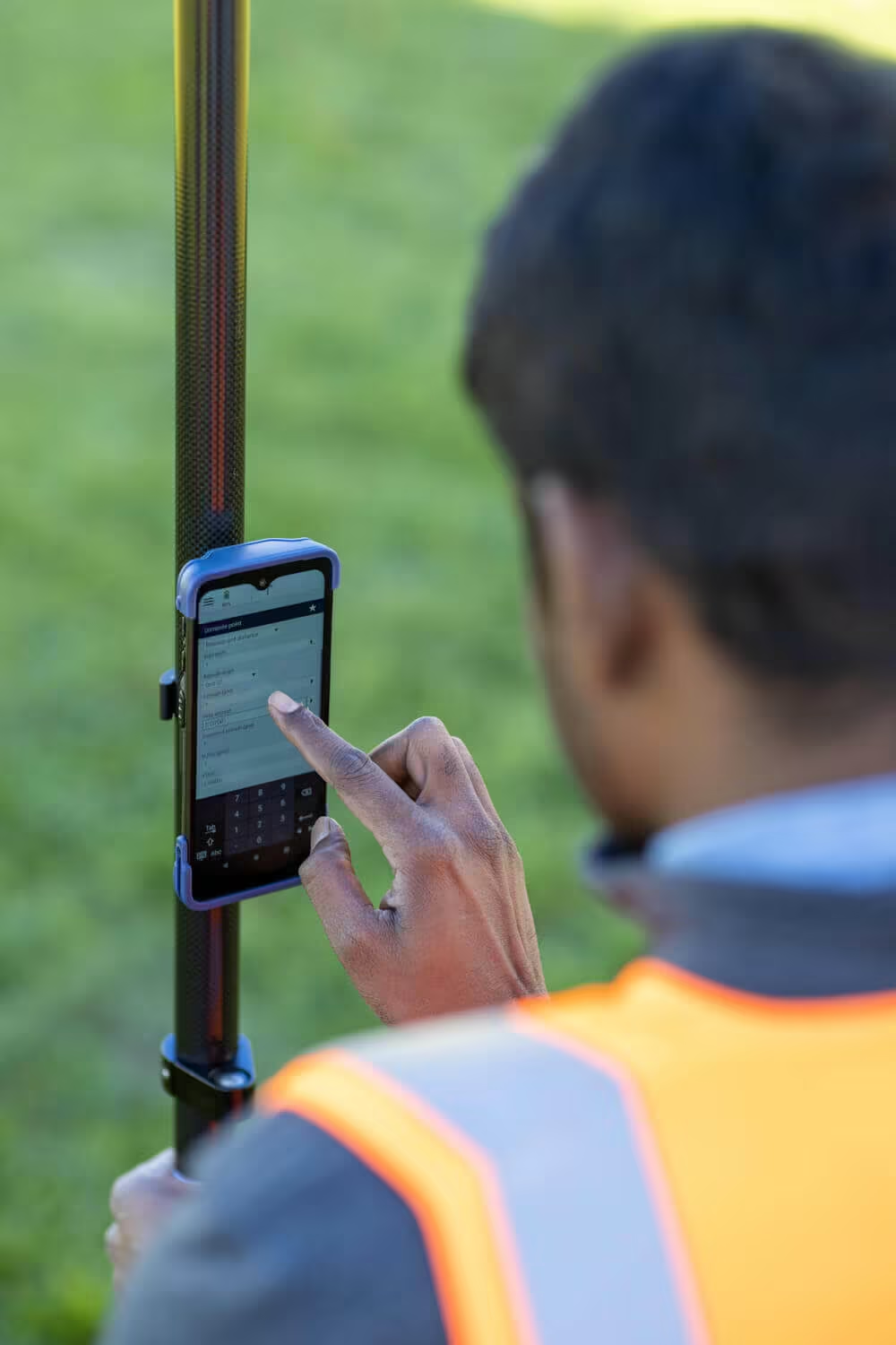
Explore the Origin through detailed imagery and product video that highlight its design, functionality, and field performance.


Related Images




Need a Quote?
We’ll Call You
Simply enter your contact details and one of our specialists will call you to discuss your requirements and provide a detailed quotation.
-

FOCUS 50
The Spectra Geospatial FOCUS 50 is a robotic total station you can customize to fit your needs. -

Ranger 7
The Ranger 7 Data Collector, with its rugged and sunlight readable 7-inch touch screen, full keypad, and Windows 10 Pro operating system, is built to hit mark for surveyors requiring an easy-to-use, rugged, cost-effective data collector. -

Ranger 5
This fifth-generation Ranger has a heritage that traces back to the first modern field computer for land surveyors. -

MobileMapper 6
The MobileMapper® 6 data collector provides professional handheld data collection workflows. -

SP90m
The Spectra Precision SP90m is a powerful, highly versatile, ultra-rugged, and reliable GNSS positioning solution for a wide variety of applications in real-time and post-processing. -

SP60
The SP60 is a new generation GNSS receiver offering a high level of flexibility & solutions. -

SP85
The SP85 is a next generation GNSS receiver that combines GNSS RTK technology with new GNSS processing.