Trimble Access
Designed to support the way surveyors work
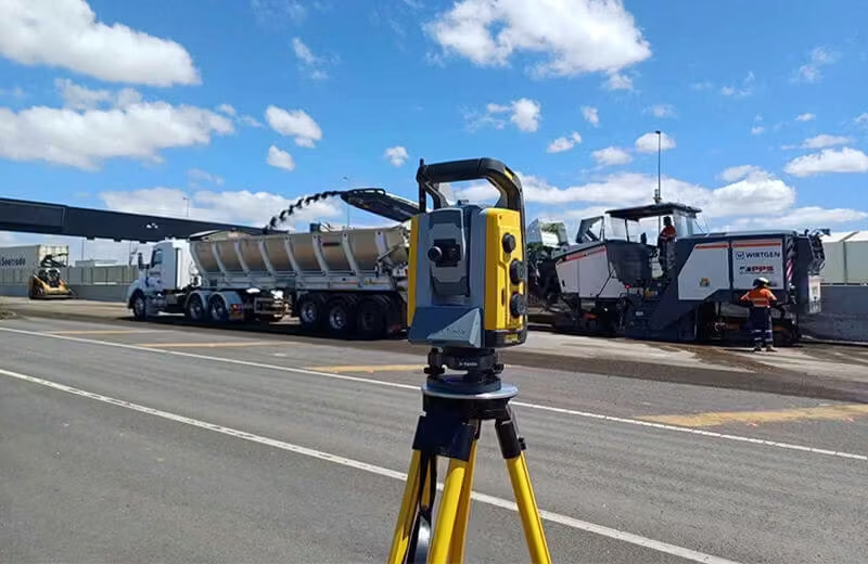
Trimble® Access™ is a leading field software used by professional surveyors around the world, with functionality that supports efficiency, accuracy and ease of use with simplified workflows. It offers survey teams a new approach to surveying that expedites data collection, processing, analysis, and delivery through improved workflows, collaboration and control, enabled by constant connectivity across the project team.
Need a Quote?
We’ll Call You
Simply enter your contact details and one of our specialists will call you to discuss your requirements and provide a detailed quotation.
Need a Quote?
We’ll Call You
Simply enter your contact details and one of our specialists will call you to discuss your requirements and provide a detailed quotation.
Greater Flexibility and Efficiency for Daily Survey Tasks
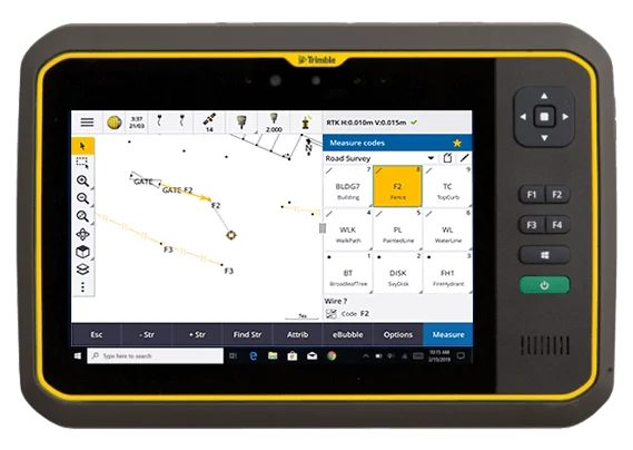
Trimble Access supports everyday survey workflows by providing greater flexibility and efficiency as you work.

Intuitive design simplifies field work
An optimized digital solution for survey workflows, enabling easier data collection, processing and analysis for field-to-office efficiency.
Powerful integration, convenient automation
Combine optical, scanning and GNSS job data sources. Automate tasks such as data synching and streamline the transfer of data between platforms.
Easy To Use
Full-function user interface
Easy to configure and troubleshoot, with adaptable batteries that allow you to dial up or use a lower power outlet depending on field size and needs.
Increase Productivity
Solve challenges in the field
Provides access to diagnostic data with a high over-the-air link rate, enabling you to solve signal strength issues and make adjustments to stay productive.
Flexible
With Trimble GNSS receivers
Capable of broadcasting, repeating and receiving real-time data used by Trimble GNSS receivers. Mount it on the same tripod as the receiver or on its own tripod.
Strong And Tough
Built for harsh conditions
The TDL450B military-spec design and full metal construction, with an IP67 rating, guarantees resilience to impact and weather.
Flexible Trimble Access Subscriptions Designed Around Your Workflow
Need a Quote?
We’ll Call You
Simply enter your contact details and one of our specialists will call you to discuss your requirements and provide a detailed quotation.

It’s time to put software licensing on your terms.
The new subscription licensing model for Trimble Access gives you more control and flexibility than ever before, with flexible annual terms, online license management, and modular plans that are tailored to your workflow.
With a subscription you benefit from lower upfront costs, regular access to the latest software enhancements and releases, and a licensing model that scales as your needs evolve. Licenses are tied to your Trimble Identity account, so you can assign and manage seats easily without the need for dongles, and work online or offline wherever your survey projects take you.
Whether you need GNSS-only support or full general survey functionality and specialised applications, this subscription-based approach lets you work the way you want with up-to-date tools for every job.
One Field Software Platform for Every Surveying Application

Surveying
Designed to support your everyday work, including topographic surveys, staking, control, and more; Trimble® Access™ offers a familiar, easy-to-use interface delivering increased productivity and saving you money.
Integrated Surveying technology combines optical, scanning, and GNSS data plus images in the same job.
Roads and Corridors
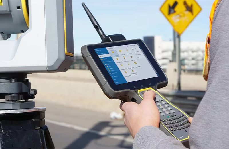
Designed to support your everyday work, including topographic surveys, staking, control, and more; Trimble® Access™ offers a familiar, easy-to-use interface delivering increased productivity and saving you money.
The streamlined workflow for Trimble® Access™ Roads adds powerful tools to simplify road stakeout. The step-by-step approach guides you with minimal training, providing all the tools at your fingertips to complete a road stakeout project.

Monitoring
Surveyors looking for a fast entry to deformation monitoring can take advantage of the Monitoring application for the Trimble® Access™ software suite.
The Monitoring module guides surveyors through a step-by-step process that speeds up setup, data collection, reporting, and return visits to the same monitoring projects.
The workflow is streamlined for regular, but not necessarily continuous, control and deformation surveys.
Tunnels
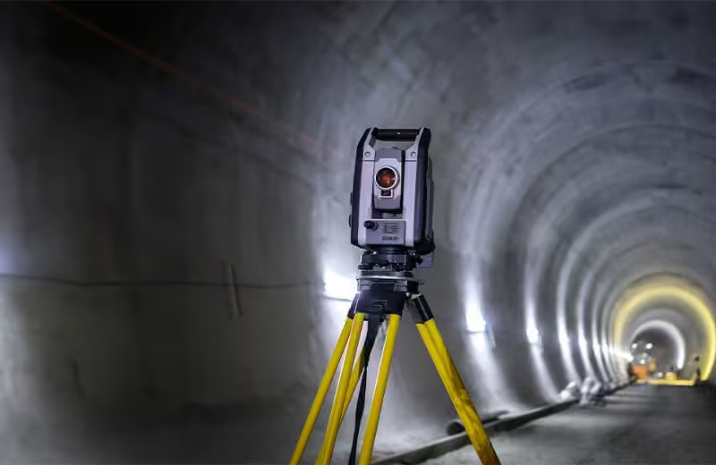
Trimble® Access™ Tunnels is the ideal application for the engineering surveyor who needs to check tunnels for over or underbreak, set out bolt holes, or position a drilling rig and requires:
-
Flexible software
-
An extensive range of powerful stakeout routines
-
Easy-to-use tunnel survey software that you can learn to be productive with after just a few hours of use
Pipe Lines
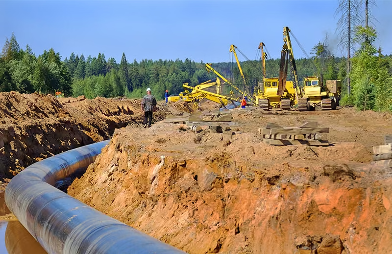
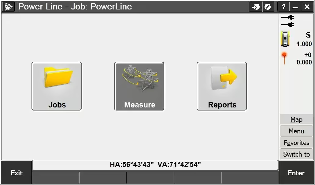
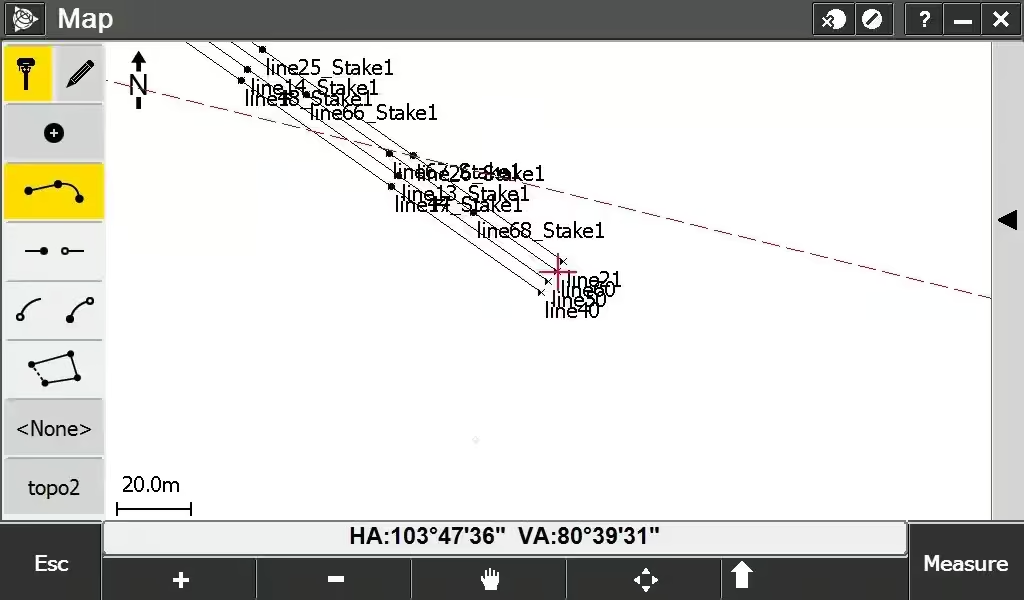
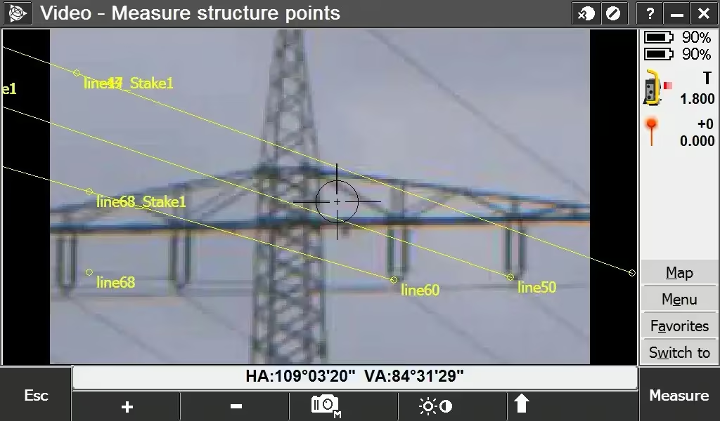
Trimble® Access™ Pipelines has powerful tools to collect pipe attribute data, record the relationship between welds and pipes (joints), and then when the pipeline is surveyed, electronically link the joint attributes to the measured welds.
All data is recorded electronically, available for checking at every step in the process, and all recorded attributes are stored with the survey data.
This process streamlines the workflows in the field as well as in the office.
Services
Trimble® Access™ services provides cloud-based data hosting and visualization tools for collaboration and easy access to your data with the Trimble Connect cloud. It also features:
-
A synchronization service that allows data to be shared instantly between the office and field crew – and between field crews. Send job updates or get updated project data when you need it.
-
Simplified data management so you can spend less time setting up and more time getting work done.
-
A seamless workflow with Trimble Access field software and Trimble Business Center – data where you need it.
-
A new, easy and intuitive interface that doesn’t require an IT department to use.
Access Specialised Applications
The Trimble Access software suite offers surveyors and geospatial professionals a range of specialized field applications designed to make fieldwork easier. With an easy-to-use interface, optimized workflows, and real-time data synchronization, the Trimble Access software suite enables you to accomplish more every day. Improve your competitive edge by selecting the applications that best suit the work that you do.

See the Trimble Access in Action
Watch Trimble Access in real-world use and see how its intuitive workflows, powerful tools, and seamless field-to-office integration help surveyors work faster, smarter, and with greater confidence.

Related Images


Need a Quote?
We’ll Call You
Simply enter your contact details and one of our specialists will call you to discuss your requirements and provide a detailed quotation.