
Field Software
Field software to support your workflows
Take control of your field projects with Trimble Flield software. Capture accurate geospatial data, stay connected to your team, and deliver results faster—no matter where your work takes you.
Need a Quote?
We’ll Call You
Simply enter your contact details and one of our specialists will call you to discuss your requirements and provide a detailed quotation.
Need a Quote?
We’ll Call You
Simply enter your contact details and one of our specialists will call you to discuss your requirements and provide a detailed quotation.
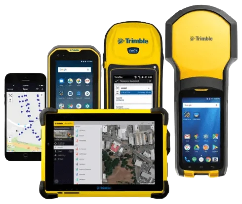
Streamline Data Collection and Collaboration with Trimble Field Software

Trimble field software is built to support professional surveyors, GIS technicians, and field crews with powerful tools that streamline data collection, processing, and collaboration. Whether you’re executing a topographic survey or managing asset data for GIS, Trimble’s software portfolio enables efficient, standardized workflows across a wide range of geospatial tasks.
With intuitive interfaces and seamless integration with GNSS receivers, total stations, and data collectors, Trimble field solutions such as Trimble Access, TerraFlex, SiteVision, and Penmap for Android help you capture accurate geospatial data faster and with greater confidence. Stay connected to your office team in real time, reduce errors, and accelerate your project timelines, all while working smarter in the field.
Backed by OPTRON’s local support and training, Trimble field software gives your team the digital edge needed to compete and succeed in today’s fast-paced geospatial industry.
Survey Field Workflows
-
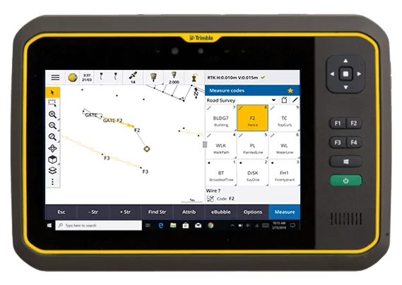
Trimble Access
Trimble® Access™ is a leading field software used by professional surveyors around the world, with functionality that supports efficiency, accuracy and ease of use.
-

Trimble Access Subscription
Trimble® Access™ Subscription introduces flexible, scalable plans that make it easier for survey teams to adopt and expand Trimble Access based on project needs.
GIS Field Workflows
-

HPS2
The Trimble® HPS2 handle combines the Trimble DA2 GNSS receiver with an EDM (electronic distance measurement).
-

SiteVision
Imagine if you could see things that are hidden or that don’t actually exist yet. With the Trimble® SiteVision™ outdoor augmented reality system you can.
-
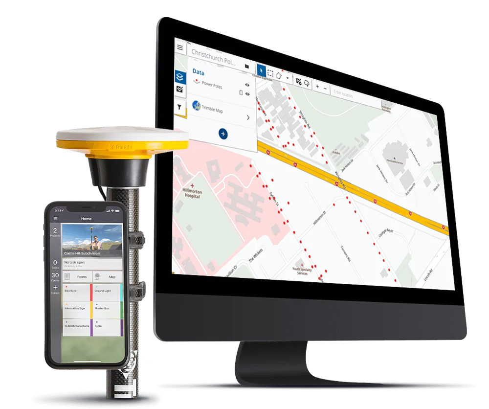
Terraflex
Imagine uniting easy, intuitive field data collection with the power of high-accuracy GNSS positioning in a single, streamlined application.
-

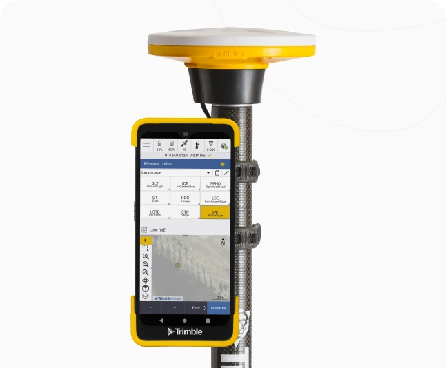
Penmap for Android
Trimble® Penmap® for Android™ is a powerful, yet incredibly straightforward, cloud-connected application for field surveying and high-accuracy GIS data collection.
Key Features of Trimble Field Software
-
Intuitive User Interface – Designed for ease of use in the field, even under challenging conditions
-
Real-Time Sync – Connect field crews with office teams for instant data sharing and project updates
-
Seamless Hardware Integration – Works flawlessly with Trimble GNSS receivers, total stations, and data collectors
-
Customisable Workflows – Tailor survey or GIS processes to match your project requirements
-
Offline Capability – Continue collecting and storing data even in remote locations with no signal
-
Support for Multiple Applications – Ideal for boundary surveys, construction layout, utility mapping, and asset management
-
Subscription Flexibility – Choose from Trimble Access subscription plans based on your workflow and usage
FAQs About Trimble Field Software for Surveying and GIS
Ready to Optimise Your Field Data Workflows?
Get in touch with OPTRON to discover how Trimble field software can streamline your surveying and GIS operations. From fast, accurate data capture to seamless office integration, we’ll help you choose the right software solution to boost productivity and simplify your fieldwork.
Complete the form to connect with local experts, request a quote, or find our more information.