Trimble R12i
A new angle of productivity
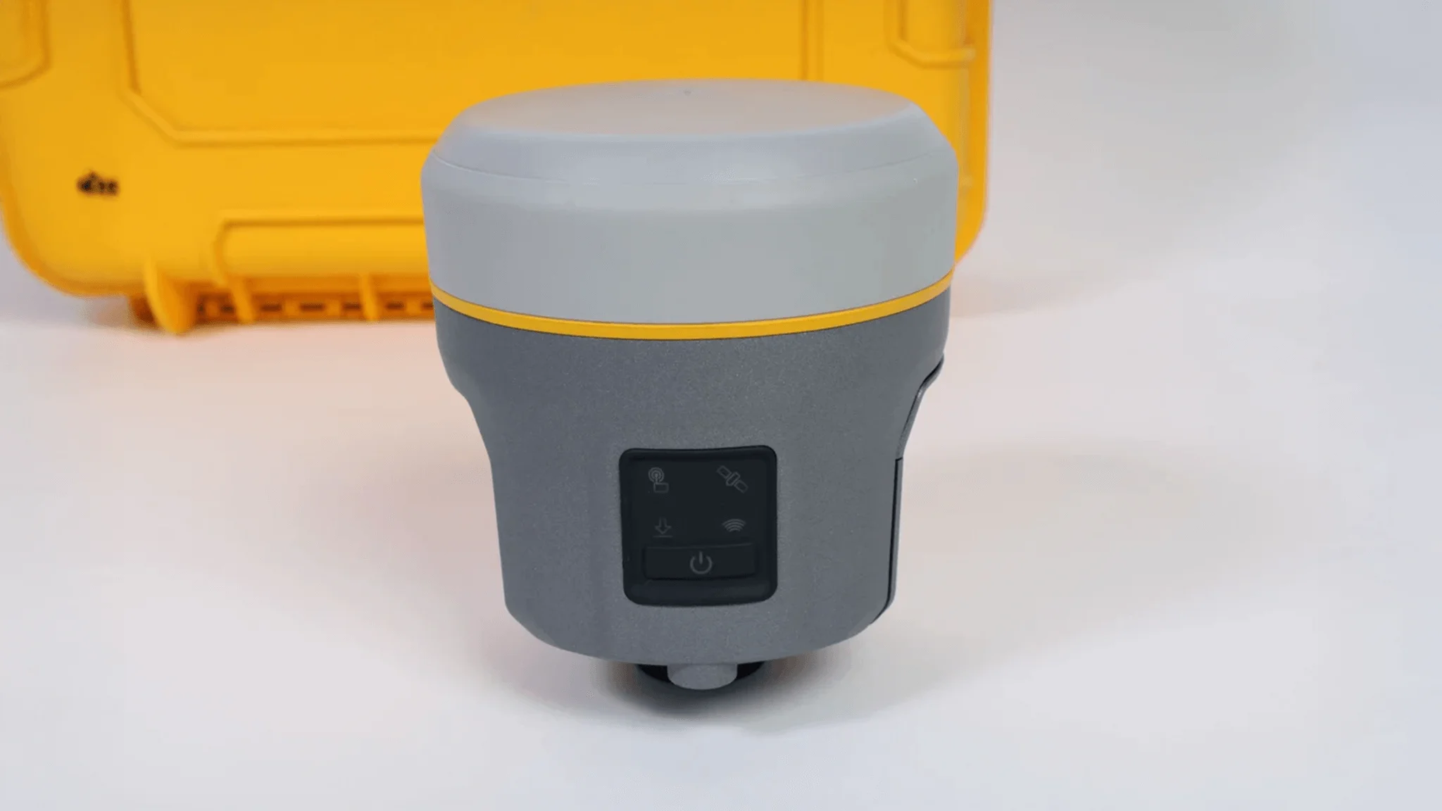
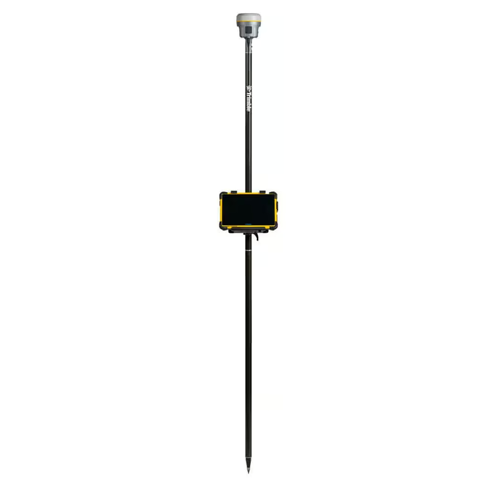
The Trimble R12i delivers unmatched GNSS performance, speed and accuracy to boost your productivity like never before. With improved performance in challenging GNSS conditions and robust IMU-based tilt compensation that lets you forget about leveling the pole, you’ll get more done faster than you thought possible.
Need a Quote?
We’ll Call You
Simply enter your contact details and one of our specialists will call you to discuss your requirements and provide a detailed quotation.
Need a Quote?
We’ll Call You
Simply enter your contact details and one of our specialists will call you to discuss your requirements and provide a detailed quotation.

Trimble ProPoint GNSS Technology
Superior performance in degraded GNSS conditions, with groundbreaking signal management that leverages the latest developments in GNSS signals and Trimble receiver hardware
Trimble TIP Tilt Compensation Technology
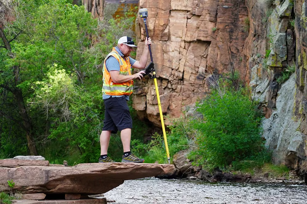
Inertial Measurement Unit (IMU) based tilt compensation for accurate laying out and measuring points without precisely leveling the pole
Trimble CenterPoint RTX Correction Service
Provides RTK level precision worldwide without the need for a base station or VRS network
Trimble 360 Technology
672 channels with support for all available and future GNSS signals, and improved protection from interference and spoofed signals
Trimble xFill Technology
Keeps you working in radio and cellular black spots with continuous RTK coverage
Augmented Reality Ready
Bring geospatial data to life and visualize your 3D data in the real world with Trimble SiteVision™ on the Trimble TSC7 controller
8 mm H / 15 mm V
Real time kinematic precision
672
GNSS channels
Integrated
GNSS antenna
Receive & Transmit
Wideband UHF radio, up to 2 Watt
Android & iOS
Platform for BYOD workflows
Web-based
User interface
More than 30% better performance in challenging environments
Accurate
A precise solution for repeatable results
Reliable
Real time error estimates in Trimble Access that empower the surveyor
Productive
Faster convergence means less time spent measuring points in the field
Trimble R12i features at a glance
Experience faster, safer, and more accurate field workflows with Trimble, designed to help you capture reliable measurements even in difficult environments and challenging survey conditions.
Trimble TIP Tilt Compensation Technology

IMU-based tilt compensation
Calibration-free Inertial Measurement Unit based tilt compensation with immunity to magnetic interference

Reach hard to access points
Easily obtain accurate measurements on obstructed points like building and property corners or utility inverts

Stay out of harm’s way
Safely capture points in hazardous locations like the edge of an open excavation or on roadways

Built-in automatic integrity monitoring
Have total trust in your system with real-time IMU anomaly detection and alerts

Watch the pole tip not the bubble
On-screen stakeout instructions guide the pole tip directly to the design point. No need to repeatedly adjust the pole tip position and re-level the receiver when measuring points
Core Technologies That Power Precision

Trimble ProPoint™ GNSS
Improved performance in challenging GNSS conditions, with ground breaking signal management that leverages the latest developments in GNSS signal infrastructure and Trimble receiver hardware.

Trimble SurePoint™
Precise position capture with eBubble and compass-based tilt compensation.

Trimble 360
672 channels with support for all available and future GNSS signals, and improved protection from interference and spoofed signals.

CenterPoint® RTX Corrections
Provides RTK level precision worldwide without the need for a base station or VRS network.
Trimble xFill®
Keeps you working in radio and cellular black spots with continuous RTK coverage.
See the R12i in Action
Explore real-world footage and imagery of the R12i operating in demanding field conditions. See how its advanced GNSS performance, rugged design, and precision capabilities support efficient, high-accuracy data collection across a range of surveying environments.
Related Images




Need a Quote?
We’ll Call You
Simply enter your contact details and one of our specialists will call you to discuss your requirements and provide a detailed quotation.
-

Trimble R980
The Trimble® R980 GNSS system unlocks peak accuracy and productivity for land surveyors with proven GNSS performance. -

Trimble R780
The Trimble® R780 GNSS receiver is a highly accurate GNSS system built to handle the toughest survey environments. -
Trimble R4s
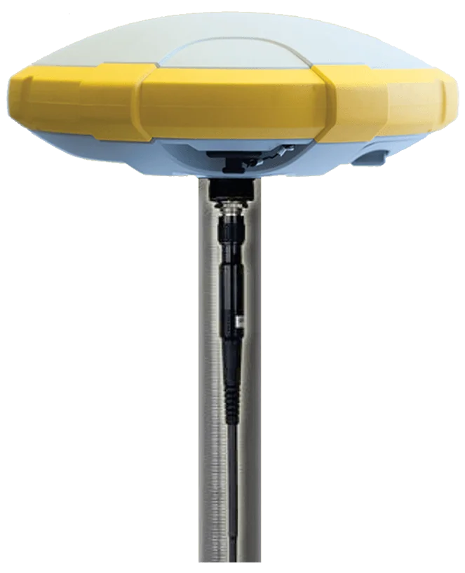
The R4s is Trimble’s latest GNSS solution which offers the highest level of reliability and accuracy that you have come to expect of the world’s leading geospatial solutions provider. -

Trimble R580
Depend on the Trimble® R580 GNSS system to keep you working with survey precision. -
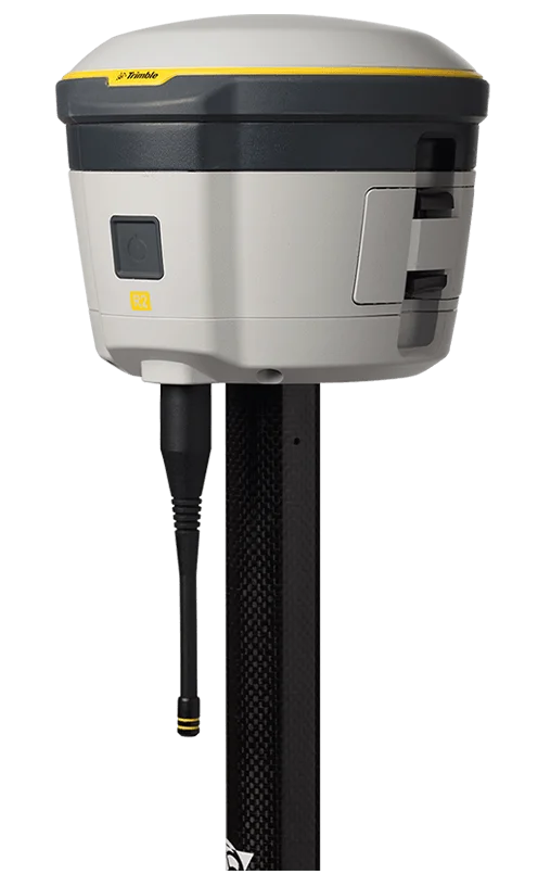
Trimble R2
The Trimble® R2 is a compact, durable GNSS receiver that provides an easy-to-use solution for GIS and survey professionals.