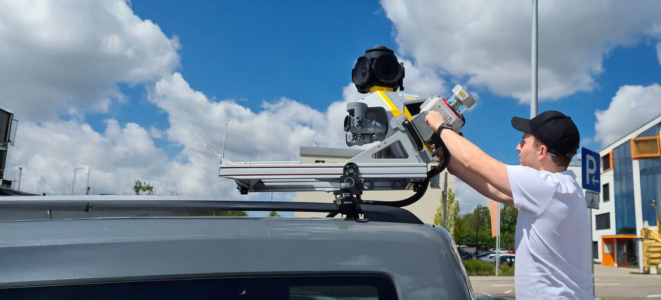
Trimble MX90
Achieve new levels of Productivity
The Trimble® MX90 system is part of a complete field-to-finish mobile mapping solution that combines leading-edge hardware with intuitive field software and an integrated office software workflow.
Need a Quote?
We’ll Call You
Simply enter your contact details and one of our specialists will call you to discuss your requirements and provide a detailed quotation.
Need a Quote?
We’ll Call You
Simply enter your contact details and one of our specialists will call you to discuss your requirements and provide a detailed quotation.
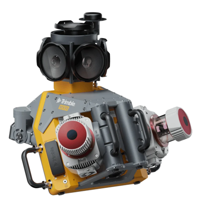
The Trimble MX90 delivers precise, feature-rich geospatial data with cutting-edge accuracy and imaging
The Trimble® MX90 is a powerful leading-edge mobile mapping solution, with state-of-the-art Trimble GNSS and inertial technology. It produces precise feature-rich data from trusted field-proven laser technology and immersive 360 degree panaramic and targeted camaras.
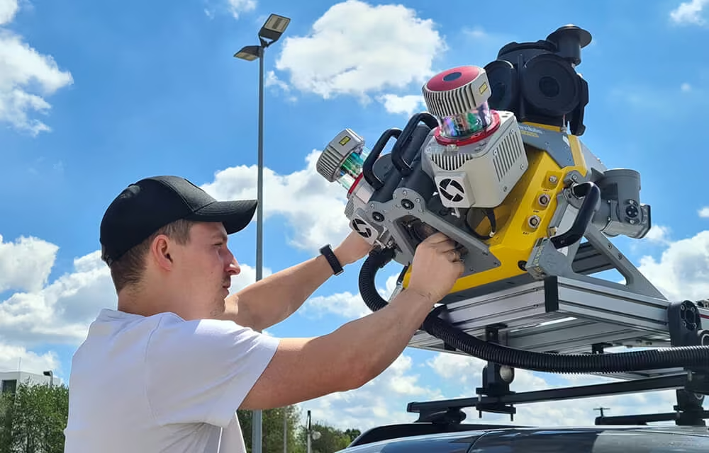
Premium, Powerful Mobile Mapping Solution
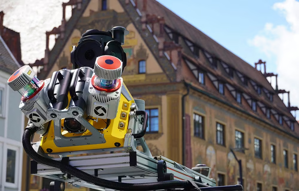
Produce and Share Robust Deliverables Efficiently
Capture, process, extract and share high density point clouds and rich, immersive imagery to produce meaningful deliverables. Discover new productivity levels leveraging the complete Trimble field-to-finish workflow.
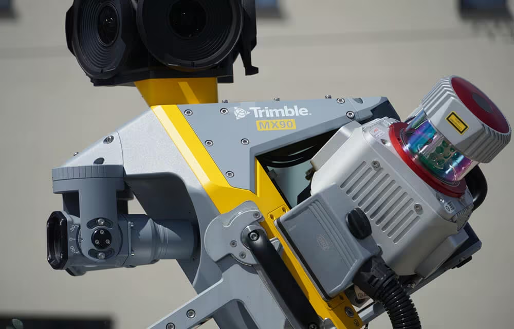
Key Specifications
-
Up to 3.6 MHz Laser
-
72 MP (6 x 12 MP) Spherical camera
-
Deploys on all sizes of vehicles
-
Inertial Measurement Unit (IMU) for enhanced GNSS precision
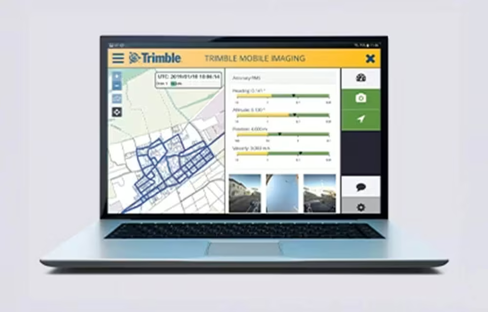
Quickly obtain Geospatial Data
Control data acquisition with any smart device and easily adjust the lasers and oblique camera for the best orientation.
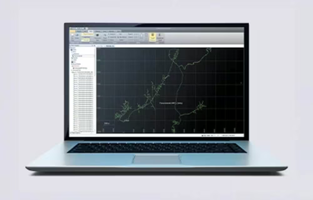
Combine GNSS & Inertial Data
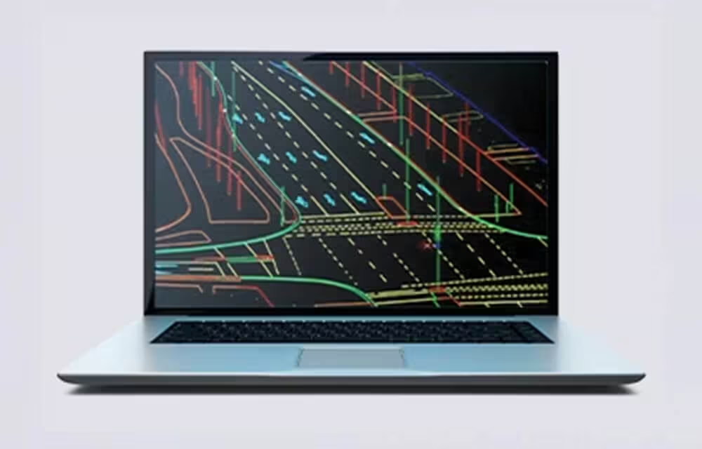
High Quality Deliverables
Create, inspect and analyze high quality survey, engineering CAD and GIS deliverables, by leveraging the data fusion capabilities of Trimble Business Center.
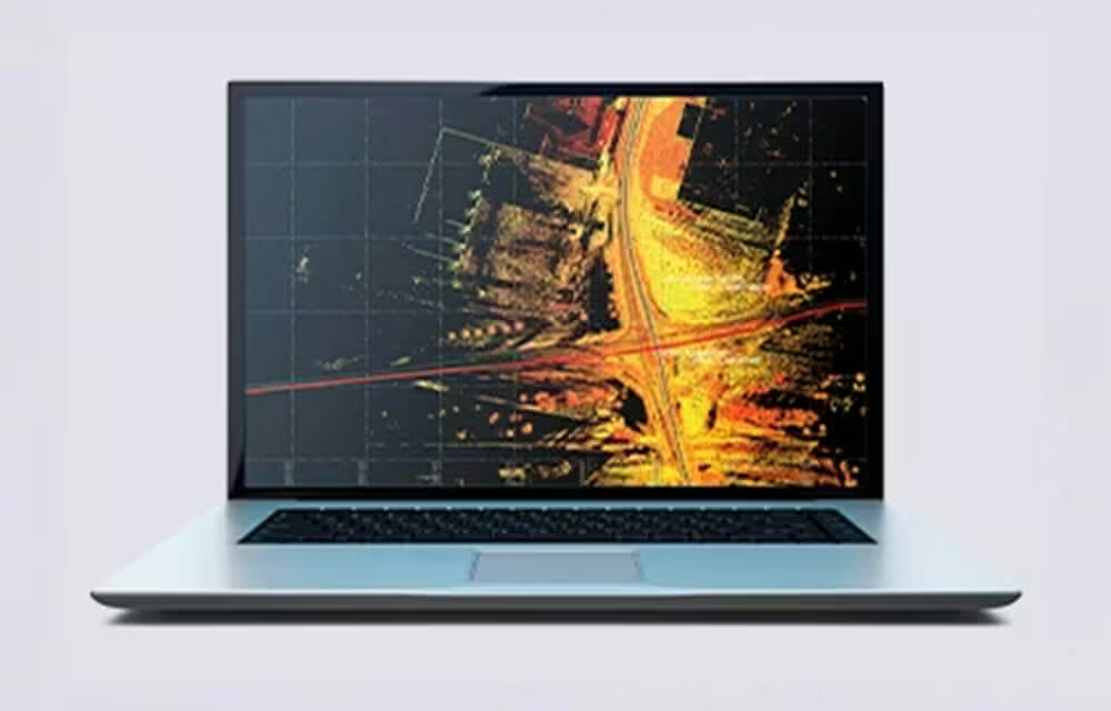
Publish & Collaborate
Avoid site revisits by sharing for-collaboration point clouds and images with overlaid existing asset data.
See the Trimble MX90 in Action
Explore the MX90 at work in real environments. See how its advanced sensors, 360-degree imaging, and high-accuracy GNSS deliver powerful results for mobile mapping projects of every scale.
Related Images



Need a Quote?
We’ll Call You
Simply enter your contact details and one of our specialists will call you to discuss your requirements and provide a detailed quotation.
-

Trimble MX7
The Trimble MX7 Mobile Imaging System is a fast and cost effective way to manage assets.
-
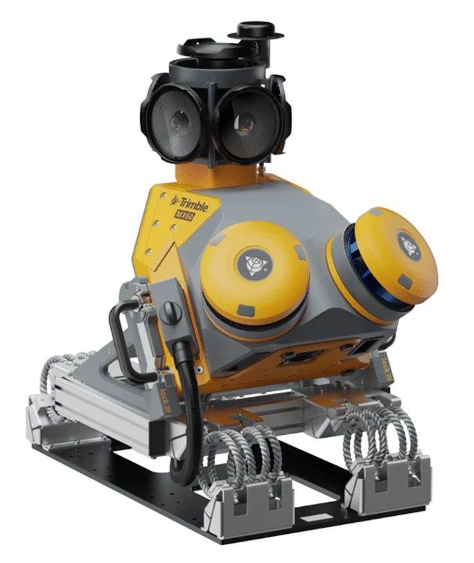
Trimble MX60
The Trimble® MX60 system is part of a complete field-to-finish mobile mapping solution