XS12
Built for seamless workflow integration and better, faster results in every field
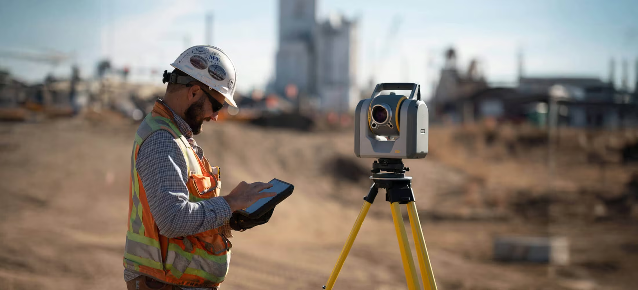
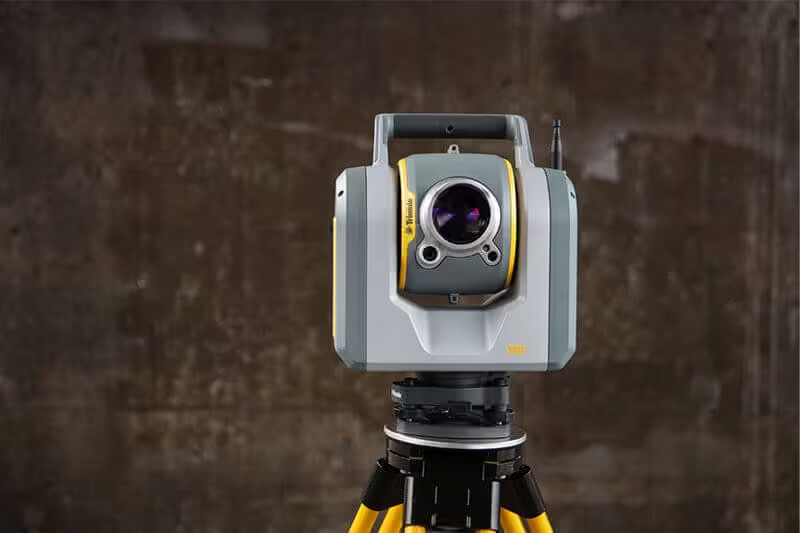
With the NEW Trimble SX12 Scanning Total Station working harder has never been easier. It combines innovative technology with simple and intuitive functionality to help you save time, maximize efficiency and get more done in the field.
Need a Quote?
We’ll Call You
Simply enter your contact details and one of our specialists will call you to discuss your requirements and provide a detailed quotation.
Need a Quote?
We’ll Call You
Simply enter your contact details and one of our specialists will call you to discuss your requirements and provide a detailed quotation.

The Trimble SX12 is the one instrument you need to handle any survey project by integrating surveying, imaging and 3D scanning capabilities into your everyday workflow.
Integrated System
-
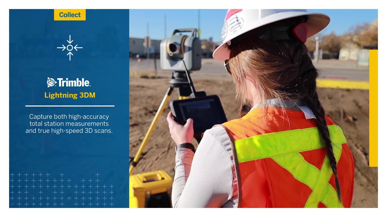
Collect survey data VISIONTM imagery and high-speed scans easily with Trimble AccessTM field software and the SX12’s Lightning 3DM
-
Process seamlessly with Trimble Business CenterTM office software or Trimble RealWorksTM office software for more advanced scan processing
-
Share with anyone using web-based Trimble Clarity
-
Rely on your eqiuipment for years to come with the Trimble Service and Warranty guarantee
Our Smallest, Brightest Laser Pointer
-
Aim, measure and mark A green focusable laser pointer yields the smallest spot size in the industry – just 6mm @ 100m, letting you work from longer range
-
Stay eye-safe without compromising laser visibility
Trimble SX12 features at a glance
High accuracy total station, high quality scan data
-
1″ angular accuracy
-
1.5 mm scan range noise at 200 m
-
14 mm diameter EDM laser spot at 100 m
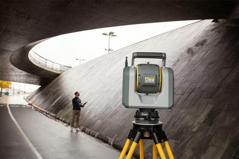
Quick data capture, even at long range
-
26.6 kHz scan measurement rate, up to 600 m
-
1.6 s total station measuring time in prism mode
-
1.2 s total station measuring time in DR mode
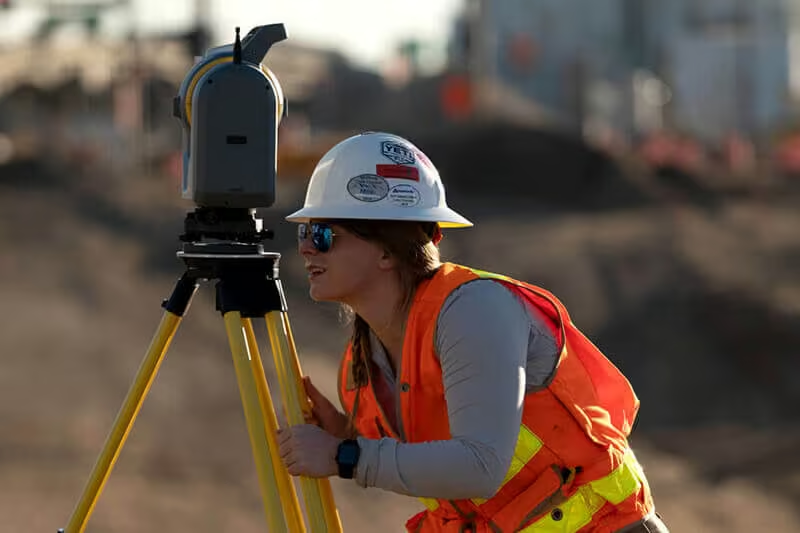
Vivid, eye-safe laser pointer
-
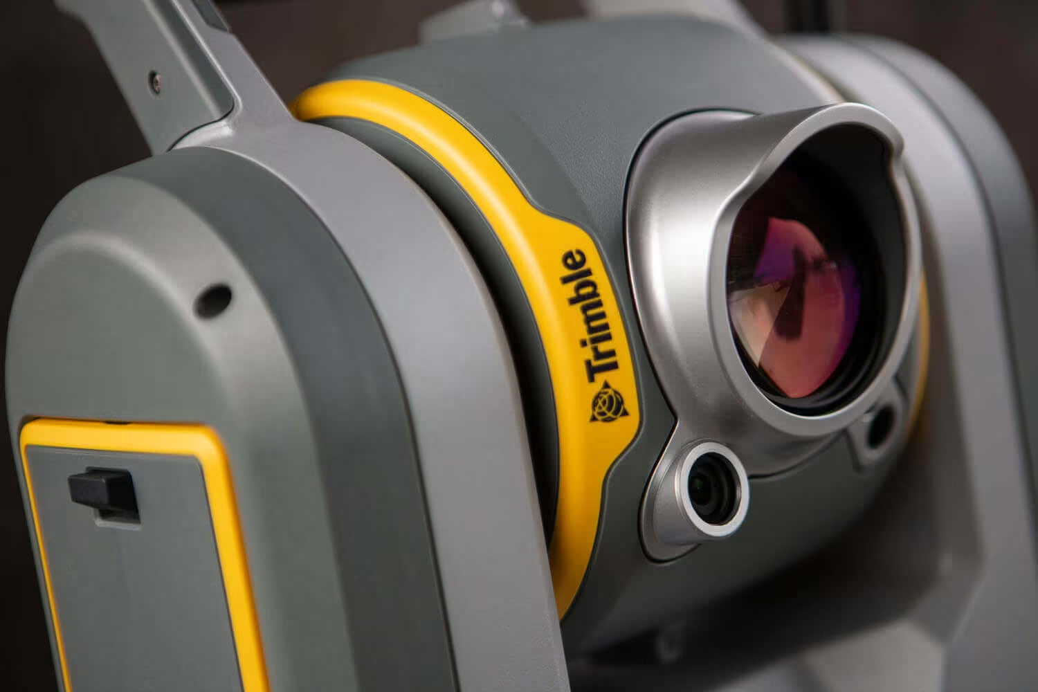
Green and focusable, this laser pointer is exceptionally small, bright, and still eye safe
-
3 mm diameter laser pointer spot at 50 m
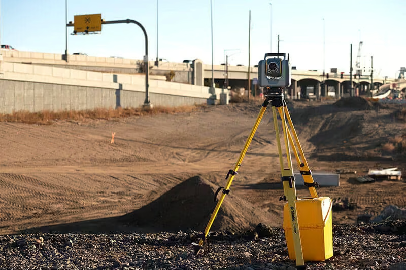
Trimble VISION™ camera system
-
Simple navigation and documentation with 3x integrated and calibrated cameras in the telescope
Versatile Applications for High-Precision Surveying and Scanning
Experience faster, safer, and more accurate field workflows with Trimble, designed to help you capture reliable measurements even in difficult environments and challenging survey conditions.
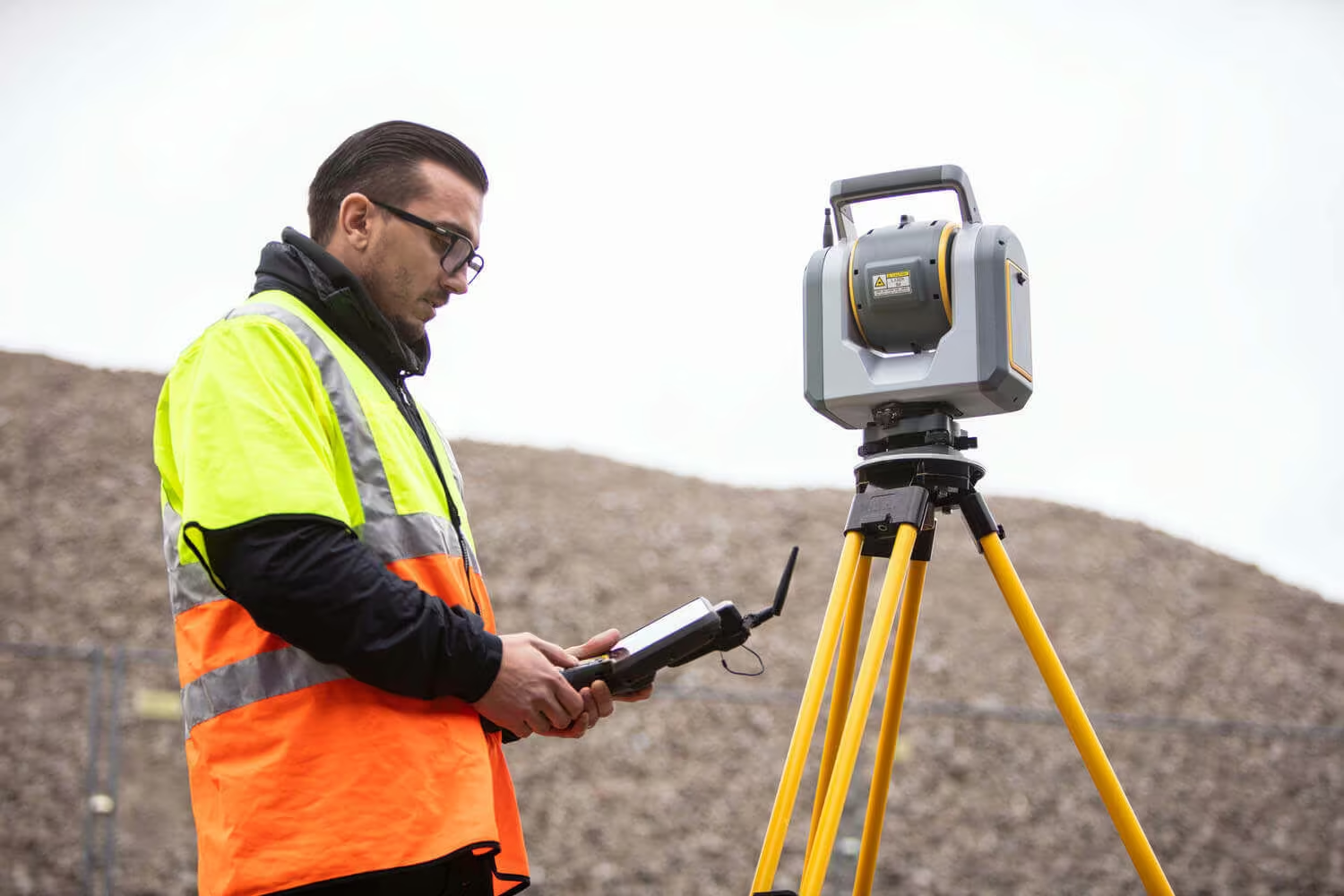
Boundary and Land Title Surveys
Improve safety and reduce costs by avoiding road closures and keeping surveyors out of harm’s way. Efficiently scan road corridors and intersection details such as roadway surfaces, overhead power lines and lane markings. Capture flow-lines, manholes, and right-of-way monumentation with prism observations, then use Trimble Business Center’s automated tools to extract point features such as signs and pole attributes and 3D linework for curb and gutter. Incorporating detailed panorama imagery, provide site context like never before to improve deliverable quality and communications between you and your clients.
Topo, Stake-out and Surface Inspection
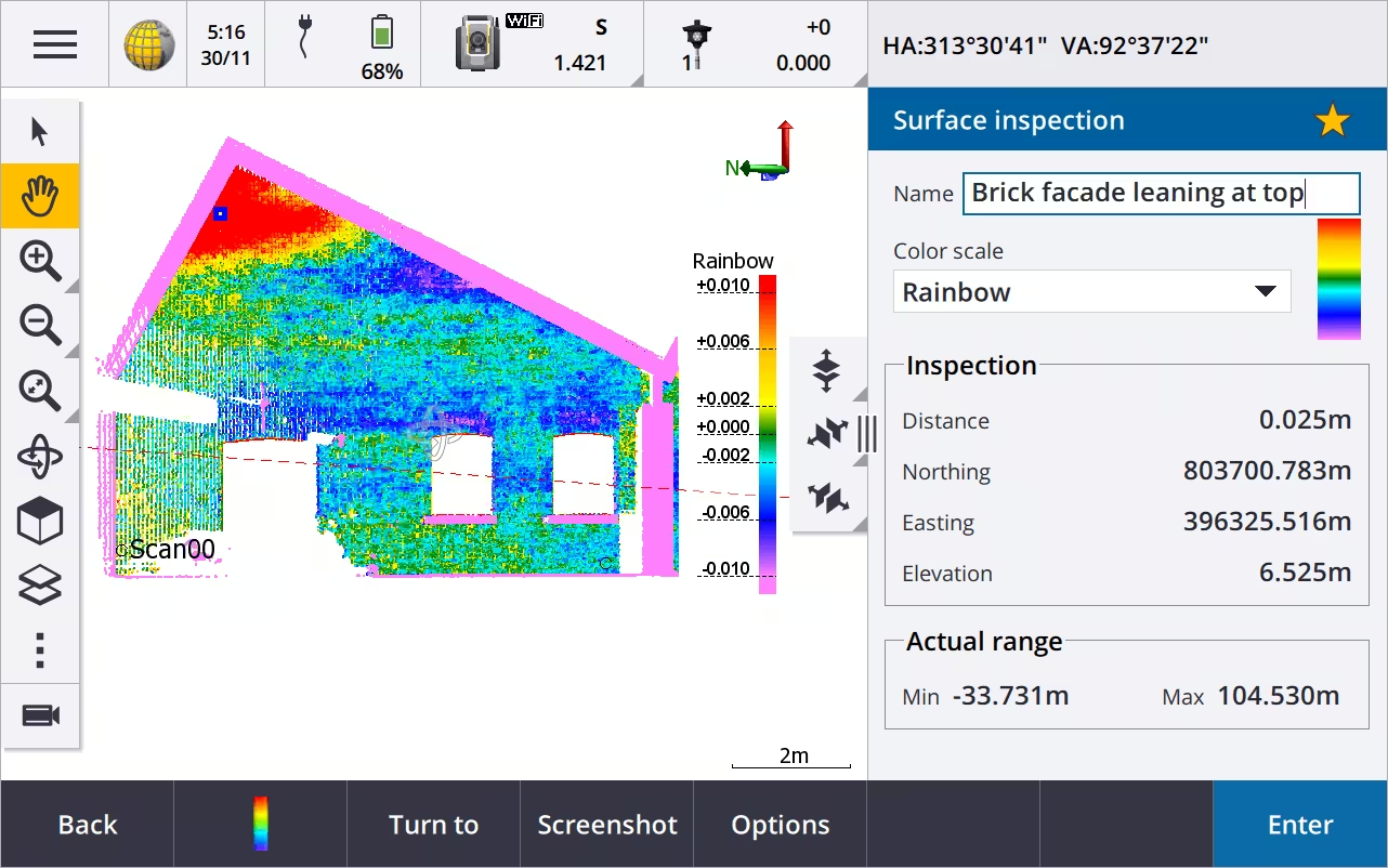
Count on the focused and exceptionally visible laser pointer to stake out points or measure topo points with ease, even at night. Use Trimble® Access™ to easily compare scans to a reference surface such as a horizontal floor, inclined or vertical wall, or cylinder. Reference colorized point clouds to instantly identify surface irregularities, then mark issues in the field using the laser pointer.
Underground Mine Survey
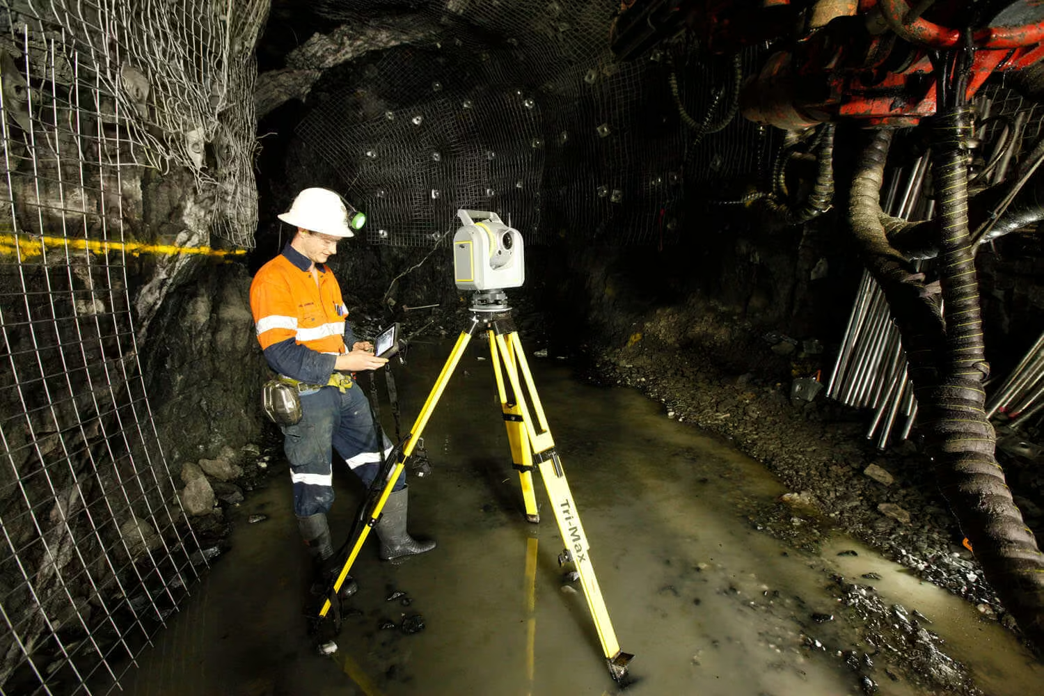
Achieve discrete total station point measurement and 3D scanning with one powerful instrument. Easily stake out mine features using the ultra-bright, high-power laser, then scan to efficiently collect georeferenced point cloud data. Boost accuracy and speed when performing volumetric surveys, including overbreak and underbreak comparisons.
Roadway / Corridor Survey
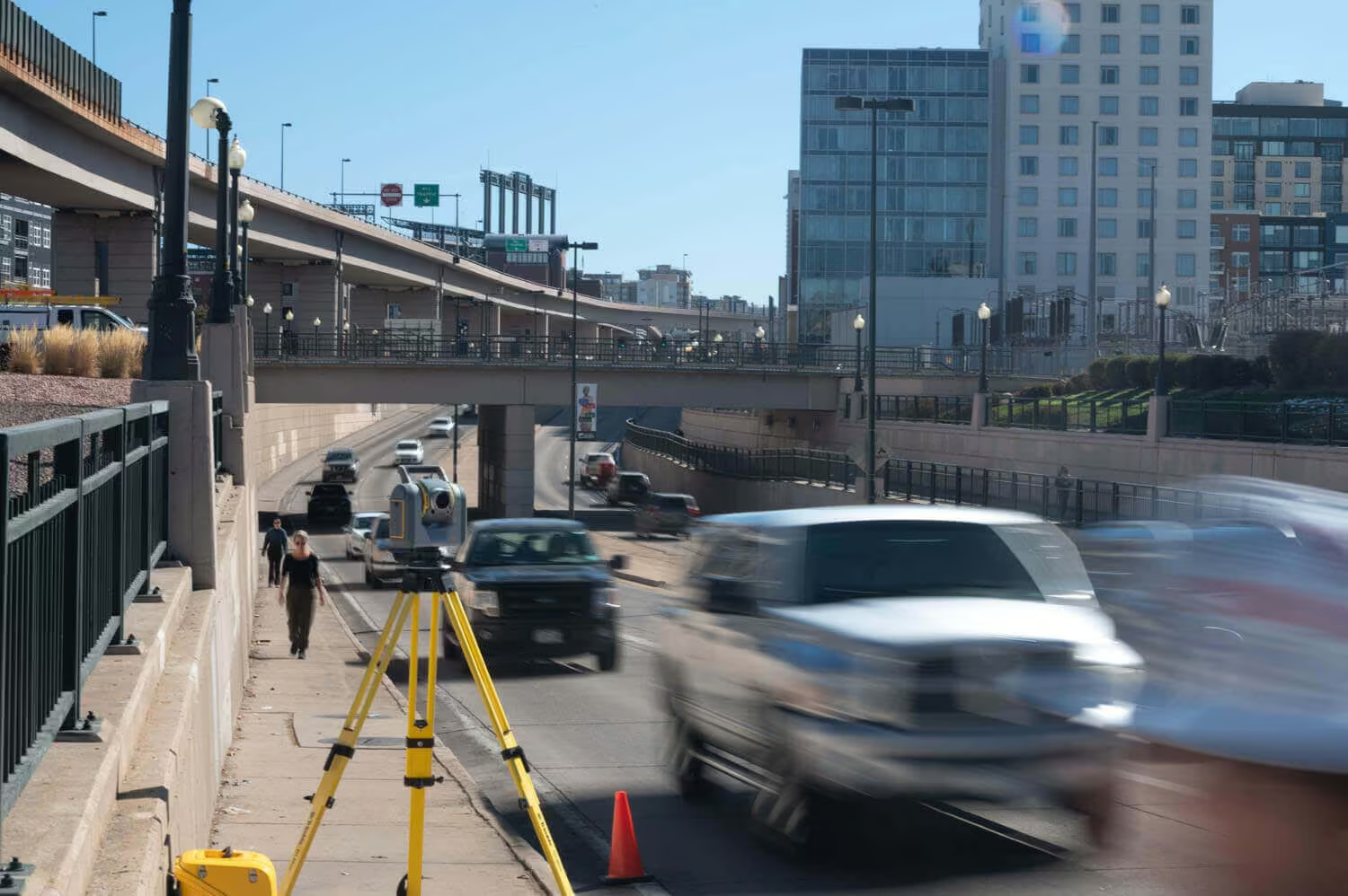
Improve safety and reduce costs by avoiding road closures and keeping surveyors out of harm’s way. Efficiently scan road corridors and intersection details such as roadway surfaces, overhead power lines and lane markings. Capture flow-lines, manholes, and right-of-way monumentation with prism observations, then use Trimble Business Center’s automated tools to extract point features such as signs and pole attributes and 3D linework for curb and gutter. Incorporating detailed panorama imagery, provide site context like never before to improve deliverable quality and communications between you and your clients.
Civil Infrastructure As-builts
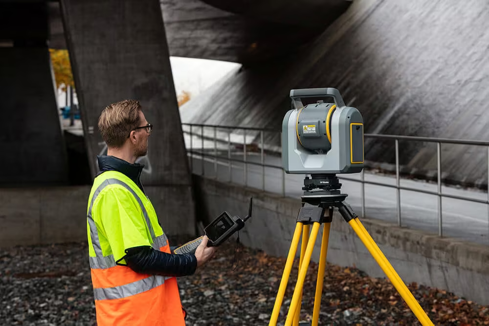
Capture rich, accurate and complete geometrical and visual documentation of bridges, dams, tunnels, complex structures and more. Work smarter and faster on as-builts, clearance, deformation monitoring and retrofit design projects. With simple framing techniques and 600 m scan ranges, it’s easy to collect detailed data, even on large or remote structures.
See the Trimble SX12 in Action
Discover the precision and speed of the Trimble SX12. Watch how it transforms surveying with unmatched accuracy and efficiency.
Related Images


Need a Quote?
We’ll Call You
Simply enter your contact details and one of our specialists will call you to discuss your requirements and provide a detailed quotation.
-

S5
Built on proven Trimble technologies––including Trimble SurePoint and MagDrive™ technology, and our DR Plus EDM.
-

S7
The Trimble S7 Total Station combines scanning, imaging and surveying into one powerful solution.
-

S9 /S9 HP
Whether your project involves monitoring, tunneling, or another highly specialized application, the Trimble S9 total station is the solution.
-
C3
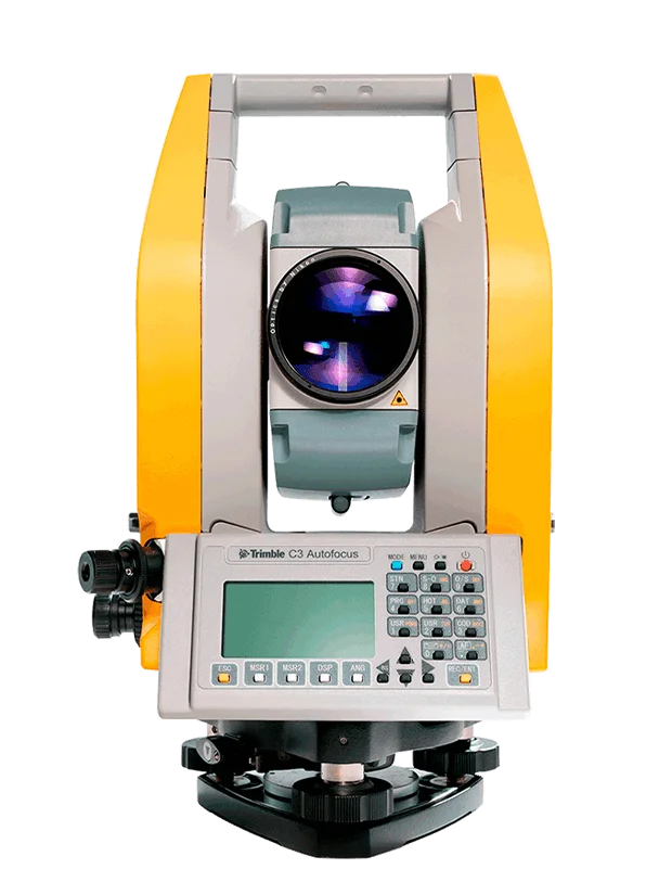
The Trimble C3 mechanical total station delivers the range of features you expect and the accuracy you need, whatever the project or terrain.
-

C5
The Trimble C5 mechanical total station completes the industry’s top portfolio with productivity-boosting, time-saving features that make fieldwork easier and faster.