Category: Surveying & Agriculture
-
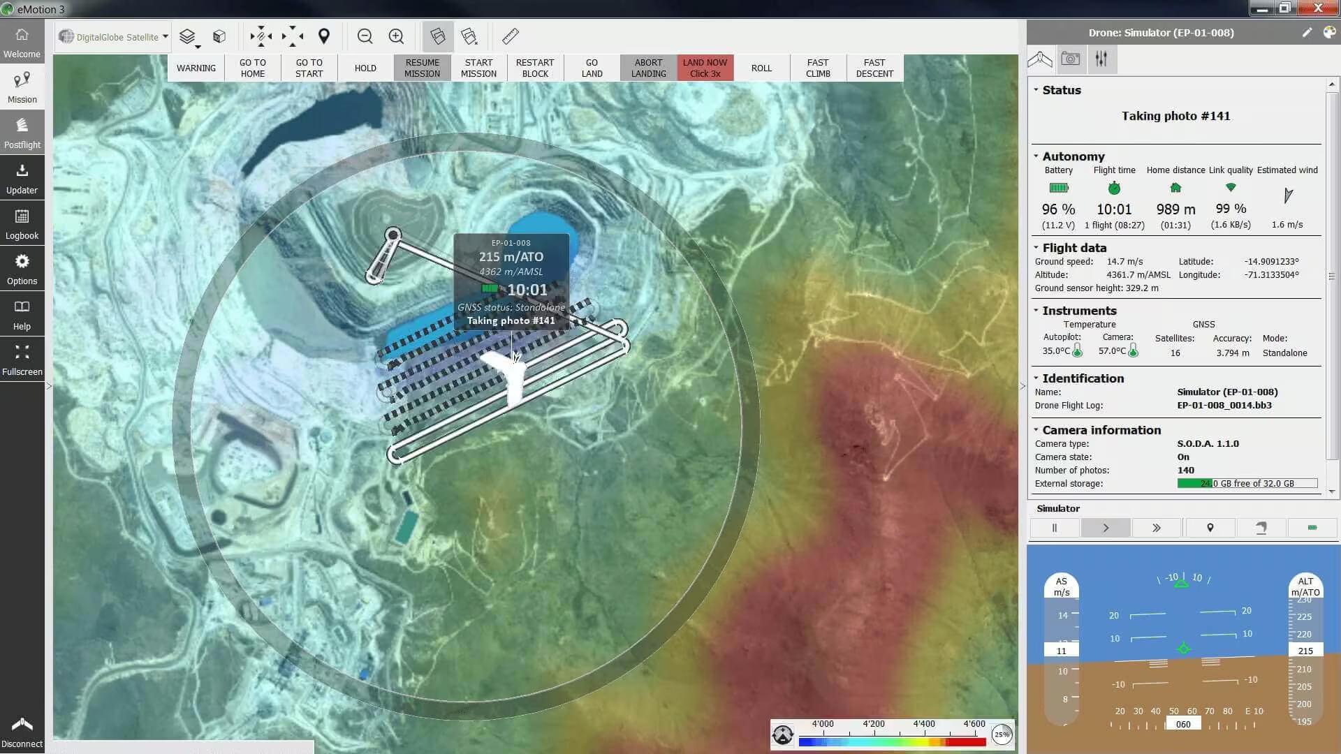
eMotion
Flight planning software for eBee drones. This easy-to-use desktop ground station allows you to intuitively plan your missions, interact with your drones during the flight and prepare the data for post-processing.
-

Corridor
The Corridor is a combined S.O.D.A. and eMotion software solution that makes corridor mapping easy. With its portrait camera position, it requires 30% fewer images to map the same linear route. This also means 30% shorter image processing times after your flight.
-

S.O.D.A.
The S.O.D.A. is the first photogrammetry camera to be built for professional drone use and has quickly become the reference sensor in its field. It captures amazingly sharp aerial images, across light conditions, resulting in detailed, vivid orthomosaics.
-

Duet M
The Duet M is an innovative dual-purpose RGB and multispectral mapping camera rig. Use it to create geo-accurate multispectral maps and high-resolution digital surface models (DSMs) quickly and easily.
-

Aeria X
The Aeria X is a compact drone photogrammetry camera. This rugged innovation offers the perfect blend of size, weight and DSLR-like image quality. It offers stunning image detail and clarity, in virtually all light conditions, allowing you to map for more hours per day than ever before.
-
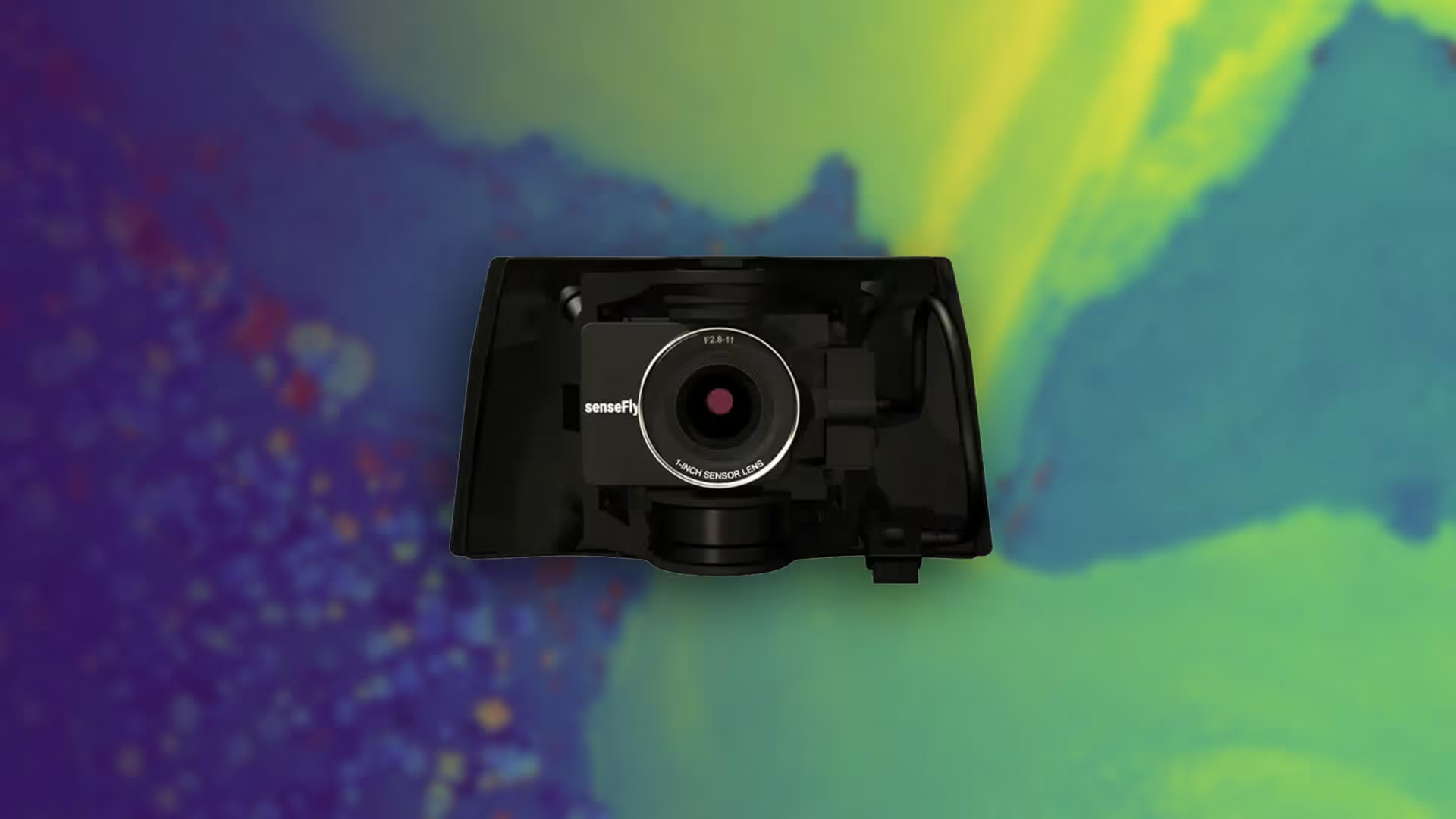
S.O.D.A. 3D
The S.O.D.A. 3D mapping camera is a professional drone photogrammetry camera that changes orientation during flight to capture three images (2 oblique, 1 nadir) every time, instead of just one, for a much wider field of view.
-

eBee X
The eBee X is the fixed-wing drone for all your mapping needs. Designed to boost the quality, efficiency and safety of your data collection, it has a camera to suit every job, the accuracy and coverage to meet every project’s requirements, and can work virtually every type of site.