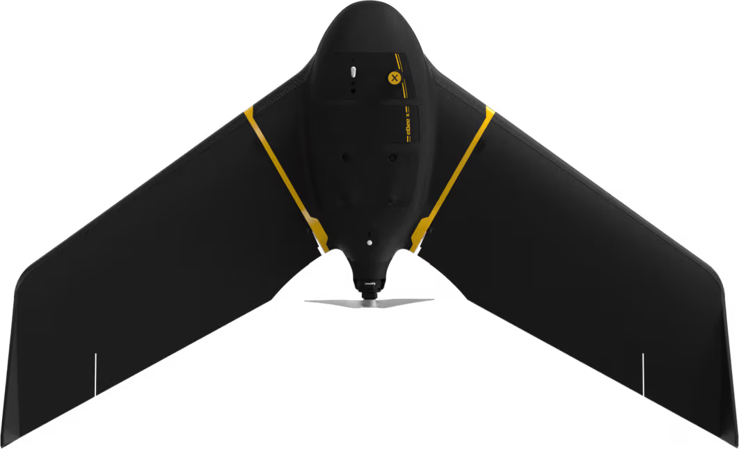
eBee X
Lightweight mapping drone for large coverage and sharp data
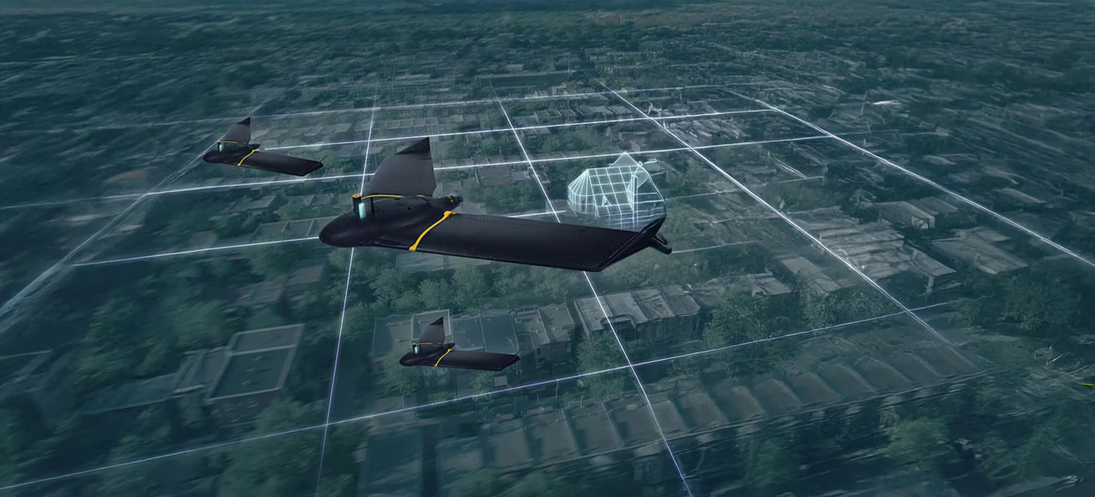
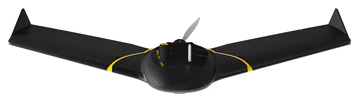
The eBee X is the fixed-wing drone for all your mapping needs. Designed to boost the quality, efficiency and safety of your data collection, it has a camera to suit every job, the accuracy and coverage to meet every project’s requirements, and can work virtually every type of site.
Need a Quote?
We’ll Call You
Simply enter your contact details and one of our specialists will call you to discuss your requirements and provide a detailed quotation.
Need a Quote?
We’ll Call You
Simply enter your contact details and one of our specialists will call you to discuss your requirements and provide a detailed quotation.
Large-area coverage with pinpoint accuracy
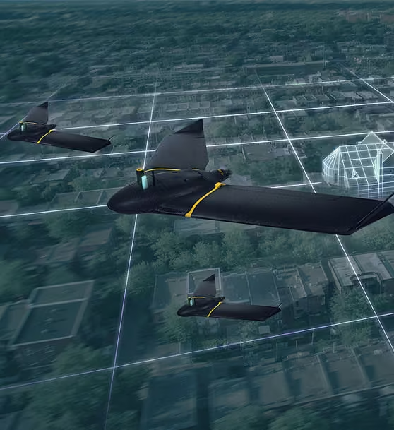
Enjoy vast coverage of up to 500 ha at 122 m by activating the eBee X’s unique Endurance Extension. Designed for efficiency, the platform enables high-volume data capture without sacrificing precision, making it ideal for large-scale mapping and surveying tasks
Whether you are covering extensive agricultural fields or industrial sites, the extended endurance capability ensures fewer flights and greater operational productivity.
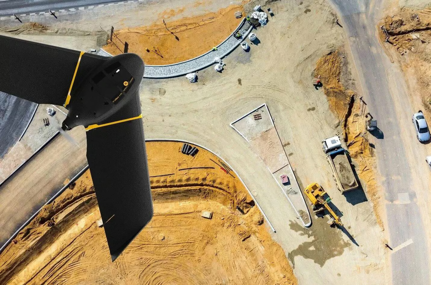
Efficient & Precise
Enjoy vast coverage of up to 500 ha at 122 m by activating eBee X’s unique Endurance Extension.
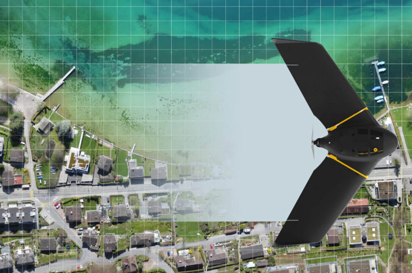
Rugged & Reliable
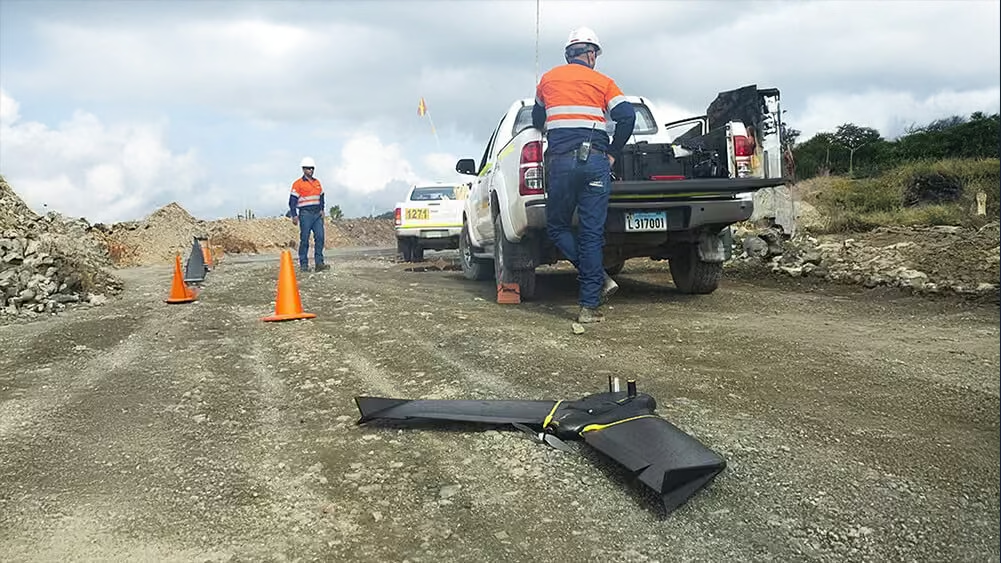
The eBee X allows you to work virtually every site, no matter how demanding, thanks to its space-friendly Steep Landing technology, ultra-robust design, live air traffic data and more—all backed by senseFly’s trusted professional, local support.
Multi-purpose
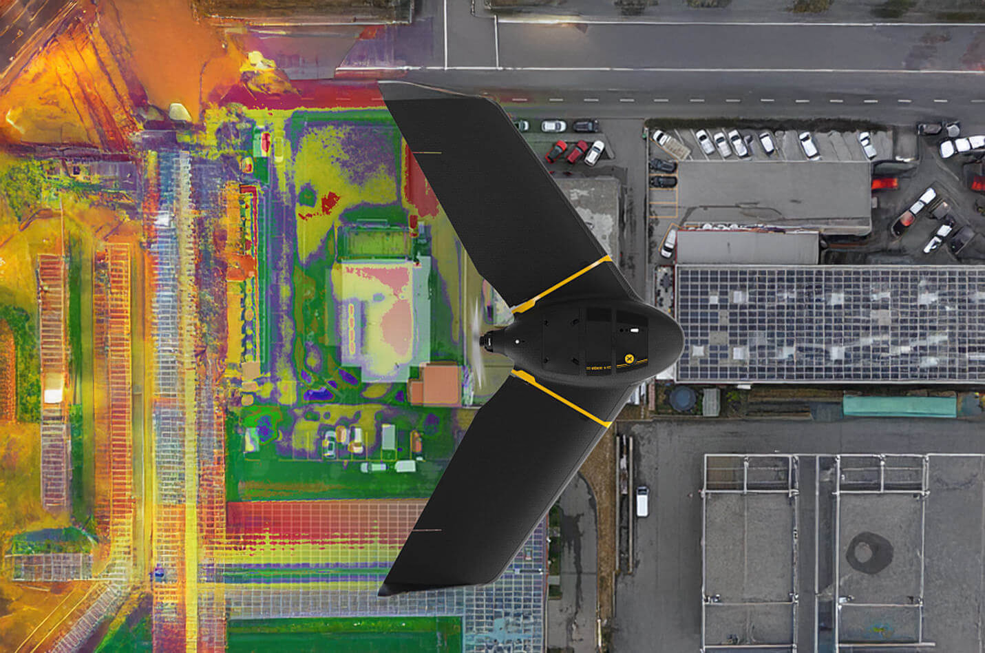
The eBee X suits every job thanks to its range of groundbreaking cameras.
These include the new senseFly S.O.D.A. 3D, for stunning 3D reconstructions of vertical environments, the best-in-class senseFly Aeria X RGB photogrammetry camera and the senseFly Duet T for creating geo-accurate thermal maps.
Map smarter and safer
The eBee X delivers professional aerial mapping with versatile camera compatibility, precise positioning and extended flight endurance. Designed for efficiency and reliability, it enables accurate data capture across a wide range of applications while supporting modern regulatory requirements and operational flexibility. Below you’ll find the core features that power smarter and safer mapping workflows.
Need a Quote?
We’ll Call You
Simply enter your contact details and one of our specialists will call you to discuss your requirements and provide a detailed quotation.
Need a Quote?
We’ll Call You
Simply enter your contact details and one of our specialists will call you to discuss your requirements and provide a detailed quotation.
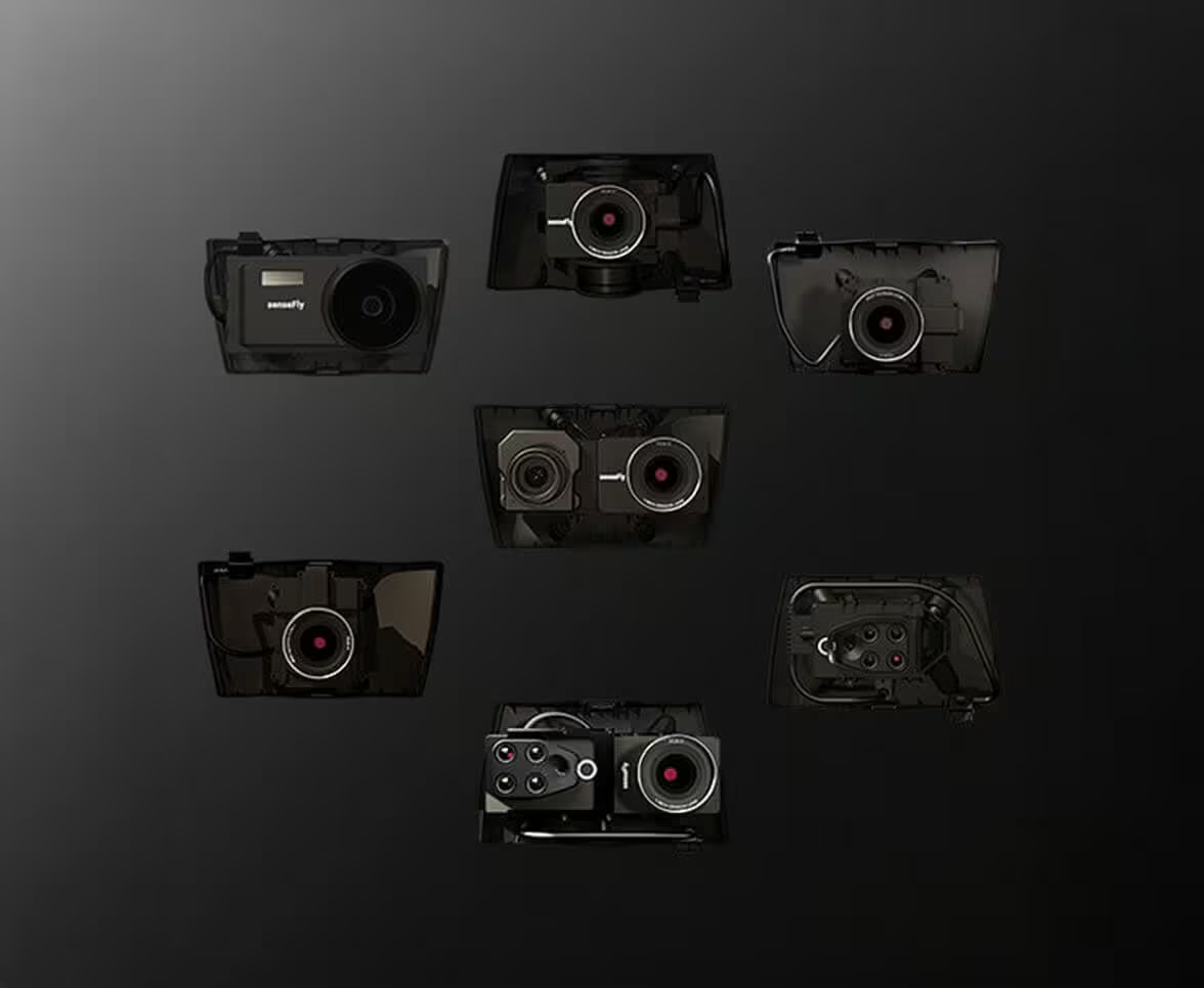
3D, RGB, multispectral and thermal cameras
eBee X is compatible with a wide range of interchangeable photogrammetry cameras that capture reliable aerial imagery – from 3D models to orthomosaics – to suit every mapping job.
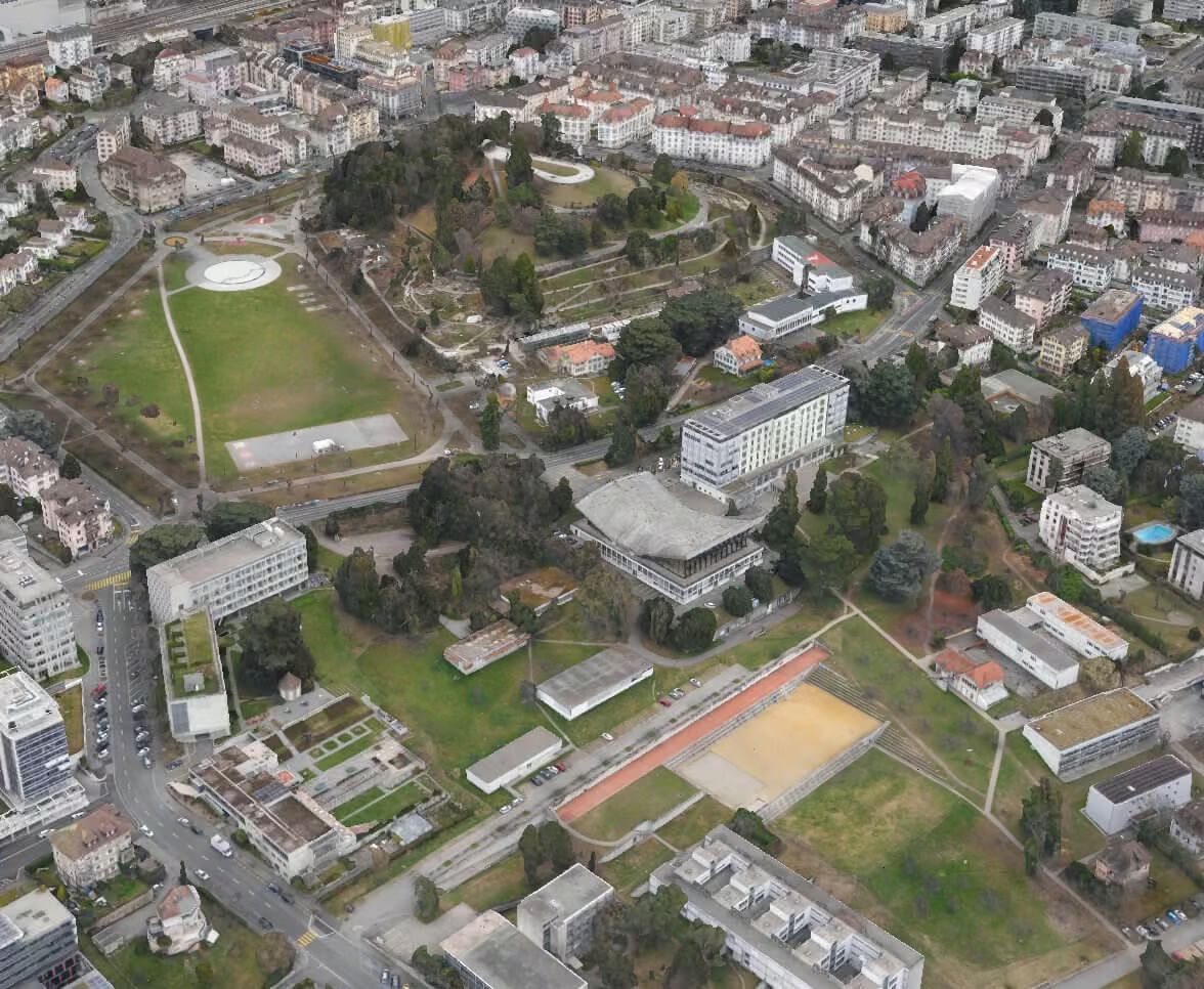
Efficiently map up to 500 ha / 1,235 ac while flying at 120 m / 400 ft eBee X flight time of up to 90 min* makes it the perfect drone for covering large areas.
*With endurance battery and S.O.D.A. camera.
1.5 cm / 0.6 in absolute accuracy
With the on-demand RTK / PPK capabilities of survey drone eBee X, you can gather data without ground control points (GCPs) while maintaining a GSD down to 1.5 cm / 0.6 in.
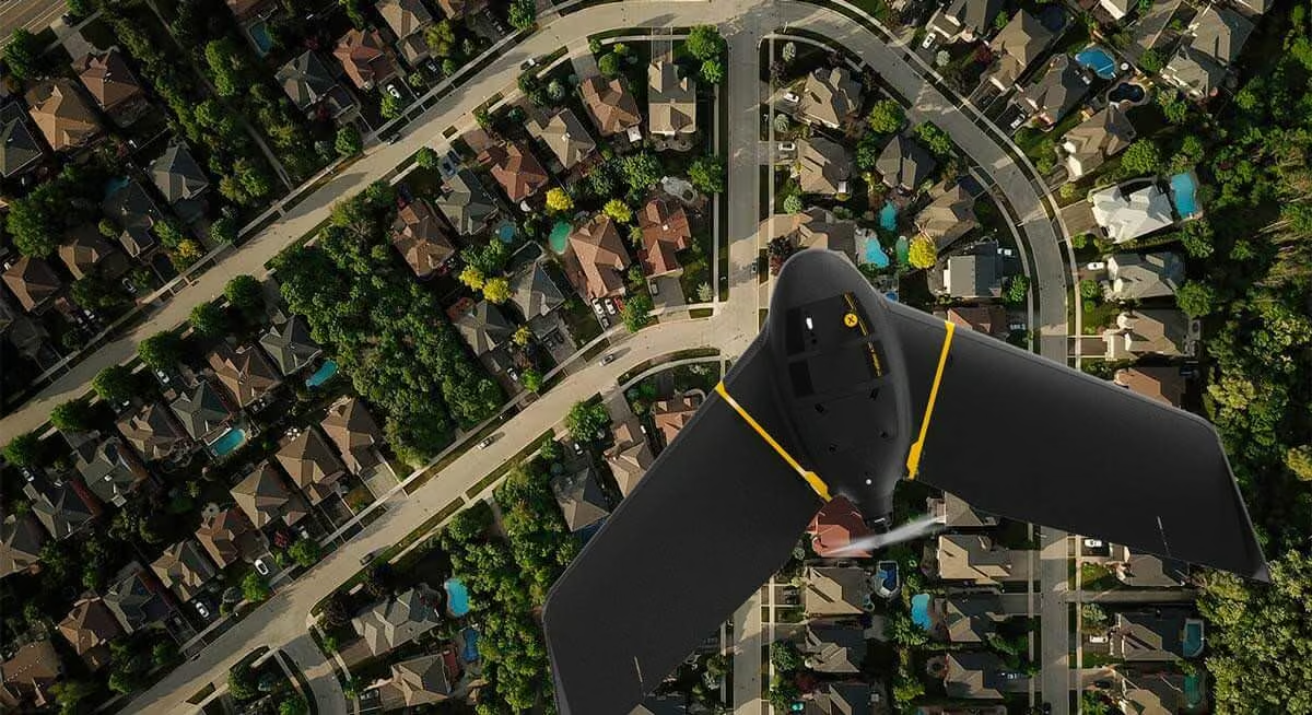
1.6 kg / 3.6 lbs takeoff weight
Operate safely within more regulatory frameworks thanks to the eBee X’s light weight, which extends your operational possibilities – BVLOS and flights over people – and range.
eBee X has the best ratio energy / MTOW compared to heavier VTOLs.

Remote ID, C2 and C6
We’ve prepared for U.S. and European drone regulations with eBee X, featuring built-in FAA-approved Remote ID and EU C2 and C6 labeling.
Regulatory advantages & Advanced Operations
eBee X operators benefit from regulatory advantages not available to drones above 2 kg / 4.4 lbs, as the surveying platform meets the highest quality and ground risk safety standards while its lightweight design helps reduce the effects of ground impact.
Safety As a Priority
Safety is embedded into every aspect of the eBee X platform. From its impact-tested design and absence of rigid front components to intelligent flight planning software with integrated fail-safe protocols and live air traffic awareness, each element is engineered to support responsible and secure operations around people and in shared airspace.
Need a Quote?
We’ll Call You
Simply enter your contact details and one of our specialists will call you to discuss your requirements and provide a detailed quotation.
Need a Quote?
We’ll Call You
Simply enter your contact details and one of our specialists will call you to discuss your requirements and provide a detailed quotation.
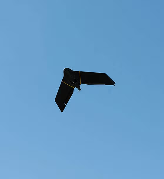
Successful impact tests to demonstrate operational safety around people.
Free from hard front plastic parts and rear-facing motor.
Flight planning software integrates fail-safe protocols and live air traffic.
Increase the quality, efficiency and safety of your data collection
eBee X operators benefit from regulatory advantages not available to drones above 2 kg / 4.4 lbs, as the surveying platform meets the highest quality and ground risk safety standards while its lightweight design helps reduce the effects of ground impact.
Easy to use
The eBee X and its eMotion flight planning software are beginner-friendly, yet packed with advanced features to tackle the toughest jobs. Definitely a smarter way to map.

Easy hand-launch
Designed to restart the mission as soon as the drone lands and to be simply hand-launched.
3 minutes deploy
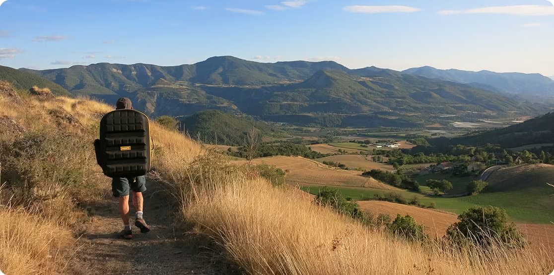
Operated by one user and easily transported in a backpack with all your gear in one spot.
Automated flight
Automated flight and landing with eMotion mission planning software, which is included.
Less time spent on site
Efficiency is crucial for every mapping project. By using the eBee X aerial photogrammetry drone, you can get the precision you need in a fraction of the required time compared to terrestrial methods or other drones, such as quadcopters.
Need a Quote?
We’ll Call You
Simply enter your contact details and one of our specialists will call you to discuss your requirements and provide a detailed quotation.
Need a Quote?
We’ll Call You
Simply enter your contact details and one of our specialists will call you to discuss your requirements and provide a detailed quotation.
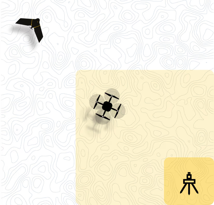
eBee X drone
-
500 ha / 1,235 ac*
-
2.9 cm / 1.14 in per pixel
*Free from hard front plastic parts and rear-facing motor.
Multicopter drones
-
Up to 40 ha / 99 ac
-
3.6 cm / 1.41 in per pixel
Terrestrial tools
-
8 ha / 19 ac
Purpose-built storage for efficient field deployment
Safely store and transport everything you need to operate your eBee X in the included backpack.
The ergonomic drone backpack comes with a rain cover and a laptop pocket. It weighs 4.6 kg / 10 lbs empty and 10 kg / 22 lbs when fully loaded.
Operate in harsh terrain
The eBee X is designed for continuous belly landings without damaging the drone.
Our R&D engineers have created a shock absorbent construction UAS with an underbelly made of reinforced polypropylene woven mesh, able to operate in harsh terrain.
Reduce downtime and maintenance costs
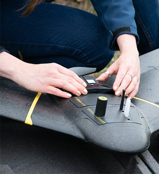
eBee X’s modular design reduces both delays and repairs.
Swap out accessories or make in-field repairs with ease, minimizing downtime.
Maintenance is also easy thanks to our global network of authorized service centers, where you can get your eBee X professional drone serviced locally.
Drone Cameras Available For eBee X
Choosing the right mapping camera for the proper mission plays a big part. eBee X versatile design suits every job thanks to its range of groundbreaking and interchangeable mapping drone sensors.
Need a Quote?
We’ll Call You
Simply enter your contact details and one of our specialists will call you to discuss your requirements and provide a detailed quotation.
Need a Quote?
We’ll Call You
Simply enter your contact details and one of our specialists will call you to discuss your requirements and provide a detailed quotation.

S.O.D.A. 3D

Aeria X

S.O.D.A.

Corridor

Duet M
See the eBee X in Action
Explore how the eBee X performs in real-world environments through video demonstrations and field footage. See its flight capabilities, deployment process and data capture performance in action.
Related Images


Need a Quote?
We’ll Call You
Simply enter your contact details and one of our specialists will call you to discuss your requirements and provide a detailed quotation.
-
Corridor
The Corridor is a combined S.O.D.A. and eMotion software solution that makes corridor mapping easy. -
S.O.D.A.
The S.O.D.A. is the first photogrammetry camera to be built for professional drone use and has quickly become the reference sensor in its field. -
Duet M
The Duet M is an innovative dual-purpose RGB and multispectral mapping camera rig. -
Aeria X
This rugged innovation offers the perfect blend of size, weight and DSLR-like image quality. It offers stunning image detail and clarity, in virtually all light conditions. -
S.O.D.A. 3D
The S.O.D.A. 3D mapping camera is a professional drone photogrammetry camera that changes orientation during flight.