Corridor
Portrait-oriented camera for optimized linear mapping
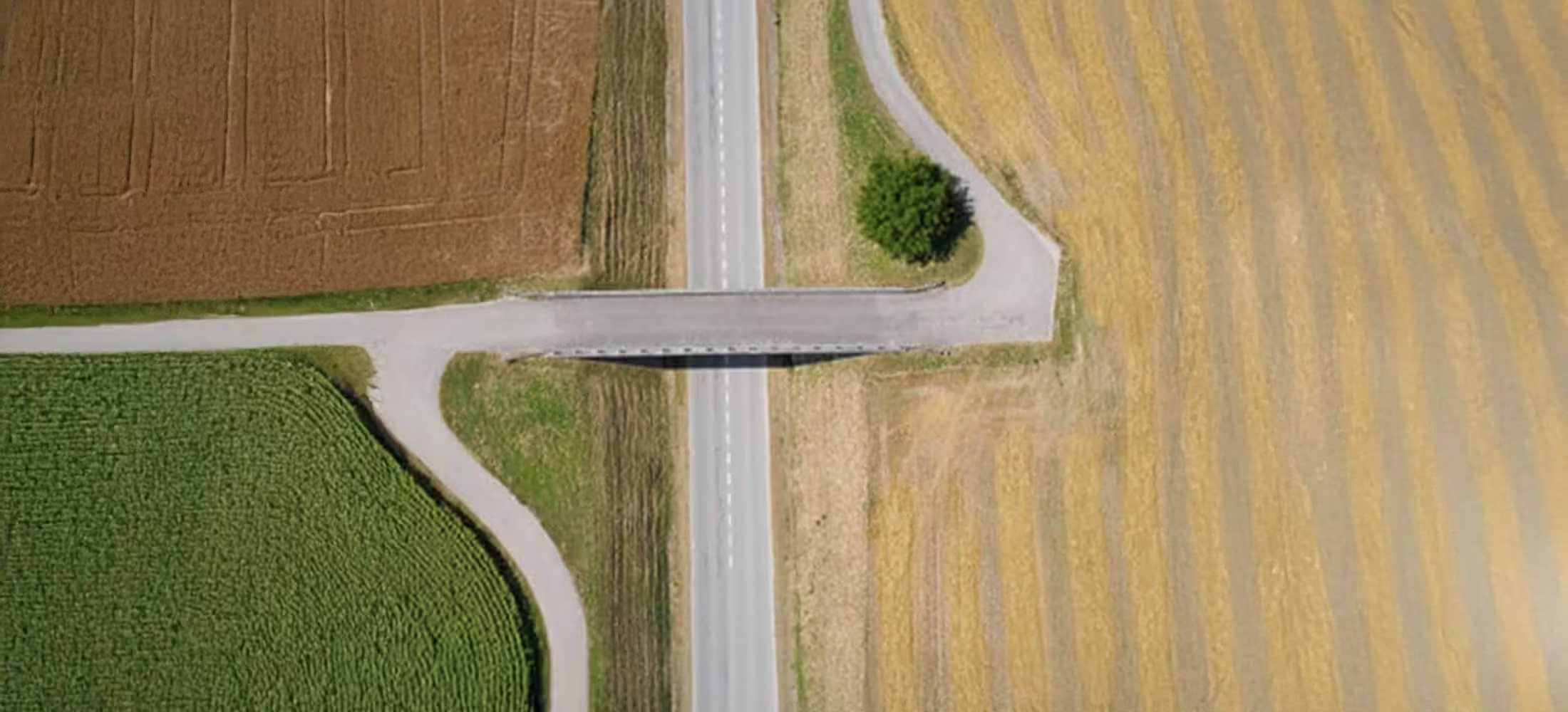
The Corridor is a combined S.O.D.A. and eMotion software solution that makes corridor mapping easy. With its portrait camera position, it requires 30% fewer images to map the same linear route. This also means 30% shorter image processing times after your flight.
Need a Quote?
We’ll Call You
Simply enter your contact details and one of our specialists will call you to discuss your requirements and provide a detailed quotation.
Need a Quote?
We’ll Call You
Simply enter your contact details and one of our specialists will call you to discuss your requirements and provide a detailed quotation.

Designed for precision, built for speed
With its portrait camera position, Corridor requires 30% fewer images to map the same linear route. This, in turn, means 30% shorter processing times. Ideal applications include:
-
Road construction
-
River mapping
-
Coastline mapping
-
Train track planification
-
Pipeline inspection
Achieve higher ground resolutions
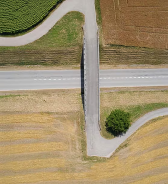
A vertical camera position lets you fly closer to the ground while still achieving the image overlaps your digital outputs require. The result is lower ground resolutions down to 1.5 cm / 0.6 in per pixel.
Easier linear mapping
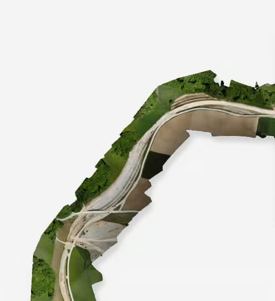
eMotion’s corridor mapping mission block makes linear mapping jobs easier than with any other solution.
See the Corridor in Action
See how the Corridor camera simplifies linear surveying with fewer images and faster processing, capturing high-resolution data along extended routes with efficiency and precision.
Related Images


Need a Quote?
We’ll Call You
Simply enter your contact details and one of our specialists will call you to discuss your requirements and provide a detailed quotation.
-

S.O.D.A.
The S.O.D.A. is the first photogrammetry camera to be built for professional drone use and has quickly become the reference sensor in its field. -

Duet M
The Duet M is an innovative dual-purpose RGB and multispectral mapping camera rig. -

Aeria X
This rugged innovation offers the perfect blend of size, weight and DSLR-like image quality. It offers stunning image detail and clarity, in virtually all light conditions. -

S.O.D.A. 3D
The S.O.D.A. 3D mapping camera is a professional drone photogrammetry camera that changes orientation during flight. -
eBee X
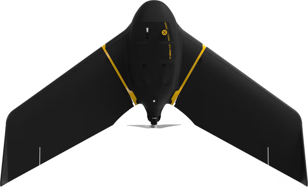
eBee X offers 90-minute flights, RTK, PPK, online training, eMotion flight planning software, and more.