C-ALS® HD
Need a Quote?
We’ll Call You
Simply enter your contact details and one of our specialists will call you to discuss your requirements and provide a detailed quotation.

High-Definition Visual Clarity and Control
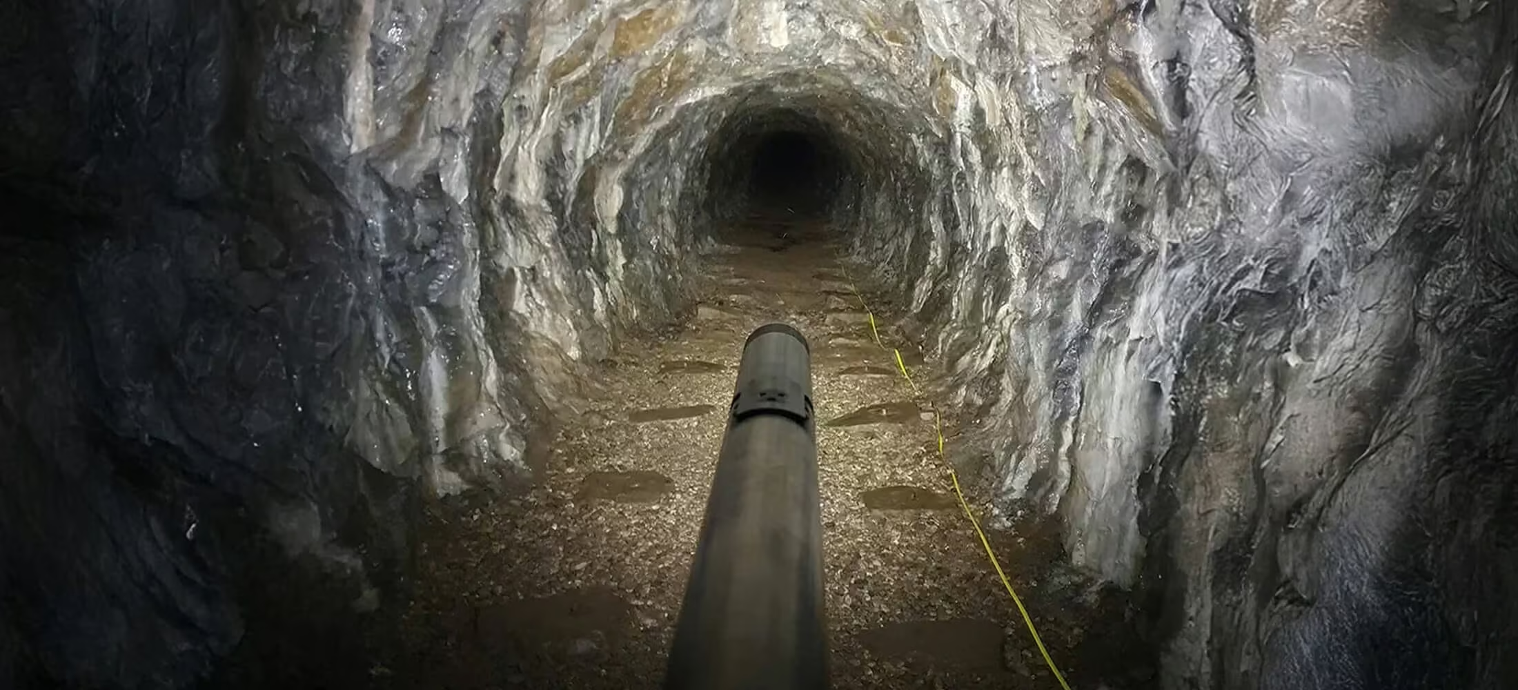
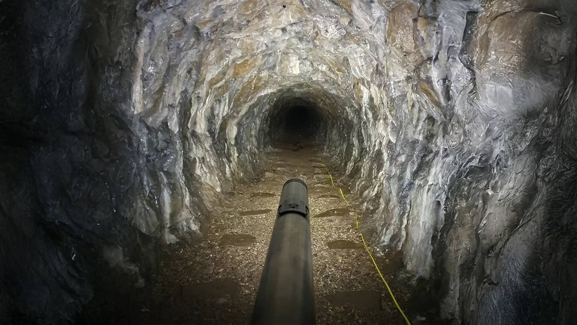
The C-ALS HD integrates a full HD 1920 x 1080 camera for capturing detailed photos and video in challenging environments. Enhanced joystick control within Carlson Scan software allows precise nosecone movement for accurate positioning. A slip ring drum system ensures faster, controlled cable deployment, while the powerful 874-lumen daylight payload delivers clear visibility with up to 25 metres line of sight for improved inspection confidence.
Precision Imaging for Subsurface Inspections
High-definition Underground Visualization
Experience a new level of clarity and detail with the C-ALS HD’s integrated high-definition camera.
Its exceptional imaging capabilities allow for comprehensive visual inspections of inaccessible underground areas.
Identify potential hazards, structural issues, and areas of concern with unparalleled precision, ensuring enhanced safety and efficiency.
The LED spot light provides 874-lumens of up to 25 m extended visual distance.
Un-matched Underground Laser Scanning Accuracy
Need a Quote?
We’ll Call You
Simply enter your contact details and one of our specialists will call you to discuss your requirements and provide a detailed quotation.
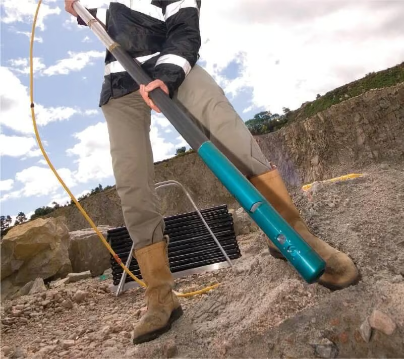
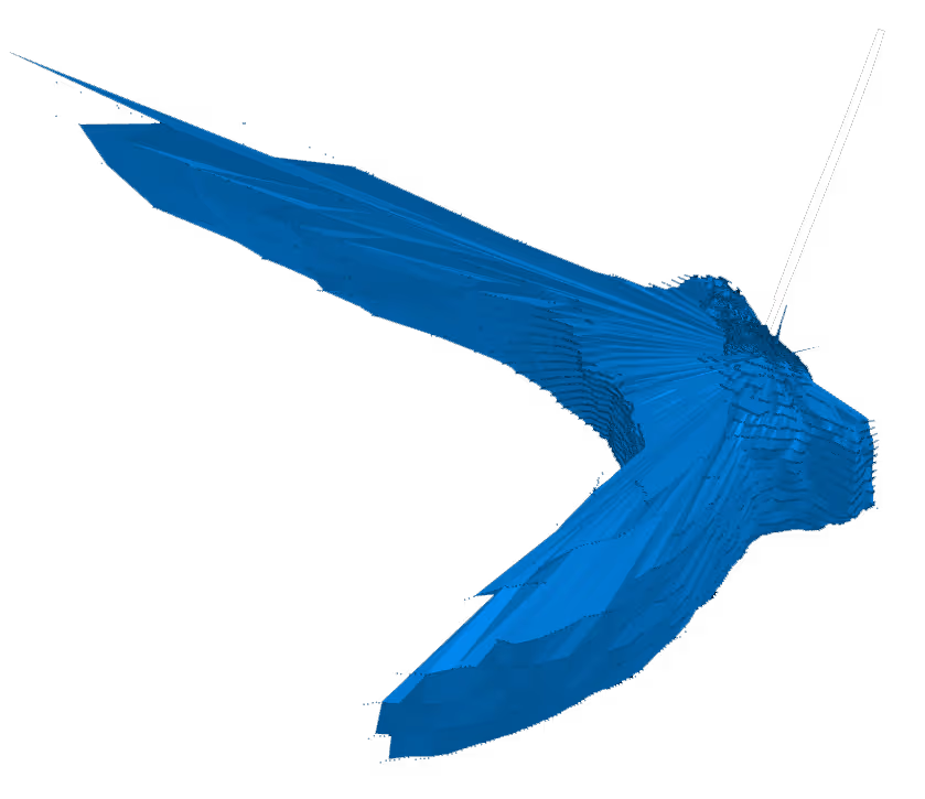
The C-ALS HD is the solution for underground laser scanning. Expanding on the existing and widely used features of the C-ALS Gyro, the C-ALS HD captures precise data in even the most challenging environments. The system includes new deployment options such as the slip ring drum to simplify and speed up deployment. This system delivers the accuracy you need with 360-degree scanning coverage to inspect, collect, and make informed decisions.
Stare into the Void with Carlson Scan
Carlson Scan is the included, Windows-based, operational software for the C-ALS HD.
The software features a simplistic user interface with expansive capability for your underground project. The software offers a real-time, high-definition view of the deployment to spot obstructions and monitor deployment in underground environments.
Carlson Scan includes digital joystick controls for the C-ALS HD once it has entered the void. With the joystick controls, users have free movement of the C-ALS head to visually identify and analyze potential hazards, structural issues, or areas of concern.
See the C-ALS® HD in Action
Watch how the C-ALS HD captures detailed underground data and high-definition visuals to support safer inspections and more informed decision-making in challenging environments.
Related Images


Need a Quote?
We’ll Call You
Simply enter your contact details and one of our specialists will call you to discuss your requirements and provide a detailed quotation.
-

Boretrak 3
The Boretrak®3 borehole deviation measurement system is a simple-to-use, gyro-based system for measuring the deviation of boreholes at any drill hole operation. -

FiX1
The Fixed Installation Scanner (FiX1) from Carlson provides a simple, automated method for obtaining volumetric results of stockpiles in many different applications. -

Quarryman Pro
Using Carlson‘s Quarryman Pro rock-profiling and laser-scanning system not only improves site safety, it also gives you the data to make decisions that increase productivity. -

3D Void Scanner+
The 3D void scanner is a specialised, ruggedised instrument that uses time-of-flight laser measurement to map the shape, position and spatial location of underground voids.