Boretrak 3
Accurately measure boreholes at any inclination
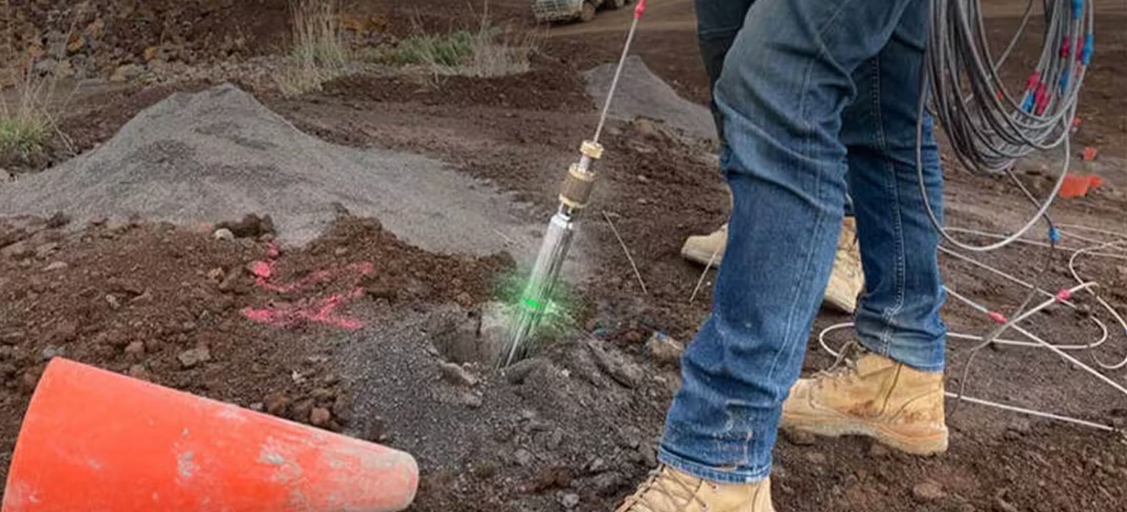
The Boretrak®3 borehole deviation measurement system is a simple-to-use, gyro-based system for measuring the deviation of boreholes at any drill hole operation such as underground mines, on the surface, in quarries, open-pit operations, and civil works.
Need a Quote?
We’ll Call You
Simply enter your contact details and one of our specialists will call you to discuss your requirements and provide a detailed quotation.

Deploy and Measure at Any Inclination with Full 360° Capability!
As a successor to the widely used Boretrak2, the fundamental capabilities of the Boretrak3 are backed by over 35 years of in-the-field history. The Boretrak3 combines this experience into a single, all-purpose unit capable of measuring boreholes in any inclination: down, up or horizontal.
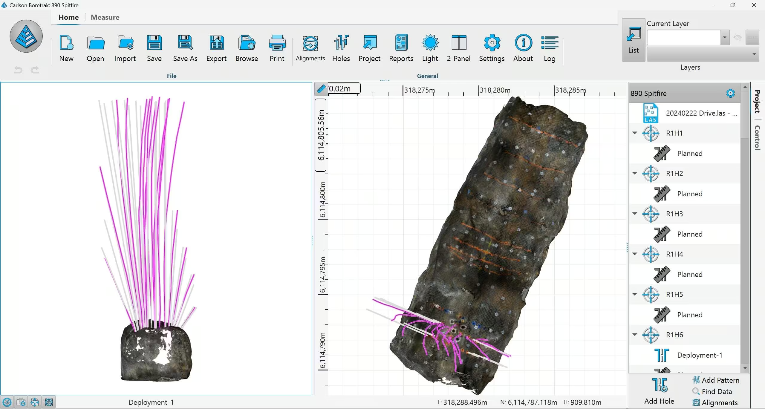
Together with Carlson Boretrak software, the Boretrak3 provides a simple to use system for checking the accuracy of drilled holes and their deviation from design.
Accurate Orientation and Intelligent Data Output
The Boretrak3 uses a precision gyro-based IMU to deliver reliable borehole deviation measurements in any inclination. With automatic calibration safeguards and live heading tracking, it maintains accuracy throughout deployment. Survey data is instantly visualized in 3D, 2D, or tabular formats, and can be exported to industry-standard design and blast planning software, enabling seamless analysis, reporting, and integration into existing workflows
Need a Quote?
We’ll Call You
Simply enter your contact details and one of our specialists will call you to discuss your requirements and provide a detailed quotation.
Gyro-based Solution
The Boretrak3 utilizes a miniature inertial measurement unit (IMU) which contains a triaxial accelerometer, magnetometer, and gyro. Prior to deployment, the probe is calibrated against a known orientation on a supplied jig. This establishes a starting reference azimuth for the gyro. The gyro provides the Boretrak3 with an accurate, live heading which is tracked as the probe is deployed along the borehole. If the Boretrak3 gyro loses calibration while inside the hole, it will automatically use the compass reading to apply a calibration.
Display and Outputs
All data from surveyed holes is immediately displayed, in 3D graphical mode, 2D schematic mode, or in tabular formats.
Back in the office, data can be transferred onto Carlson Boretrak running on your desktop or laptop PC for further analysis. Survey data from the Boretrak3 can be exported seamlessly to other Carlson packages such as BlastOPS using the DRL format. Other formats such as DXF and CSV can be used to export to third party CAD and blast design packages.
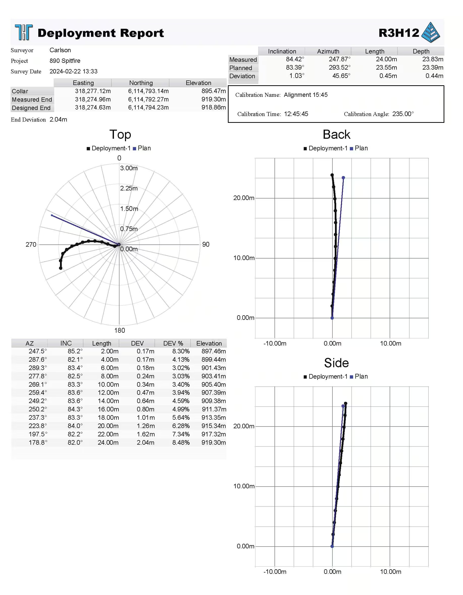
Reports can be generated for each hole, showing all data in plan, front, side or 3D views, together with tabular data outlining each reading during a deployment.
Why Borehole Deviation Happens and Why a Borehole Deviation Survey System Matters
Borehole deviation isn’t a rare occurrence. A borehole deviation survey system helps address this challenge by providing accurate data on the actual path of the borehole. Whether it’s the experience of the driller, the quality of the equipment, the angle drilled or the local geology, boreholes frequently deviate from their intended path.
In the past, there was no easy way to measure deviation. Mechanical methods lacked accuracy, and produced too little data to be mapped against the drilling plan to enable a comparison.
As a result, even today some mine and quarry managers will proceed to blast on the basis of the drilling plan, rather than the drilling results. And those responsible for engineering and geotechnical works will proceed on the assumption that holes are straight, encountering costly delays later in the project.
The Benefits of Boretrak 3
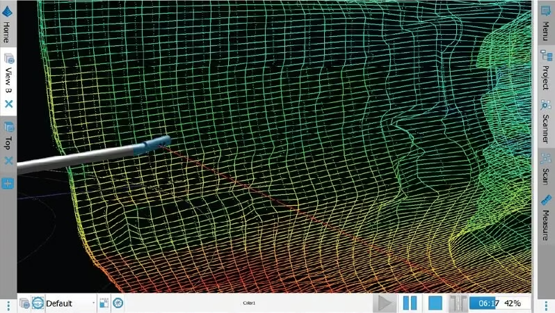
Carlson’s Boretrak 3 is designed to help you complete a range of drilling-related projects more quickly and efficiently, by giving you the data you need to make on-site decisions quickly and without the need to employ surveyors or other costly personnel.
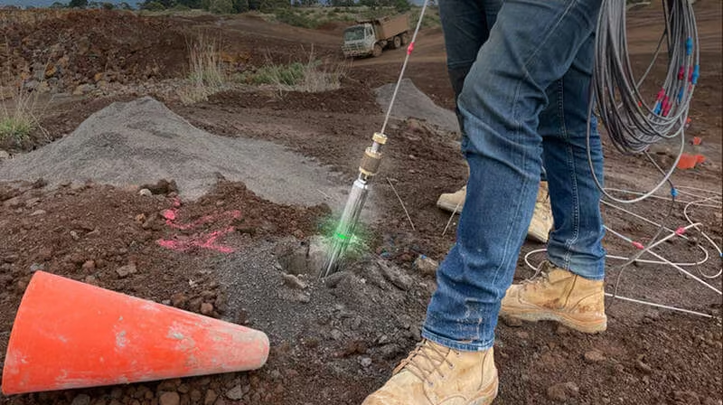
Improved Safety
-
Accurately measure borehole deviation and effectively use the data to plan projects safely and in compliance with auditing requirements
-
Record and visualize 3D data on drilling activity from ground level or underground site
-
Comply with quarrying legislation–Avoid the potential risks and costs associated with blasting from deviated or un-surveyed boreholes
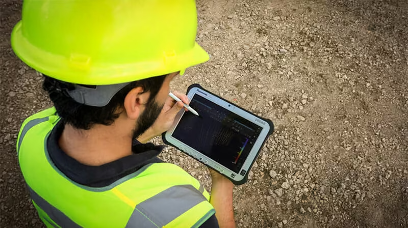
Increased Blasting & Workforce Efficiency
-
Optimizes blasting and engineering works by easily creating detailed maps of drilling activity
-
Reduces the need for large teams with entire drilling sites able to be measured and modelled in hours
-
Portable, lightweight, and hand-deployable, the system is designed to be used by a single operator
-
Checks drilled holes and produces in-the-field reports in minutes
-
On-site drilling operations become data-led with no guesswork and knowledge gaps
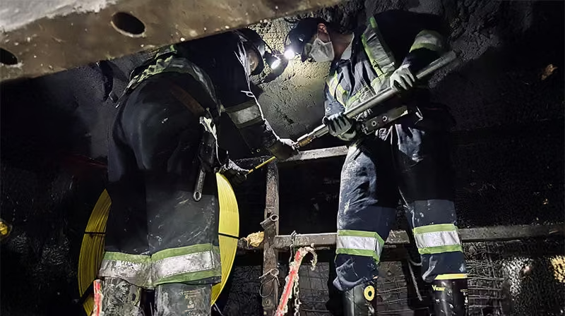
Works Reliably in Extreme Environments
-
Designed for the rugged mining and quarrying environments – harsh weather, muddy holes, extreme temperatures, and ruggedized treatment
-
Have confidence that the system will last for years, giving accurate and reliable data in the toughest conditions
-
Capable of operating in areas of magnetic interference and in flooded holes
Carlson Boretrak Software
Need a Quote?
We’ll Call You
Simply enter your contact details and one of our specialists will call you to discuss your requirements and provide a detailed quotation.
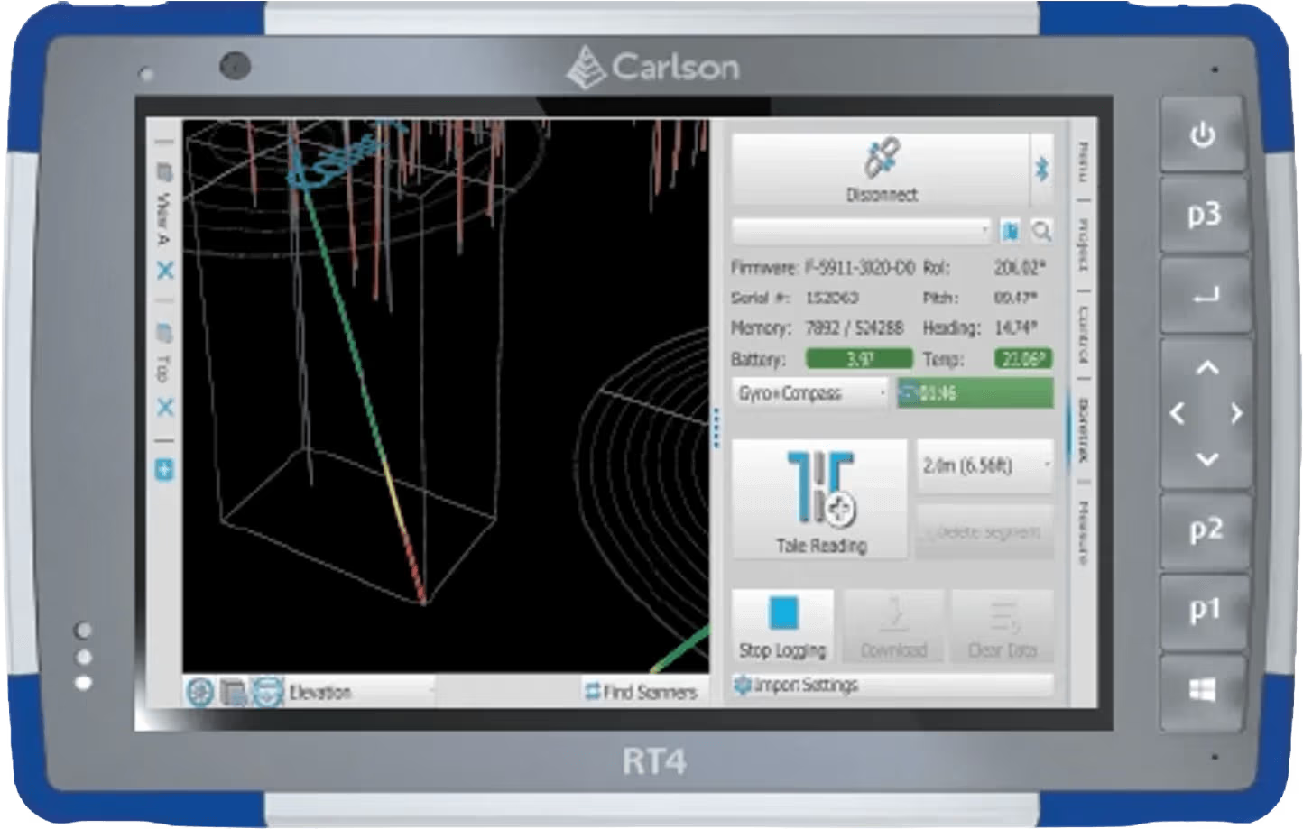
An Android mobile device or Windows-based tablet are used to run the Carlson Boretrak software which controls the Boretrak2 operation.
The Carlson Boretrak software can be used to set up the project, import hole coordinates, setup design holes, and import third-party data to form a background to the collected Boretrak3 data.
A Bluetooth connection between the probe and mobile device allows setup and calibration prior to the deployment and also synchs the clocks on the probe and the mobile device.
See the Boretrak 3 in Action
Explore the Boretrak 3 through detailed imagery and product video that highlight its design, functionality, and field performance.

Related Images


Need a Quote?
We’ll Call You
Simply enter your contact details and one of our specialists will call you to discuss your requirements and provide a detailed quotation.
-

FiX1
The Fixed Installation Scanner (FiX1) from Carlson provides a simple, automated method for obtaining volumetric results of stockpiles in many different applications. -

Quarryman Pro
Using Carlson‘s Quarryman Pro rock-profiling and laser-scanning system not only improves site safety, it also gives you the data to make decisions that increase productivity. -

3D Void Scanner+
The 3D void scanner is a specialised, ruggedised instrument that uses time-of-flight laser measurement to map the shape, position and spatial location of underground voids.