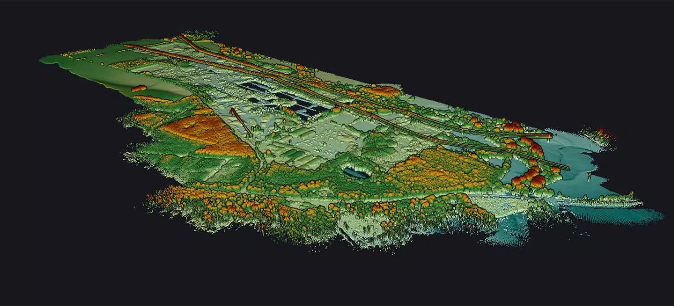
Qube 640
Powerful LiDAR sensor
Not just limited to productivity gains, the Qube 640 sensor excels in precision and accuracy. Enhanced vegetation penetration reveals intricate details of foliage and trunks with unmatched clarity. Vertical scanning applications are effortlessly facilitated, thanks to the new IMU which minimizes outer edge mismatches, ensuring precise data collection every time. Furthermore, the integration of an 8MP RGB camera allows for simultaneous LiDAR capture and colorization during flight, streamlining data acquisition and enhancing the visual interpretation of your scans.
Need a Quote?
We’ll Call You
Simply enter your contact details and one of our specialists will call you to discuss your requirements and provide a detailed quotation.
Need a Quote?
We’ll Call You
Simply enter your contact details and one of our specialists will call you to discuss your requirements and provide a detailed quotation.

Qube 640 LiDAR Engineered for High-Efficiency Aerial Mapping
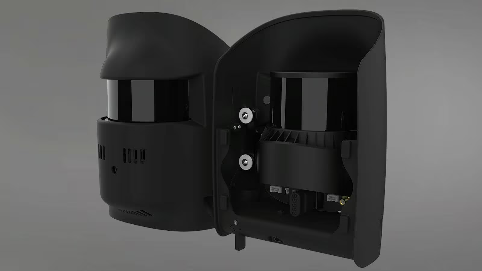
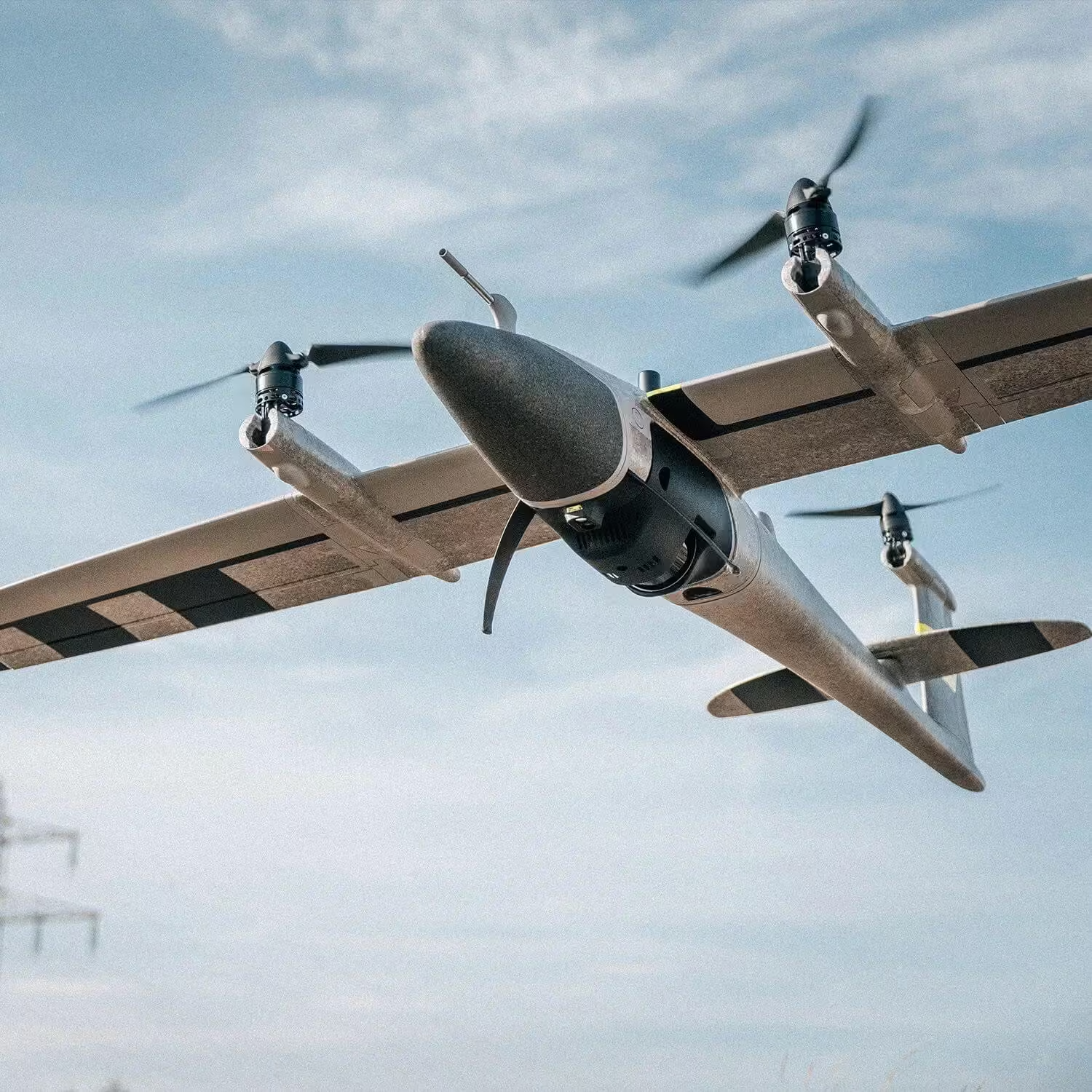
The Qube 640 LiDAR Scanner has been designed in collaboration with YellowScan specifically for Trinity Pro and Tactical drones, this specialized sensor revolutionizes aerial data collection. With a selectable FOV of up to 176°, it offers unparalleled versatility for capturing expansive landscapes and detailed structures.
With a selectable FOV of up to 176°, it offers unparalleled versatility for capturing expansive landscapes and detailed structures.
With Trinity’s advanced capabilities, the Qube 640 empowers users to achieve remarkable efficiency. Experience seamless corridor scanning spanning up to 32 km in a single flight, a feat previously unimaginable. At 120° FOV, productivity skyrockets by 50% compared to its predecessor, ensuring maximum output with minimal effort.
Flight Altitude
Flight Speed
Area
Flight Time
Technical Specification of the Qube 640 LiDAR Scanner
The Qube 640 LiDAR Scanner is engineered to deliver high-density point cloud data with exceptional accuracy and efficiency. Its wide field of view, high pulse repetition rate, and multi-echo capability enable detailed terrain and structure capture, even in complex environments. Designed for professional surveying and mapping applications, the system generates substantial data output per second to support precise modeling, analysis, and decision-making workflows.
See the Qube 640 in Action
Explore real-world deployment footage and data previews showcasing the Qube 640’s performance in the field. See how it captures dense, high-precision point clouds across complex terrains and large-scale environments with efficiency and reliability.
Related Images


Need a Quote?
We’ll Call You
Simply enter your contact details and one of our specialists will call you to discuss your requirements and provide a detailed quotation.
-
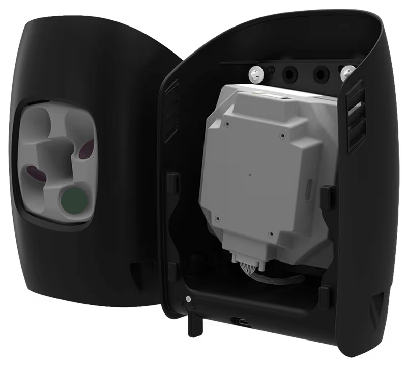
Oblique D2M
The Oblique D2M is a powerful oblique imaging system consisting of five high-resolution multi-directional cameras, making it the ideal tool for large scale 3D photogrammetry. -

Phase One P5
The Phase One P5 is the world’s first purpose-built engineering survey grade camera for UAVs. -

Sony ILX LR1
The SONY ILX-LR1 camera, with its cutting-edge high-accuracy capabilities and expansive coverage. -

QBase 3D
QBase 3D is the most convenient platform to plan aerial survey missions with Quantum-Systems UAS. -

Trinity Pro
The Trinity Pro is designed to adapt to changing requirements, evolve in capabilities, and accelerate decision making through aerial data.