QBase 3D
Easy planning with just a few clicks
QBase 3D is the most convenient platform to plan aerial survey missions with Quantum-Systems UAS.
Need a Quote?
We’ll Call You
Simply enter your contact details and one of our specialists will call you to discuss your requirements and provide a detailed quotation.
Need a Quote?
We’ll Call You
Simply enter your contact details and one of our specialists will call you to discuss your requirements and provide a detailed quotation.

Mission Planning. Flight Monitoring. Data Post-Processing.
QBase 3D is part of the overall Trinity Pro package and can be operated intuitively and safely with no training required. QBase 3D efficiently generates precise and safe flight paths, saving valuable time for the operator, and produces reliable data for the operator for post- mission analysis.
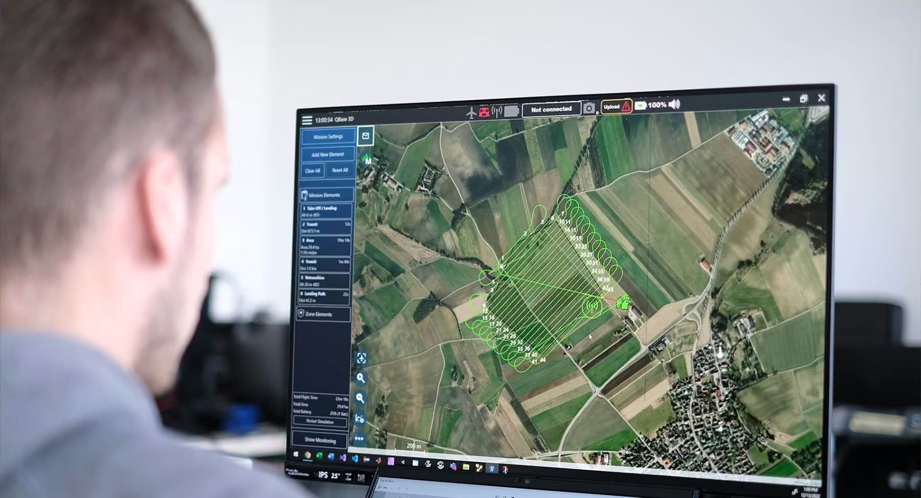
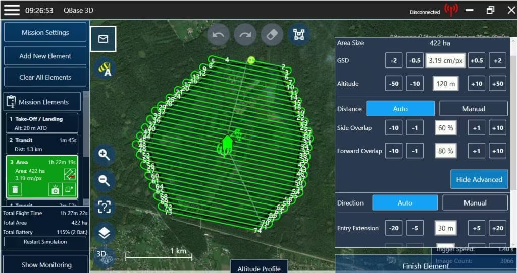
It automatically generates efficient flight paths after the observation areas and the mission parameters have been defined with just a few clicks. This allows the operator to be up and flying within no-time, saving valuable resources. For advanced missions, the pilot is in complete control over the photogrammetric aerial survey mission and can adjust all relevant parameters to generate professional and optimum results.
During flight mode, QBase 3D provides accurate information on aircraft and mission status to ensure flight safety and mission success.
After mission completion, QBase 3D enables processing of the captured images, precision enhancement with the built-in PPK solution and export of all metadata to file formats suitable for a variety of platforms for further post-processing.
The most convenient software solution to plan surveying tasks with Quantum-Systems UAVs.
QBase 3D brings planning, execution, and data handling into one streamlined environment built specifically for Quantum-Systems UAVs. It reduces operational complexity, increases mission reliability, and helps teams work more efficiently in the field and in the office. By combining intelligent automation with precise control, the software ensures consistent results while saving time across the entire surveying workflow.
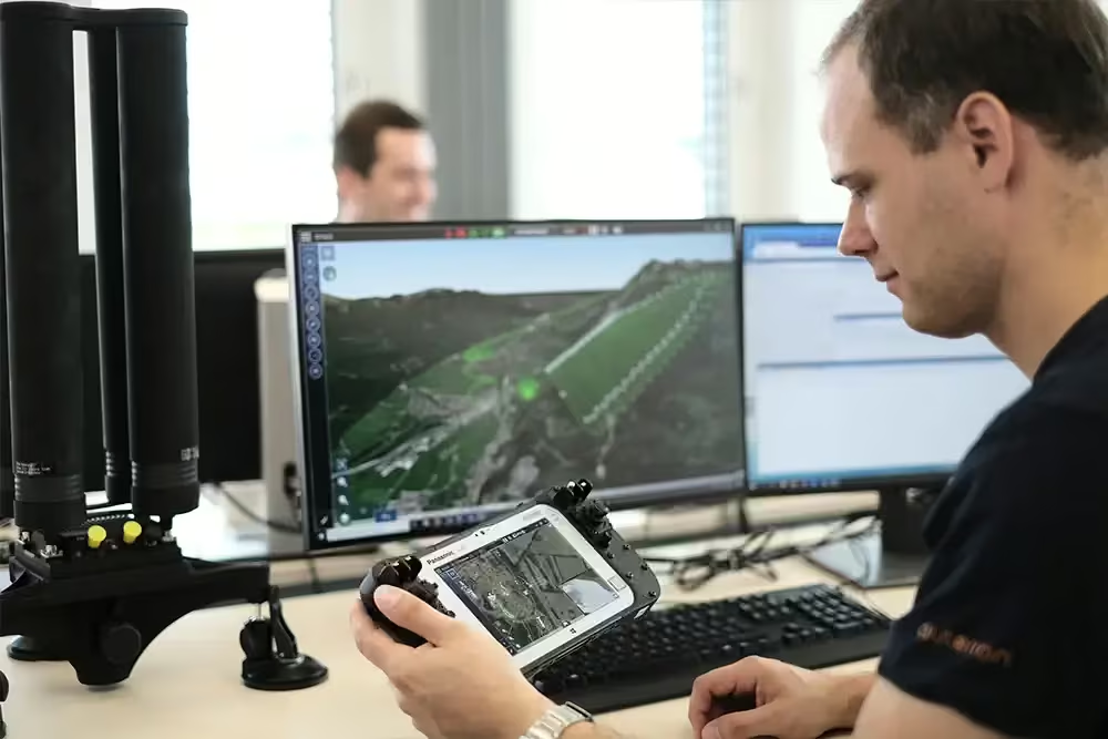
How to plan a mission
Quantum-System UAVs combined with QBase 3D help surveyors, farmers, scientists, quarrymen, civil engineers and geologists to focus on their application.
Need a Quote?
We’ll Call You
Simply enter your contact details and one of our specialists will call you to discuss your requirements and provide a detailed quotation.
Technical Requirements for Optimal Performance
QBase 3D is optimized to run efficiently on standard Windows-based systems while benefiting from higher-performance hardware configurations. Ensuring your device meets the recommended specifications will provide smoother 3D visualization, faster processing, and a more responsive mission planning experience, particularly when handling complex terrain data and large survey projects.
| Operation Systems | Windows 10 64bit |
| CPU | 2.5 Ghz Dual Core (Quad Core or higher recommended) |
| System Memory | min. 2 GB |
| Free Disk Space | 500MB (SSD drive recommended) |
| Display | 24-bit-color depth |
| Resolution | 1600 x 900 or higher at 96 dpi |
| GPU | Integrated graphics card (256 MB ram is recommended) (Dedicated NVIDIA, AMD and Intel GPUs are recommended and supported) |
See the QBase 3D in Action
Discover how QBase 3D performs in real-world surveying scenarios. Explore walkthrough videos and interface previews that demonstrate its intuitive workflow, advanced planning capabilities, and seamless integration with Quantum-Systems UAVs from mission setup to data delivery.
3d Areal Planning
The 3D area planning feature provides the automatic creation of flight plans in sloped and mountainous areas. It uses high resolution digital elevation data (e.g. SRTM) to create collision free and energy optimized trajectories for an optimal data quality result.
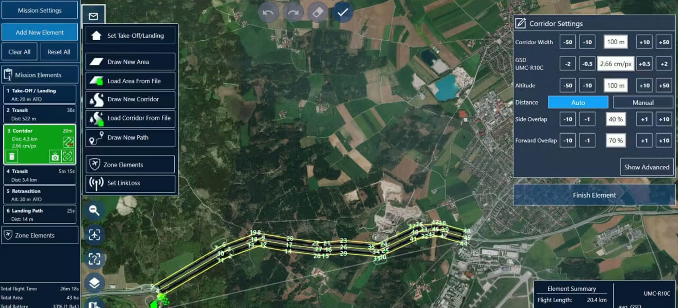
Corridor Planning
The corridor planning function creates optimized flight plans for mapping infrastructures like roads, railways and power lines. It optimizes the flight segments according to the terrain altitude as well as the camera characteristics.
Live Air Traffic
The ADS-B data of other aircraft can now be visualized in QBase to preserve the UAV operator‘s situational awareness. Furthermore, QBase performs a risk and collision assessment and offers operator support to prevent collisions. These features enable safe BVLOS flights and missions within controlled airspaces.
Related Images




Need a Quote?
We’ll Call You
Simply enter your contact details and one of our specialists will call you to discuss your requirements and provide a detailed quotation.
-
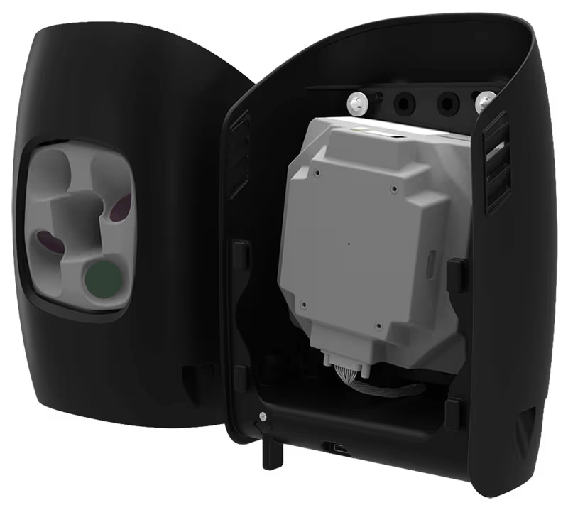
Oblique D2M
The Oblique D2M is a powerful oblique imaging system consisting of five high-resolution multi-directional cameras, making it the ideal tool for large scale 3D photogrammetry. -

Qube 640
Not just limited to productivity gains, the Qube 640 sensor excels in precision and accuracy. -

Phase One P5
The Phase One P5 is the world’s first purpose-built engineering survey grade camera for UAVs. -

Sony ILX LR1
The SONY ILX-LR1 camera, with its cutting-edge high-accuracy capabilities and expansive coverage. -

Trinity Pro
The Trinity Pro is designed to adapt to changing requirements, evolve in capabilities, and accelerate decision making through aerial data.