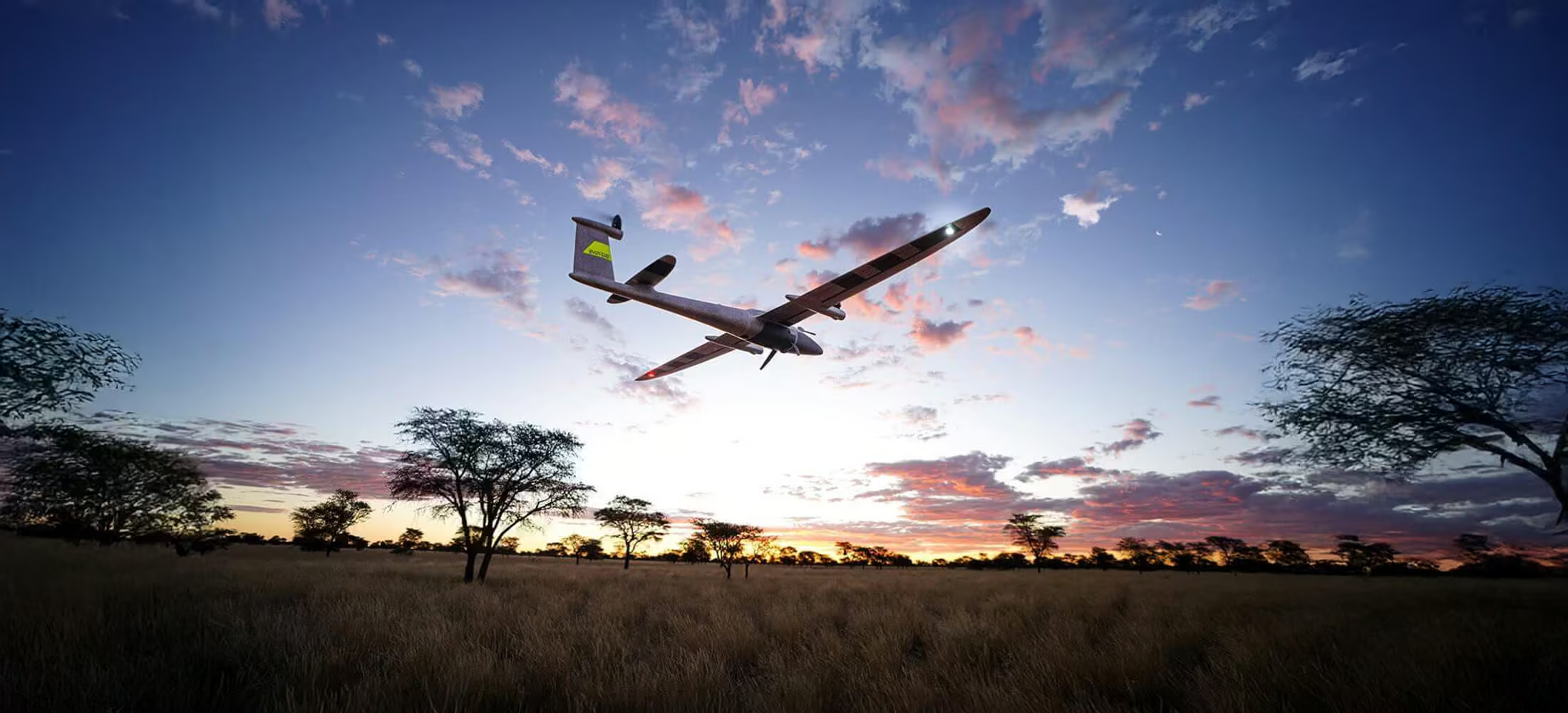
Trinity™ Pro
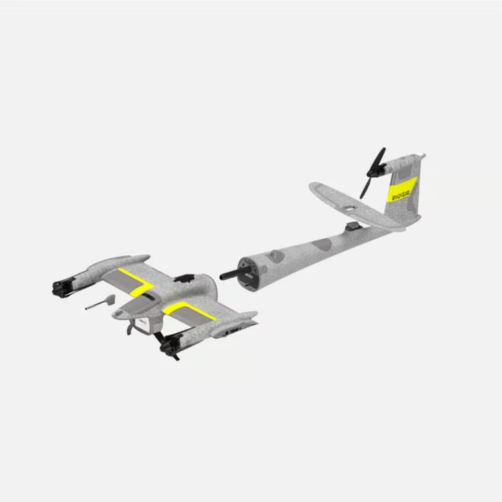
Next-generation eVTOL fixed-wing mapping drone
The Trinity Pro is designed to adapt to changing requirements, evolve in capabilities, and accelerate decision making through aerial data. Future integrations like AI capabilities give new insights and help professionals in various industries to make more informed decisions and drive their business forward.
Need a Quote?
We’ll Call You
Simply enter your contact details and one of our specialists will call you to discuss your requirements and provide a detailed quotation.
Need a Quote?
We’ll Call You
Simply enter your contact details and one of our specialists will call you to discuss your requirements and provide a detailed quotation.

A Future-Proof, Reliable and Easy To Use Mapping Solution
Trinity Pro is designed to adapt to changing requirements, evolve in capabilities, and accelerate decision making through aerial data. Future integrations like AI capabilities give new insights and help professionals in various industries to make more informed decisions and drive their business forward.
18 m/s
700 ha
4800 m
90 min
Expand your business opportunities with Trinity Pro
Trinity Pro is engineered to help organizations scale their aerial operations with confidence. By combining endurance, advanced onboard computing, and seamless system integration, it enables operators to take on larger projects, serve new industries, and deliver higher value data products.
Need a Quote?
We’ll Call You
Simply enter your contact details and one of our specialists will call you to discuss your requirements and provide a detailed quotation.
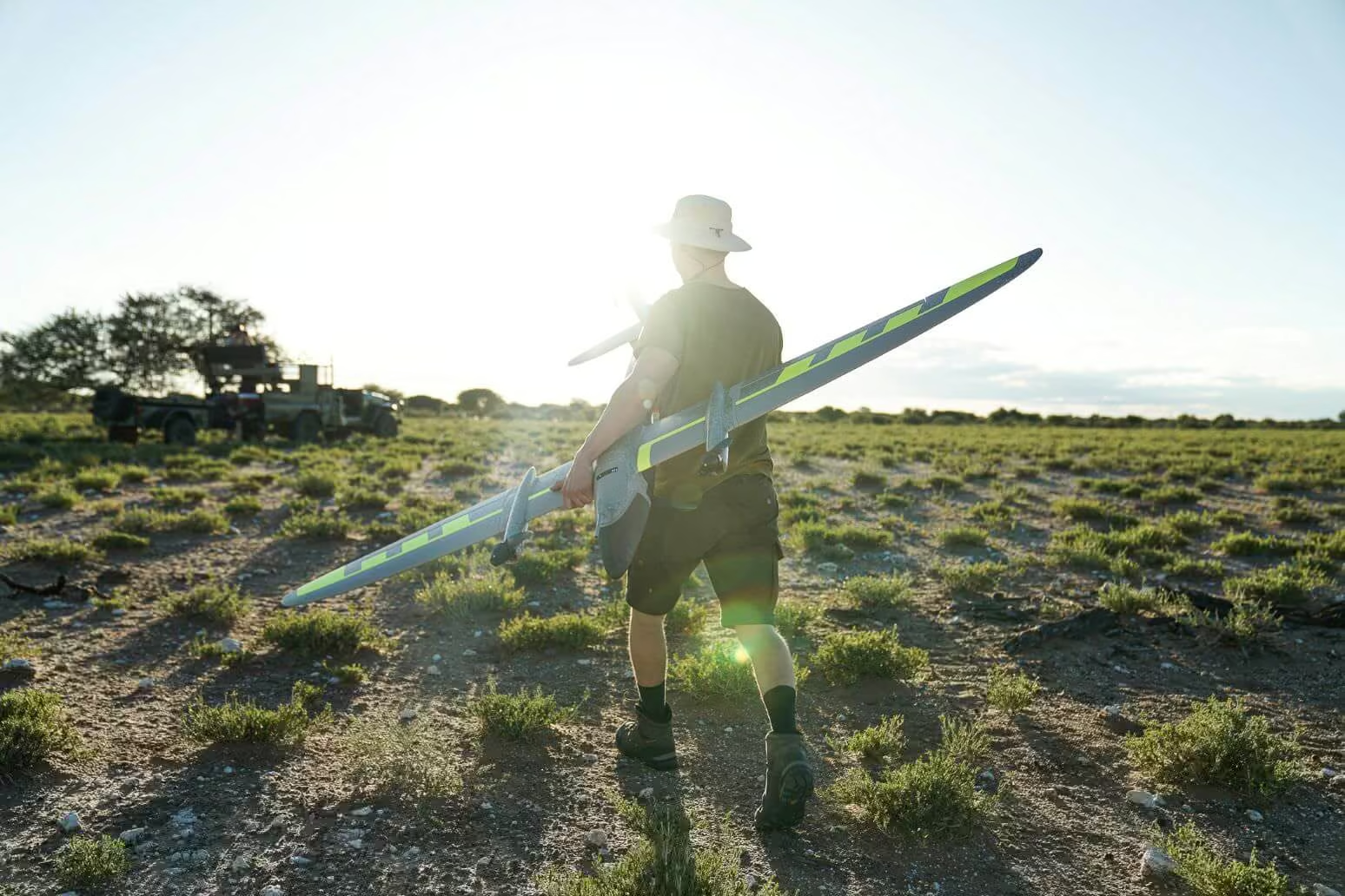
Designed to evolve
Add Trinity Pro to your portfolio and it will take you into the future. The platform has proven its performance, reliability and accuracy since market launch in 2018. The new Trinity Pro incorporates the latest technology including a new autopilot, making it ready for the future.
Need a Quote?
We’ll Call You
Simply enter your contact details and one of our specialists will call you to discuss your requirements and provide a detailed quotation.
Quantum-Skynode autopilot
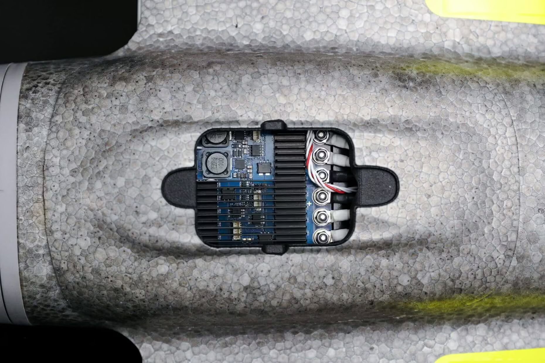
The new Quantum-Skynode autopilot brings computing power, increased internal storage and enhanced connectivity onboard the aircraft. Downstream integration of next generation cameras, AI capabilities and application specific software connections for better streamlined workflows becomes a simpler matter. New capabilities can be added as the technology evolves.
90 Minutes Flight Time
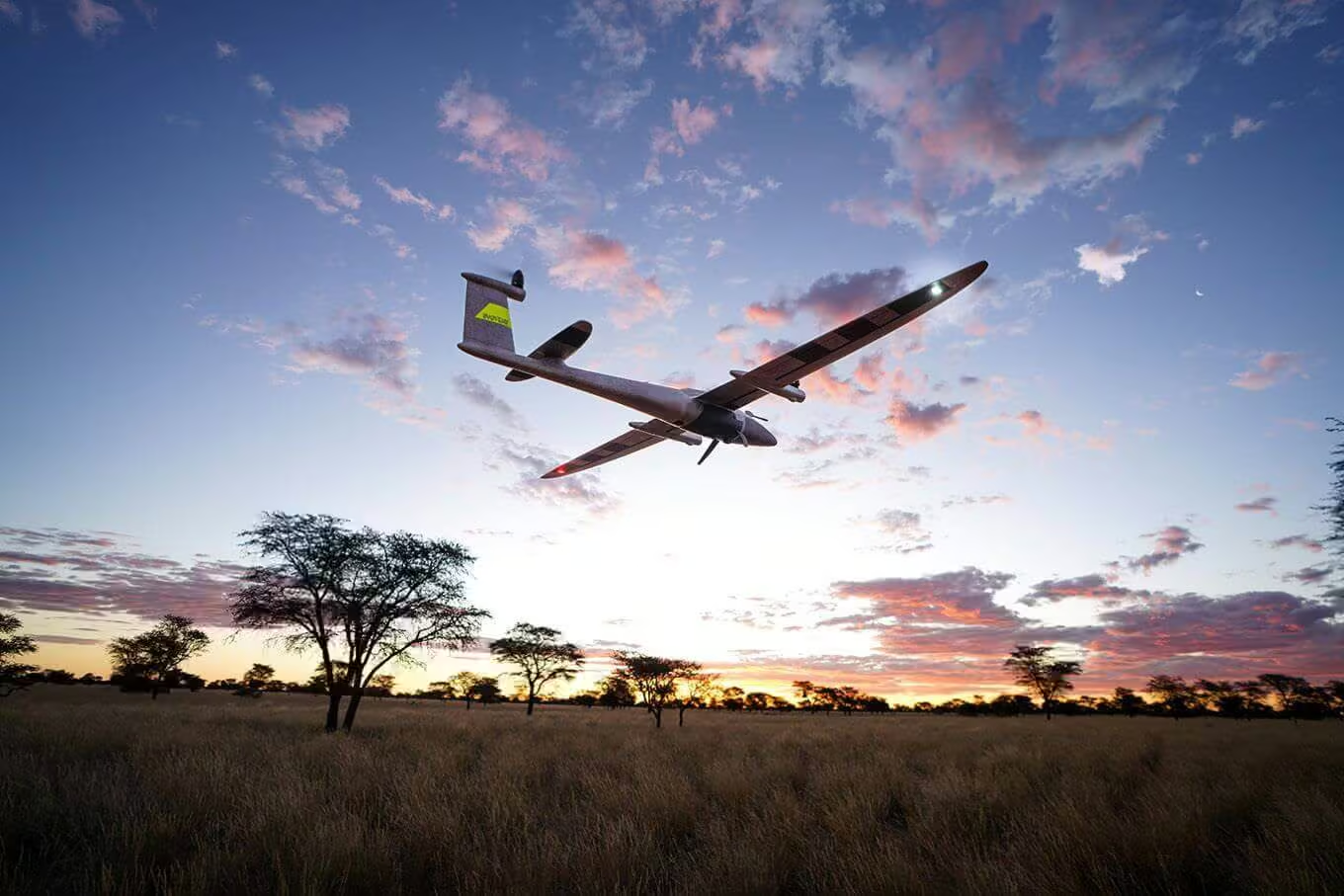
Due to its refined aerodynamics, the Trinity Pro uses less energy and achieves unmatched flight times of 90* minutes and longer. During flight, it can cover large areas (700 ha/ 1,730 acres) or long corridors (100 km/ 62 miles), making it the surveying tool of choice for a broad variety of applications.
*Subject to export regulation
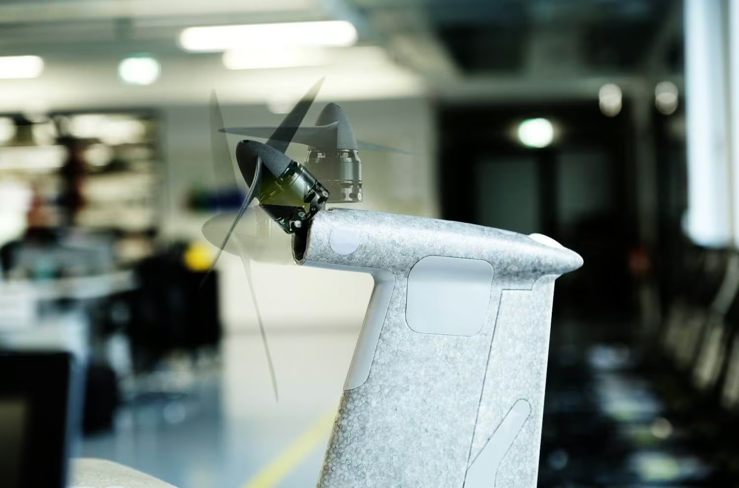
Advanced self-diagnostics
Extensive pre-flight checks and auto servo calibration give the user confidence in the system and little to worry about. Potential detected risks are reported during mission planning in QBase 3D and before take-off. This is reducing the risk of an adverse event during flight.
Easy-to-swap sensors
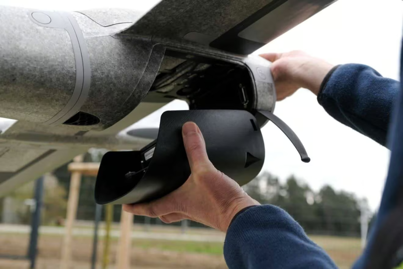
Trinity Pro comes with the largest choice of sensors, compared to other fixed-wing UAVs in the market. And they are very easy to swap. The Quantum Systems payload compartment allows for an easy swap of sensors within seconds using the quick-lock mechanism. The sensors are seamlessly integrated to support mission planning in QBase 3D, allowing frequent changes in the surveying application. Choose from RGB, Oblique, multispectral and even LiDAR.
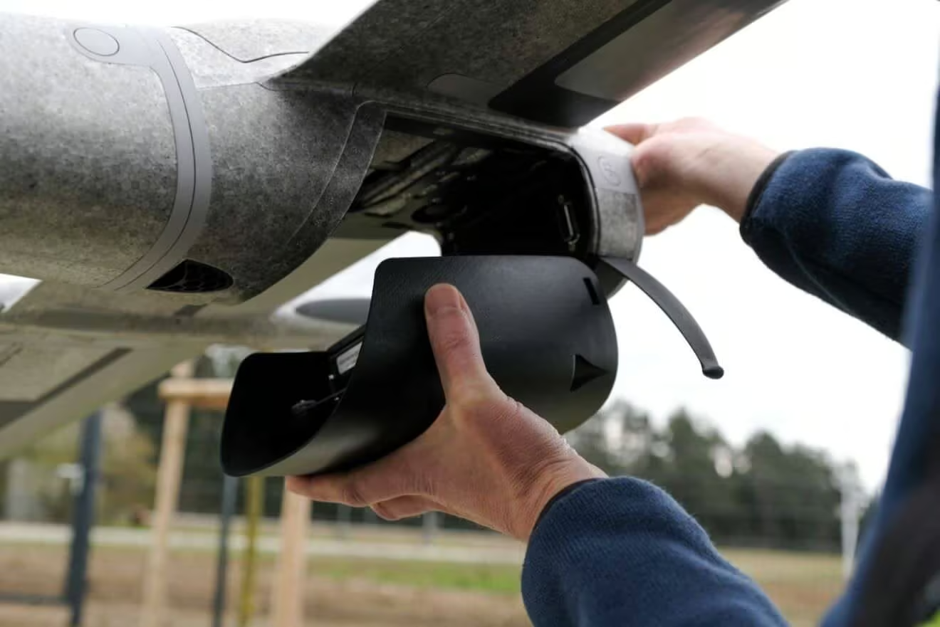
Drone-based LiDAR technology
Trinity Pro comes with the largest range of sensors in the industry, which are simply “plug and play”.
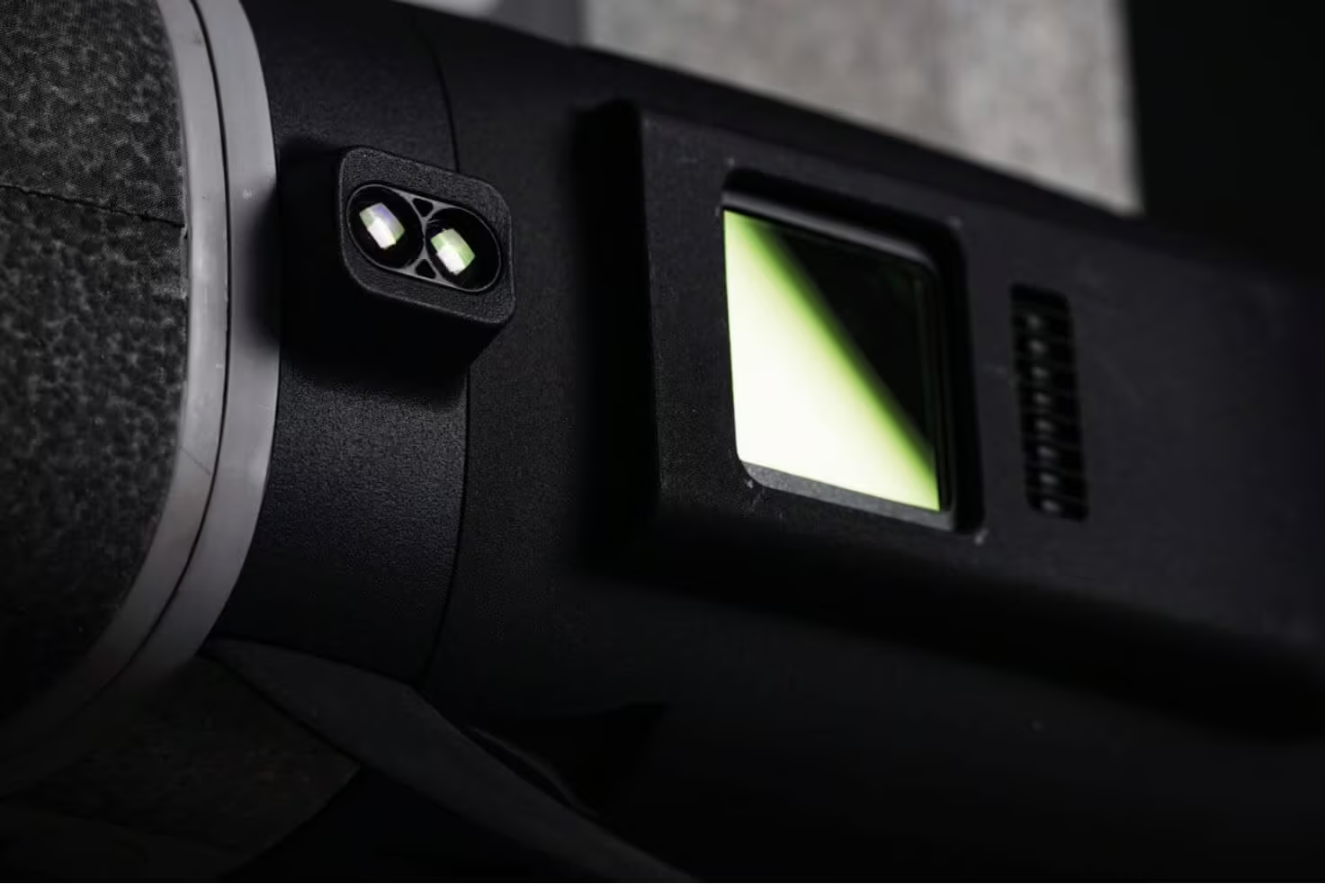
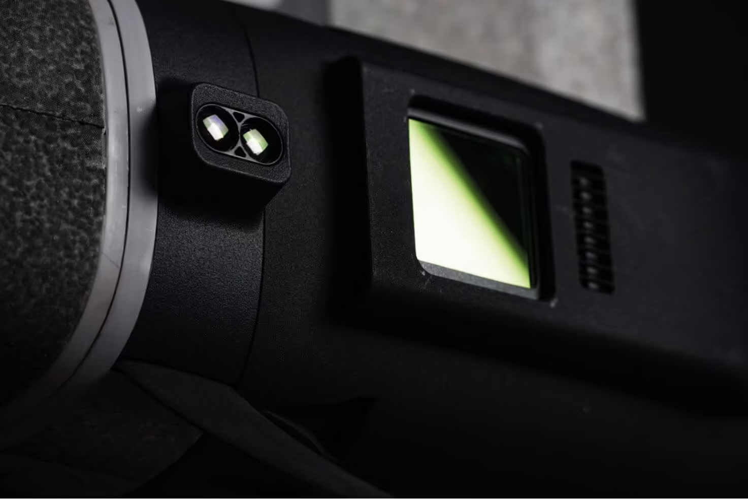
The Qube 240 LiDAR scanner was introduced in 2021, which has been transformative for the industry. The Qube 240 produces survey grade results, weighs only 930 grams, and can be easily mounted on the Trinity Pro.
PPK Included
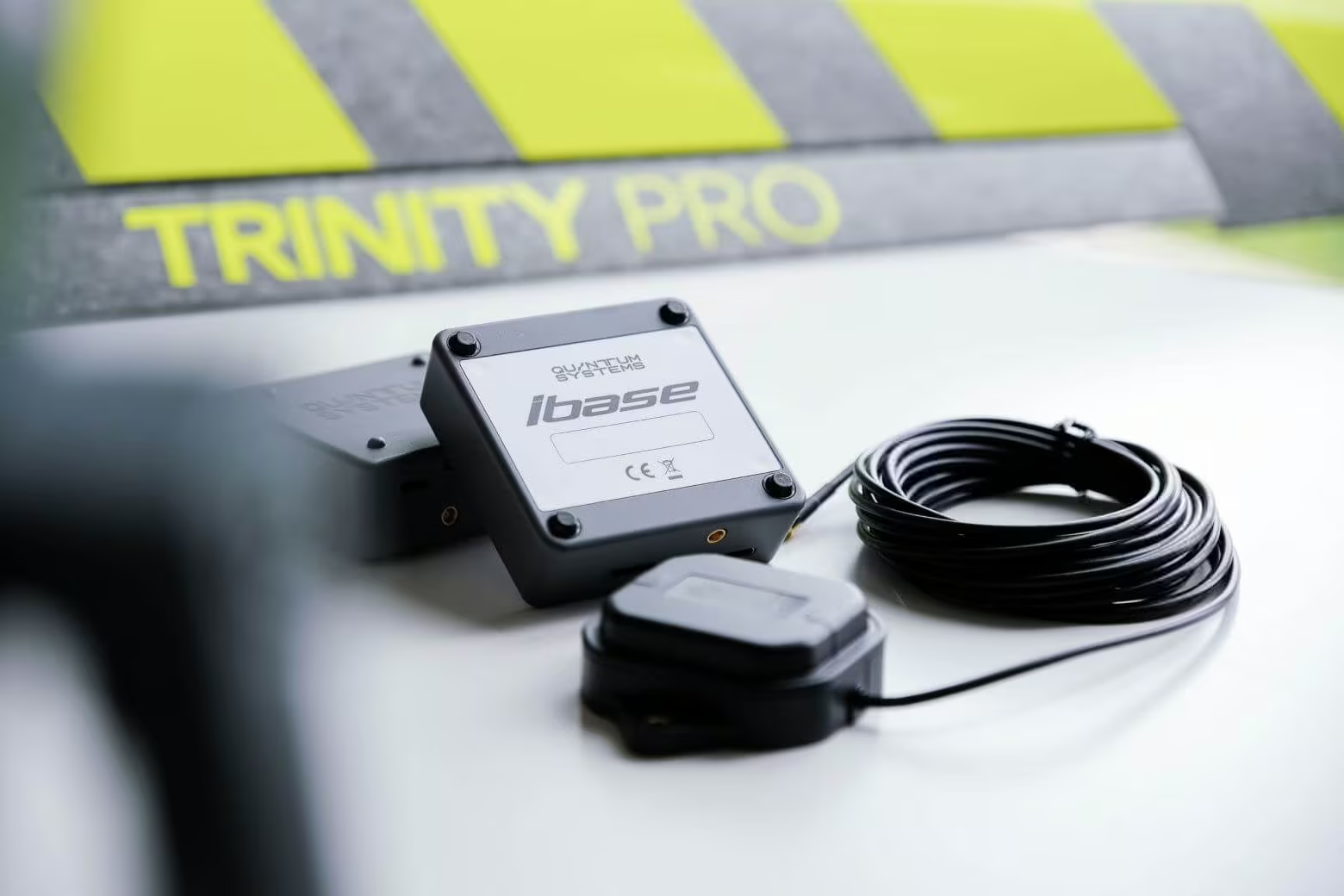
All Trinity Pro UAVs are equipped with an entry-level GNSS reference station, the Quantum Systems iBase. It automatically logs GNSS reference measurements on the ground to a file on a microSD card. The file enables the post processing software to do PPK processing of the data collected in-flight and drastically reduce the GNSS positioning errors.
Real corridor mapping
The QBase 3D software has been extended with additional features including the ability to take-of from and land in different locations (A/B missions). This is finally enabling true long corridor mapping and paving the way to BVLOS flights.
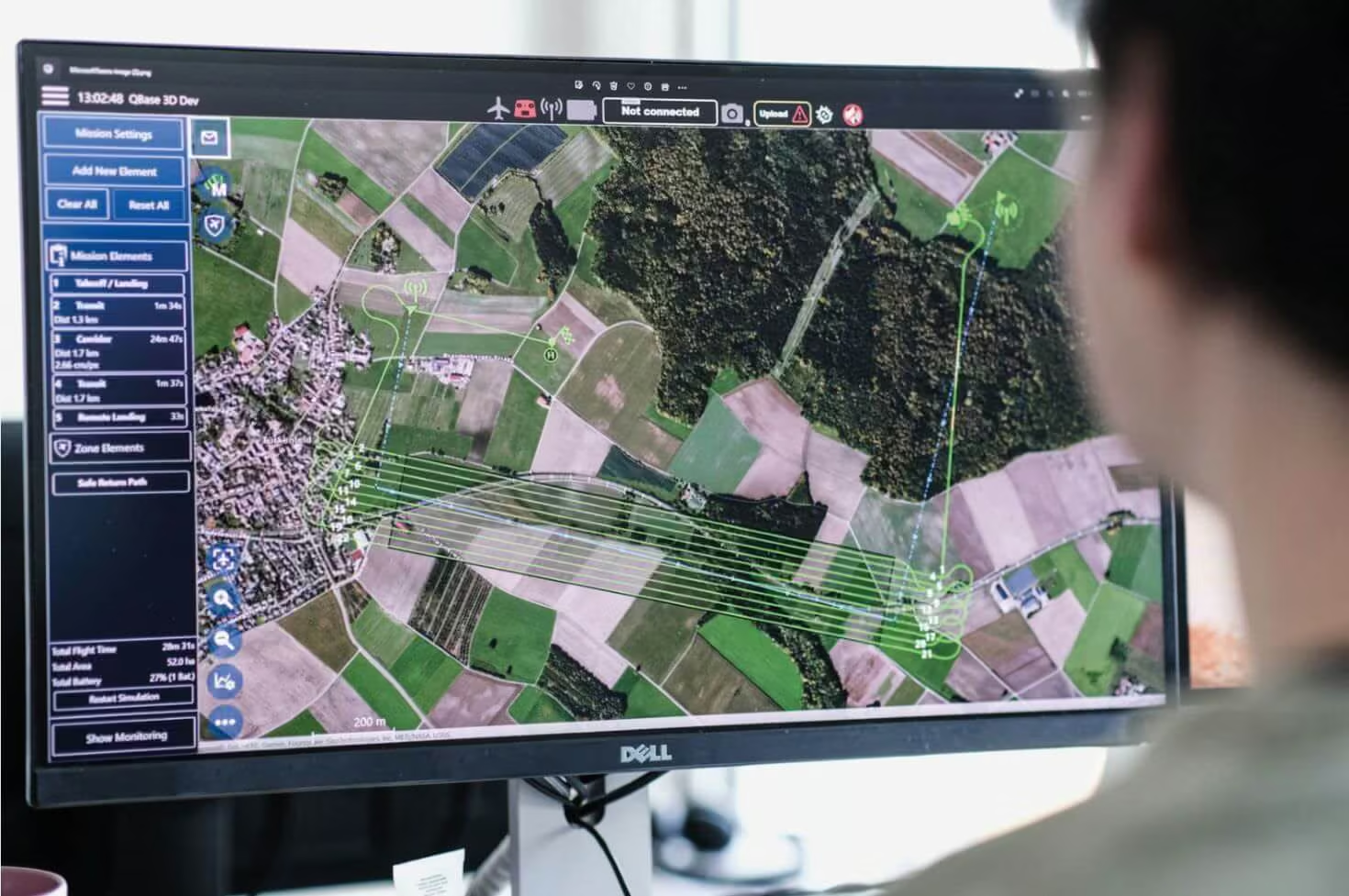
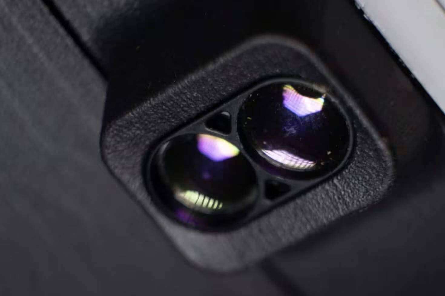
Advanced terrain avoidance
A down facing LiDAR allows for safe and BVLOS ready flight plans, including safe landings.
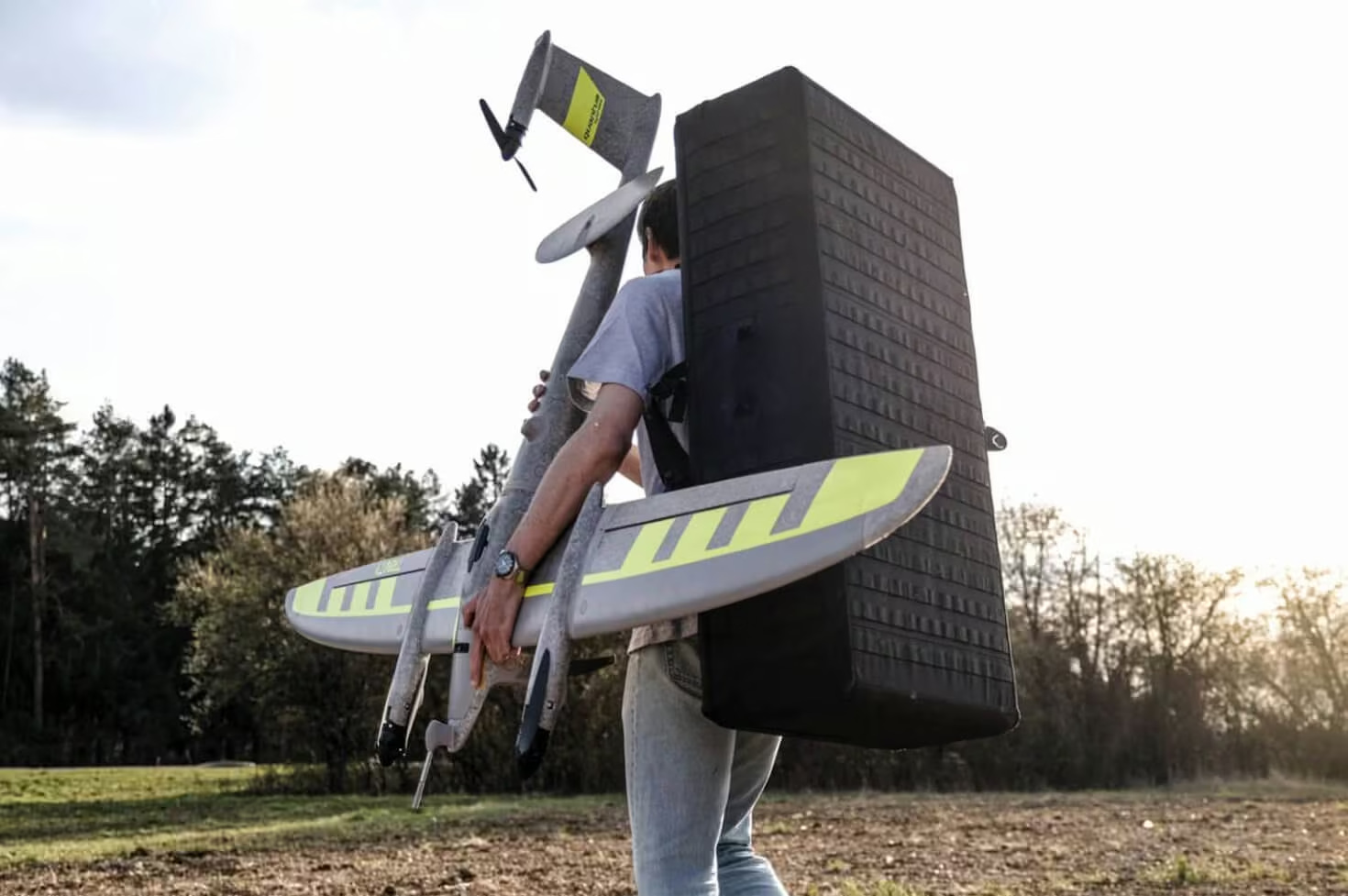
Backpack
An optional backpack is available for the secure transport and compact storage of the Trinity Pro. Designed for mobility in the field, it accommodates the aircraft and essential components in a streamlined pack format, making deployment easier while protecting the system during transit and storage.
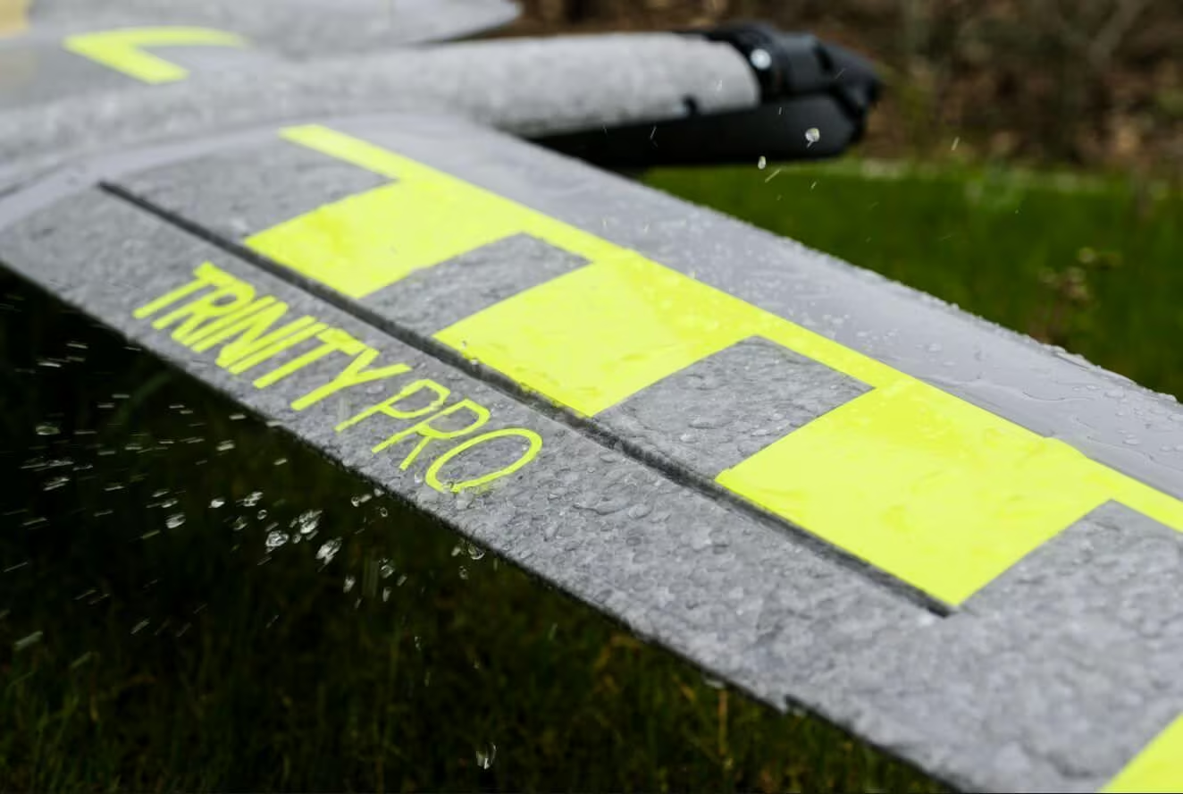
IP 55 rating
Users benefit from the IP 55 rating for our drone when operating in challenging environments. It is broadening the application capabilities while reducing risk to the unit.
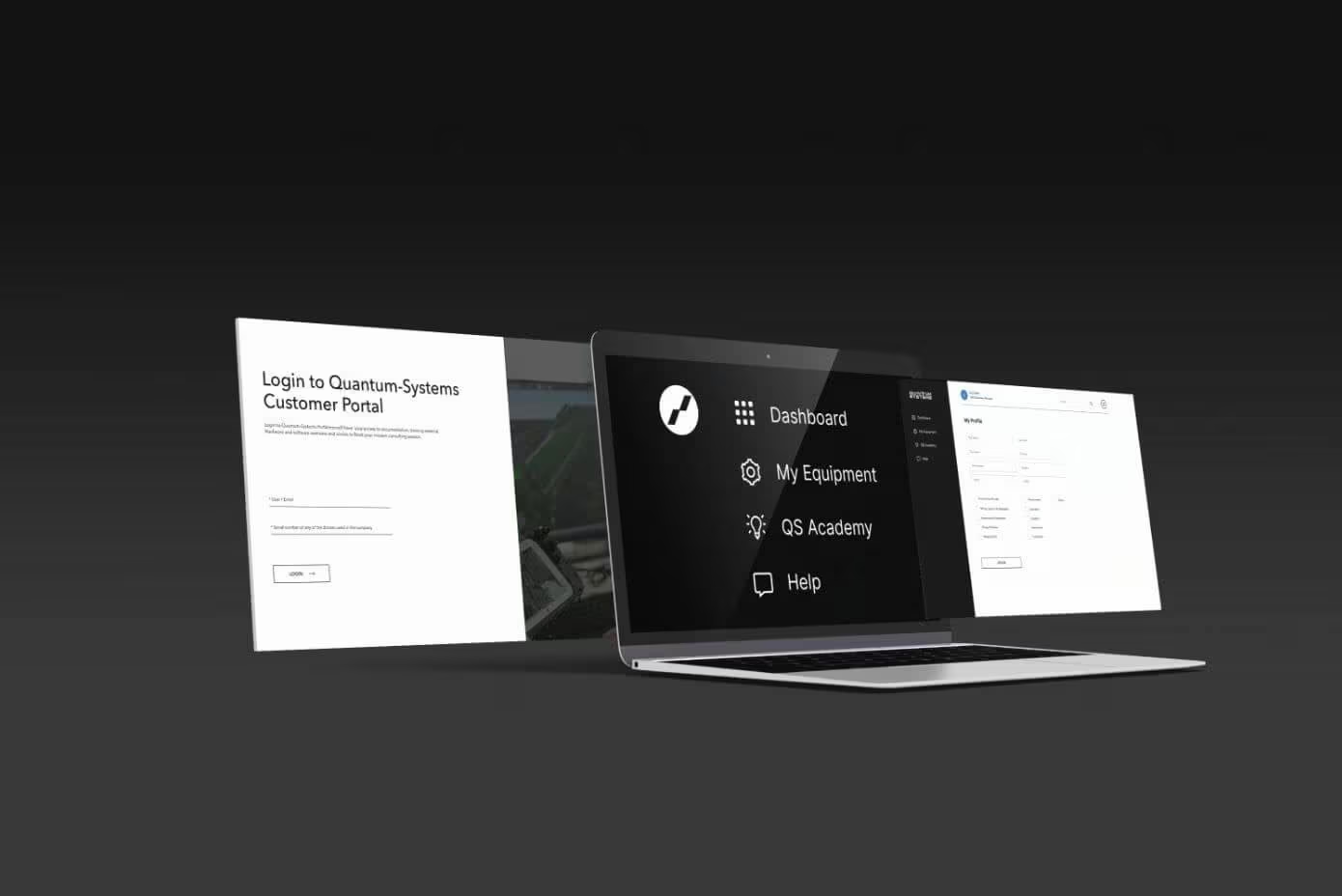
The Quantum Systems Customer Portal
Register your drone and get access to the Quantum Systems Customer Portal. It will guide new users through all required steps when starting operation, also offering online classes. Our world-class support, service, and training team are standing by and ready to help in case more support is needed.
Offsetting CO2
With the sale of each Trinity Pro, Quantum-Systems protects an area of 64 square meters in the Peruvian Amazon rainforest. By protecting primary native forests in Peru, together with the Wilderness International Foundation, each Trinity Pro sold is offsetting part of its CO₂ footprint.

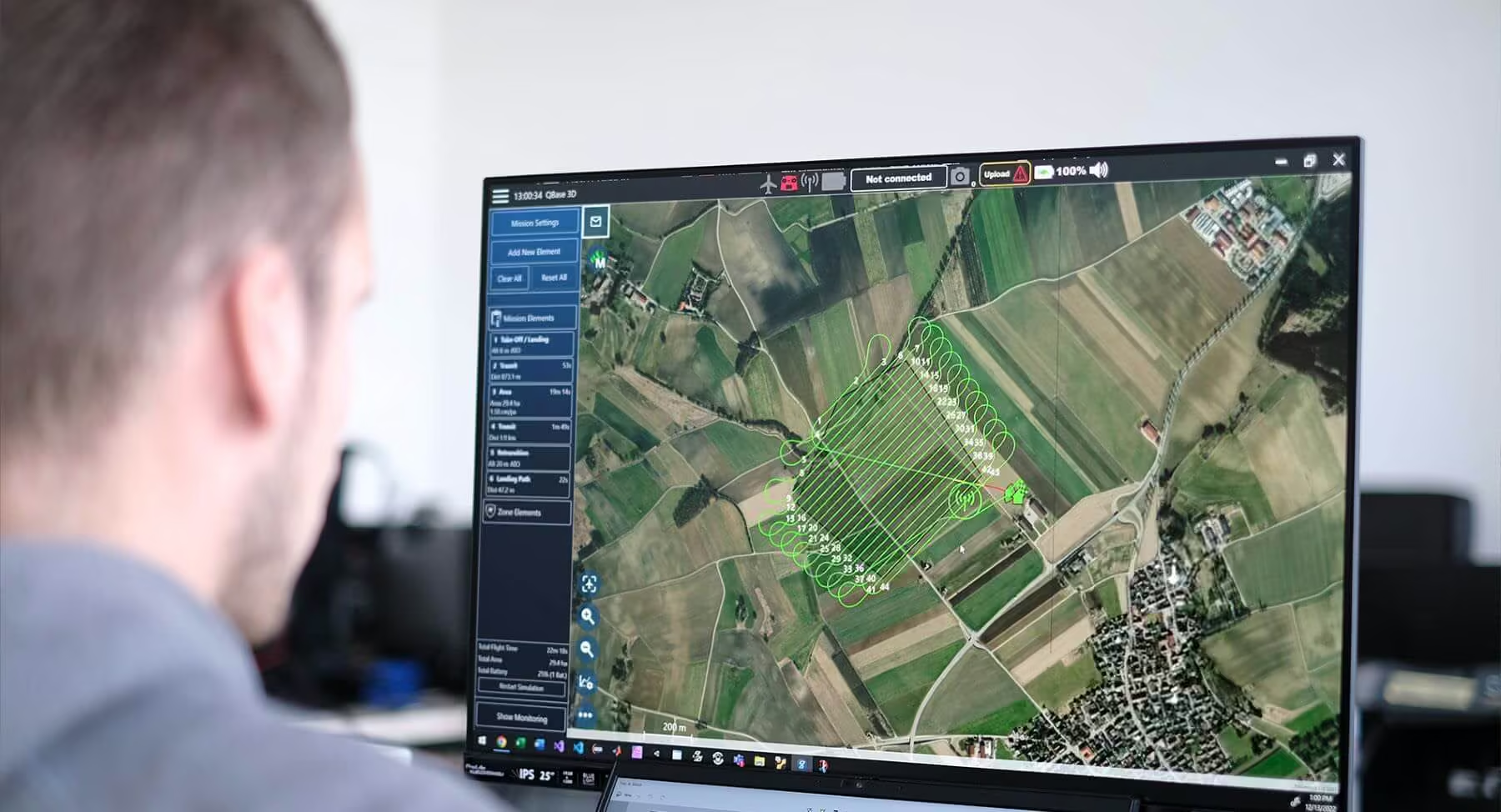
Fully Integrated Mission Planning and Control With QBase 3D
Trinity Pro and our QBase 3D software form a completely integrated system that lets you plan and execute your missions with ease. Benefit from cutting-edge safety features such as extensive pre-flight checks, automatic wind simulation and advanced terrain following.
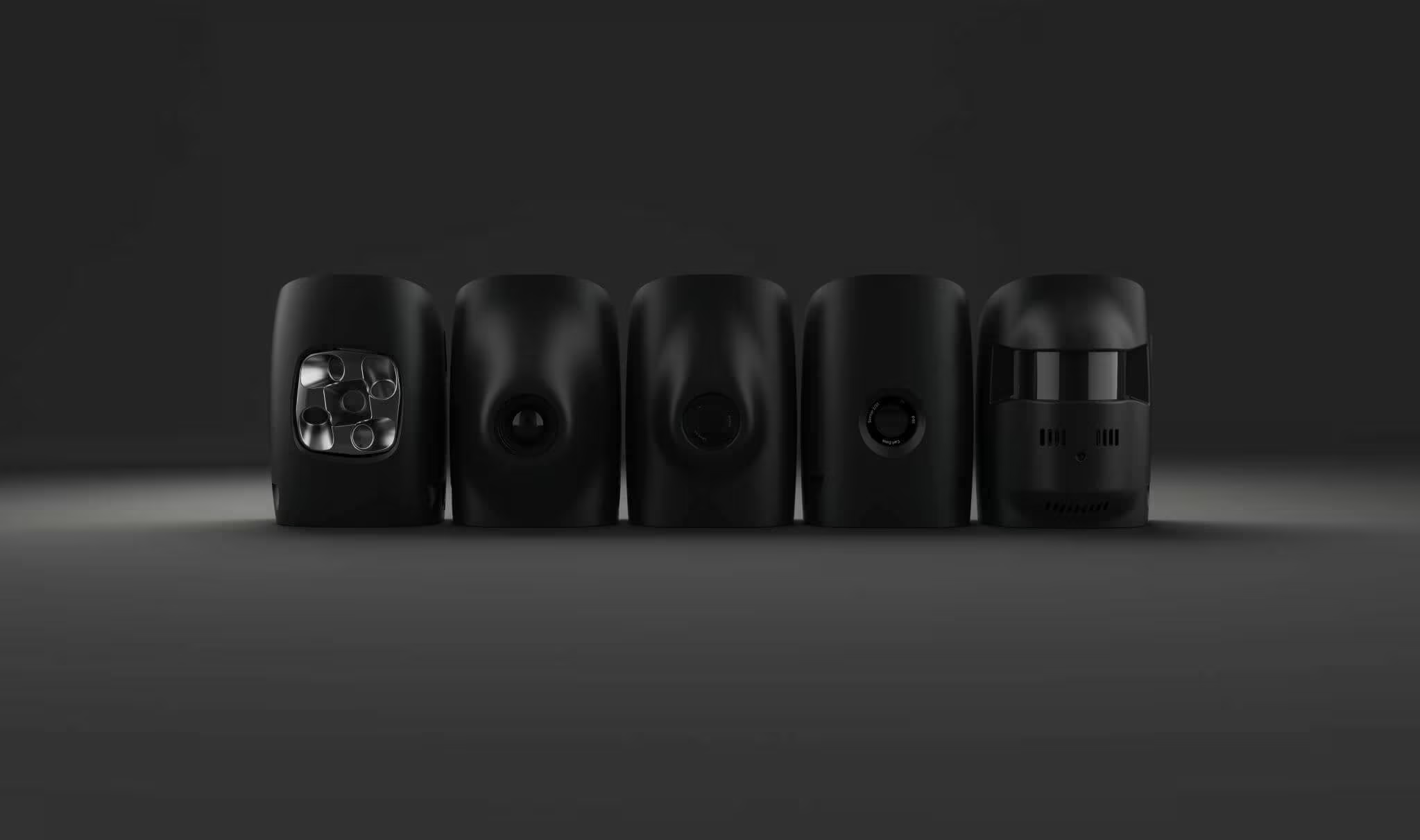
Trinity Pro Cameras
Trinity Pro users have the choice between five different fully integrated cameras, including RGB, oblique, multispectral and LiDAR. They are easy to swap using the quick-lock mechanism of the payload compartment. The entire system architecture allows easy downstream integration of next generation cameras and simpler workflows.
See the Trinity Pro in Action
Explore real-world footage and detailed visuals showcasing the Trinity Pro in operation. From take-off to data capture, see how the platform performs in demanding environments and delivers professional-grade results across diverse mission scenarios.
Related Images





Need a Quote?
We’ll Call You
Simply enter your contact details and one of our specialists will call you to discuss your requirements and provide a detailed quotation.
-
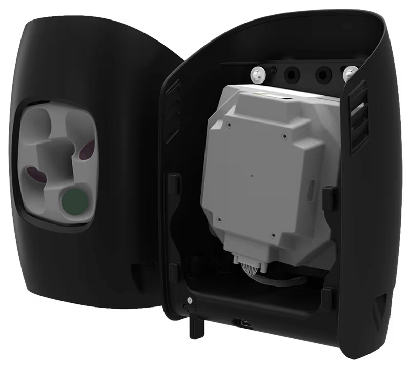
Oblique D2M
The Oblique D2M is a powerful oblique imaging system consisting of five high-resolution multi-directional cameras, making it the ideal tool for large scale 3D photogrammetry. -

Qube 640
Not just limited to productivity gains, the Qube 640 sensor excels in precision and accuracy. -

Phase One P5
The Phase One P5 is the world’s first purpose-built engineering survey grade camera for UAVs. -

Sony ILX LR1
The SONY ILX-LR1 camera, with its cutting-edge high-accuracy capabilities and expansive coverage.