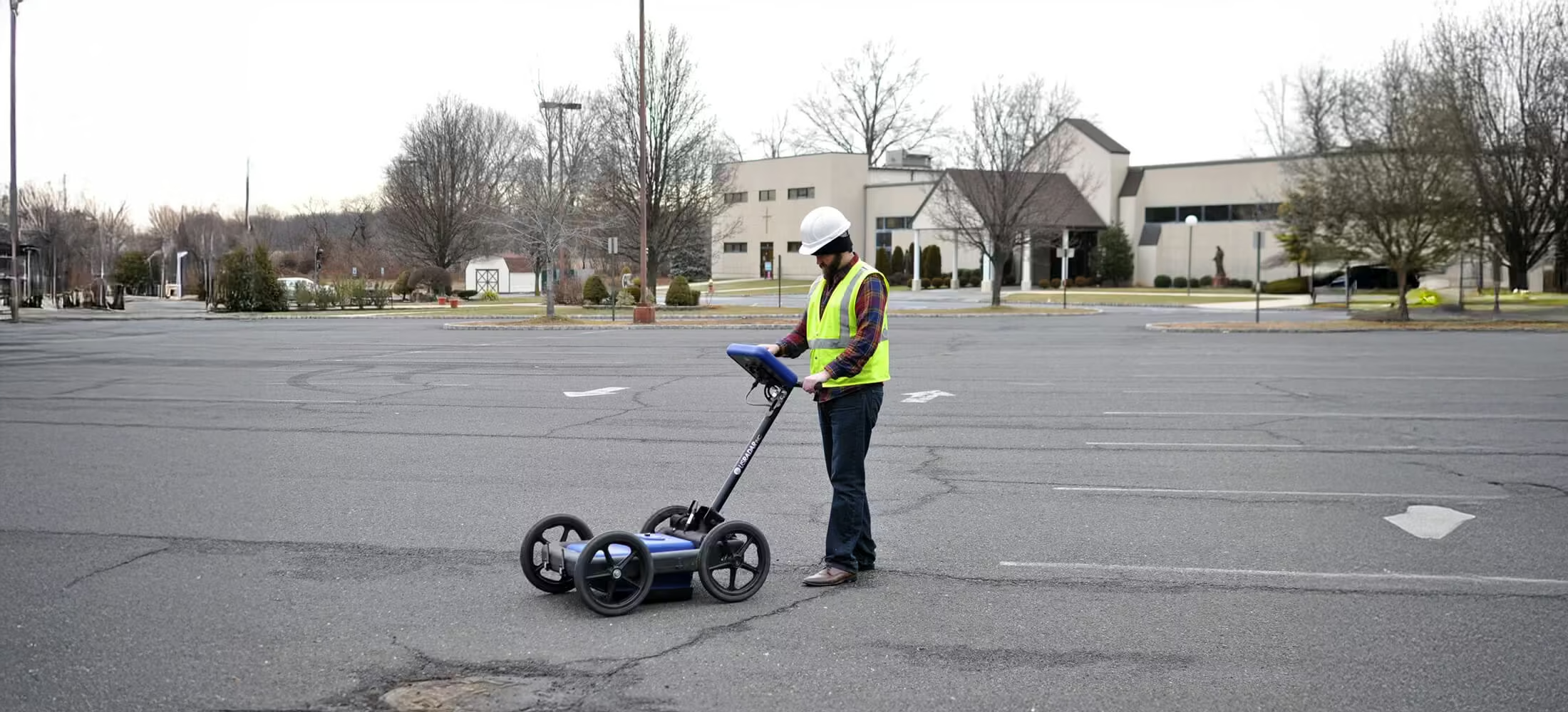
Q5C Plus
Expandable and configurable to suit your needs
Simply put, the Q5C Plus is a buried utility location workhorse. It is easy to use yet it can be expanded and configured for other applications and needs down the road. With its unique range of integrated technologies, it is the most powerful GPR on the market today for locating utilities up to 15’ (5m) deep at high resolution.
Need a Quote?
We’ll Call You
Simply enter your contact details and one of our specialists will call you to discuss your requirements and provide a detailed quotation.
Need a Quote?
We’ll Call You
Simply enter your contact details and one of our specialists will call you to discuss your requirements and provide a detailed quotation.

Integrated Data Collection and Visualization for Safer, Smarter Project Execution
The Q5 is more than just a utility locator, however. It is also a data collection platform that allows you to visually document your findings to share with others on your utility installation and maintenance teams. You can use the easy-to-learn interface to create a deliverable dataset that ensures all workers are on the same page when completing the job.
This results in a safer, more efficient work environment where everyone is working with more confidence.
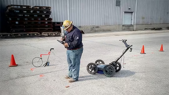
Hardware Technologies
-
Stepped Pulse Multi-Frequency GPR
-
SmartGain 2
-
Folding Rough Terrain Cart
-
Self-Calibrating
Software Technologies
-
SmartStack
-
StreetSmart Real-Time Processing
-
Auto Config
-
Depth Calibration
Applications
-
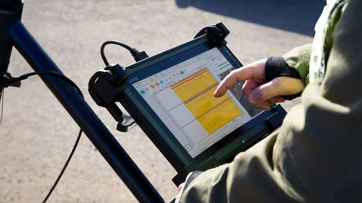
Daylight readable, weatherproof Getac tablet interface
-
High performance CPU enables real-time data processing
-
Built-in 3D view capability
-
WiFi supported
-
USB, Ethernet, HDMI and Audio ports
Integrated Design for Accuracy, Efficiency, and Field-Ready Performance
It all comes together in a configuration that is easy to learn and implement, provides stunning high accuracy of 5cm and enables the operator to provide a deliverable that crew in the field can immediately use.
Need a Quote?
We’ll Call You
Simply enter your contact details and one of our specialists will call you to discuss your requirements and provide a detailed quotation.
Need a Quote?
We’ll Call You
Simply enter your contact details and one of our specialists will call you to discuss your requirements and provide a detailed quotation.
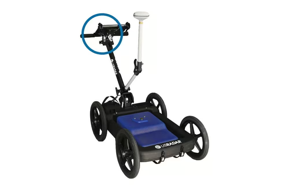
Durable, Glare-resistant Tablet Interface
-
Daylight readable, weatherproof Getac tablet interface
-
High performance CPU enables real-time data processing
-
Built-in 3D view capability
-
WiFi supported
-
ESB, Ethernet, and Audio ports
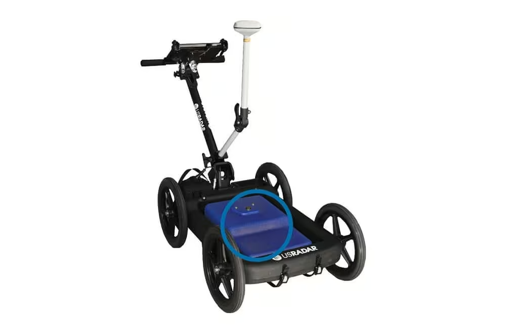
Sloped Antenna Design
-
Easily glides over obstacles
-
Optional GPS integration
-
Military-grade connectors for secure connection between antenna and controller
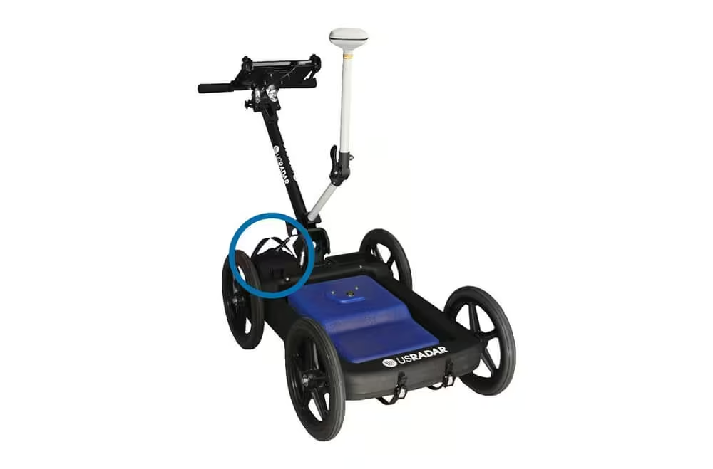
Long-life Battery Packs
-
Battery lasts a total runtime of 8 hours each
-
Battery packs have lifespan of several years
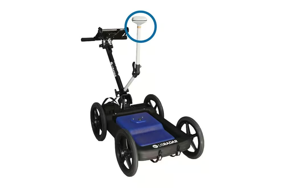
Gps Integration (Optional)
-
Optional GPS Pole mount
-
Enables GPS to be centered over antenna
-
Integrates with most high-end GIS and RTK units
-
Optional integration with Google Earth
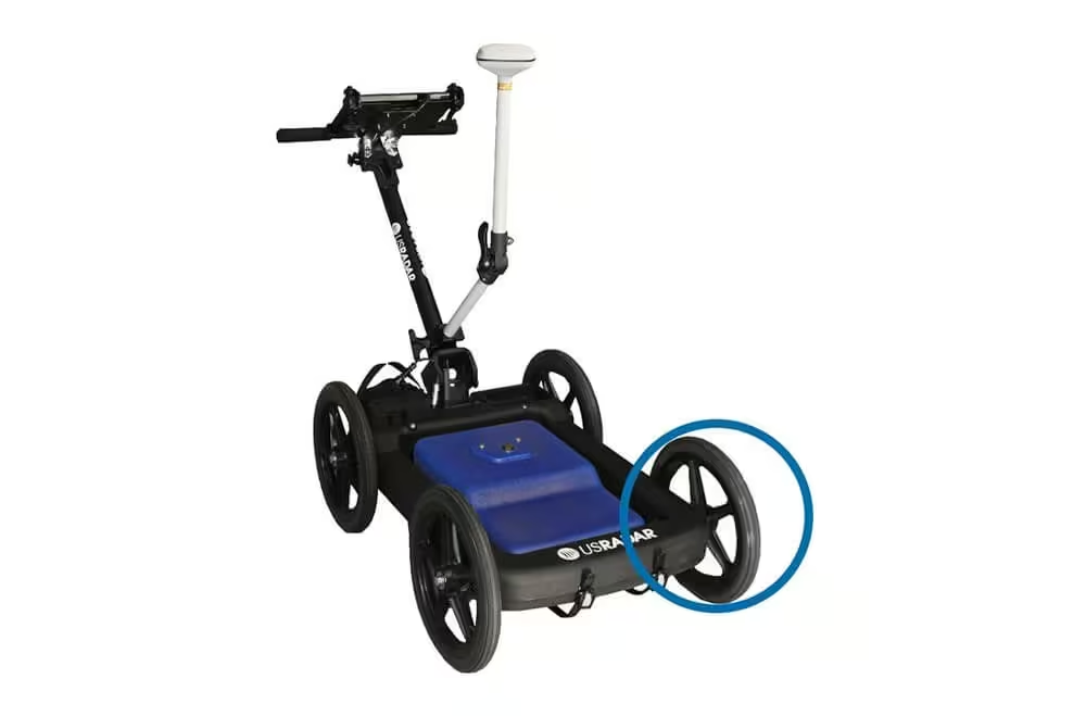
Airless Tires
-
Airless, solid tires that cannot go flat
-
Require no maintenance
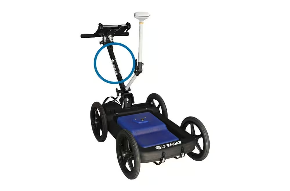
Easy Storage
-
Folding cart handle and controller tablet mount for easy storage.
Versatile Applications Across Utility, Environmental, and Investigative Projects
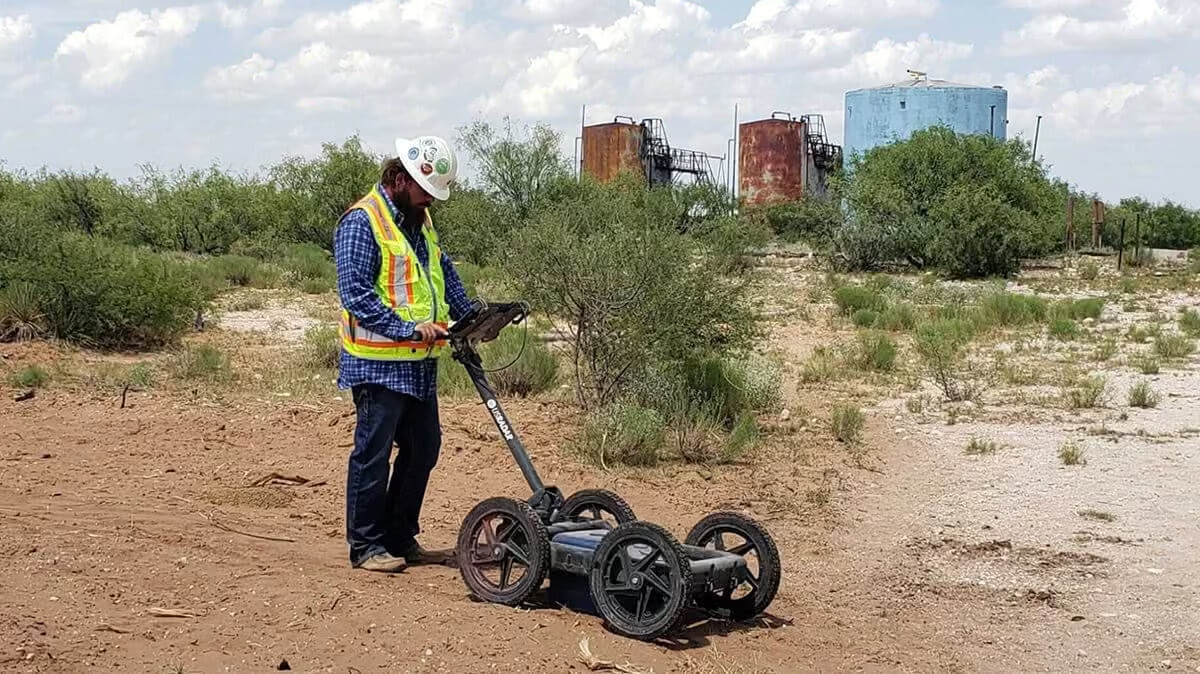
Designed for flexibility in the field, the Q5C Plus adapts to a wide range of project requirements across infrastructure, environmental assessment, heritage surveys, and investigative work. Its advanced imaging capability supports accurate decision-making in both routine and complex subsurface conditions.
Utility Locating
-
Non-metallic pipes
-
Metallic pipes
-
Fiber optics
-
Water boxes
-
Missing valves
-
Conduit
Environmental
-
Buried Drums
-
Tanks
-
Voids
-
Landfill limits
Archeological
-
Artifacts
-
Graves
Law Enforcement
-
Forensic Investigation
-
Illegal Connections
See the Q5C Plus in Action
Explore the Q5C Plus operating in real-world utility locating environments. View field demonstrations and system walkthroughs that showcase its multi-frequency imaging capability, intuitive interface, and ability to generate clear, shareable subsurface data on site.
Related Images


Need a Quote?
We’ll Call You
Simply enter your contact details and one of our specialists will call you to discuss your requirements and provide a detailed quotation.
-

Quantum Imager
The triple frequency Quantum Imager by US Radar is capable of significantly greater depths with higher resolution than any other locating technology. -

GPRover
The GPRover is not just a GPR, but a sophisticated platform that integrates advanced subsurface imaging technology -
Q5C PLUS
Simply put, the Q5C Plus is a buried utility location workhorse. It is easy to use yet it can be expanded and configured for other applications and needs down the road. -

Q10
The Q10C is a high resolution 1000 or 900 MHz GPR Cart System for Bridge Deck Scanning and other high resolution/shallow applications.