Penmap for Android
Technology made to work for you
Trimble® Penmap® for Android™ is a powerful, yet incredibly straightforward, cloud-connected application for field surveying and high-accuracy GIS data collection. Whether working on the Windows® or Android™ platform, Penmap is designed to provide both professional surveyors and field workers with a reliable and complete data collection application.
Need a Quote?
We’ll Call You
Simply enter your contact details and one of our specialists will call you to discuss your requirements and provide a detailed quotation.

Simple, Flexible and Accurate Field Data Awareness
Trimble® Penmap® for Android™ is designed to do all the basics well, and provides both professional surveyors and field workers with an intuitive, easy-to-use map-based interface for entering and managing features and attributes. Supporting a select set of essential features, it’s focused and efficient—ideal for the work you need done.
Flexible
Penmap offers both GIS and Survey capabilities in one application, to tackle all aspects of your job.
Simple
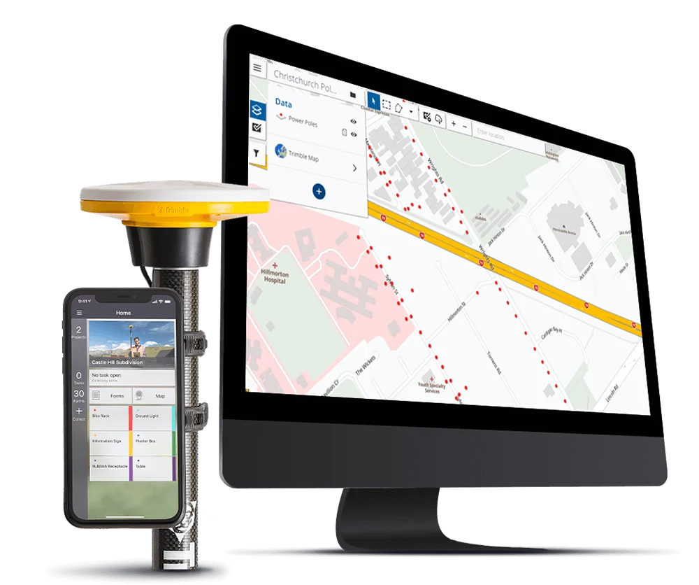
Penmap is designed with a visual, intuitive, easy-to-use map-based interface for entering and managing features and attributes.
Accurate
Penmap supports real time correction source methods, including RTK, VRS, RTX, and Trimble® Catalyst™.
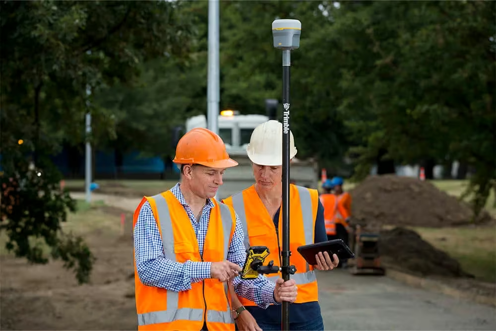
Penmap for Android
Penmap for Android supports a select set of essential features, keeping it focused and efficient – ideal for the work you need done.
Features
-
Core survey functionality and high accuracy GIS data collection
-
Powerful but straightforward operations
-
Intuitive interface using your own Android device
-
Compatible with existing Trimble GNSS R-Series receivers
-
Supports Trimble Catalyst software-based GNSS System for on-demand precise positioning
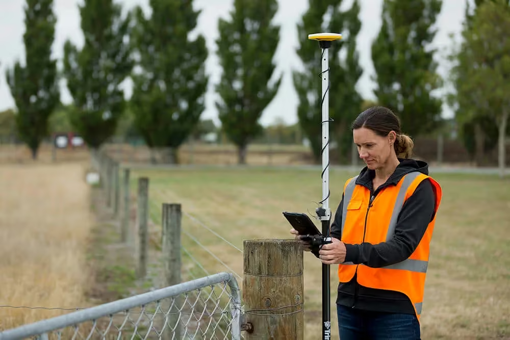
Penmap for Windows
Penmap Windows provides enhanced capabilities for executing more technical, detail oriented work, where both GNSS and optical tools are needed for high accuracy.
Features
-
Real time editing and verification of captured data
-
Full 3D surveying
-
Support for manufacturer independent devices
-
Direct logging of total station and GPS data
-
Enhanced parcel editor tools
-
Area computation and calculated fields
-
Capture photographs, sketches and signatures
-
Configurable point and code numbering

Penmap for Android
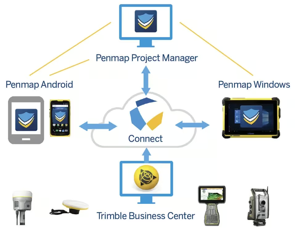
In an ecosystem, everything exists with a purpose and function to serve a task.
The Penmap ecosystem supports multiple platforms, job types, equipment, manufacturers, and data formats, to serve you and the job you need to get done.
An effective tool for your field kit
Need a Quote?
We’ll Call You
Simply enter your contact details and one of our specialists will call you to discuss your requirements and provide a detailed quotation.
Need a Quote?
We’ll Call You
Simply enter your contact details and one of our specialists will call you to discuss your requirements and provide a detailed quotation.
-
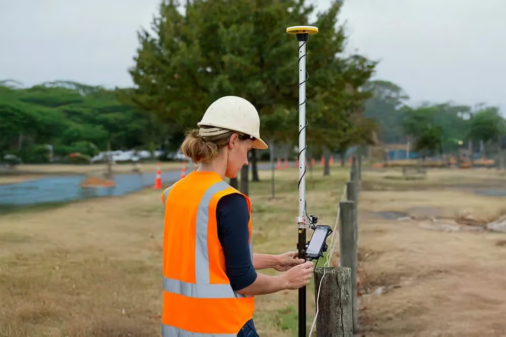
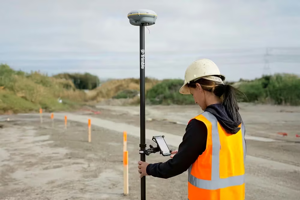
Provides core survey functionality including cadastral and boundary surveys, stake-outs, QA/QC checks, and records and stores all measurement data.
-
Syncs with Trimble Connect, a collaborative cloud platform, for easy upload and transfer of data between office and field and back.
-
Includes a powerful Feature and Attribute system that is fully compatible with industry standard surveying/CAD, GIS, and data management applications.
-
Supports survey tasks and high-accuracy GIS data collection within the same application.
Trimble technology at your fingertips
-
Runs on Android devices such as your own smartphone and tablet, or a fully rugged device like the Android-based Trimble TDC100 handheld.
-
Supports the subscription-based Trimble Catalyst™ software GNSS receiver, providing very low initial cost of ownership and flexible plans for a complete surveying/GIS system.
-
Compatible with full-featured Trimble GNSS receivers such as the R2, R8s, R10 and R12.
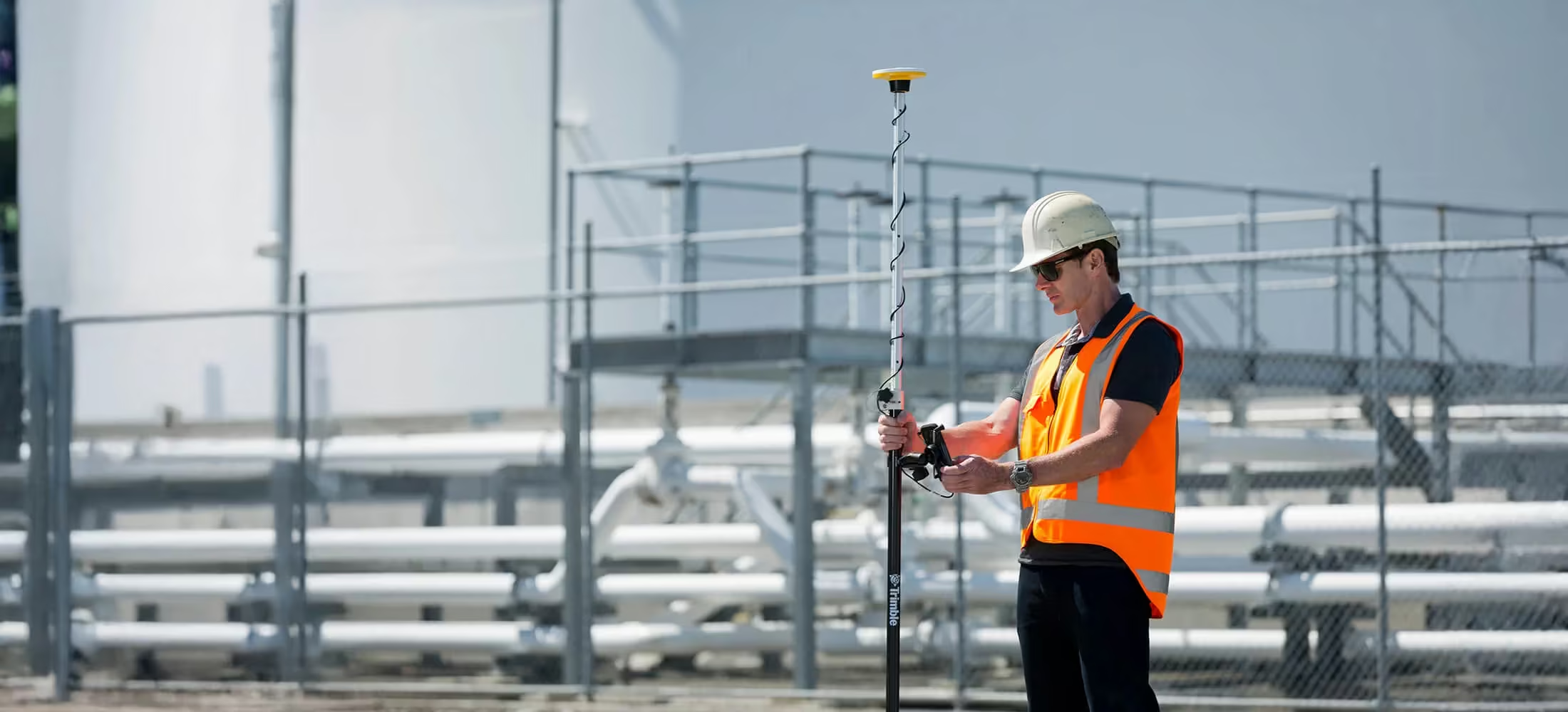
Key Features Of The PenMap
Need a Quote?
We’ll Call You
Simply enter your contact details and one of our specialists will call you to discuss your requirements and provide a detailed quotation.
Need a Quote?
We’ll Call You
Simply enter your contact details and one of our specialists will call you to discuss your requirements and provide a detailed quotation.
-
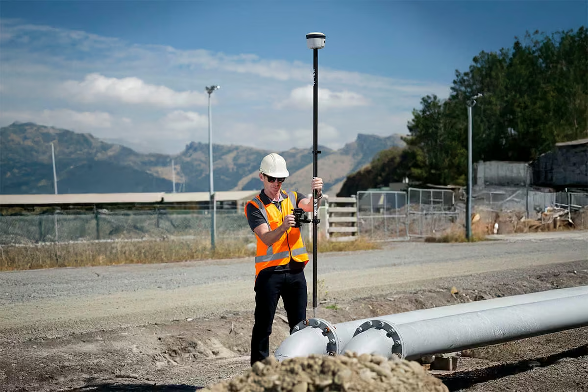
Supports core survey functionality and high-accuracy GIS data collection
-
Powerful but straightforward workflows
-
Intuitive interface using your own Android device
-
Compatible with existing Trimble GNSS R-Series receivers
-
Supports Trimble Catalyst™ software-based GNSS receiver for on-demand precise positioning
Need a Quote?
We’ll Call You
Simply enter your contact details and one of our specialists will call you to discuss your requirements and provide a detailed quotation.
Applications Across Surveying, Utilities and GIS
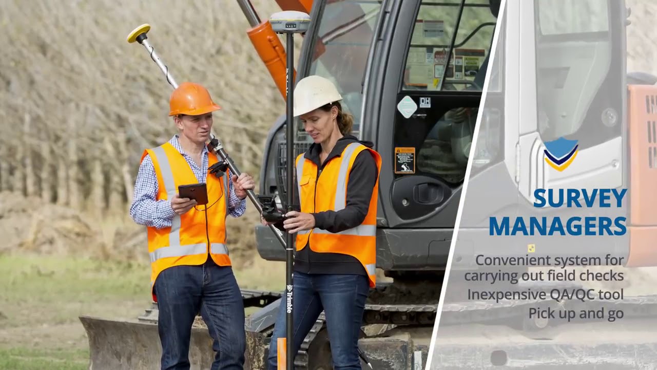
Designed to support a wide range of field workflows, this solution enables accurate data capture, reliable measurements and efficient mapping across multiple industries. From general surveying and cadastral work to utility documentation and high-accuracy GIS data collection, it delivers the flexibility and precision needed to work confidently in any environment.
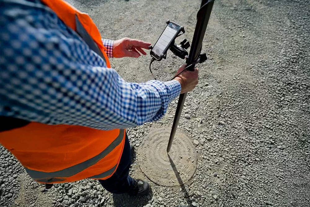
General Surveying
Cadastral and boundary surveys; staking; site calibrations; measurements; land registration; mapping.
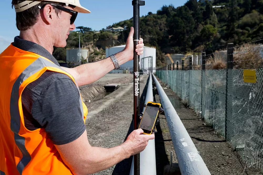
Electric & Gas
Documenting infrastructure; recording encroachments, clearways, existing monuments; locating crossings.
GIS
High-accuracy data collection, features and attributes.
See the SiteVision in Action
Experience how SiteVision brings geospatial data to life in the field, enabling clear visualisation, accurate verification, and confident decision-making across every stage of your project.
Related Images


Need a Quote?
We’ll Call You
Simply enter your contact details and one of our specialists will call you to discuss your requirements and provide a detailed quotation.
Extend Your Capability with Related Devices
-
Trimble Terraflex
Imagine uniting easy, intuitive field data collection with the power of high-accuracy GNSS positioning in a single, streamlined application.
-

Trimble SiteVision
Imagine if you could see things that are hidden or that don’t actually exist yet. With the Trimble® SiteVision™ outdoor augmented reality system you can.
-

Trimble HPS2
The Trimble® HPS2 handle combines the Trimble DA2 GNSS receiver with an EDM (electronic distance measurement).