SiteVision
The power of information, re-imagined
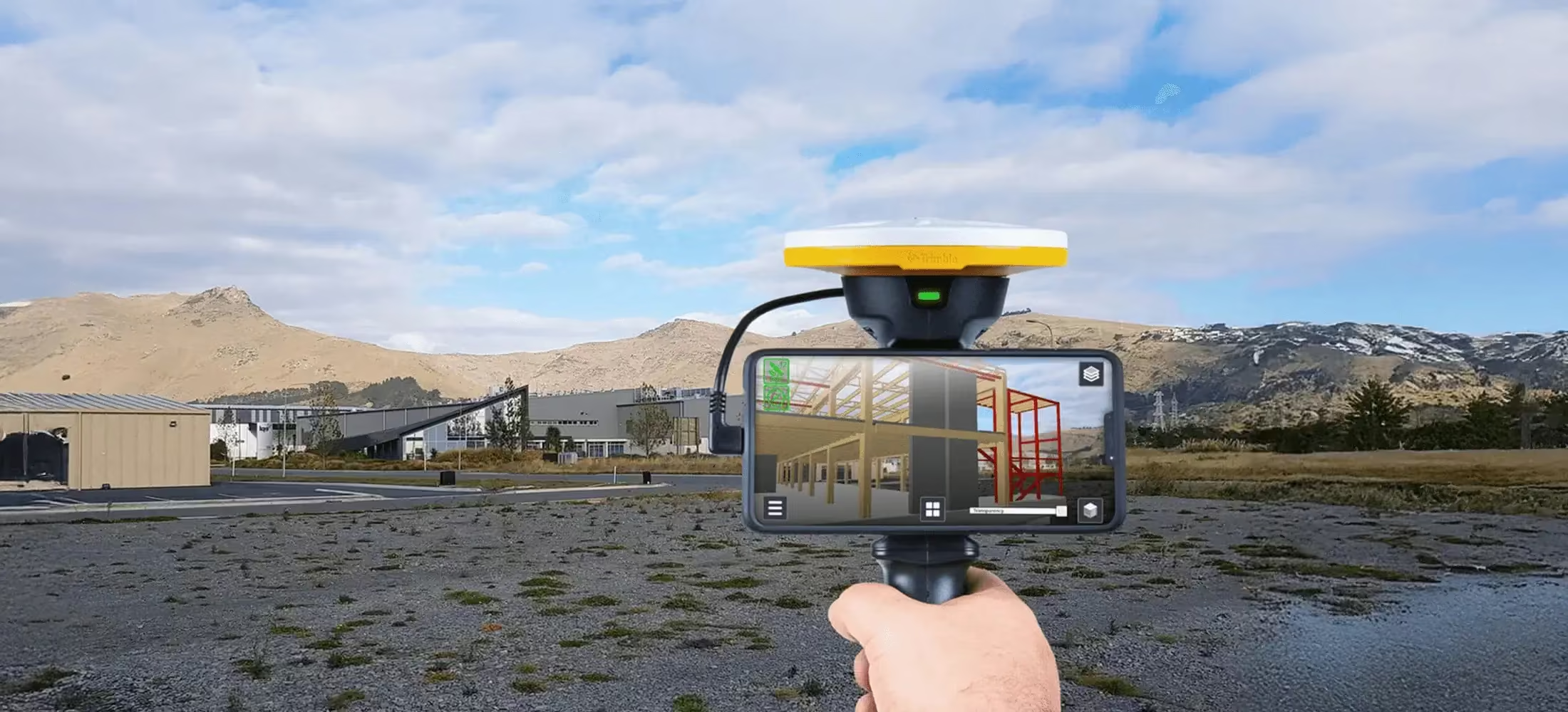
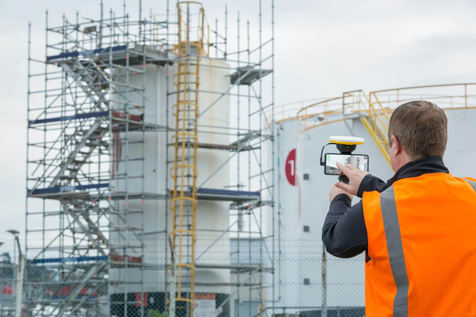
Imagine if you could see things that are hidden or that don’t actually exist yet. With the Trimble® SiteVision™ outdoor augmented reality system you can. SiteVision is a user-friendly Augmented Reality system that brings 3-Dimensional data to life in real-world environments so you can easily visualise, explore and understand complex information with unrivaled ease and accuracy.
Need a Quote?
We’ll Call You
Simply enter your contact details and one of our specialists will call you to discuss your requirements and provide a detailed quotation.
Need a Quote?
We’ll Call You
Simply enter your contact details and one of our specialists will call you to discuss your requirements and provide a detailed quotation.

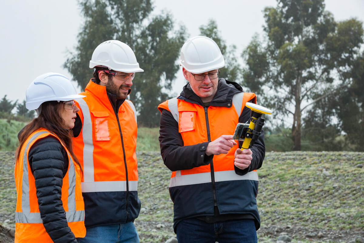
The HPS2 handle includes a GNSS receiver and EDM technology and pairs with Trimble field software to enable in-field data viewing and data collection.
Visualise in 3D
Place and view georeferenced 3D models from any angle at true-to-life scale-above or below the ground.
Colaborate
Share, communicate, and collectively interact in real time with easy-to-understand visualisations.

Report
Take photos, measurements and notes in the field; create tasks and assign them to team members.
Measure
Measure positions using GNSS, Electronic Distance Measurement, and Augmented Reality to better understand your data on site.
Industries and Applications
Trimble solutions facilitate high-quality, productive workflows and data exchange, driving value for a global, diverse user base.
Need a Quote?
We’ll Call You
Simply enter your contact details and one of our specialists will call you to discuss your requirements and provide a detailed quotation.
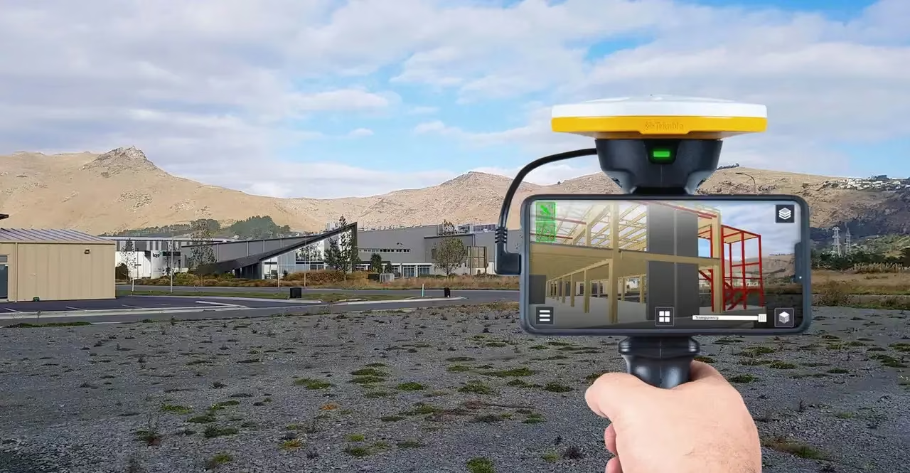
Take a walk through your job site and visualise
-
Conceptual designs, from buildings to roads, as they might appear in real life
-
What lies beneath the ground or resides inside walls, such as water pipes and electrical cabling
-
Communicate complicated plans and drawings
-
Precisely identify where concealed assets are
-
Minimize costly errors and safety related incidents
Simply upload your data, visualize and manipulate it in the field, and report back to the office—all through the Trimble Cloud.
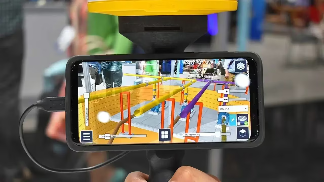
Easy-to-use software brings data to life
-
Automatically place models on site, with centimeter-level accuracy
-
View fully textured models in 3D, plan view or cross-section
-
View any attributes in your model
-
Adjust model opacity or cross-section to understand context
-
View subsurface models with PitView
SiteVision supports Trimble, open industry standard, and third-party file types (TBC, SketchUp, Esri, AutoCADWorks) so you can seamlessly integrate with your existing workflows and data.
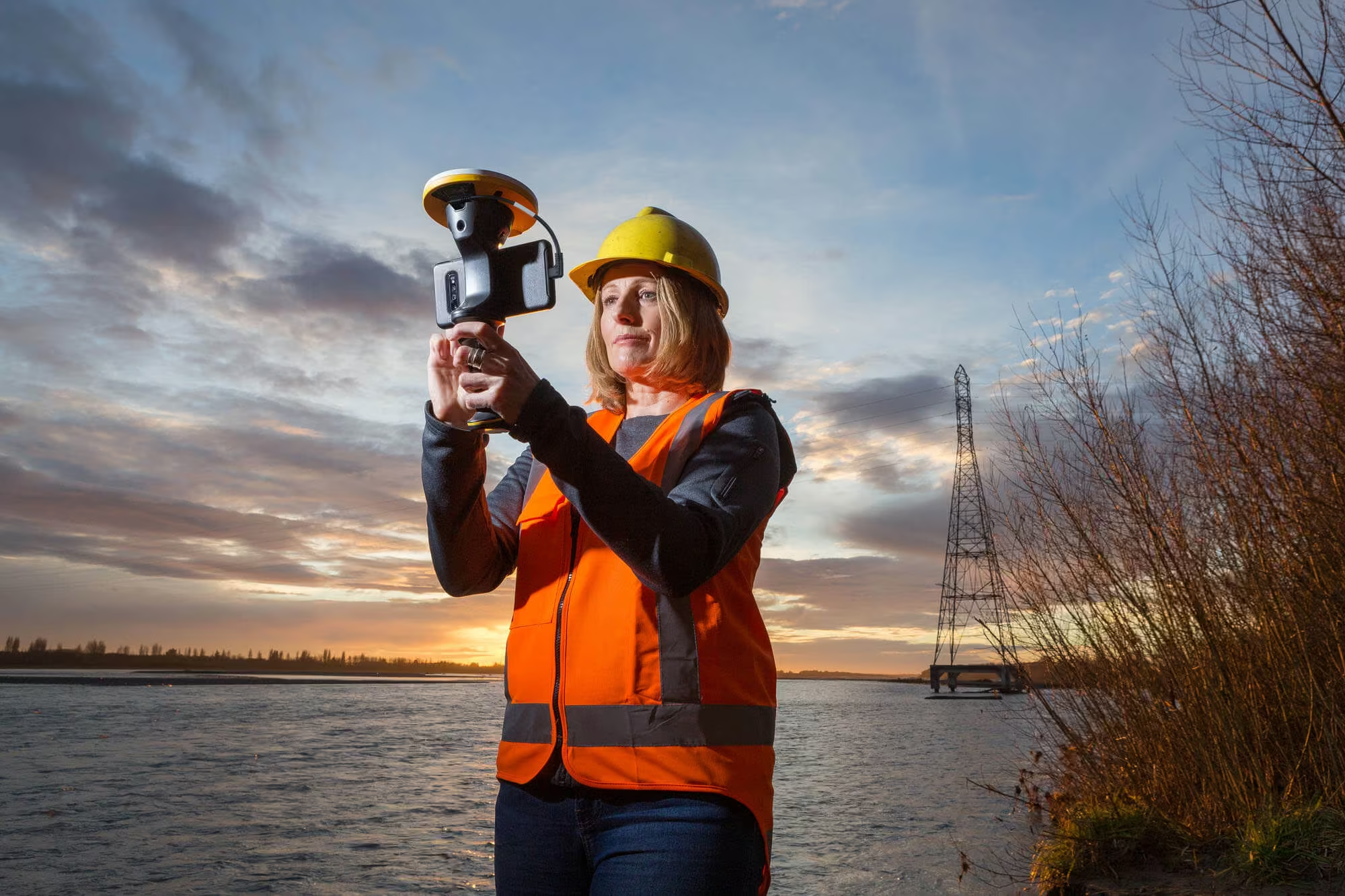
Compatible Devices
Trimble SiteVision runs on mobile devices, smaller than 8″, supporting Google Play Services for AR and the Android™ Operating System Version 9.0.
Place and view georeferenced 3D models from any angle at true-to-life scale-above or below the ground.
Streamlined, integrated solution
-
Centimeter-accuracy GNSS positioning with the Trimble Catalyst™ software-based receiver
-
Remote measurement with an Electronic Distance Measurement (EDM) rangefinder
-
Flexible design fits user-supplied Android™ 9 phones (up to 8” screens)
-
Waterproof and rugged
-
Works handheld or pole-mounted
Seamless workflows between the field and office
Upload your data, visualize it in the field and report back to the office—all through Trimble Connect. SiteVision works with data from Trimble’s full range of data collection, design and modelling tools, and data available in open industry standard formats:
SKP, VCL, TTM, TRB, IFC, LandXML, DWG, SHP, Geodatabase, and PNG.
Real World Applications Across Key Industries
Discover how SiteVision enhances decision-making and collaboration across geospatial, utility, government, and surveying workflows by bringing critical data into real-world visualisation for faster, smarter project outcomes.
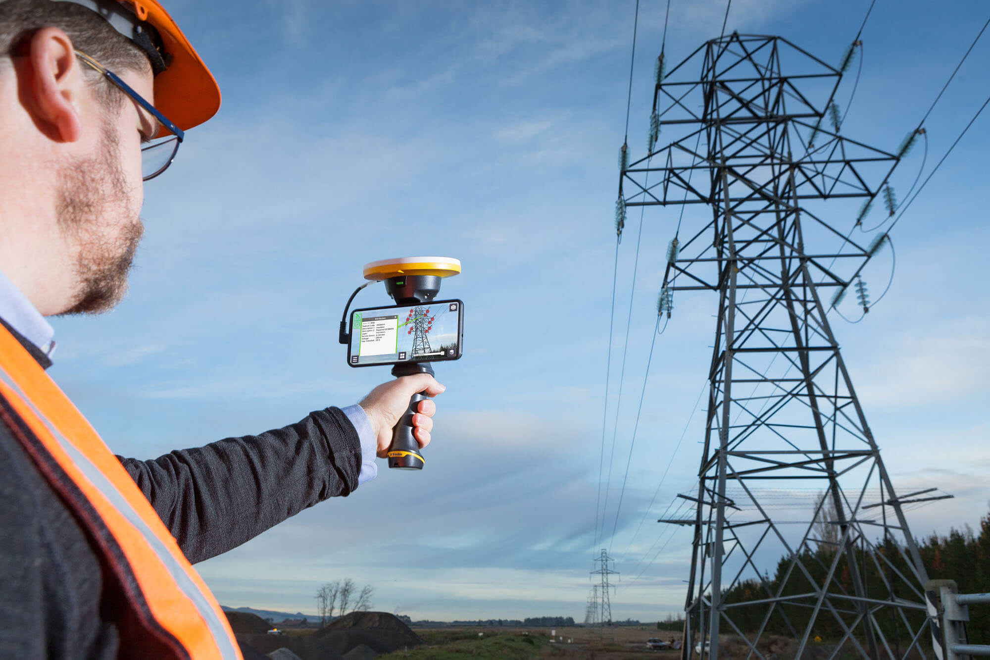
Utilities
-
Replace paint marks and 2D plans with precise visualizations.
-
Verify and confirm database integrity, improve safety, and enhance awareness on the job site.
-
Turn existing GIS data into easy to understand 3D models complete with attributes for public and contractor engagement.
-
Check utility location offsets from property boundaries and occupation, or measure the distance between pipes, pylons or valves within your model.
-
Supports 2D and 3D data from Esri databases, digital elevation models, .DWG, .SKP and .IFC data formats.
Local Government
-
Promotes citizen engagement and collaboration between government offices, inspectors and public stakeholders which ultimately help save you time and money.
-
Delivers real time visualizations of information such as locating emergency services following a disaster, planning a public works project, or protecting and preserving a cultural or heritage site.
-
Displays complex government database information as easily understood visualizations so that issues and discrepancies can be quickly identified and reported leading to efficient and confident decisions.
Cadastral Survey
-
Visualize parcel boundaries in real time in the context of the field environment
-
Accurately locate buried monumentation
-
Monitor site progress through easy to understand visualizations
-
Turn existing geospatial data into easy-to-understand 3D models complete with attributes for public and contractor engagement
See the SiteVision in Action
Experience how SiteVision brings geospatial data to life in the field, enabling clear visualisation, accurate verification, and confident decision-making across every stage of your project.

Related Images


Need a Quote?
We’ll Call You
Simply enter your contact details and one of our specialists will call you to discuss your requirements and provide a detailed quotation.
Extend Your Capability with Related Devices
-

Trimble Penmap for Android
Trimble® Penmap® for Android™ is a powerful, yet incredibly straightforward, cloud-connected application for field surveying and high-accuracy GIS data collection.
-
Trimble Terraflex
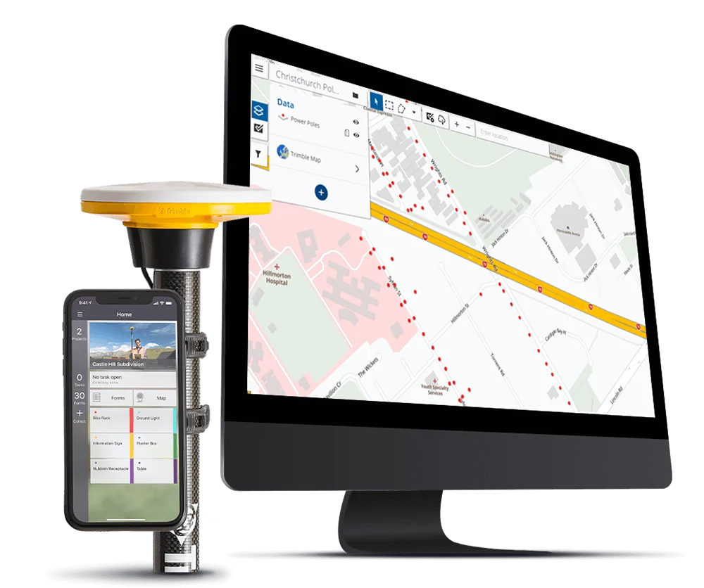
Imagine uniting easy, intuitive field data collection with the power of high-accuracy GNSS positioning in a single, streamlined application.
-

Trimble HPS2
The Trimble® HPS2 handle combines the Trimble DA2 GNSS receiver with an EDM (electronic distance measurement).