Terraflex
Simplicity has arrived. Streamline your data collection.
Imagine uniting easy, intuitive field data collection with the power of high-accuracy GNSS positioning in a single, streamlined application. One solution for every step in your workflow. Whether it’s time to modernize your existing data capture solution, or you’re starting from scratch, the Trimble® TerraFlex™ data collection solution checks all the boxes. Stated simply: it just works.
Need a Quote?
We’ll Call You
Simply enter your contact details and one of our specialists will call you to discuss your requirements and provide a detailed quotation.
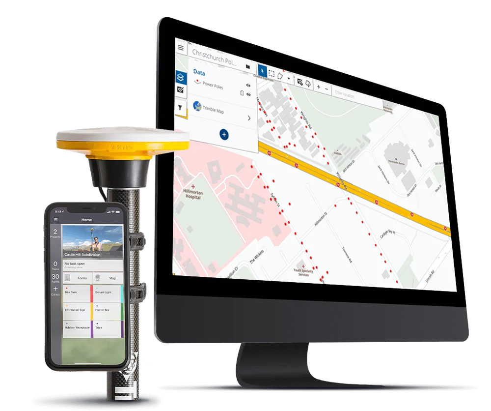
A better way to collect, manage, and deliver geospatial data at every step
Trimble has led the evolution of mapping and GIS technology for decades. With Trimble TerraFlex, we’ve changed the game.
Streamlined Field Operations
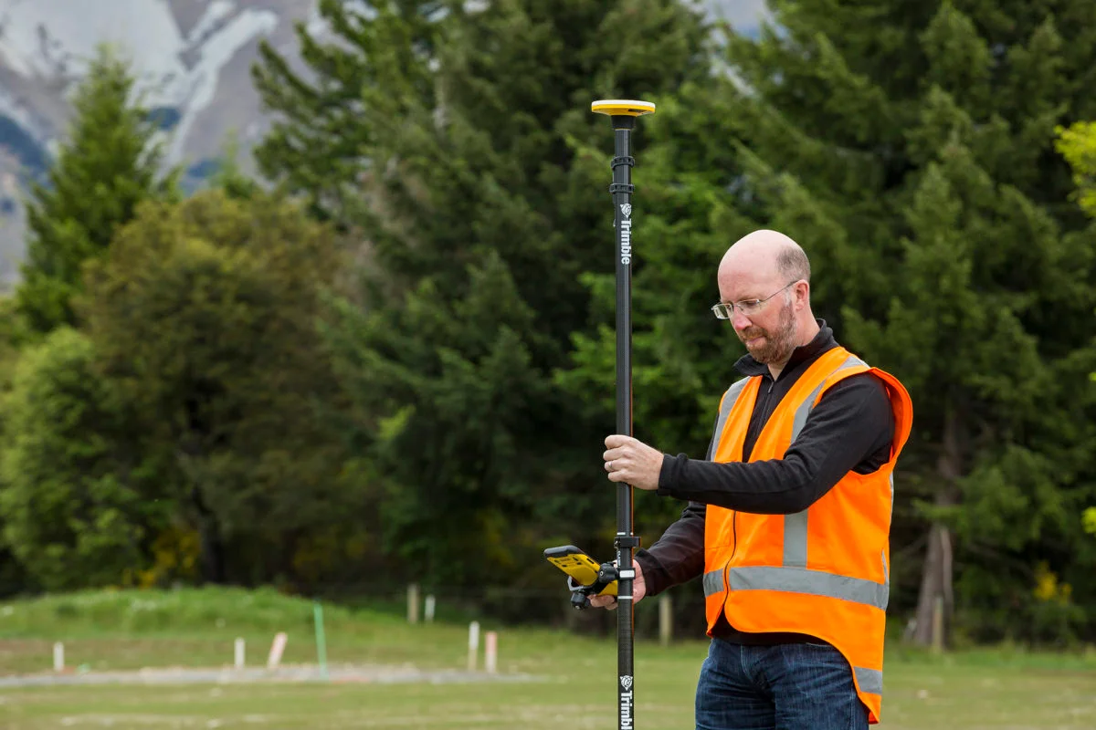
From office to field and back again, TerraFlex provides a data collection solution that eliminates complexities and ensures peak efficiency for every member of the team. You focus on collecting the data you need, we’ll take care of connecting the dots.
Accuracy, Everywhere
You capture it, we correct it—automatically. Utilizing Trimble’s range of high-accuracy GNSS solutions, you get the precision you demand no matter where the job takes you. Easy configuration, zero manual processing, even when working offline.
Effortless Adoption & Deployment
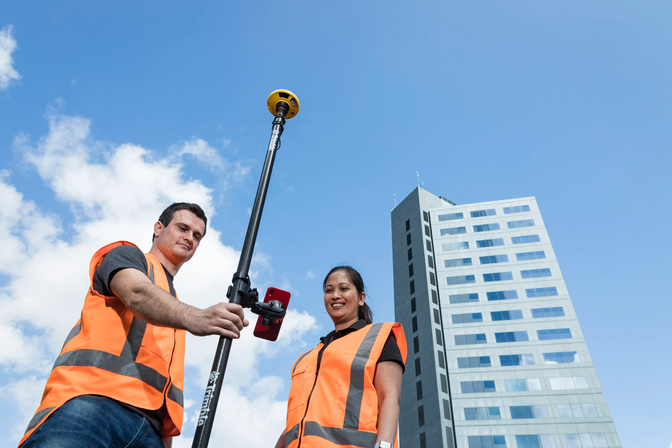
Trust TerraFlex to work seamlessly across your organization with existing smartphones, tablets and professional data collectors. With easy admin tools and monthly or annual subscription plans, the move to TerraFlex is as simple as it is smart.
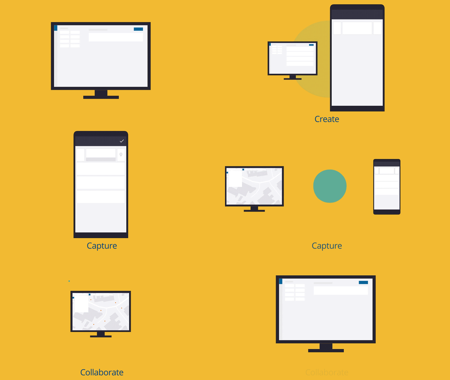
A simple, connected workflow from creation to collaboration
Need a Quote?
We’ll Call You
Simply enter your contact details and one of our specialists will call you to discuss your requirements and provide a detailed quotation.
Streamlined Data Collection Projects
Simplify the deployment of consistent data collection projects across your entire organization.
-
1. Create
Custom engineered and powered by Trimble ProPoint™ GNSS technology.
-
2. Capture
Capture the data on your smart devices and sync it back to the office. Take photos, notes, and capture locations; collect new data or keep your existing data up to date.
-
3. Collaborate
Export and share the data with your team and visualize collected data in real-time. Streamlined office-field-office workflows ensure a single source of truth and that everyone is working from the same accurate data.
Take your field data collection to the next level
Trimble TerraFlex
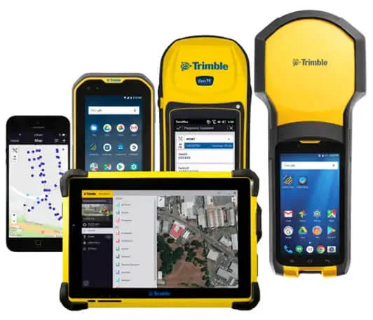
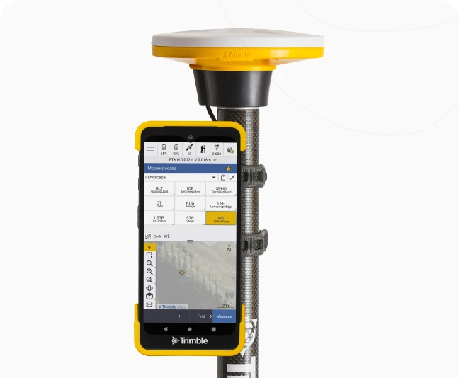
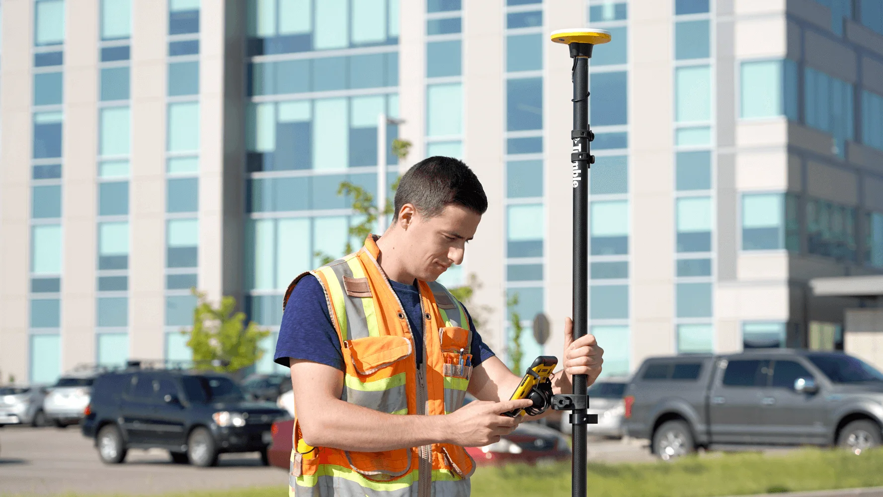
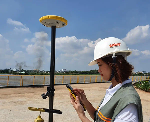
Leverage the precision of Catalyst with Trimble TerraFlex. TerraFlex has an intuitive interface that makes even elaborate data collection workflows simple to configure and execute. Works with your Android or iOS phone or tablet, or professional handhelds for environments requiring a rugged device.
Mobile data collection: Set up projects and send your teams out with customized forms templates for an optimal data collection workflow using the TerraFlex mobile app.
Hosted in the cloud: Managing TerraFlex projects is easy thanks to a simple web interface for form creation and task management. Trimble takes care of all the database administration, so you don’t need to expend resources to manage another system.
Work offline: Work even in remote areas, with data collection that is fully functional—even offline. When field workers are back in range, data will automatically sync back to the office. And for fieldwork in remote areas without access to real-time GNSS correction services, TerraFlex offline GNSS corrections automatically post-process your data after it syncs to the office.
Trimble Catalyst
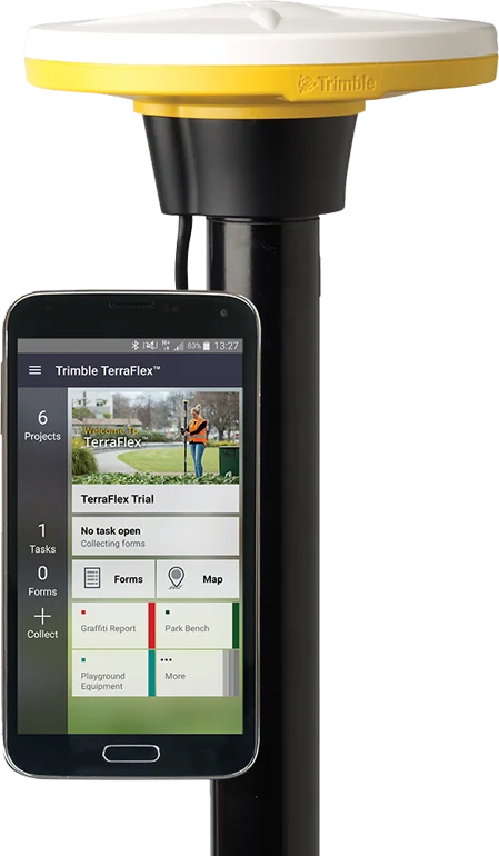
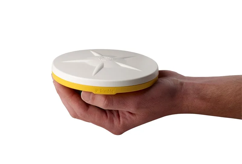
High-accuracy GNSS using the Trimble Catalyst service is built into your Catalyst plan, so there are no additional GNSS correction services to purchase, maintain, or configure.
Accuracy on demand: With enhanced performance and reliability, simply choose the Catalyst accuracy level to match your workflow—from 1 cm to 60 cm.
Trimble Corrections Hub: Included with your Catalyst subscription, the corrections hub provides simplified access to real-time corrections data around the world, and works online or offline.
Compatibility: Catalyst is fully supported on a wide range of both iOS and Android devices, so you can get the job done on your existing tablet, phone, or dedicated professional handheld devices.
TerraFlex Subscription
Choose your plan
Trimble TerraFlex subscriptions are available in monthly or annual billing, can be purchased for teams of any size.
Need a Quote?
We’ll Call You
Simply enter your contact details and one of our specialists will call you to discuss your requirements and provide a detailed quotation.
See the TerraFlex in Action
Watch Trimble TerraFlex in action and see how intuitive mobile data collection, cloud-based project management, and high-accuracy GNSS come together to simplify fieldwork and keep your teams connected from field to office.

Related Images

Need a Quote?
We’ll Call You
Simply enter your contact details and one of our specialists will call you to discuss your requirements and provide a detailed quotation.
Extend Your Capability with Related Devices
-

Trimble Penmap for Android
Trimble® Penmap® for Android™ is a powerful, yet incredibly straightforward, cloud-connected application for field surveying and high-accuracy GIS data collection.
-

Trimble SiteVision
Imagine if you could see things that are hidden or that don’t actually exist yet. With the Trimble® SiteVision™ outdoor augmented reality system you can.
-

Trimble HPS2
The Trimble® HPS2 handle combines the Trimble DA2 GNSS receiver with an EDM (electronic distance measurement).