LixelStudio
Point Cloud Processing Workstation for Lixel Scanners
Need a Quote?
We’ll Call You
Simply enter your contact details and one of our specialists will call you to discuss your requirements and provide a detailed quotation.

Transform Hours of Processing into Minutes
Automated Data Processing
Eliminate manual processing bottlenecks. Transform hours of complex workflows into minutes of automated processing with centimeter-level accuracy.
SLAM Mapping
One-Click Processing: Automated loop closure, dynamic object removal, coordinate transformation
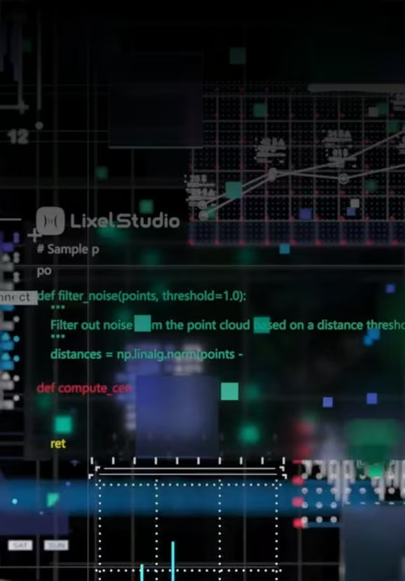
Map Fusion
Large-Area Mapping: Combine multiple scanning sessions with RTK, GCP, or connection points

PPK Support
Enhanced accuracy: PPK-enhanced SLAM improves global alignment and point cloud accuracy

Quality Control
Accuracy Verification: Automated check point analysis with statistical reporting

Measurement & Analysis Tools
Extract actionable insights from point cloud data. Make precise measurements and generate detailed analysis reports for confident decision-making.
Point Cloud Slicing
Sectioning Tools:
Horizontal/vertical slicing for floor plans and cross-sections

Point Cloud Slicing
Spatial Orientation: Coordinate-aware alignment with fine-tuning controls
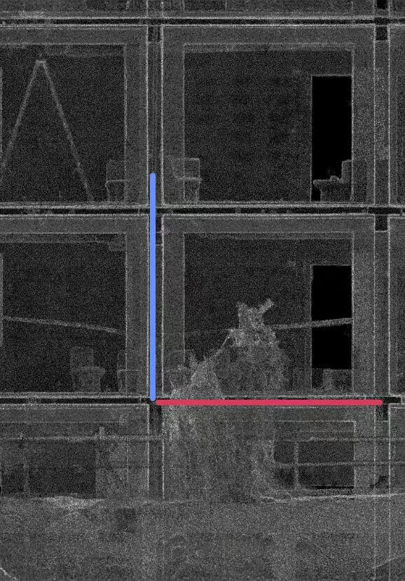
Measurement Suite
Comprehensive Tools:
Point, distance, area, angle measurements with imperial/metric units
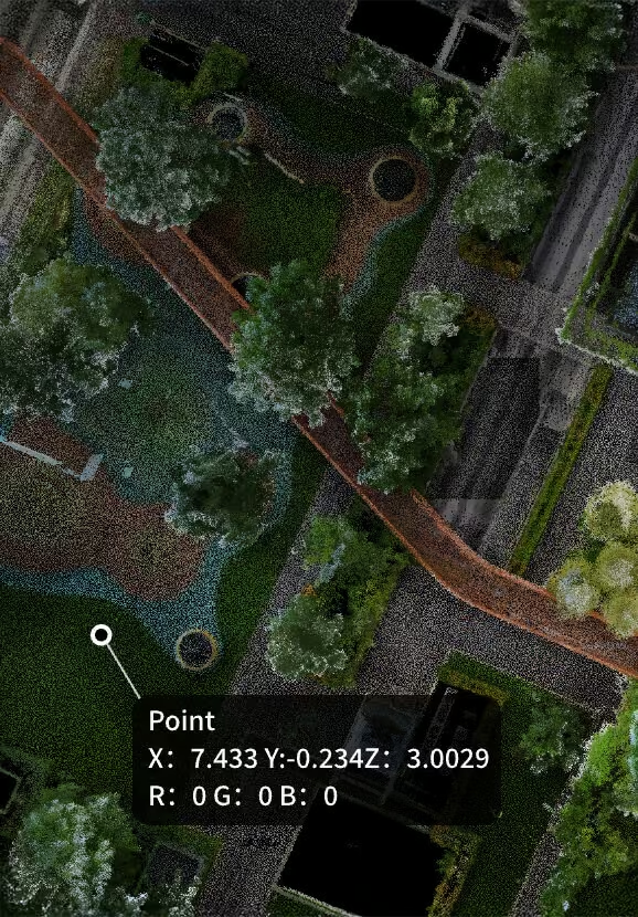
Panorama Overlay
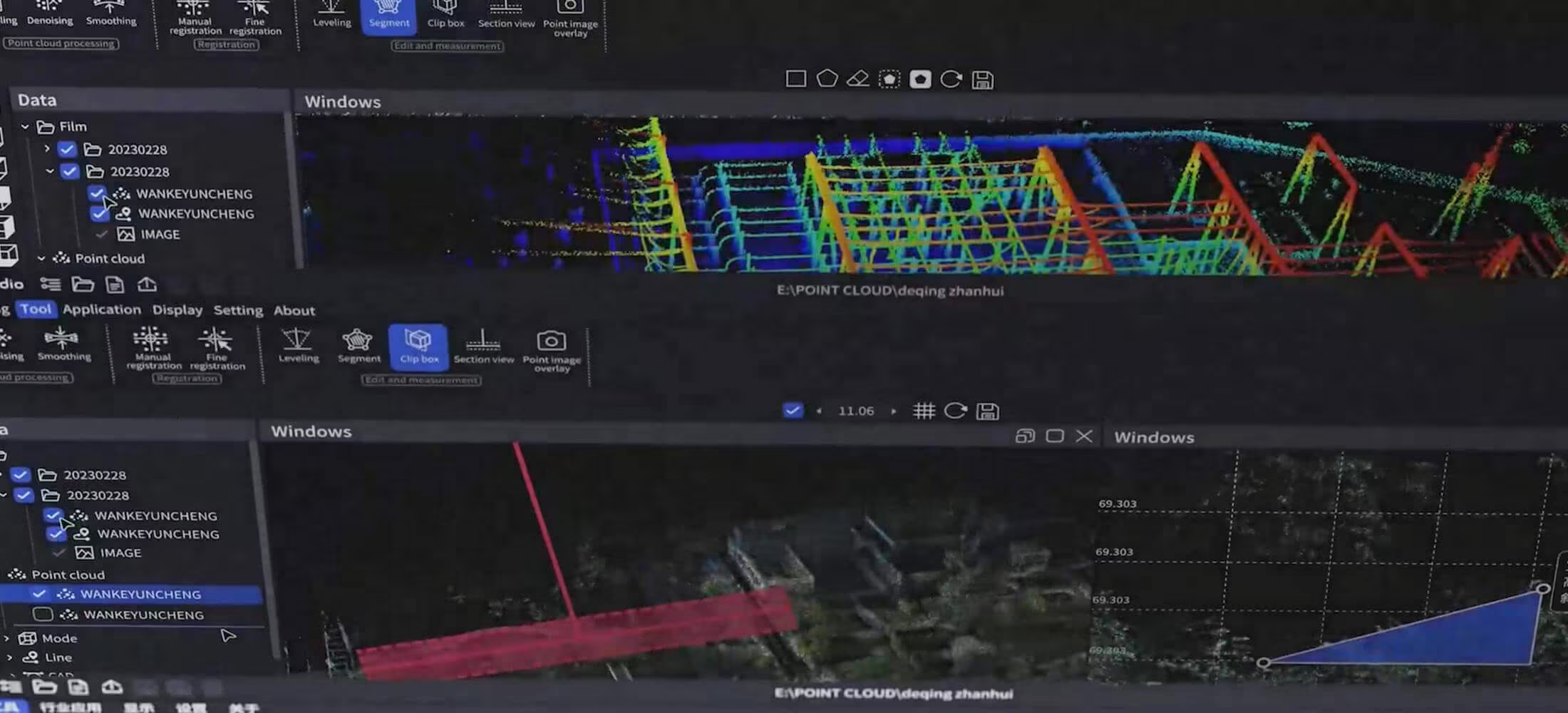
Synchronized point cloud and panoramic viewing with floor-by-floor navigation.
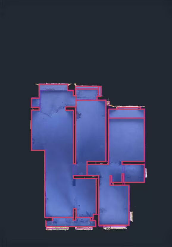
2D Drawing
Floor plan generation from point clouds, including smart 2D contour extraction.

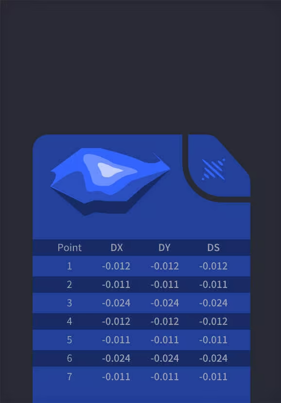
Volume Calculation
Stockpile Management: Single and comparison volume analysis with automated reporting
Professional Workflows
Seamlessly connect to existing systems. Deliver survey-grade results in industry-standard formats that integrate directly into BIM, CAD, and GIS workflows.
Remote Transmission
Real-time point cloud streaming and remote device control for K1/L2Pro devices with live collaboration capabilities.
-
Cloud service integration
-
Direct USB/WiFi connection
-
Remote start/stop control

Coordinate Systems
Global Standards: Built-in support for HK1980, JGD2011, CGCS2000, custom transformations
-
8+ built-in coordinate systems
-
7-parameter datum transformation
-
Geoid model integration

Export Formats
Industry Standards: LAS, E57, RCP, mesh generation for BIM and CAD platforms.
-
AutoCAD Recap compatibility
-
Structured E57 with panoramic images
-
Mesh generation (.obj, .osgb)

Need a Quote?
We’ll Call You
Simply enter your contact details and one of our specialists will call you to discuss your requirements and provide a detailed quotation.
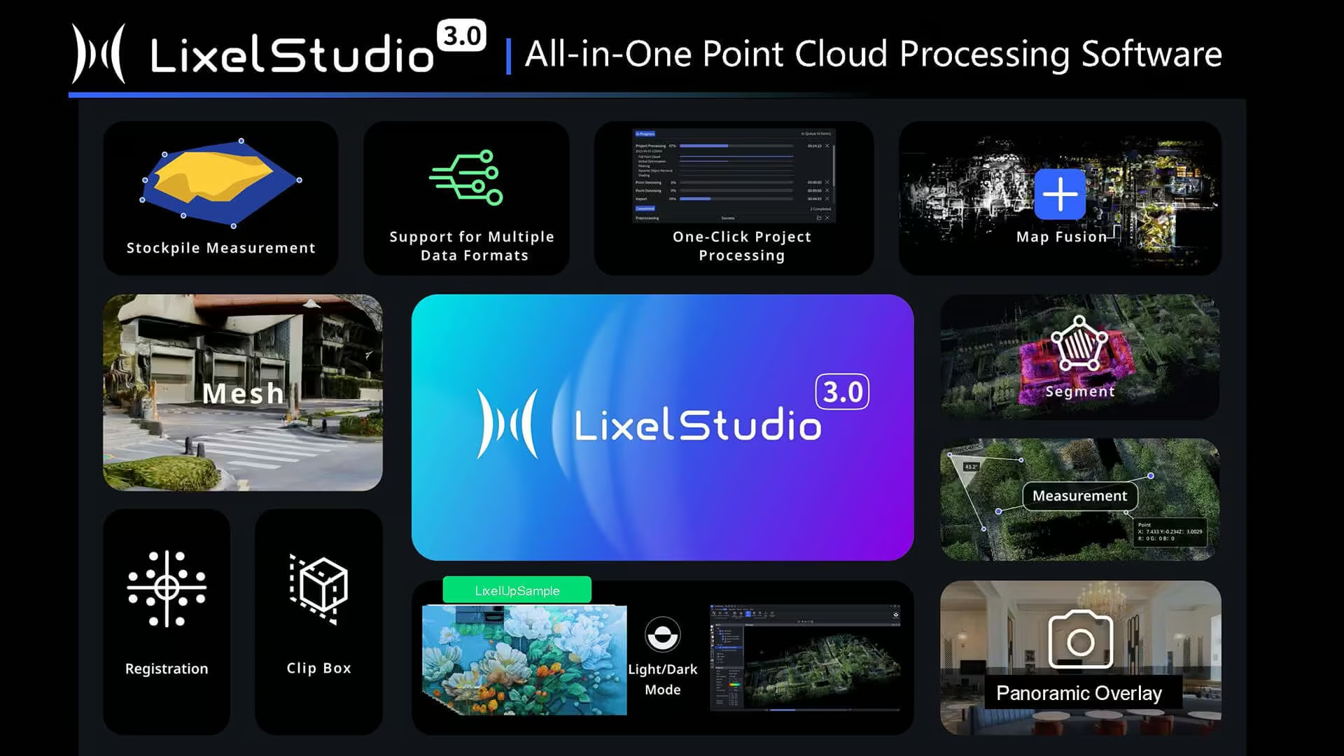
See the LixelStudio in Action
A visual walkthrough of LixelStudio’s automated processing, analysis tools, and professional outputs.



Need a Quote?
We’ll Call You
Simply enter your contact details and one of our specialists will call you to discuss your requirements and provide a detailed quotation.
-

PortalCam
PortalCam captures real spaces as photorealistic 3D worlds. Powered by 3D Gaussian Splatting, PortalCam turns any location into interactive spatial models you can walk through, edit, and share. -
LixelKity K1
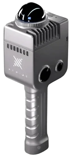
Tailored for professionals, small to medium-sized businesses and 3D enthusiasts, the LixelKity K1 offers a convenient solution for 3D capture and modelling. -

Lixel CyberColor
Create ultra-realistic large-scale environments and immersive experiences instantly, across multiple devices.