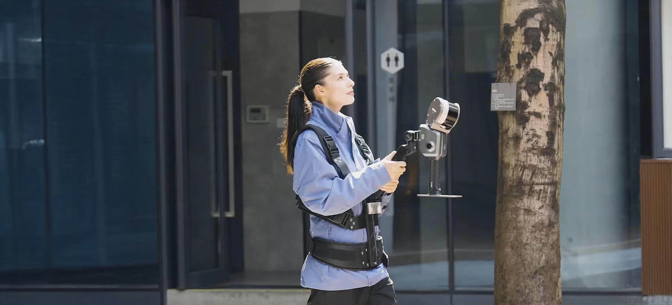
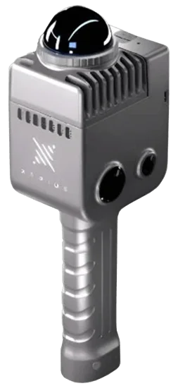
Lixel L2 Pro
Real-time scanning and modelling device
Need a Quote?
We’ll Call You
Simply enter your contact details and one of our specialists will call you to discuss your requirements and provide a detailed quotation.

Professional-Grade Real-Time Mapping and Modelling
The XGRIDS Lixel L2 Pro combines advanced LiDAR, dual 48 MP panoramic vision, a high-precision 6 DOF IMU, and Multi-SLAM joint optimisation to deliver real-time, true-colour point clouds with 1 mm point spacing, 1 cm relative accuracy and 3 cm absolute accuracy. Its rotating LiDAR and AI-enhanced SLAM processing ensure dense, accurate 3D data instantly ready for use in surveying, mapping, BIM and infrastructure workflows.

Rotating LiDAR
Provides full-scene coverage and dense point cloud capture, delivering consistent accuracy across complex indoor and outdoor environments.

Dual 48MP Panoramic Vision
Captures high-resolution panoramic imagery to generate true-colour point clouds with rich detail and realistic visual fidelity.

High-precision 6DOF IMU
Ensures accurate positioning and stable motion tracking, maintaining reliable data quality during continuous handheld scanning.
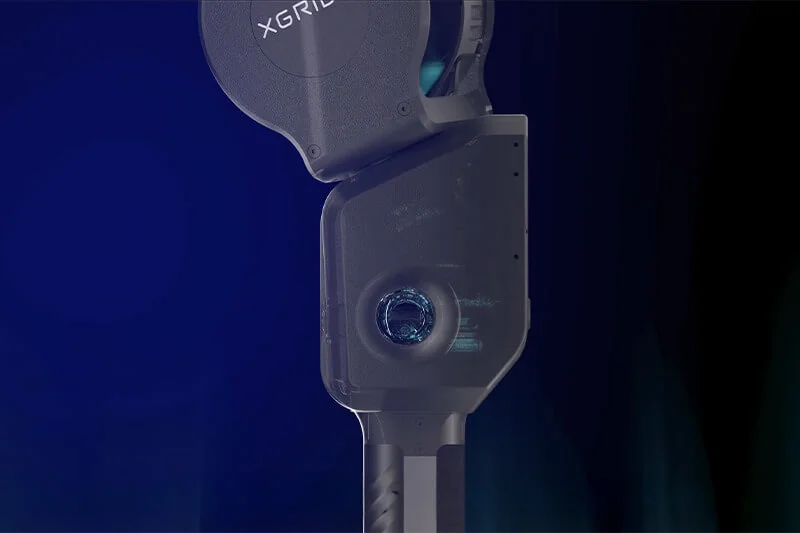
Multi-SLAM Joint Optimization
Fuses LiDAR, vision, and inertial data in real time to enhance stability, reduce drift, and improve overall reconstruction accuracy.
1mm Point Cloud Spacing
1cm Relative Accuracy
3cm Real-time Absolute Accuracy
Real-time True Colour Point Coud
The real-time colouring effect rivals post-processing quality
LixelKity K1 delivers fast, accurate spatial data across a wide range of surveying and mapping applications. From large-area terrain capture to smart infrastructure planning, it supports efficient fieldwork and dependable results where precision matters.

L2 (Real-time output)

L2 Pro (Real-time output)
-
Absolute Vertical Accuracy: 3cm
-
Absolute Horizontal Accuracy: 3cm
-
Relativet Accuracy: 2cm

L2 (Post-processed)
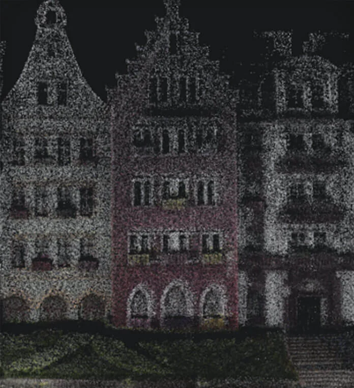
L2 (Real-time output)
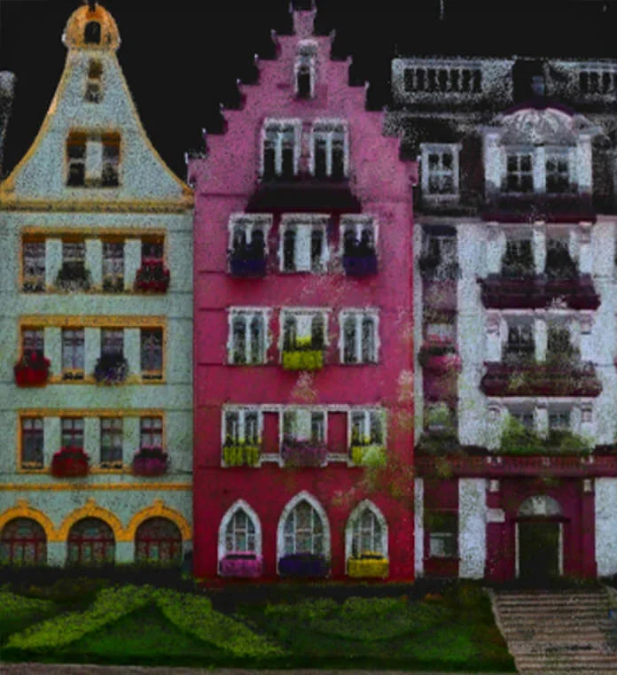
L2 (Post-processed)
L2 Pro (Real-time output)
-
Absolute Vertical Accuracy: 3cm
-
Absolute Horizontal Accuracy: 3cm
-
Relativet Accuracy: 2cm
Capture Accurate 3D Data in Real Time
Lixel L2 Pro delivers spatial data with absolute coordinate precision as you scan. Powered by the LixelUpSample™ algorithm, it enables immediate mapping, planning, and workflow integration without waiting for post-processing.
Real-time data with absolute coordinates
Capture precise 3D data instantly with LixelUpSample™ technology, providing absolute coordinate accuracy for reliable mapping and immediate workflow integration.
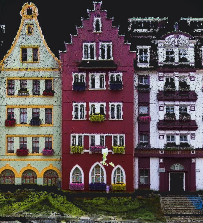
Generating photo-quality colour point clouds
Produce dense point clouds at 1 million points per square meter with 1 mm spacing, preserving every detail for high-precision surveying and modelling.
Ultra-high colouring accuracy for photo-quality color point clouds
Deliver visually true 3D models with 5 mm point cloud thickness and accurate color representation, ideal for mapping, line drawing, and realistic visualization.
Reliable SLAM for complex environments
Exclusive Multi-SLAM algorithm enhances adaptability and reliability in challenging environments:
Provides continuous absolute coordinates in satellite-signal-limited areas like indoors or underground. Ensures stable mapping in degraded environments such as subways and tunnels
A seamless, user-friendly, and reliable workflow
Lixel L2 Pro streamlines every step of 3D scanning with a seamless, user-friendly workflow. Generate precision verification reports, connect directly to your phone, and mark GCPs in one click—making accurate, high-quality spatial data easier and faster than ever.
Need a Quote?
We’ll Call You
Simply enter your contact details and one of our specialists will call you to discuss your requirements and provide a detailed quotation.
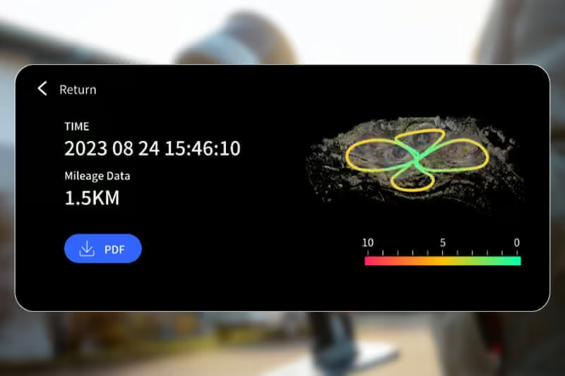
Precision verification report

Direct phone connection

One-click GCP marking process
Practical Solutions for Real-World Surveying
LixelKity K1 delivers fast, accurate spatial data across a wide range of surveying and mapping applications. From large-area terrain capture to smart infrastructure planning, it supports efficient fieldwork and dependable results where precision matters.

Topographical Mapping
Capture terrain and elevation data quickly with high-density point clouds, supporting accurate mapping, planning, and land analysis.

Agricultural & Forestry Survey
Efficiently document fields, crops, and forest environments with portable scanning that delivers reliable spatial insights for management and monitoring.

Smart City
Collect detailed 3D data for urban infrastructure, supporting planning, asset management, and data-driven city development.

Engineering Survey
Perform precise site surveys and as-built documentation with real-time visualisation to support design, construction, and validation workflows.

See the Lixel L2 Pro in Action
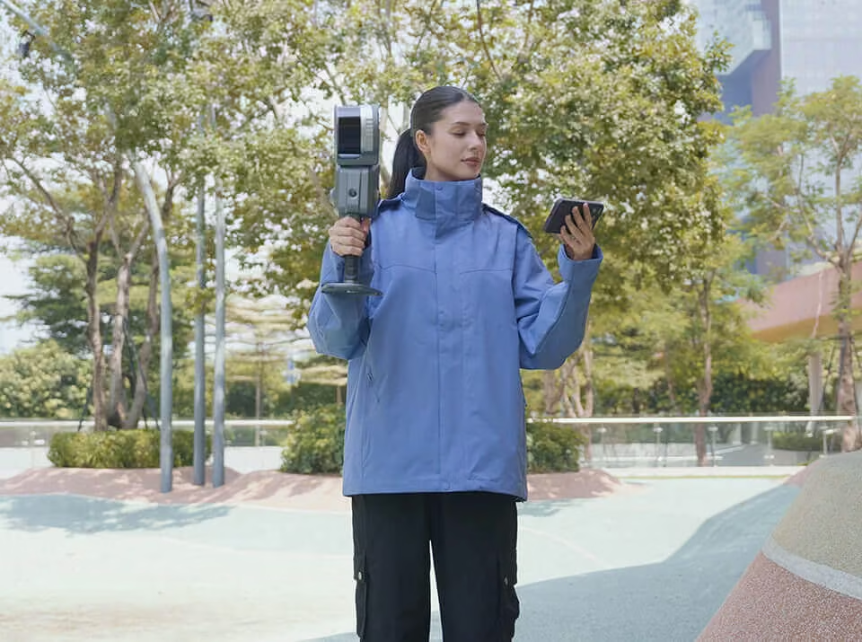
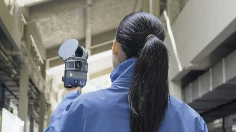
Watch the Lixel L2 Pro capture ultra-dense, photo-realistic 3D point clouds in real time, transforming complex environments into precise, actionable spatial data.

Related Images




Need a Quote?
We’ll Call You
Simply enter your contact details and one of our specialists will call you to discuss your requirements and provide a detailed quotation.
-

PortalCam
PortalCam captures real spaces as photorealistic 3D worlds. Powered by 3D Gaussian Splatting, PortalCam turns any location into interactive spatial models you can walk through, edit, and share. -
LixelKity K1
Tailored for professionals, small to medium-sized businesses and 3D enthusiasts, the LixelKity K1 offers a convenient solution for 3D capture and modelling. -

Lixel CyberColor
Create ultra-realistic large-scale environments and immersive experiences instantly, across multiple devices.
