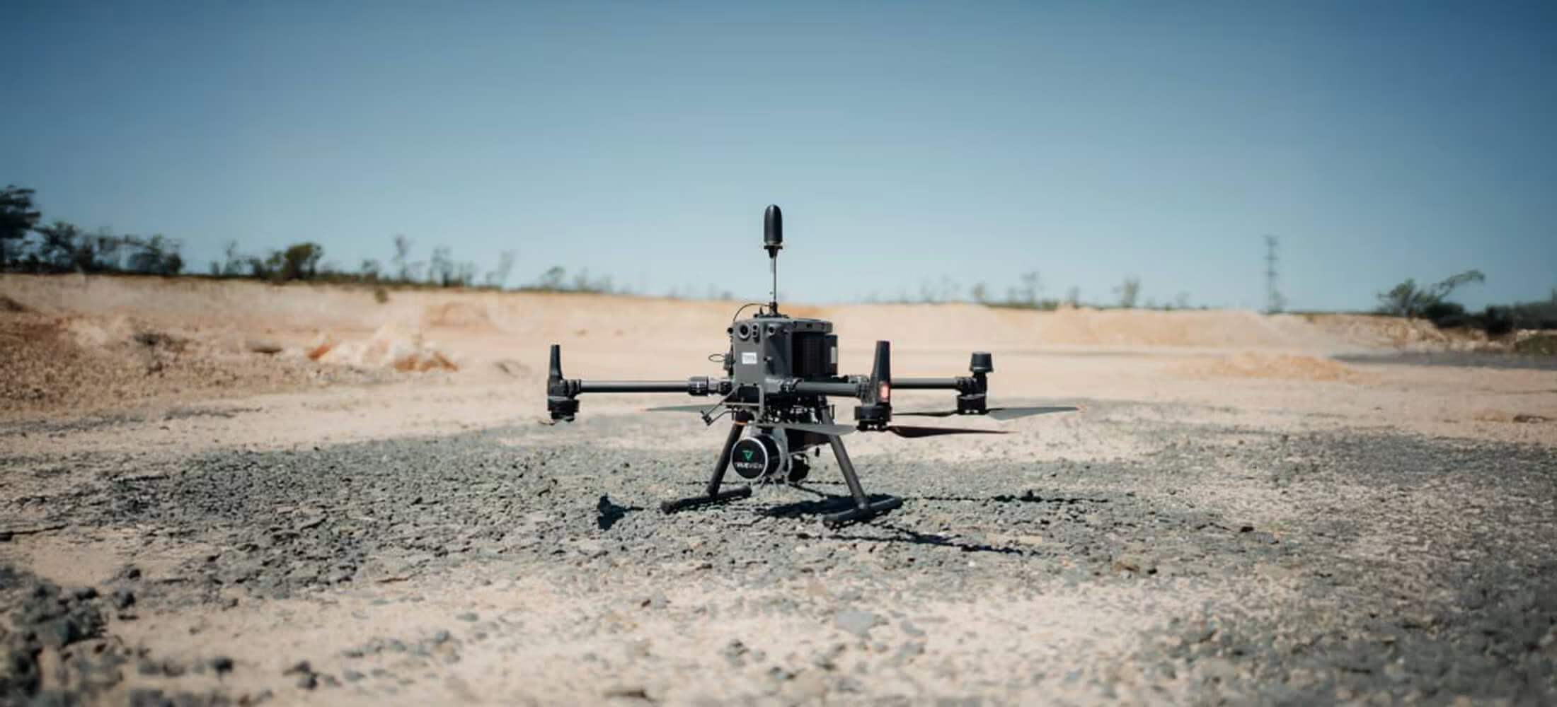
TrueView 3DIS Rental
Explore drone LIDAR at low risk and low cost
Drone LIDAR is becoming a necessary addition to the survey mapping industry. However, the cost of drone LIDAR hardware and software tools can be a barrier to entry. GeoCue’s True View 3DIS rental program provides easy access to the drone LIDAR/ imagery arena.
Need a Quote?
We’ll Call You
Simply enter your contact details and one of our specialists will call you to discuss your requirements and provide a detailed quotation.
Access the Full TrueView 3DIS System on Your Terms
This rental program provides the complete TrueView 3DIS solution, including professional training and ongoing support, so you can deploy with confidence from day one. With flexible rental periods starting from just one month, you can scale your LiDAR capability to match project demands. And if a long-term investment makes sense later, upgrading to a permanent system is simple and seamless.
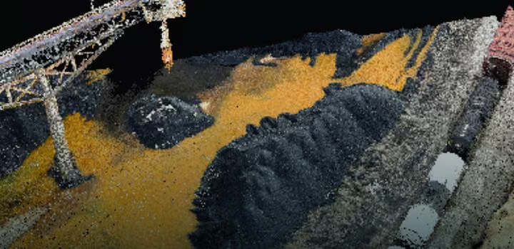

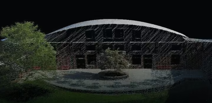

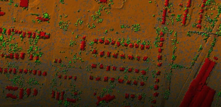

Everything You Need for Seamless Deployment
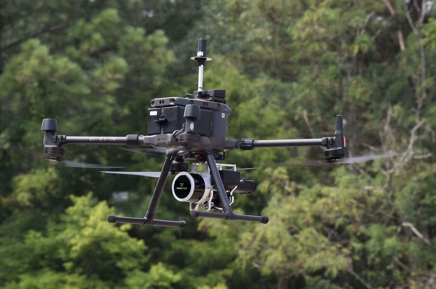
The TrueView 515 is delivered as a complete, field-ready solution designed to simplify setup, data capture, and processing. Each system includes the 3D LiDAR payload, dedicated battery and charger, GNSS antenna, secure transport hardcase, USB data drive, and LP360 Drone processing software. Every component is carefully integrated to ensure a smooth transition from field acquisition to accurate, high-quality deliverables.
Need a Quote?
We’ll Call You
Simply enter your contact details and one of our specialists will call you to discuss your requirements and provide a detailed quotation.
Mounting Kit for M600 / M300 drone
GNSS Antenna
Sensor Hardcase
LP360 Drone Processing Software
LP360 Cloud
Considerations for Drone LiDAR Rental
-
Pay as you go model means less up-front cash
-
Great for companies who are only occasionally doing drone mapping
-
Short subscription periods are an excellent way to “test the waters” of drone mapping
-
The True View Point system makes allocation of expenses to direct project cost a simple formula
-
Easily scalable for varying workloads (surge capacity) since you can add a sensor for as little as a one-month commitment
TrueView Applications
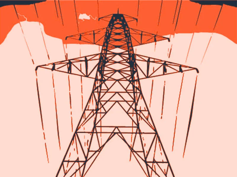
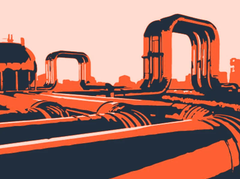
Utilise True View’s 3D Imaging Systems for a full range of applications.

Mining

Infrastructure

Land Development

Construction
Utilities
Inspection
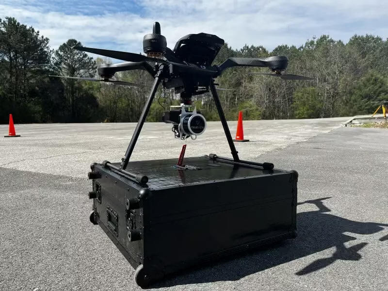
View the TrueView 515 in Action
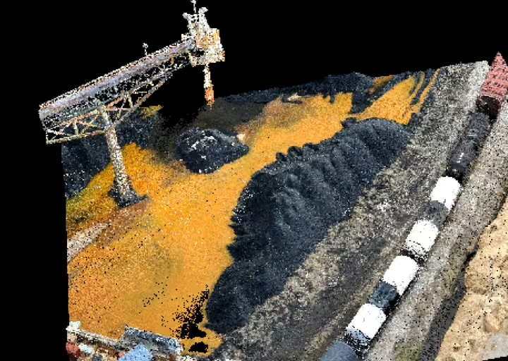
See the TrueView 515 in action through images that showcase its precision, versatility, and performance in real-world survey operations.




Need a Quote?
We’ll Call You
Simply enter your contact details and one of our specialists will call you to discuss your requirements and provide a detailed quotation.
-

TrueView 540
The TrueView 540 Sets a New Standard for Accuracy and Quality in the 500 Series – making high-end LiDAR more accessible than ever. -

TrueView 535
TrueView 535 3D Imaging System with Dual Drone and optional Mobile Mapping capability builds upon the success of our best-selling TrueView 515. -

TrueView 515
GeoCue’s TrueView® 515 is simply the best performing LiDAR/Camera system in the mid price range.