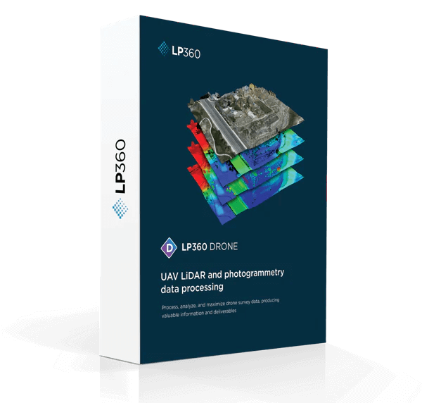
LP360 Drone
Process, analyse, and maximize drone survey data, producing valuable information and deliverables.
Need a Quote?
We’ll Call You
Simply enter your contact details and one of our specialists will call you to discuss your requirements and provide a detailed quotation.
From Raw UAV Data to Actionable Geospatial Intelligence
LP360 Drone streamlines the entire post-processing workflow, from transforming raw LiDAR and imagery data into accurate, quality-controlled point clouds to analysing and extracting meaningful insights. With a comprehensive set of geospatial tools, you can generate industry-ready deliverables and confidently deploy your processed data for decision-making, reporting, or client handover.
Create Point Clouds From Uav Raw Data
Transform and quality control LiDAR and image data collected from your drone survey equipment.
Process, Analyse And Extract Value
Use an extensive toolbox of geospatial tools for deriving products that serve multiple industries and applications.

Put Your Data To Work
Deploy your accurate and fully processed data into actionable results or share with customers.
Enjoy a more user-friendly experience!
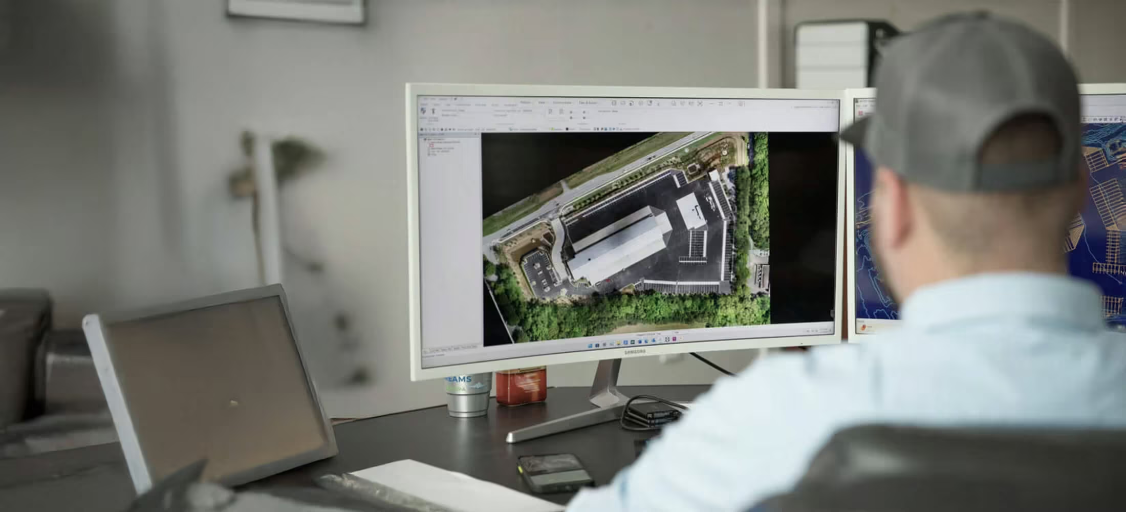
The new LP360 Graphical User Interface (GUI) makes it easier and more streamlined to complete your data processing and generate high-quality deliverables in an intuitive GIS environment. We have introduced Ribbons, and most importantly the ability to create your own custom ribbon and toolbar to match your specific workflow.
Need a Quote?
We’ll Call You
Simply enter your contact details and one of our specialists will call you to discuss your requirements and provide a detailed quotation.
Seamless Data Processing Across Varied LiDAR Sources.
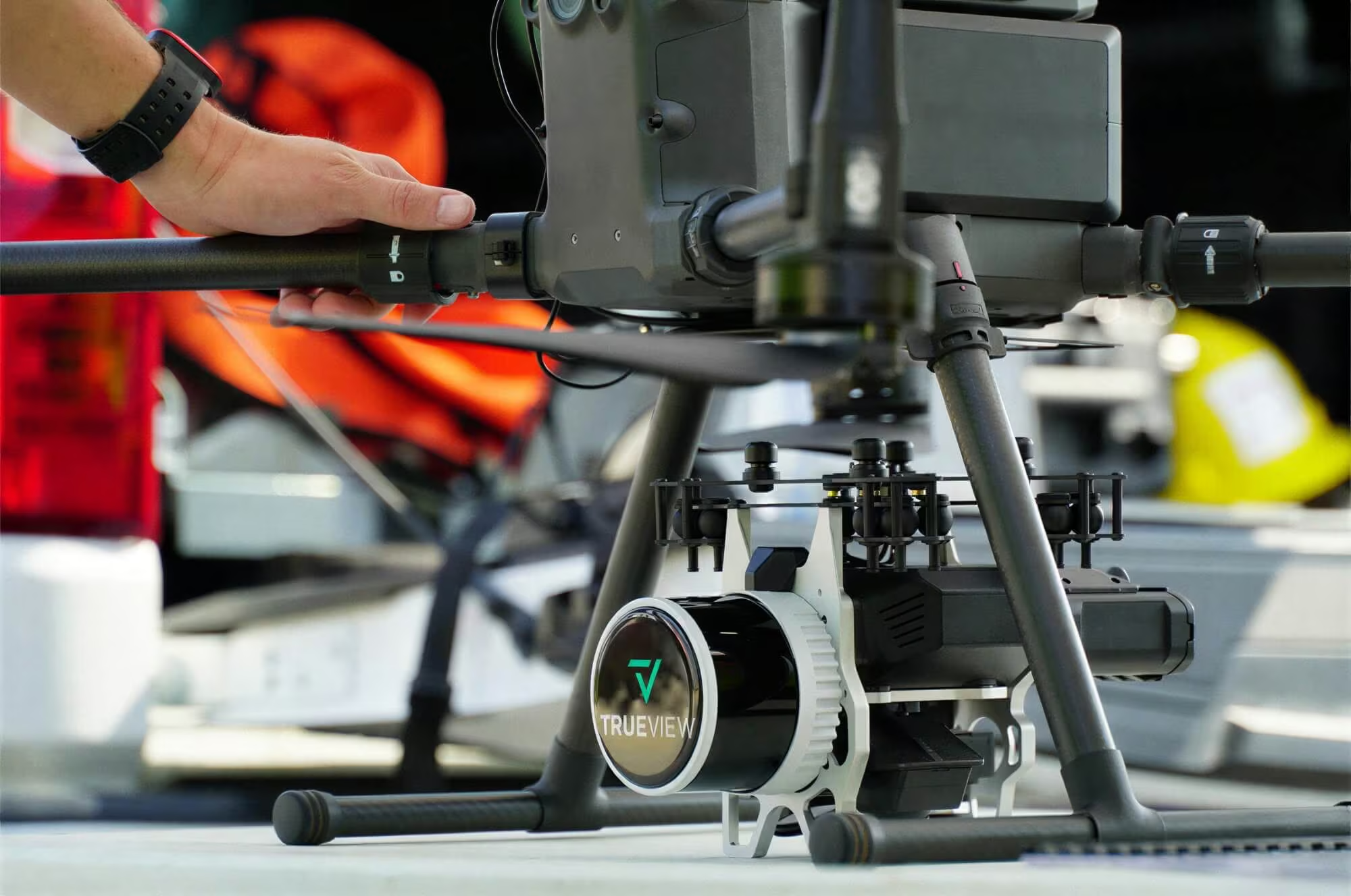
Drone LiDAR and photo processing workflow made simple
LP360 Drone streamlines LiDAR and imagery processing with an intuitive workflow designed for efficiency in the field and office. Easily manage multi-flight datasets, integrate your results within a GIS environment, and visualise point clouds in synchronized windows for detailed analysis and confident decision-making.
Need a Quote?
We’ll Call You
Simply enter your contact details and one of our specialists will call you to discuss your requirements and provide a detailed quotation.
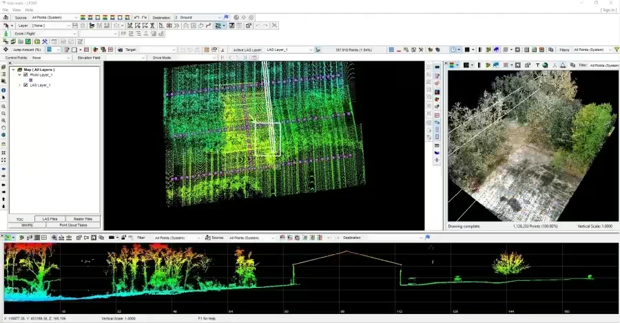
It’s now easier to find the tools in the organized ribbon tabs:
-
Intuitive workflow
-
Multi-flight import and processing
-
GIS interface allowing combination with other geospatial data
-
Powerful point cloud visualization with multiple and synchronized windows
Get the most out of your L1 & L2 Data with LP360 Drone
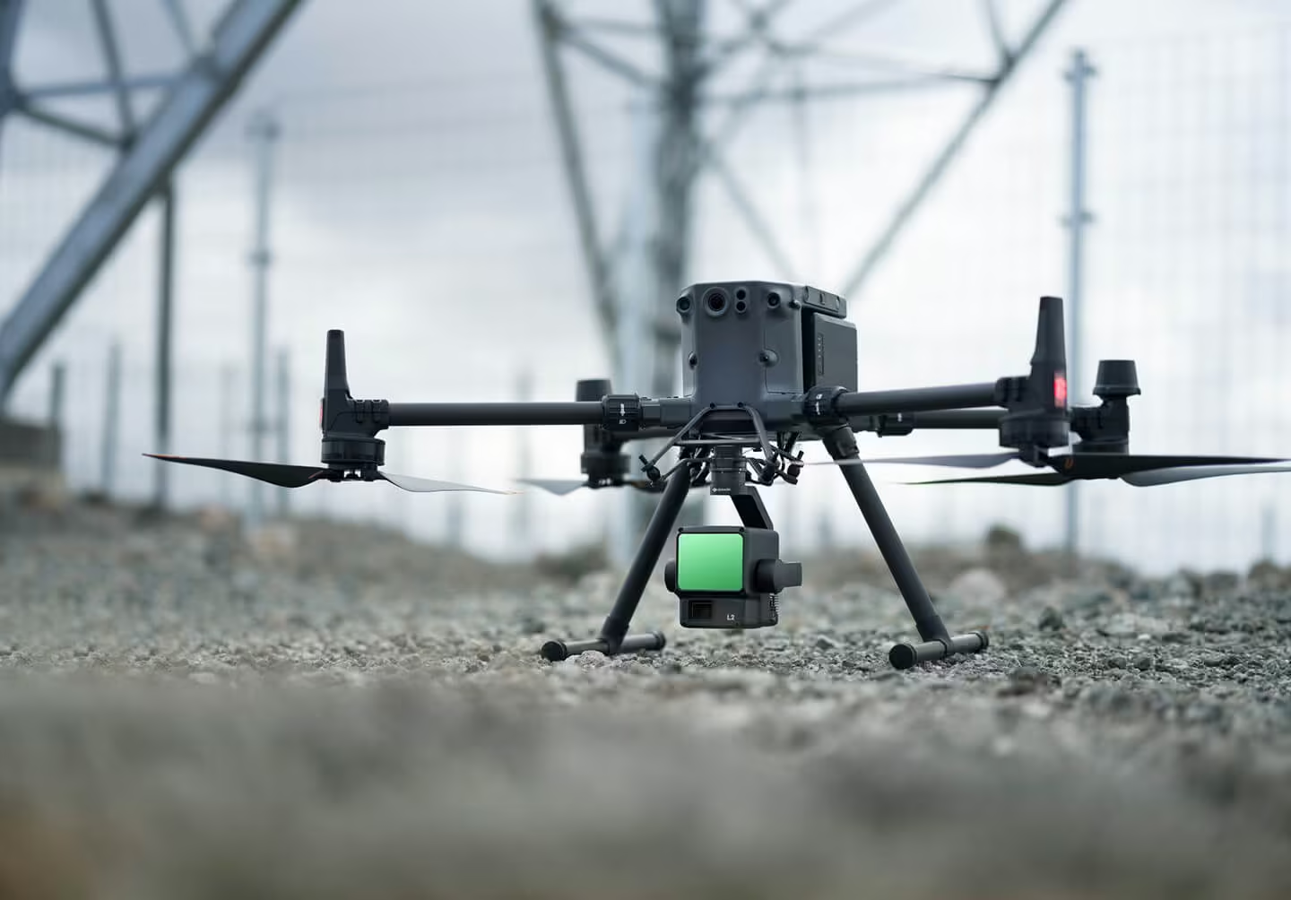
DJI L1 and L2 are supported sensors and can be processed with LP360 Drone:
-
Manage your coordinate system (geoid, grid to ground, local site, datum and epoch change)
-
Leverage LP360 powerful 3 synchronized viewing windows and Image Explorer tool
-
QC/QA your data with Automatic Ground Control Detection and 3D Correction
-
Access all the other advanced tools of LP360 Drone such as Smoothing, Automated Outlier Removal, Automatic Classification, Break lines, DTM and Contour Generations, export to CAD formats, volumetric calculations, powerlines encroachment tools and much more
-
Customize / define your own workflow with the new GUI
-
Go further with unique LP360 Cloud extension (optional add-on) to store, search, share and stream your data with any LP360 Desktop
Manage your coordinate systems
LP360 Drone provides robust tools for managing coordinate systems with accuracy and flexibility. Select from an extensive library of projections, perform datum transformations including epoch changes, and easily reproject datasets as required. Local site calibration and grid-to-ground adjustments ensure your data aligns precisely with project specifications and real-world conditions.
Need a Quote?
We’ll Call You
Simply enter your contact details and one of our specialists will call you to discuss your requirements and provide a detailed quotation.
-
Extensive list of coordinate systems available
-
Allow datum transformation including epoch change
-
Allow reprojection
-
Local site calibration
-
Grid to ground
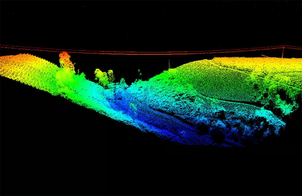
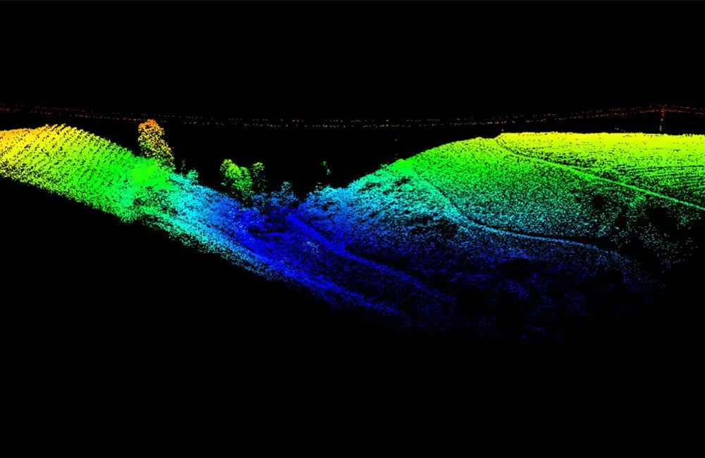
Improve the viewing experience to see all the details that you need
When an LPLAS file is opened in LP360, you enjoy the added functionality of this optimized viewing. In addition, you can open your library of LAS files in LP360, convert them to LPLAS, and breathe new life into your old datasets with enhanced viewing!
Leverage your photos with Drone Image Explorer tool
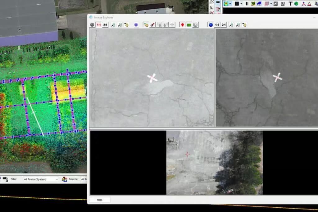
The Drone Image Explorer tool allows you to fully utilise your aerial imagery alongside LiDAR data. Quickly navigate and explore image datasets, identify conjugate images for validation, and perform accurate measurements directly within your photos to support detailed analysis and reporting.
Need a Quote?
We’ll Call You
Simply enter your contact details and one of our specialists will call you to discuss your requirements and provide a detailed quotation.
-
Explore your data
-
Find conjugate images
-
Make true measurement on your photos
Simplify workflows into CAD software
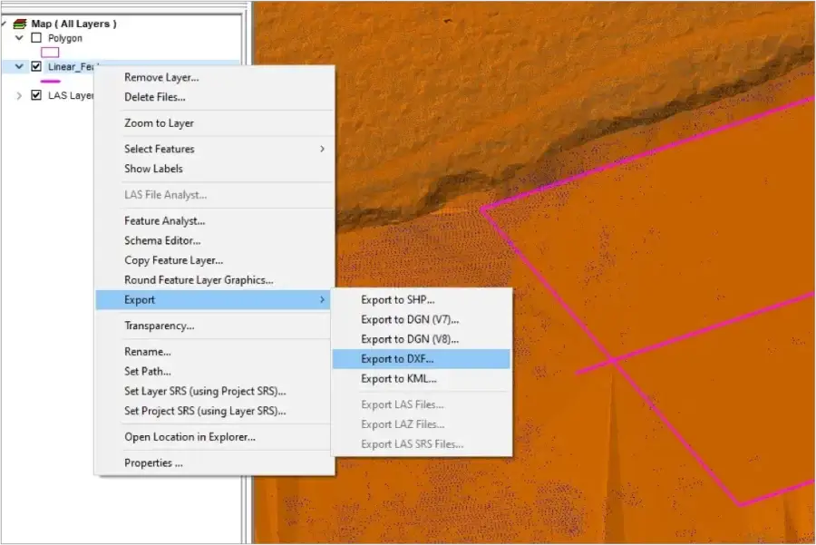
LP360 Drone simplifies the transition from point cloud to CAD. Generate and validate breaklines to enhance surfaces, reduce datasets for efficient handling, and export your processed data in multiple CAD formats, ensuring seamless integration into your design and engineering workflows.
-
Generate and validate breaklines, enhancing surface for CAD applications
-
Reduce dataset for CAD applications
-
Export data into CAD software with various CAD formats available
automated horizontal and vertical checks and corrections of the point cloud
Achieve precise 3D accuracy with automated horizontal and vertical checks and corrections for your point clouds. Transform check point coordinates into your project system automatically, detect 3D targets with “AutoTarget,” and calculate corrections for any target type. Apply adjustments seamlessly across your dataset, compatible with Accuracy Star ground control, checkboards, or concentric targets, reducing manual effort and improving reliability.
Need a Quote?
We’ll Call You
Simply enter your contact details and one of our specialists will call you to discuss your requirements and provide a detailed quotation.
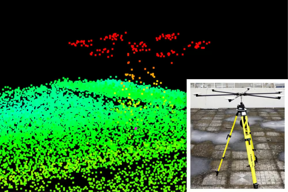
Automated horizontal and vertical checks remove the need for manual interaction
-
Automatically transform your check point coordinates into you project coordinates including datum and epoch
-
“AutoTarget” – Automatically find a 3D target on a drone dataset
-
Calculation of correction for any 3D target
-
Seamless workflow to apply the correction on the point cloud
-
Use with Accuracy Star ground control equipment, as well as checkboards or concentric targets.
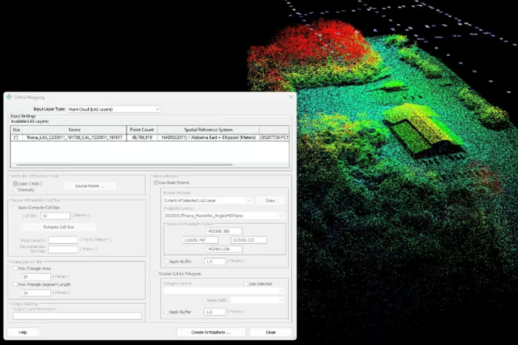
LP360 Photo Add-On
-
Ultra-fast ortho mapping from a point cloud
-
Create your orthophoto backdrop in a completely integrated workflow
-
Efficient fast processing
-
Export photo package to your 3rd party Photogrammetry software
-
Support most common 3rd party sensors (DJI Mavic 3E, DJI Phantom 4 RTK and DJI Zenmuse P1)
More options to export your data
Requested by many users, we now offer export to LANDXML data file format, containing civil engineering and survey measurement data commonly used in the Land Development and Transportation Industries, so you can continue your work in a CAD environment.

High-Quality Deliverables from LP360 Drone
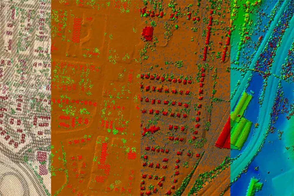
LP360 Drone enables you to generate accurate, professional-grade deliverables from UAV LiDAR and imagery data.
Contours
Automatic Ground Classification
Volumetric Analysis
Digital Elevation Models
Transmission Line Modeling
Need a Quote?
We’ll Call You
Simply enter your contact details and one of our specialists will call you to discuss your requirements and provide a detailed quotation.
-

TrueView 540
The TrueView 540 Sets a New Standard for Accuracy and Quality in the 500 Series – making high-end LiDAR more accessible than ever. -

TrueView 535
TrueView 535 3D Imaging System with Dual Drone and optional Mobile Mapping capability builds upon the success of our best-selling TrueView 515. -

TrueView 515
GeoCue’s TrueView® 515 is simply the best performing LiDAR/Camera system in the mid price range.