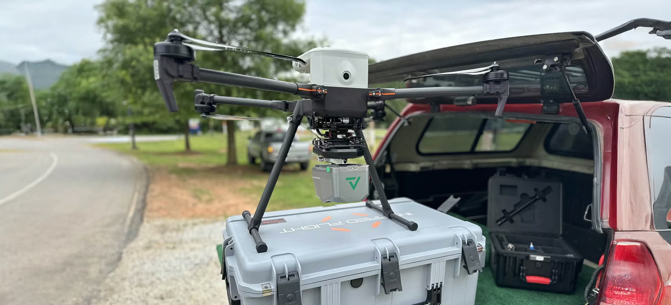
TrueView 540
A new standard for Accuracy and Quality.
The TrueView 540 Sets a New Standard for Accuracy and Quality in the 500 Series – making high-end LiDAR more accessible than ever. This next generation of LiDAR elevates our mid-range sensor line, offering enhanced density, improved accuracy, and precision, thereby producing a superior point cloud. The TrueView 540 provides users with an Engineering grade sensor powered by LP360 at a mid-range price, marking a significant advancement in LiDAR accessibility and performance.
Need a Quote?
We’ll Call You
Simply enter your contact details and one of our specialists will call you to discuss your requirements and provide a detailed quotation.

The TrueView 540 Sets a New Standard for Accuracy and Quality in the 500 Series, Making High-end LiDAR More Accessible Than Ever
GeoCue and CHC Navigation bring the most efficient and flexible high-end LiDAR to North America with the new TrueView 540. This next generation of LiDAR elevates our mid-range sensor line, offering enhanced density, improved accuracy, and precision, thereby producing a superior point cloud. The TrueView 540 provides users with a Engineering grade sensor powered by LP360 at a mid-range price, marking a significant advancement in LiDAR accessibility and performance.
| Specification | Value |
|---|---|
| Data Collection | LiDAR + Imagery |
| Laser Scanner | CHCNAV single beam laser scanner – 1535 nm wavelength |
| LiDAR Range – Usable | 400 m for targets with > 20% reflectivity |
| LiDAR Returns | Up to 8 |
| Positioning and Orientation System | CHC |
| Pulse Repetition Rate | Up to 500 kHz |
| Scanner Performance |
|
| GNSS/INS Performance |
|
| System Performance | The TV540 incorporates CHC’s PPK navigation solution combined with the scanner’s 5 mm repeated ranging accuracy, the system achieves exceptional absolute accuracy from 2 to 5 cm. |
| Camera Sensor | 45 MP Global Shutter Full frame Camera |
| System Operation Temperature Range | -20° to 50° C |
| Mass |
|
Built for Complex Survey Environments
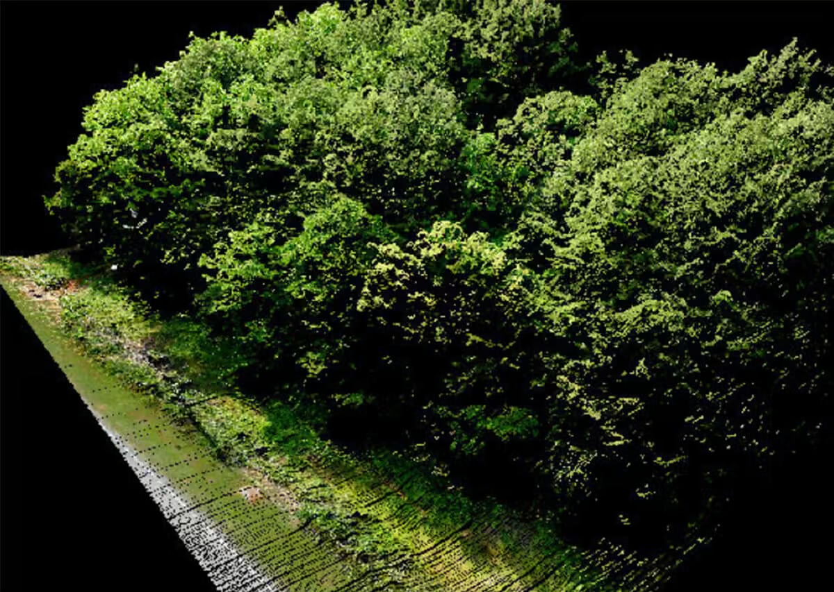
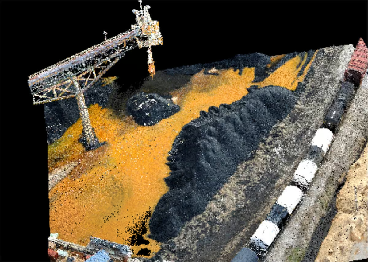
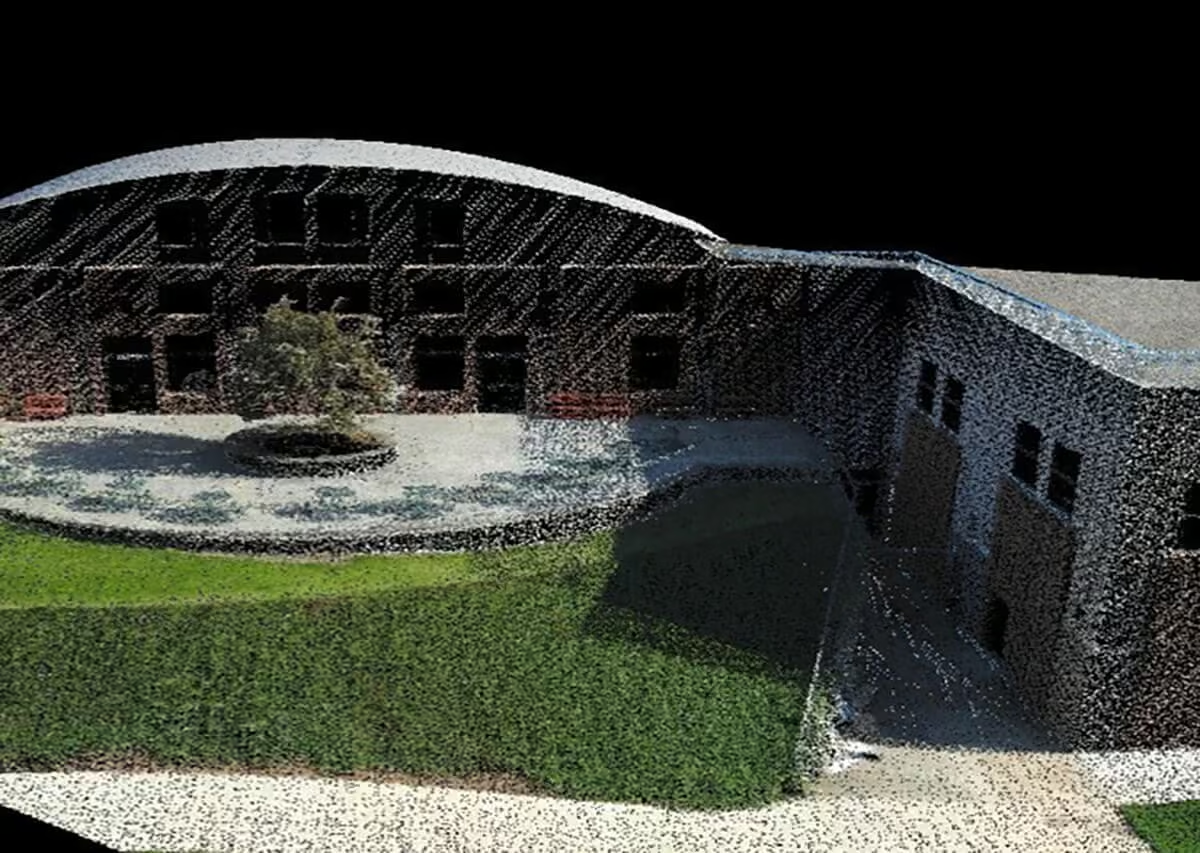
From heavily vegetated terrain to industrial stockpiles and vertical infrastructure, the system is engineered to perform in demanding conditions. Advanced ground-point extraction enables accurate terrain modelling beneath dense canopy, while reliable volumetric calculations support efficient stockpile measurement and management. Its ability to capture detailed structural geometry also makes it ideal for precise 3D modelling of buildings, towers, and other vertical assets.
Need a Quote?
We’ll Call You
Simply enter your contact details and one of our specialists will call you to discuss your requirements and provide a detailed quotation.
Everything You Need for Seamless Deployment
The TrueView 515 is delivered as a complete, field-ready solution designed to simplify setup, data capture, and processing. Each system includes the 3D LiDAR payload, dedicated battery and charger, GNSS antenna, secure transport hardcase, USB data drive, and LP360 Drone processing software. Every component is carefully integrated to ensure a smooth transition from field acquisition to accurate, high-quality deliverables.
TrueView 515 3D LiDAR Payload
TrueView Battery & Battery Charger
USB Thumbdrive
GNSS Antenna
Sensor Hardcase
LP360 Drone Processing Software
FLEX Offers Affordable Pricing and Flexible Software Subscription for GeoCue’s TrueView 515, 535, and 540.
GeoCue proudly presents FLEX, an innovative sales model designed to bring unprecedented flexibility and affordability to the TrueView 515, 535, and 540 3D Imaging Systems. FLEX provides users the opportunity to acquire TrueView payloads at an attractive price while introducing a simplified and efficient yearly subscription model for LP360 software.
Need a Quote?
We’ll Call You
Simply enter your contact details and one of our specialists will call you to discuss your requirements and provide a detailed quotation.
Why Choose FLEX?
TrueView Rental Option
Explore Drone LIDAR at Low Risk and Low Cost The TrueView 515 3D Imaging System is available under our rental offering!
This unique business model allows customers to acquire a True View 3DIS under a rental model for periods as short as 1 month! This is an excellent model for seasonal use and surge capacity.
Need a Quote?
We’ll Call You
Simply enter your contact details and one of our specialists will call you to discuss your requirements and provide a detailed quotation.
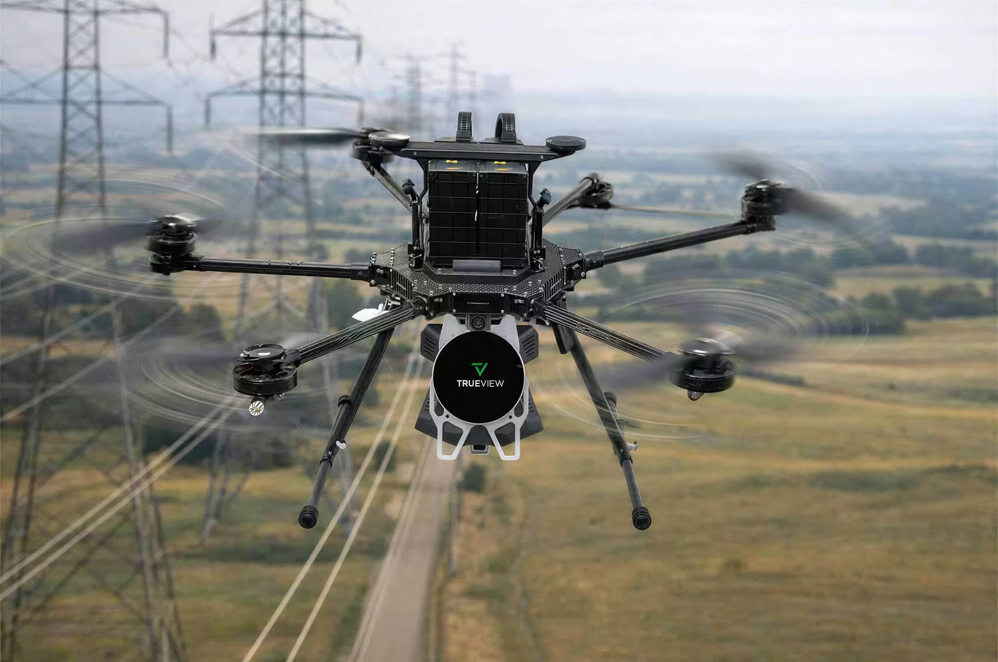
TrueView Applications
Utilise True View’s 3D Imaging Systems for a full range of applications.

Mining

Infrastructure

Land Development

Construction

Utilities
Inspection
View the TrueView 515 in Action
See the TrueView 515 in action through images that showcase its precision, versatility, and performance in real-world survey operations.


Need a Quote?
We’ll Call You
Simply enter your contact details and one of our specialists will call you to discuss your requirements and provide a detailed quotation.
-
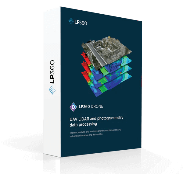
LP360 Drone
LP360 is a powerful software suite designed to efficiently process data from any system including UAVs, airborne, and mobile platforms. -

TrueView 535
TrueView 535 3D Imaging System with Dual Drone and optional Mobile Mapping capability builds upon the success of our best-selling TrueView 515. -

TrueView 515
GeoCue’s TrueView® 515 is simply the best performing LiDAR/Camera system in the mid price range.