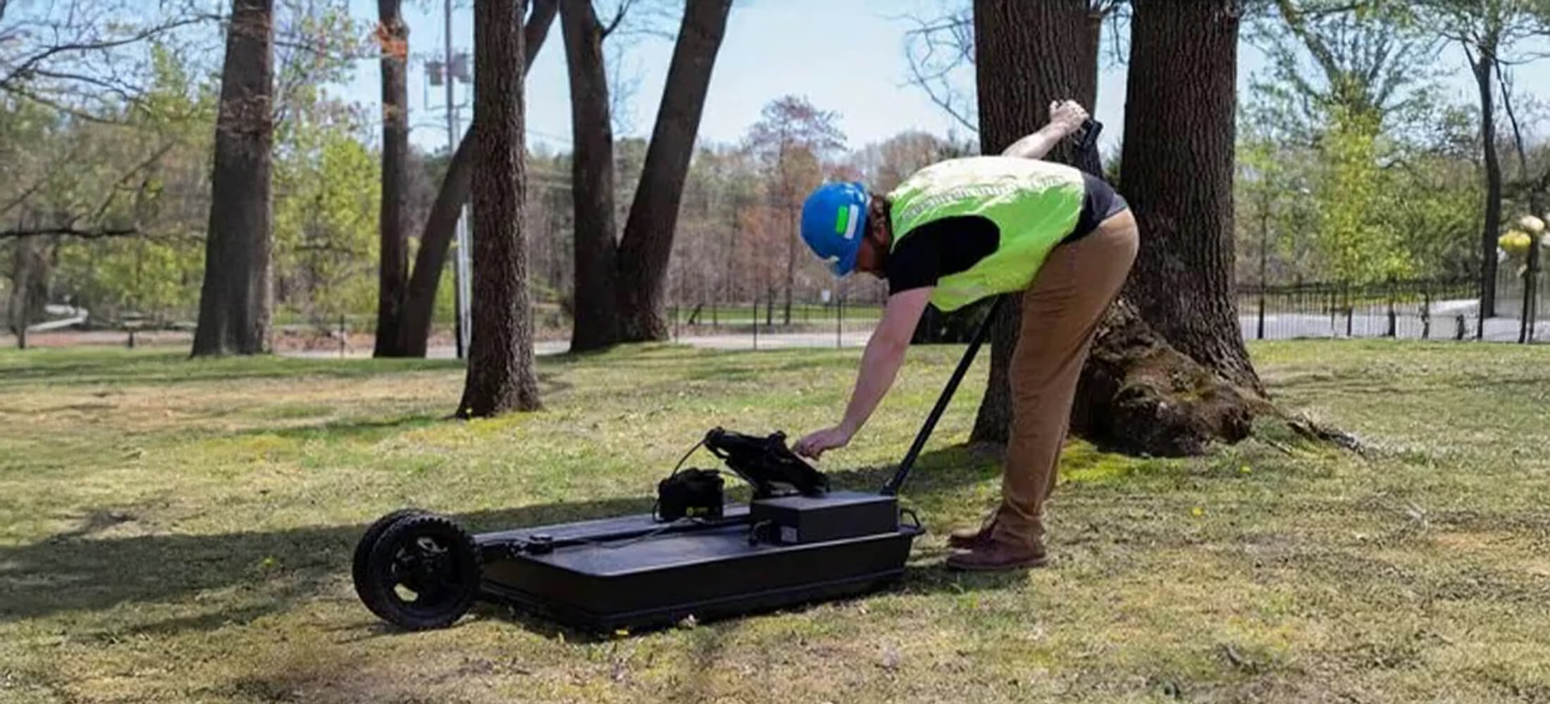
100 Series GPR
The greatest realistic penetration that GPR can provide
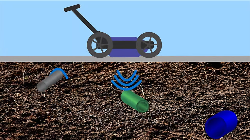
The 100 Series geophysical scanner systems offer the greatest realistic penetration that ground penetrating radar (GPR) can provide. It is used for locating deeper targets up to 30.48m. Typically, this system is most often used for locating tunnels and for geophysical analysis.
Need a Quote?
We’ll Call You
Simply enter your contact details and one of our specialists will call you to discuss your requirements and provide a detailed quotation.
Need a Quote?
We’ll Call You
Simply enter your contact details and one of our specialists will call you to discuss your requirements and provide a detailed quotation.

A Flexible GPR Platform for Data-Driven Decision Making
Think of your 100 Series system as more than a high-powered GPR device. When conducting a survey, you are doing more than seeing beneath the surface. You are compiling essential data that can be used to create an instant deliverable in the field – right from your tablet controller.
This ensures everyone is on the same page and operating from a shared point-of-reference with greater efficiency, safety, and confidence.
Versatile
The 100 Series is one of our most versatile systems, as the tablet and software are interchangeable with our other systems. This means that you can easily convert a 100 Series into one of our many other configurations for more high-resolution scanning applications.
Software Technologies
-
Self-Calibrating Antenna
-
SmartGain
-
SmartStack
-
StreetSmart Onboard Processing
-
Autoconfiguration
-
Broadband GPR
-
Depth Calibration
Applications
-
Locating Deep/Large Utilities
-
Environmental
-
Geophysics
-
Military
-
Strategic
Engineered for Field Reliability and Operational Efficiency
The 100 Series is built to perform in demanding environments with hardware and connectivity designed for durability and ease of use. From rugged control interfaces and long-lasting power solutions to terrain-ready components and secure connections, the system supports consistent data collection and operational confidence in the field.
Need a Quote?
We’ll Call You
Simply enter your contact details and one of our specialists will call you to discuss your requirements and provide a detailed quotation.
Need a Quote?
We’ll Call You
Simply enter your contact details and one of our specialists will call you to discuss your requirements and provide a detailed quotation.
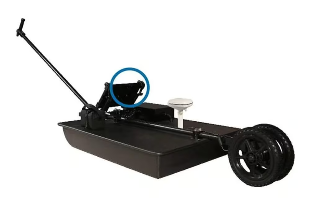
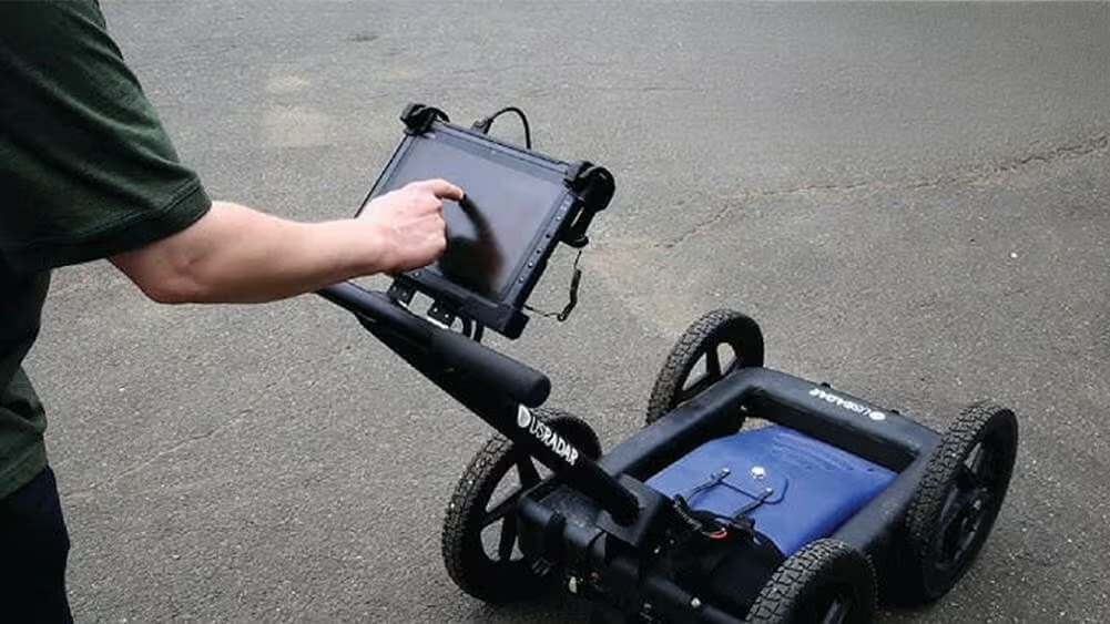
Durable, Glare-resistant Tablet Interface
-
Daylight readable, weatherproof Getac tablet interface
-
High performance CPU enables real-time data processing
-
Built-in 3D view capability
-
WiFi supported
-
ESB, Ethernet, and Audio ports
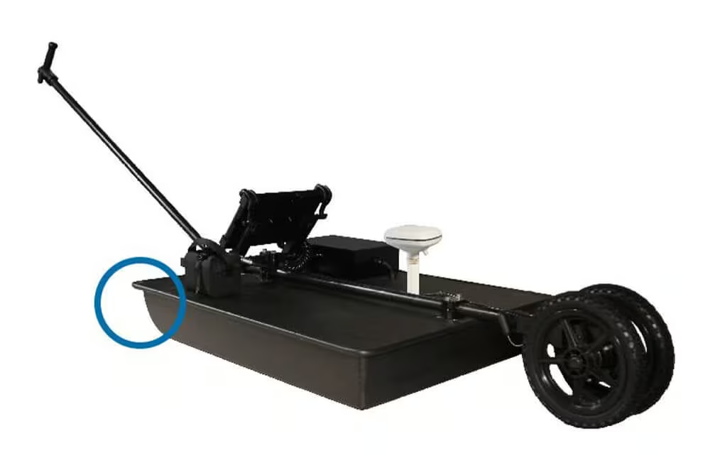
Sloped Antenna
-
Easily overcomes obstacles and rough terrain
-
Powerful low-frequency 100 MHz antenna for
-
Unmatched depth penetration
Long-life Battery Packs
-
2 battery packs included with each system
-
Total runtime of 10 hours
-
Typical lifetime of several years
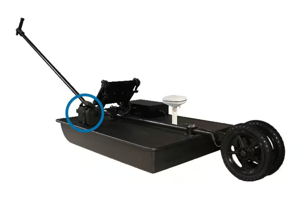
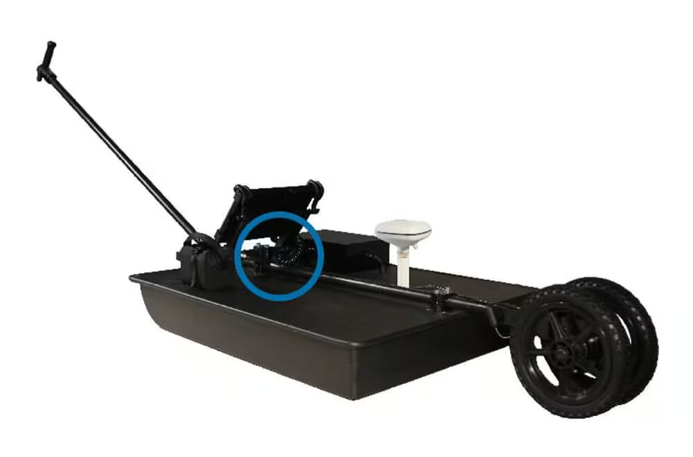
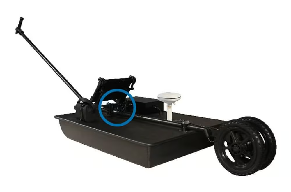
Military Grade Connectors
-
Never worry about loose connections
-
Connectors hold up across a variety of weather conditions
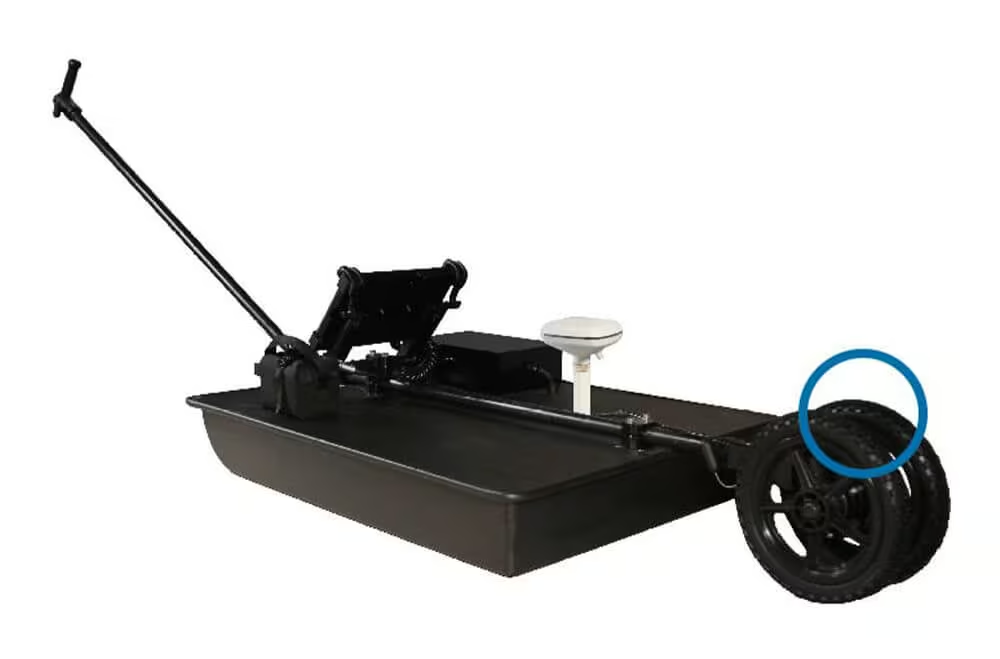
Airless Tires
-
Airless, solid tires that cannot go flat
-
Require zero maintenance
Optional GPS Integration
-
Optional GPS pole mount
-
Enables GPS to be centered over antenna
-
Integrates with most high-end GIS & RTK units
-
Optional integration with Google Earth
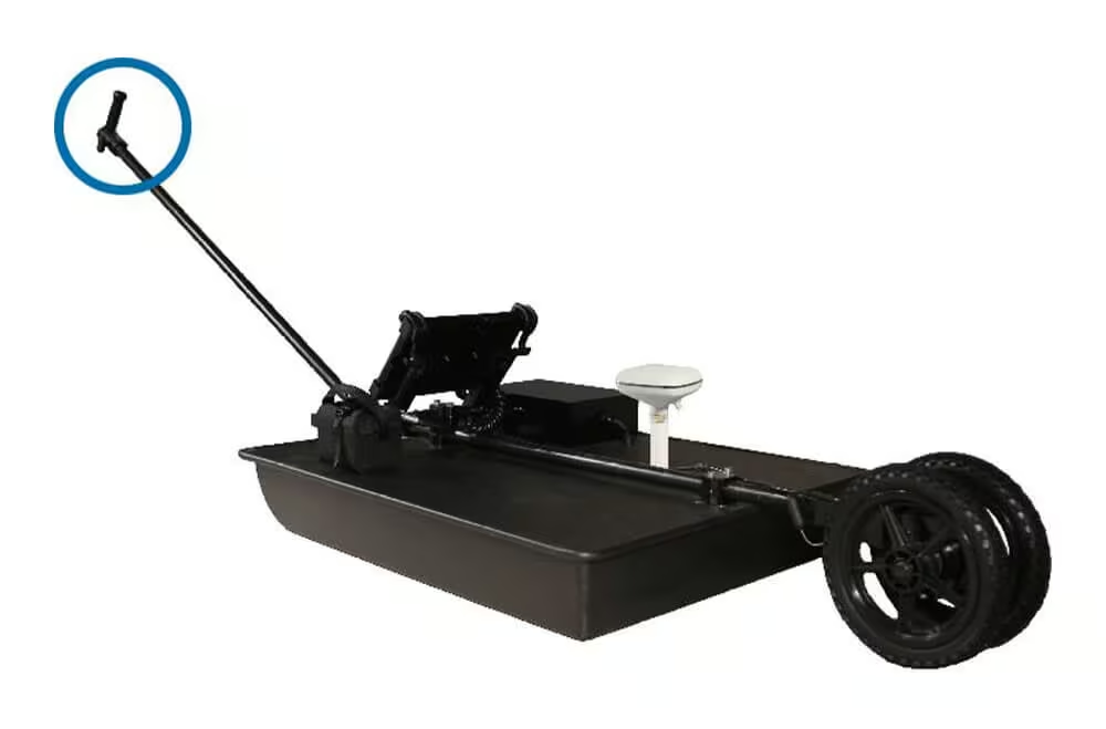
Aluminum Handle
-
Hybrid composite/aluminum pull handle
-
Designed to precisely avoid GPS interference
See the 100 Series GPR in Action
Explore real-world demonstrations of the 100 Series GPR in operation. See how the system delivers reliable subsurface imaging and data collection across diverse environments, showcasing its capability to support informed decision-making in the field.
Related Images



Need a Quote?
We’ll Call You
Simply enter your contact details and one of our specialists will call you to discuss your requirements and provide a detailed quotation.
-

Radar Studio
Radar Studio is an optional all in one software suite designed for viewing and processing Radar Data. -

Field Software
Our Acquisition Software drives every US Radar system. With a clear, crisp graphical display in a user-friendly format, users can identify subsurface targets of all material compositions. -

Quantum Imager
The triple frequency Quantum Imager by US Radar is capable of significantly greater depths with higher resolution than any other locating technology. -

GPRover
The GPRover is not just a GPR, but a sophisticated platform that integrates advanced subsurface imaging technology -

Q5C PLUS
Simply put, the Q5C Plus is a buried utility location workhorse. It is easy to use yet it can be expanded and configured for other applications and needs down the road. -
Q25
The Q25C is a 250MHz locating system for deep utilities and Geotechnical applications.