Field Software
Geared toward the quick and easy location of targets
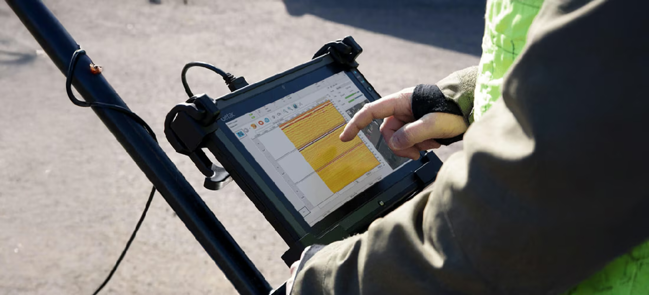
Our Acquisition Software drives every US Radar system. With a clear, crisp graphical display in a user-friendly format, users can identify subsurface targets of all material compositions. Choose from a variety of vibrant color palettes to further refine your data to make your targets more recognizable. Gain and averaging filters are automatically applied as required, creating data that will satisfy the most discerning users. The data you collect can be displayed in real-time, saved, and post-processed for future use.
Need a Quote?
We’ll Call You
Simply enter your contact details and one of our specialists will call you to discuss your requirements and provide a detailed quotation.
Need a Quote?
We’ll Call You
Simply enter your contact details and one of our specialists will call you to discuss your requirements and provide a detailed quotation.

Intuitive Acquisition Software Designed for Immediate Field Use
Acquisition Software is included with every US Radar system. The software is installed and ready to go with every purchase. Depending on your specific needs, you can also incorporate a variety of optional upgrades later on.
Our Acquisition Software is specifically designed to be easy to learn. With some brief, low-intensity training, anyone on the jobsite can learn how to use it to generate valuable results within a day.
Advanced Processing and Data Control Tools
Integrated processing features automatically optimize image quality while giving operators precise control over depth, gain, and target identification. Built-in tagging, measurement, snapshot, and recording tools make documentation and reporting fast, accurate, and field-ready.
Need a Quote?
We’ll Call You
Simply enter your contact details and one of our specialists will call you to discuss your requirements and provide a detailed quotation.
Need a Quote?
We’ll Call You
Simply enter your contact details and one of our specialists will call you to discuss your requirements and provide a detailed quotation.
Auto-Calibration
Using a unique averaging removal algorithm, the antenna and software recognize the prevailing soil conditions and calibrate the images for optimum data gathering.
Time-Varying Gain
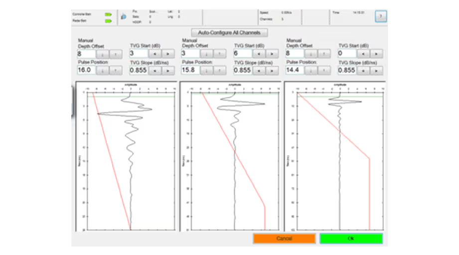
The only software/hardware integration that recognizes the duration of the pulse and applies gain accordingly. The deeper the target, the higher the gain…automatically!
User-Defined Algorithms
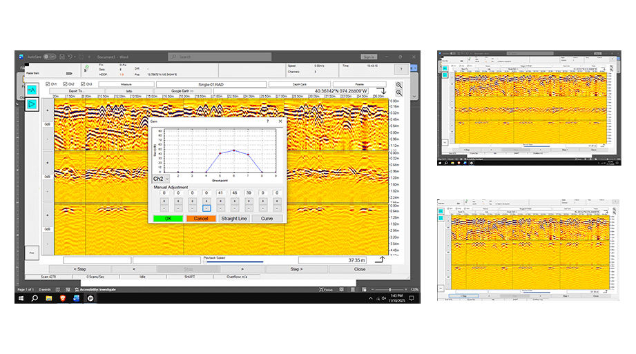
Similar to focusing a camera, the operator can increase or decrease gain on a specific depth range. Target identification and layer tracing are much easier for those hard-to-locate targets.
Backtrack Feature
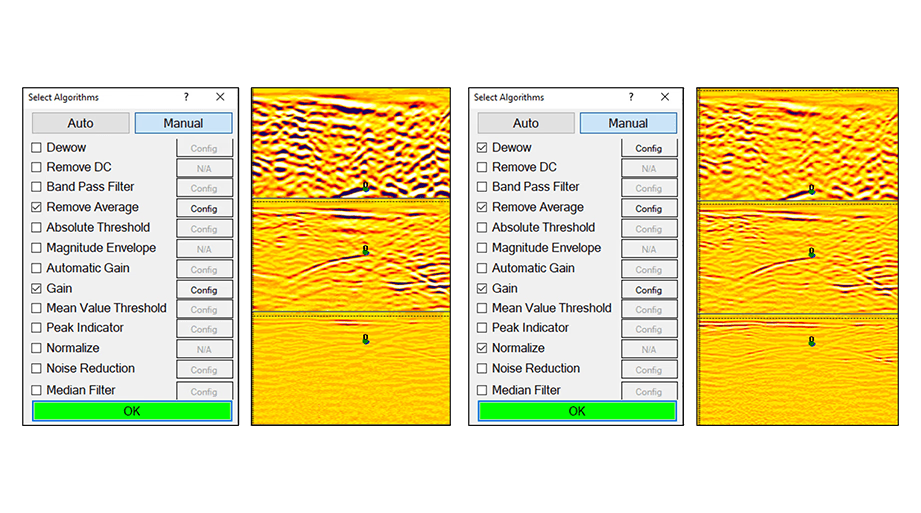
Pinpoint the precise location of the target with the position indicator. When a feature is spotted in the data, simply move backward until the indicator is centered on the target.
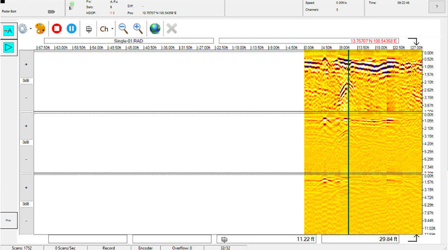
Position Readout
Simply tap the screen on an image of interest and the distance from the beginning of your pass and the depth will be displayed (x and z coordinates). This feature works both in real time and on stored data being replayed.
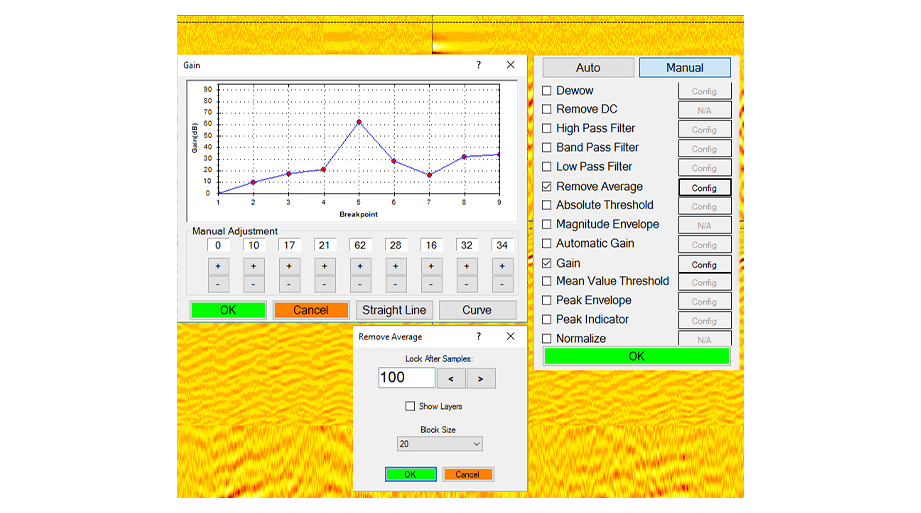
Snapshot
Store full-screen images for reports, sharing with others, and printing. One tap of the touch screen “Snapshot” function and the image is saved.
Record
Full scans are stored for later analysis and review.
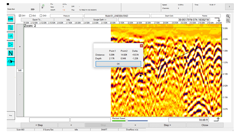
Measure Tool
User to measure the distance between two targets
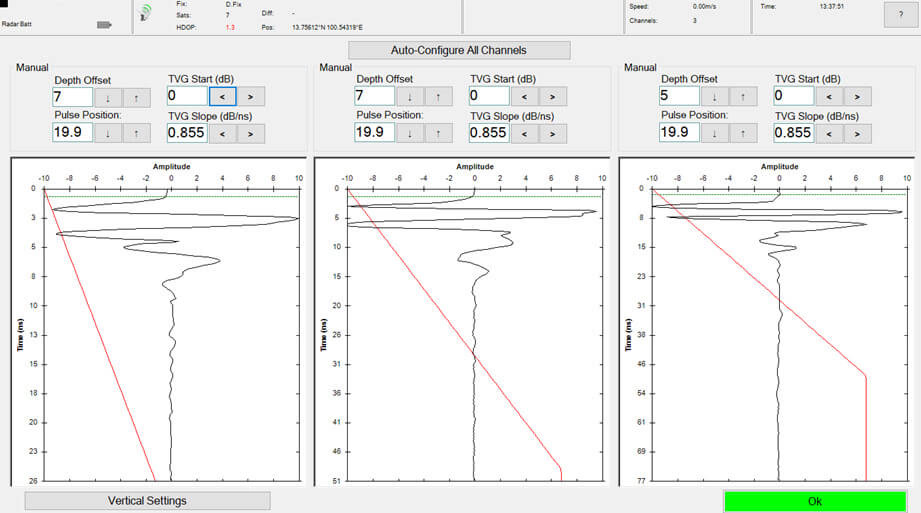
Auto Configuration
Using real-time interaction between the radar waves and the subsurface this feature automatically adjusts settings to compensate for soil composition and condition.
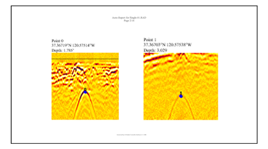
Auto-Report
Creates report deliverable using user defined data points. Uses universal .RTF text files that can up opened and edited using any word processing software.
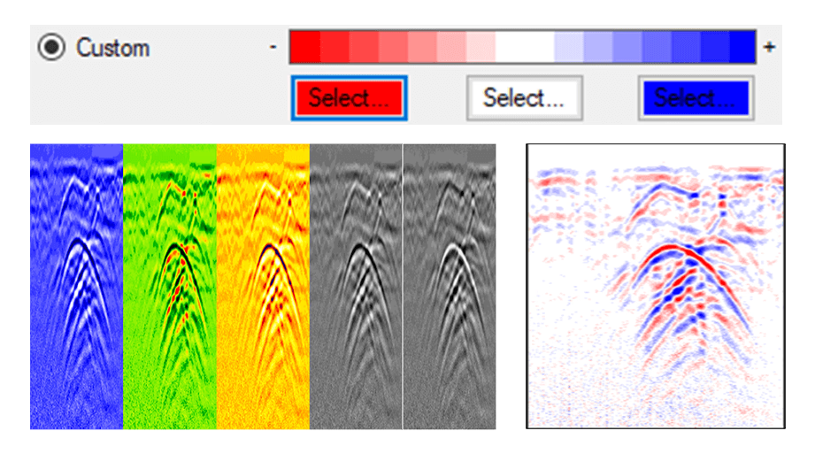
Color Palette
Change the appearance of data for easier viewing. Preset colors are Yellow, Blue, Green/Red, Gray Scale, and Inverse Gray Scale. User created Custom Palette is also available.
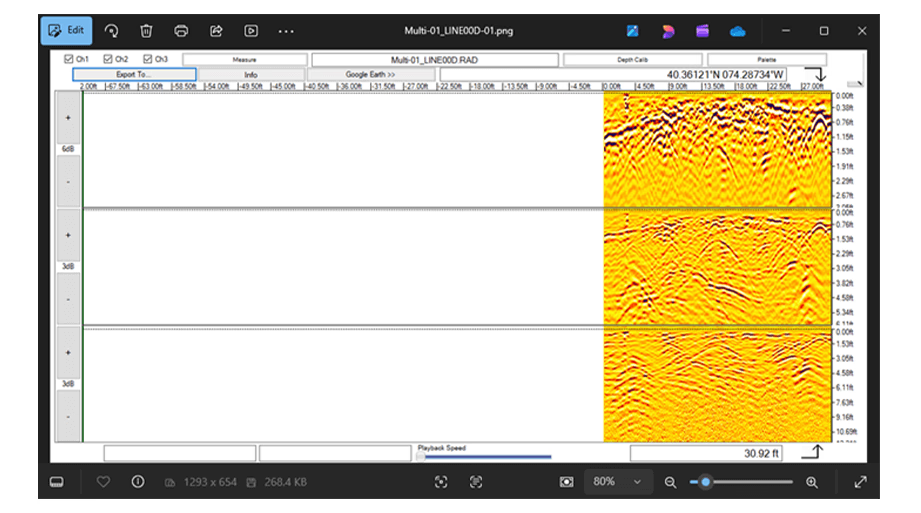
Screenshot/Slice Image
Save a screen shot or the entire data slice image. Can easily be sent via email.
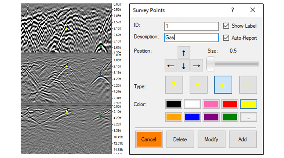
Tagging/Annotation
Features can be identified and highlighted for report building purposes, then positions can be exported to a spreadsheet with either relative positions or latitudes and longitudes.
Professional-Grade Tools for Advanced Signal Analysis and Custom Calibration
This more complex software is for advanced users with applications such as geophysics that require greater filtering and data processing capabilities.
Advanced Algorithms
Easy to configure and troubleshoot, with adaptable batteries that allow you to dial up or use a lower power outlet depending on field size and needs.
Signal Loss Calculation
When entering dielectric constant and attenuation, the signal loss is calculated automatically.
Advanced Dielectric Constant Entry
The operator may enter their own values for dielectric constant.
Advanced Depth Calibration
The depth scale can be calibrated based on targets at known depths.
Advanced Attenuation Entry
The operator may enter their own values for attenuation in dB/m.
See the Acquisition Software in Action
Watch the Acquisition Software operate in real time and see how its intuitive interface and advanced processing tools transform raw radar data into clear, actionable insights directly in the field.
Related Images


Need a Quote?
We’ll Call You
Simply enter your contact details and one of our specialists will call you to discuss your requirements and provide a detailed quotation.
-

Radar Studio
Radar Studio is an optional all in one software suite designed for viewing and processing Radar Data. -

100 Series GPR
The 100 Series geophysical scanner systems offer the greatest realistic penetration that ground penetrating radar (GPR) can provide. -

Quantum Imager
The triple frequency Quantum Imager by US Radar is capable of significantly greater depths with higher resolution than any other locating technology. -

GPRover
The GPRover is not just a GPR, but a sophisticated platform that integrates advanced subsurface imaging technology -

Q5C PLUS
Simply put, the Q5C Plus is a buried utility location workhorse. It is easy to use yet it can be expanded and configured for other applications and needs down the road. -
Q25
The Q25C is a 250MHz locating system for deep utilities and Geotechnical applications. -

Q10
The Q10C is a high resolution 1000 or 900 MHz GPR Cart System for Bridge Deck Scanning and other high resolution/shallow applications.