Radar Studio
All-in-one software suite designed for viewing and processing Radar Data
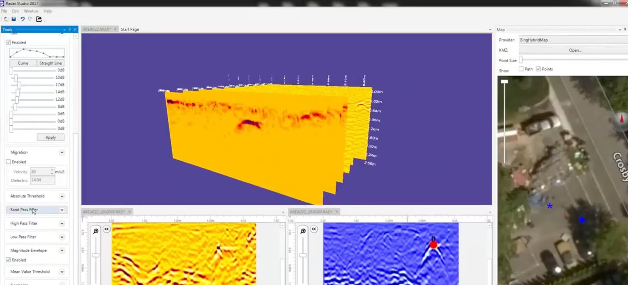
Radar Studio is an optional all in one software suite designed for viewing and processing Radar Data. It features an infinitely customisable user interface with intuitive controls and features.
Need a Quote?
We’ll Call You
Simply enter your contact details and one of our specialists will call you to discuss your requirements and provide a detailed quotation.
Need a Quote?
We’ll Call You
Simply enter your contact details and one of our specialists will call you to discuss your requirements and provide a detailed quotation.

Advanced GPS Integration and Multi-File Processing for Precise Data Analysis
Radar Studio seamlessly integrates GPS data and mapping features. As built maps can be imported and compared to radar data containing GPS coordinates for precision locating. New maps can be created and exported.
The software also allows you to open multiple files simultaneously, which increases productivity and data comprehension. This allows the user to easily compare data processing settings and enables them to get the best possible results.
Our more advanced filters allow a skilled user to filter external interference and create the best image possible.
Advanced Processing and Data Control Tools
Integrated processing features automatically optimize image quality while giving operators precise control over depth, gain, and target identification. Built-in tagging, measurement, snapshot, and recording tools make documentation and reporting fast, accurate, and field-ready.
Need a Quote?
We’ll Call You
Simply enter your contact details and one of our specialists will call you to discuss your requirements and provide a detailed quotation.
Need a Quote?
We’ll Call You
Simply enter your contact details and one of our specialists will call you to discuss your requirements and provide a detailed quotation.
GPS Data & Mapping
Integrate GPS data seamlessly to create dynamic, visual maps that add environmental context to your findings.
Data Processing
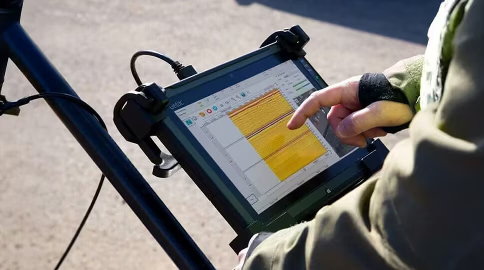
Radar Studio offers many data processing options designed to improve data interpretation.
The automatic settings allow for new users to instantly get usable results with only minimal training.
3D Imaging
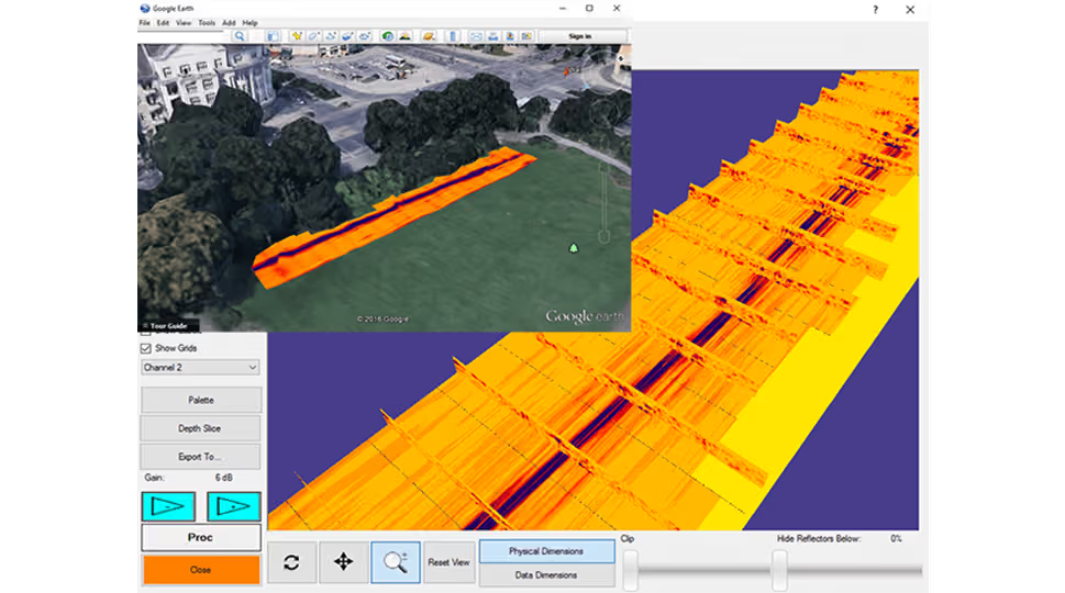

Radar Studio offers advanced 3D imaging that allows the user to precisely calibrate velocity and depth.
Plain view images are displayed in the mapping window and changes are updated in real time.
Annotation
With Radar Studio, you can easily add notes, select color codes, and choose icons to be displayed on the data and in the map window.
Additionally, lines can be drawn in the map window to represent utilities.
Depth Slices
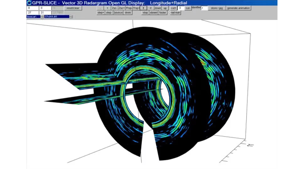
Create depth slices to add greater visual context to your findings and bring your data to life.
See the Quantum Imager in Action
Watch the Quantum Imager in operation and see how its triple-frequency technology delivers exceptional depth, clarity, and real-time subsurface insight in demanding field conditions.
Related Images



Need a Quote?
We’ll Call You
Simply enter your contact details and one of our specialists will call you to discuss your requirements and provide a detailed quotation.
-

Field Software
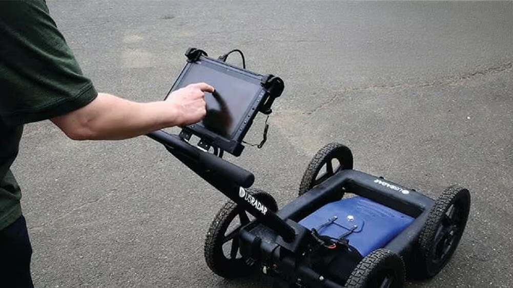
Our Acquisition Software drives every US Radar system. With a clear, crisp graphical display in a user-friendly format, users can identify subsurface targets of all material compositions. -

100 Series GPR
The 100 Series geophysical scanner systems offer the greatest realistic penetration that ground penetrating radar (GPR) can provide. -

Quantum Imager
The triple frequency Quantum Imager by US Radar is capable of significantly greater depths with higher resolution than any other locating technology. -

GPRover
The GPRover is not just a GPR, but a sophisticated platform that integrates advanced subsurface imaging technology -

Q5C PLUS
Simply put, the Q5C Plus is a buried utility location workhorse. It is easy to use yet it can be expanded and configured for other applications and needs down the road. -
Q25
The Q25C is a 250MHz locating system for deep utilities and Geotechnical applications. -

Q10
The Q10C is a high resolution 1000 or 900 MHz GPR Cart System for Bridge Deck Scanning and other high resolution/shallow applications.