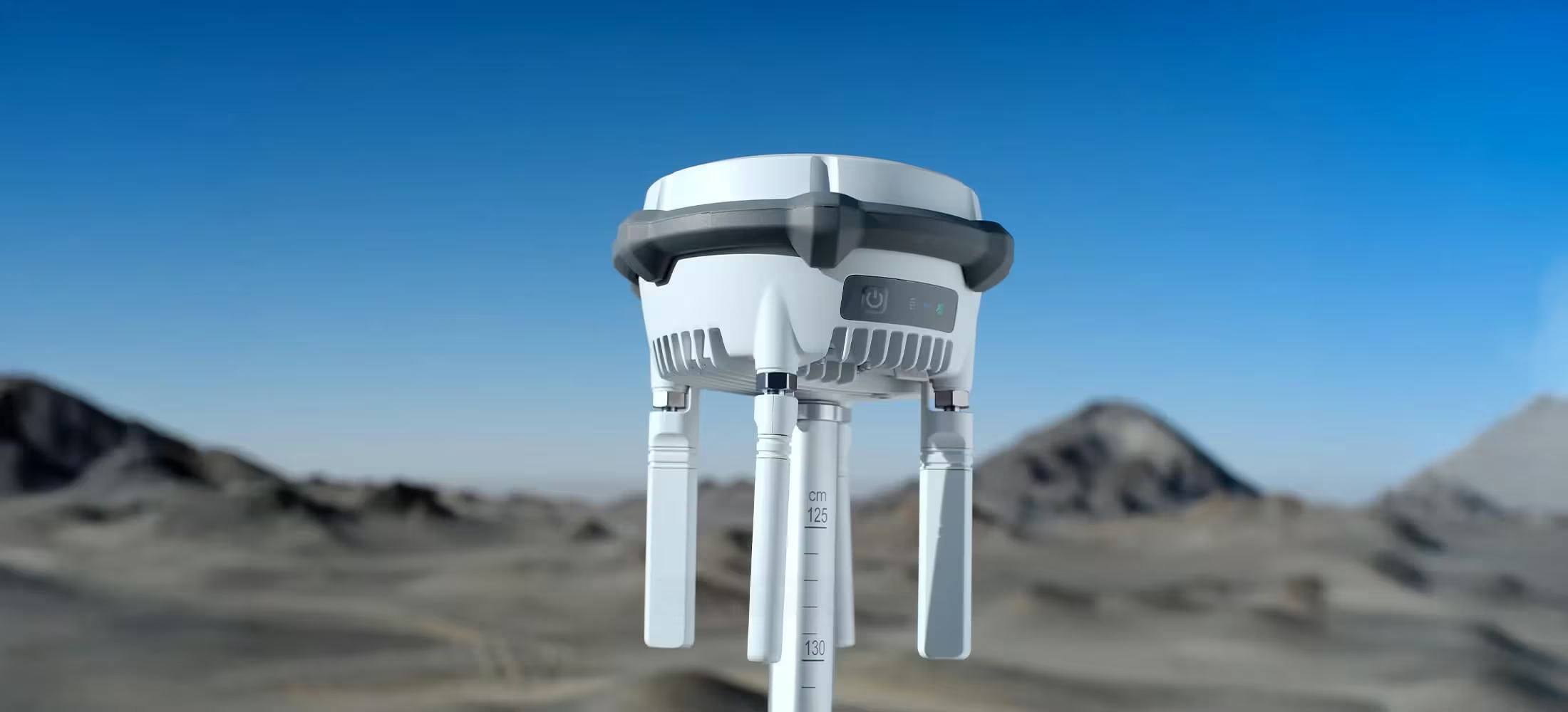
D-RTK3
Maximised Precision. Enhanced Range
DJI D-RTK 3 is a versatile positioning solution designed to elevate precision and reliability across enterprise drone operations. Built for flexible deployment, it supports a wide range of workflows, from large-scale mapping to complex inspection tasks, delivering dependable accuracy and extended operational coverage where it matters most.
Need a Quote?
We’ll Call You
Simply enter your contact details and one of our specialists will call you to discuss your requirements and provide a detailed quotation.

Advanced GNSS Accuracy for Enterprise Operations
The new D-RTK 3 Multifunctional Station integrates high-performance antennas and receiver modules capable of tracking and resolving data from major global satellite navigation systems, and it supports multiple data transmission links.
With these outstanding features, it can serve as a base station to provide centimeter-level positioning for multiple drones simultaneously or extend the operational range of drones and DJI Dock 3 in relay station mode. Additionally, the new rover station mode, combined with the DJI Enterprise app and DJI Terra, provides a comprehensive solution for high-precision aerial surveying applications, ensuring a secure and accurate operation.
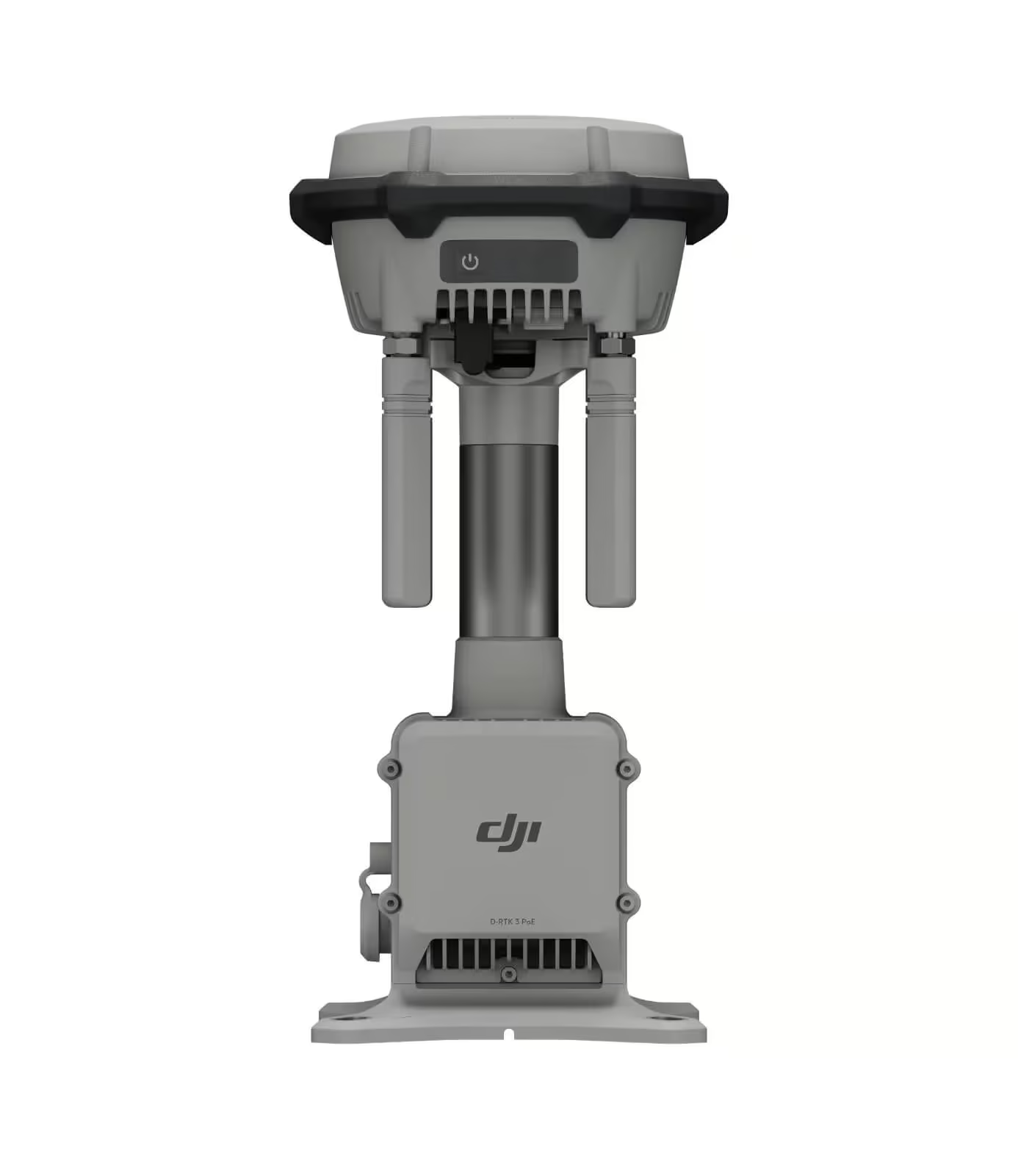
Multiple Modes, Versatile Control
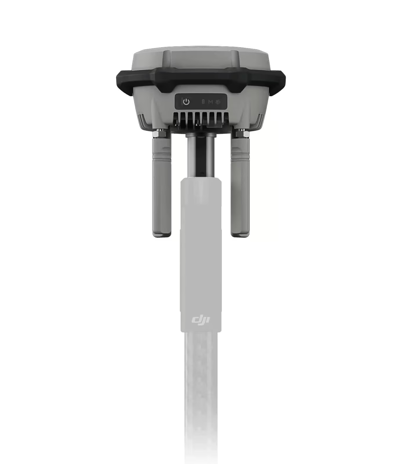
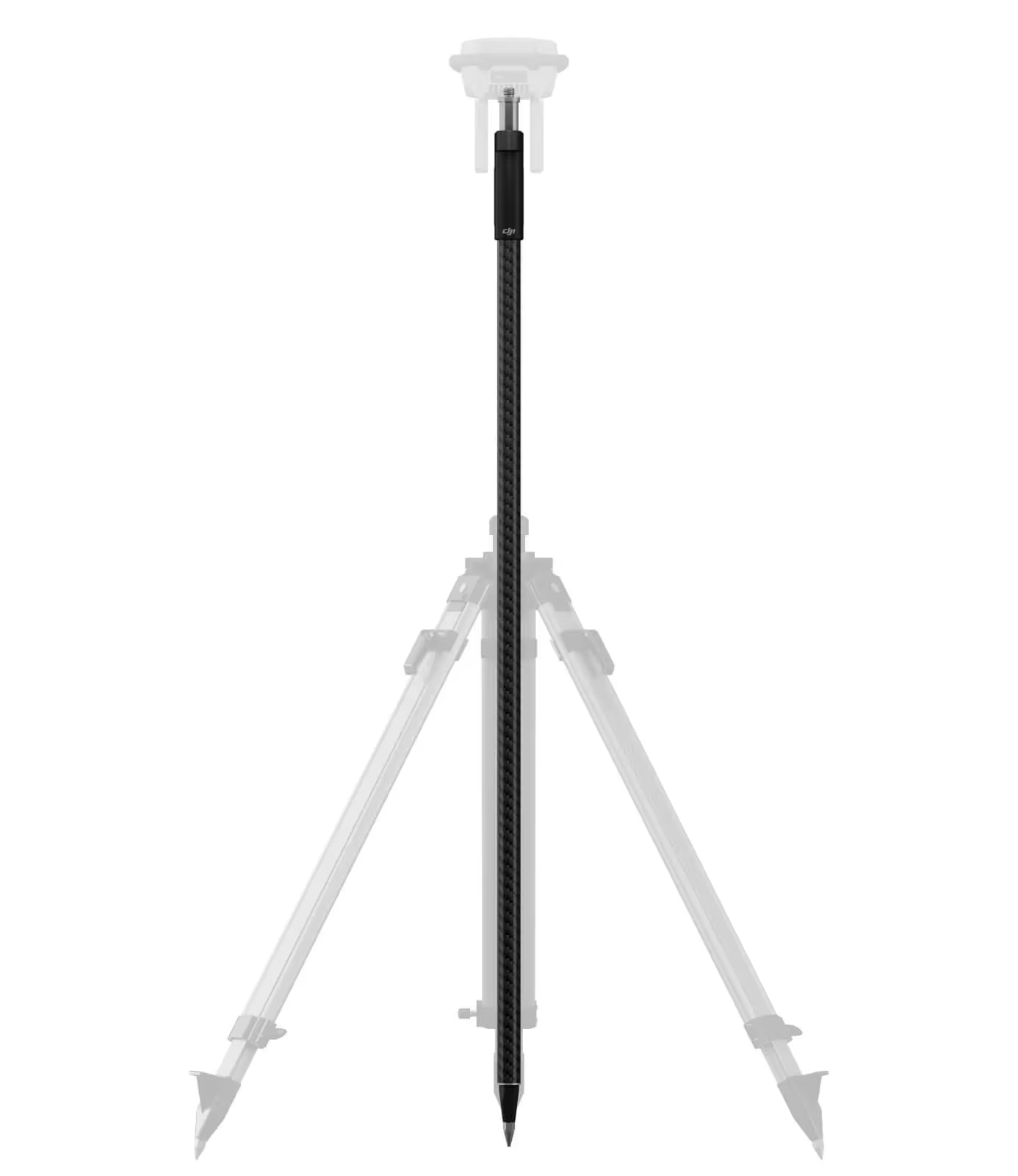
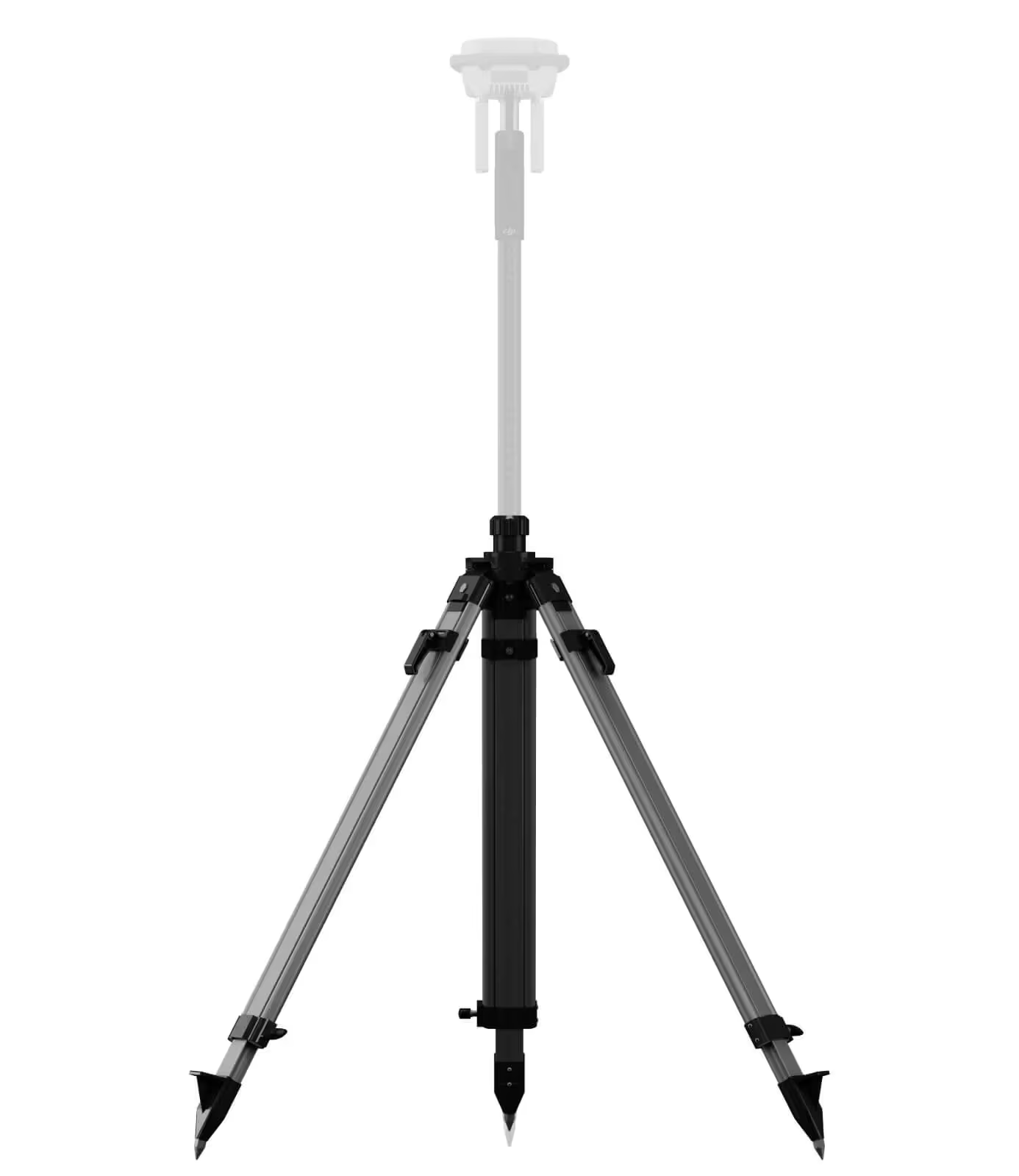
The D-RTK 3 adapts to any mission with multiple modes for versatile control. Switch between Relay, Base, or Rover Station modes to extend transmission range, support multiple drones simultaneously, or capture precise survey data, ensuring reliable performance in complex environments.
Need a Quote?
We’ll Call You
Simply enter your contact details and one of our specialists will call you to discuss your requirements and provide a detailed quotation.
Relay Station Mode : Break Through Limitations
In urban areas, valleys, or challenging DJI Dock 3 sites with dense obstacles, simply switch the D-RTK 3 to Relay Station Mode and position it at a high point, or directly set up the D-RTK 3 Relay Fixed Deployment Version. This setup enhances the video transmission range for the Matrice 4/4D series, extending operational coverage up to 25 kilometers.
D-RTK 3 supports obstruction sensing with the Matrice 4 Series, allowing real-time calculations of obstructions and signal quality between the relay station, the remote controller, and drone. Operators can adjust the drone’s position based on prompts from the remote controller to ensure optimal communication quality.
Base Station Mode: Supports Simultaneous Operation of Multiple Models
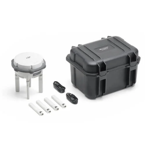
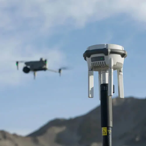
D-RTK 3 supports the new O4 Enterprise video transmission system. Equipped with four external directional antennas, it achieves a maximum RTK coverage range of 15 km in base station broadcast mode while ensuring stable signals in all directions. Operators only need to set up one D-RTK 3 Multifunctional Station without additional configuration, allowing multiple drones to connect to the base station and access centimeter-level positioning.
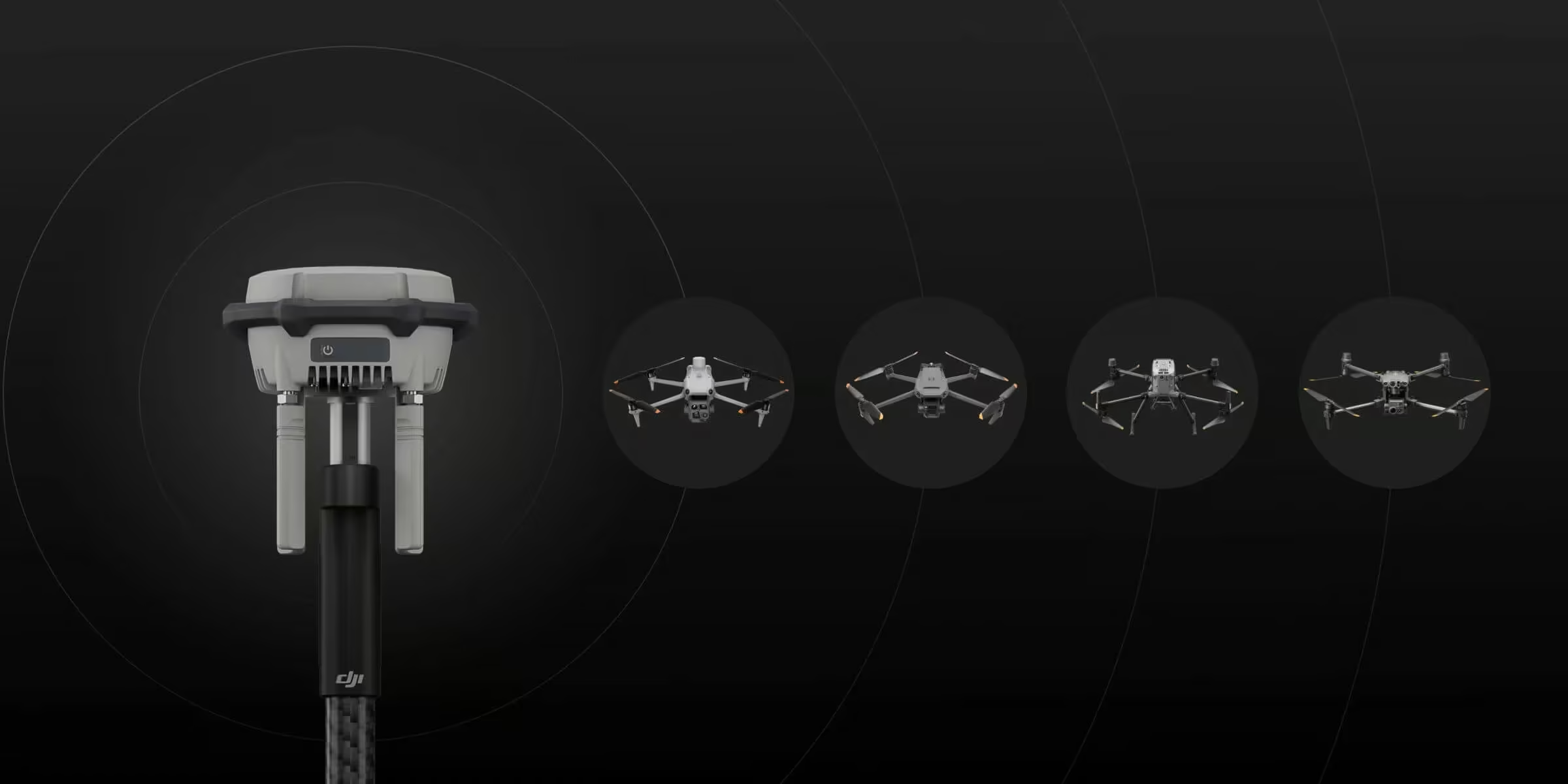
Rover Station Mode: Flexible and Efficient
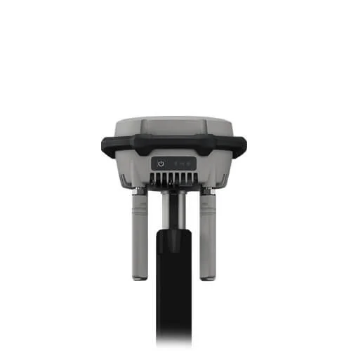
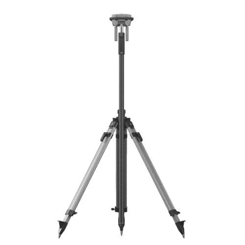
Besides serving as a base station, D-RTK 3 can also be used as a rover station to collect control point coordinates, enhancing the accuracy of UAV aerial survey and improving survey precision.
Maintenance-Free Relay Fixed Deployment Version
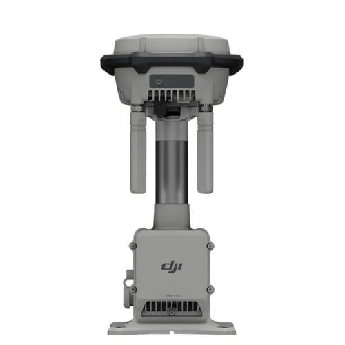
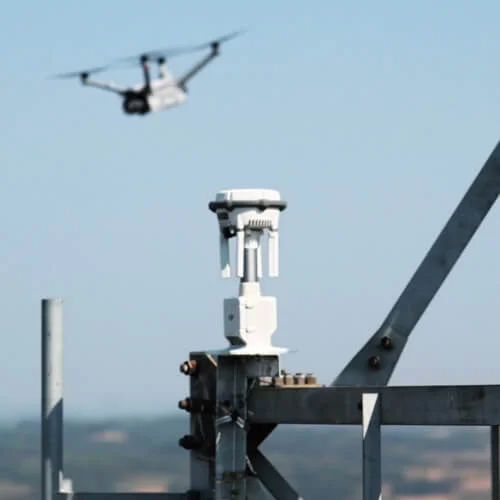
The D-RTK 3 Relay Fixed Deployment Version delivers maintenance-free, long-term operation in diverse environments. With IP67 protection, lightning surge safeguards, and remote access capabilities, it ensures stable, uninterrupted signal relay for extended missions.
Adaptable to Various Environments
The Fixed Deployment Version offers outdoor maintenance-free operation and adaptability to various environments. It can be installed on towers, utility poles, parapet walls, and other vertical structures, meeting diverse scenario requirements. Additionally, it supports power supply from DJI Dock 3 or third-party external PoE sources, enabling long-distance deployments.
Outstanding Protection and Reliability
D-RTK 3 Relay Fixed Deployment Version features highly redundant and reliable hardware and software design, significantly reducing maintenance costs. Equipped with lightning surge protection and an IP67 rating, it operates stably in temperatures ranging from -30°C to 50°C. Once deployed, it can continuously perform outdoor operations with minimal intervention.
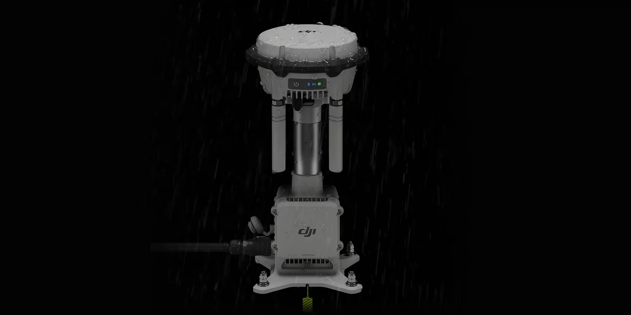
Remote Access
D-RTK 3 Relay Fixed Deployment Version supports remote access. The relay station deployed at a high location can broadcast connection signals directly without triggering linking through buttons. The surrounding Matrice 4 Series aircraft can scan for idle relay stations and connect to them remotely, achieving signal relay functionality.
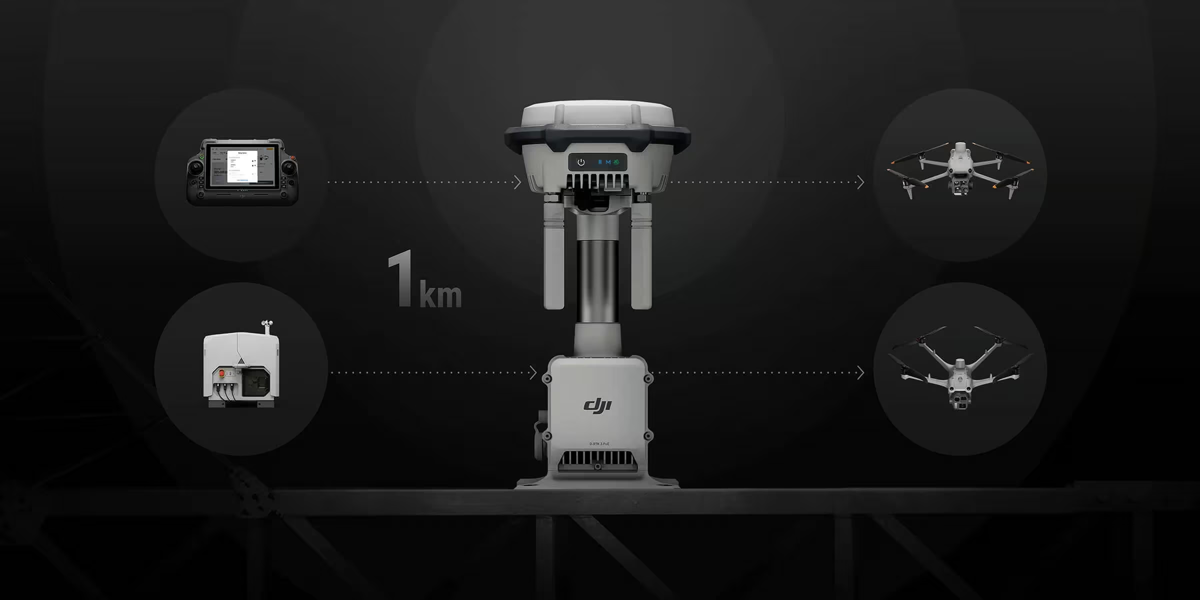
Effortless High-Precision Positioning
The D-RTK 3 delivers high-precision positioning even in complex environments. With multi-satellite support, millimeter-level antenna accuracy, and proprietary PPP and network calibration, it ensures reliable, decimeter- to centimeter-level positioning for your most demanding operations.
Need a Quote?
We’ll Call You
Simply enter your contact details and one of our specialists will call you to discuss your requirements and provide a detailed quotation.
Stronger Performance, More Accurate Positioning
D-RTK 3 uses an air dielectric antenna with a filtering design, effectively tracking low-elevation satellites. The antenna phase-center accuracy is maintained within millimeter level, ensuring strong resistance to multipath interference and enabling high-precision positioning even in complex environments.
With its built-in receiver module, D-RTK 3 can receive satellite data from five major satellite systems across nineteen frequency points. Compared to network RTK, D-RTK 3 provides more accurate and stable positioning results under ionospheric effects.
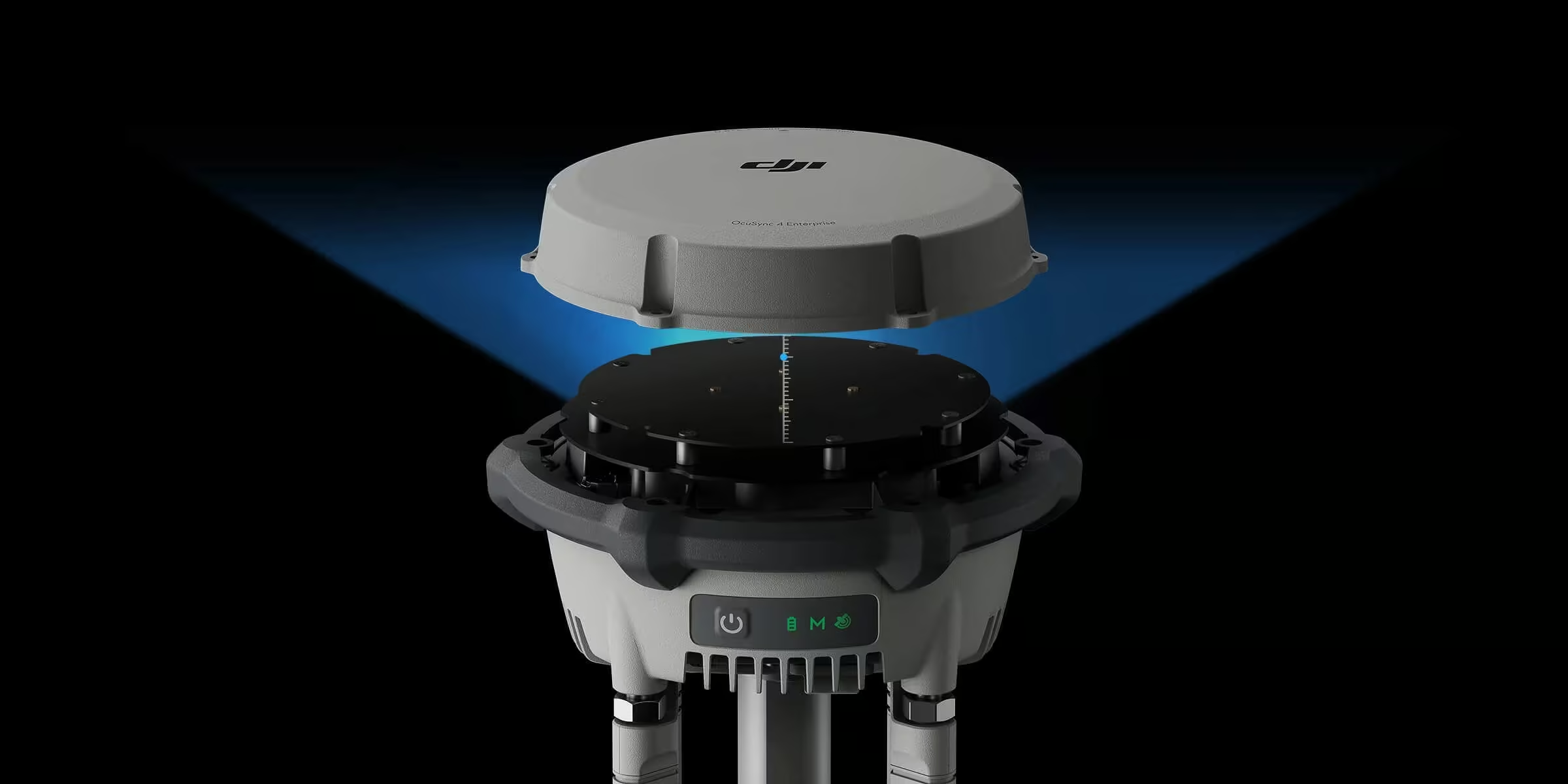
Standalone Precise Point Positioning (PPP)
D-RTK 3 utilizes DJI’s proprietary PPP solution, supporting integrated satellite-based augmentation and differential corrections from BeiDou B2b and Galileo HAS. This enables decimeter-level positioning even in challenging network conditions.
Network High-Precision Calibration
D-RTK 3 can receive RTCM data and automatically obtain coordinates and correct positions through the network. When used outdoors, it can achieve centimeter-level precision positioning without pre-measuring the setup point location.
DJI Integrated Mapping Solution
The DJI Integrated Mapping Solution streamlines high-precision surveying from start to finish. With the new DJI Enterprise app, you can measure ground control points, apply tilt compensation, convert coordinates, and seamlessly integrate data into DJI Terra. Local PPK support ensures accurate results even in complex environments, making professional mapping faster and easier.
Supported Drones and Deployment Modes
Need a Quote?
We’ll Call You
Simply enter your contact details and one of our specialists will call you to discuss your requirements and provide a detailed quotation.
D-RTK 3 Multifunctional Station:
Base Station Mode:
Enterprise:
-
Matrice 400
-
Matrice 4E, Matrice 4T
-
Matrice 4D, Matrice 4TD (DJI RC Plus 2 Enterprise)
-
Matrice 3D/3TD (DJI RC Pro Enterprise)*
-
Matrice 300/350 RTK*
-
Matrice 30 Series*
-
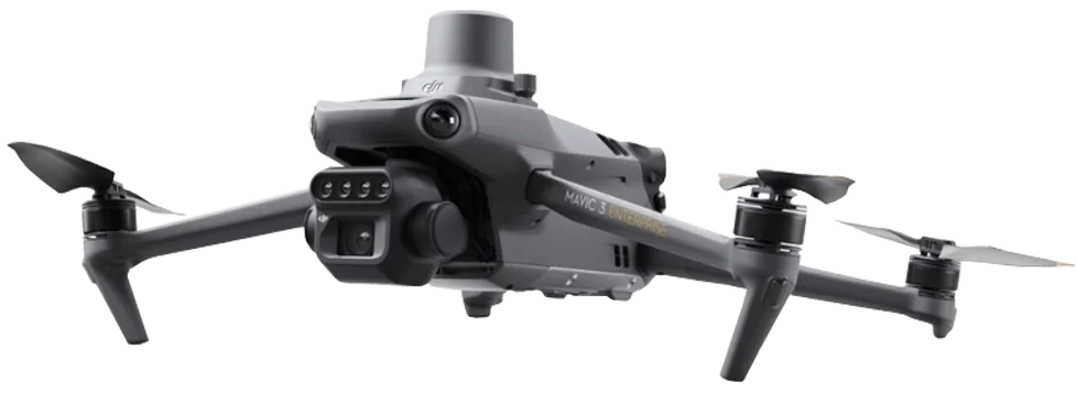
Mavic 3 Enterprise Series*
-
DJI FlyCart 100
-
T60*
-
T50/T25*
-
T40/T20P*
-
DJI FlyCart 30*
Professional Filmmaking:
-
DJI Inspire 3*
Relay Station Mode:
-
DJI Matrice 400
-
Matrice 4E, Matrice 4T
-
Matrice 4D, Matrice 4TD (DJI RC Plus 2 Enterprise)
-
DJI FlyCart 100
Rover Station Mode:
-
Supports Bluetooth 5.1, compatible with Android 10 and above

D-RTK 3 Relay Fixed Deployment Version:
Relay Station Mode:
-
DJI Matrice 400
-
DJI Dock 3
-
Matrice 4E, Matrice 4T*
-
DJI FlyCart 100
-
Matrice 4D, Matrice 4TD (DJI RC Plus 2 Enterprise)
* All relay stations, aircraft, and remote controllers need to be updated to version V13.01.00.04 or later and connected via Remote Access.
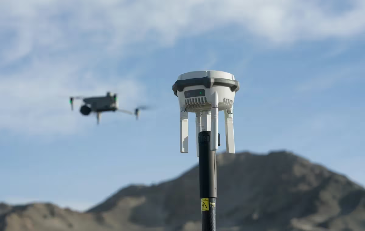
Explore the D-RTK3 in Action
Need a Quote?
We’ll Call You
Simply enter your contact details and one of our specialists will call you to discuss your requirements and provide a detailed quotation.
-

DJI Dock 3
DJI Dock 3 is a compact, rugged solution designed to make autonomous drone operations faster, safer, and more flexible. -
Mavic 3 Multispectral
Effective aerial surveying needs to see the invisible. That’s why Mavic 3 Multispectral has two forms of sight. -

Matrice 4 Series
The DJI Matrice 4 Series is DJI’s latest intelligent, compact, and multi-sensor flagship enterprise drone. -

DJI Matrice 400
Built for strength, reliability, and versatility. Delivering intelligent performance.