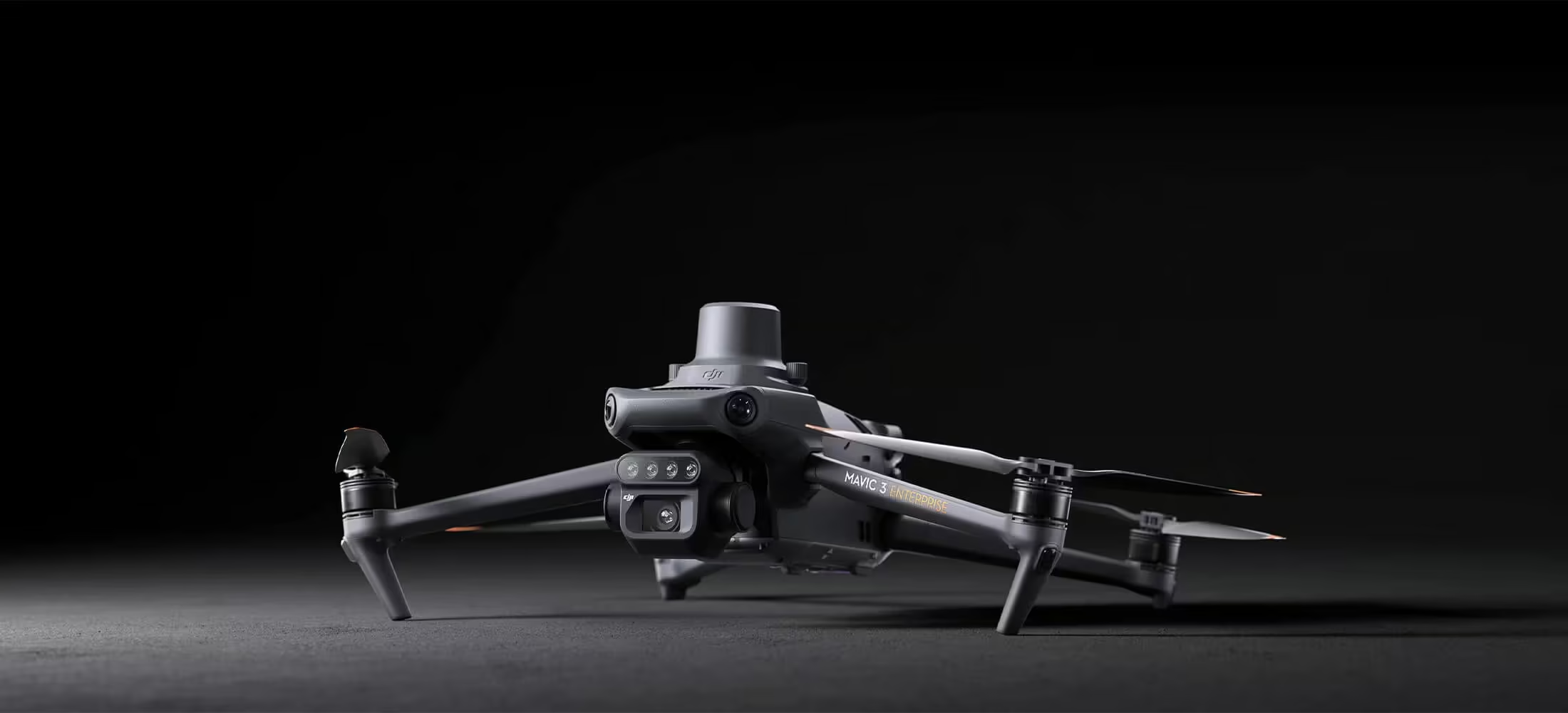
Mavic 3 Multispectral
See More, Work Smarter
Effective aerial surveying needs to see the invisible. That’s why Mavic 3 Multispectral has two forms of sight. It combines an RGB camera with a multispectral camera to scan and analyze crop growth with total clarity. Agricultural production management requires precision and data, and Mavic 3M delivers both.
Need a Quote?
We’ll Call You
Simply enter your contact details and one of our specialists will call you to discuss your requirements and provide a detailed quotation.
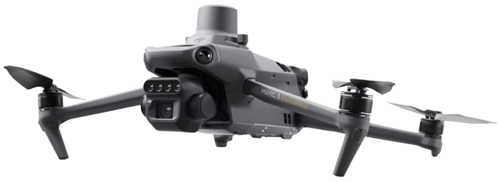
Multispectral + RGB Imaging System
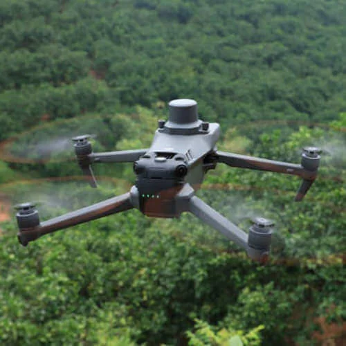
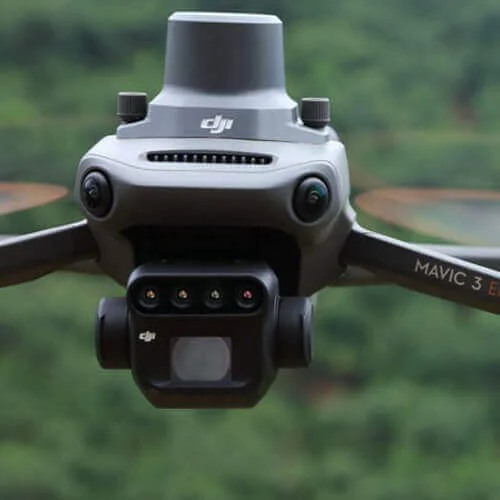
Compact and foldable for easy transport, Mavic 3 Multispectral pairs safe, stable flight with advanced imaging performance. A highly integrated system combines a 20MP 4/3 CMOS RGB camera with four 5MP multispectral sensors, delivering precise crop and land analysis with centimeter-level RTK accuracy. Omnidirectional obstacle avoidance, long-range transmission, and efficient coverage of up to 200 hectares per flight ensure reliable, data-driven surveying in demanding environments.
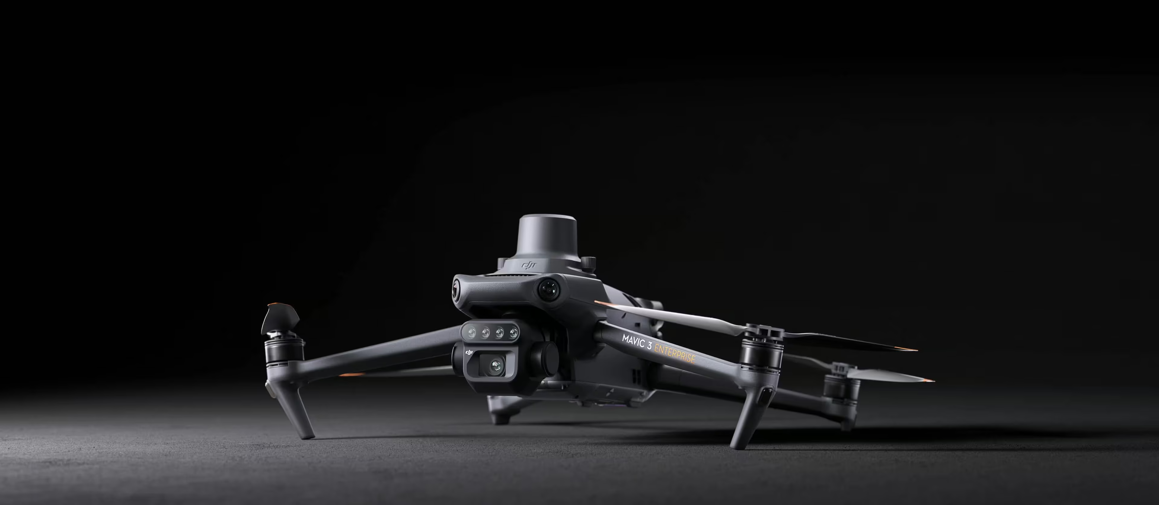
Compact and Portable
-
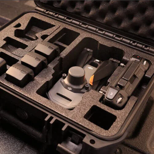
Foldable for easy storage
Multispectral Camera
-
4 × 5MP
-
G/R/RE/NIR
RGB Camera
-
20 MP
-
4/3 CMOS, mechanical shutter
Safe and Stable
-
Omnidirectional Obstacle Avoidance
-
15km Transmission Distance
Precise Positioning
-
Centimeter-level RTK positioning
-
Microsecond-level time synchronization
Efficient Aerial Surveying
-
Up to 200 hectares per flight
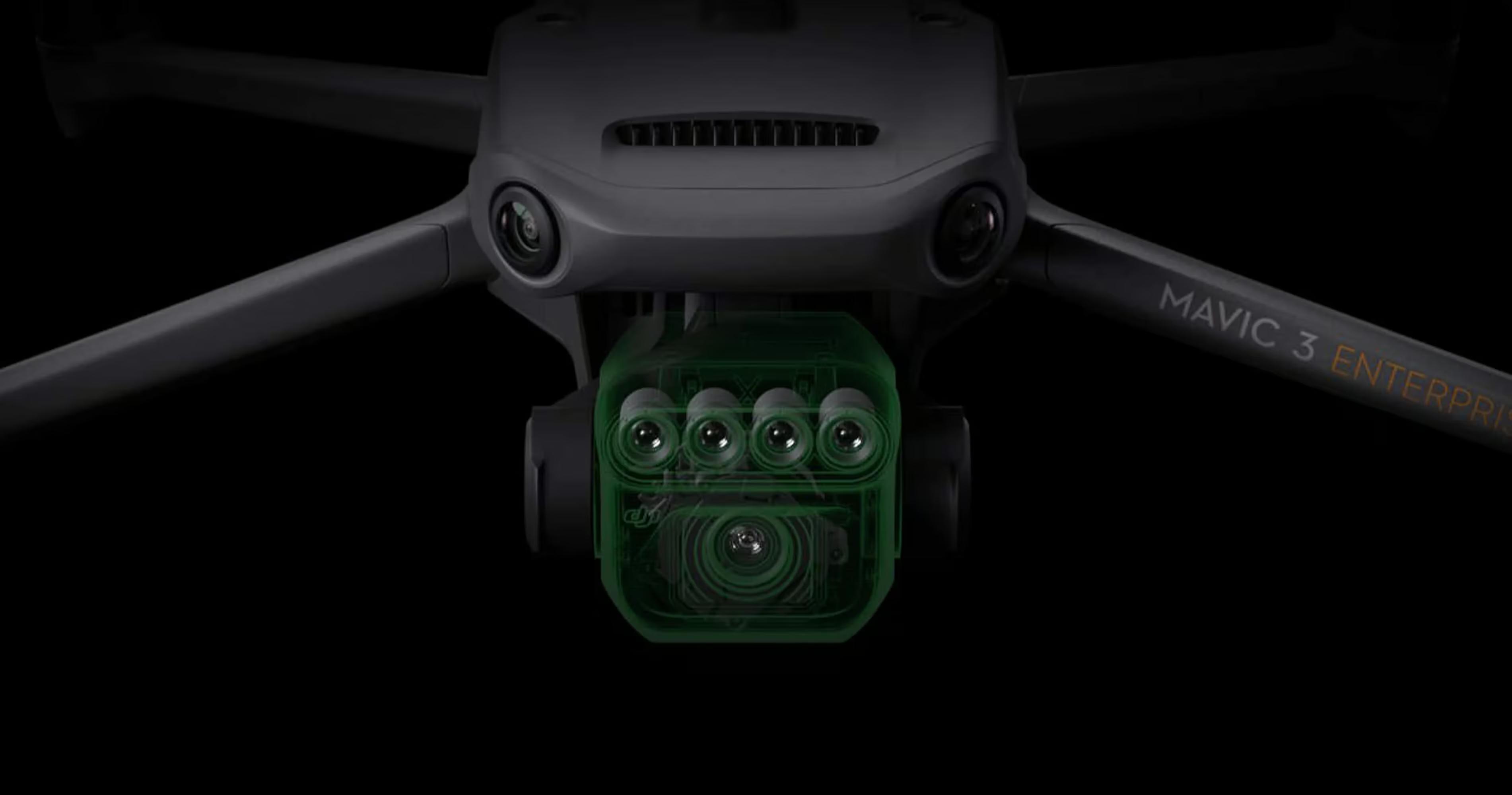
Highly Integrated Imaging System
Newly upgraded imaging system with one 20MP RGB camera and four 5MP multispectral cameras (green, red, red edge, and near infrared). Enables applications such as high-precision aerial surveying, crop growth monitoring, and natural resource surveys.
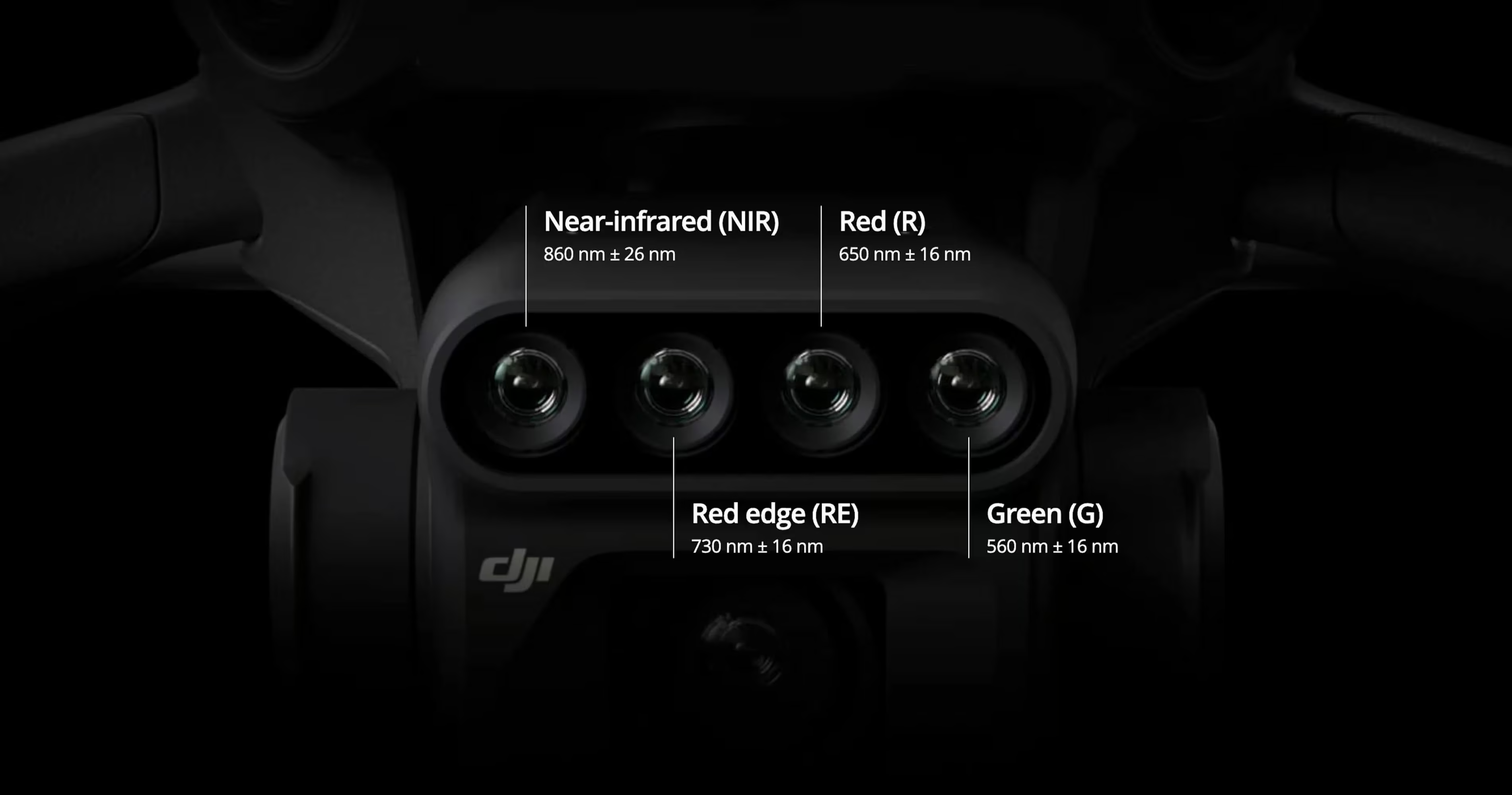
5 MP Multispectral Camera
-
Near-infrared(NIR) 860 ± 26nm
-
Red edge (RE) 730 ± 16nm
-
Red (R) 650 ± 16nm
-
Green (G) 560 ± 16nm
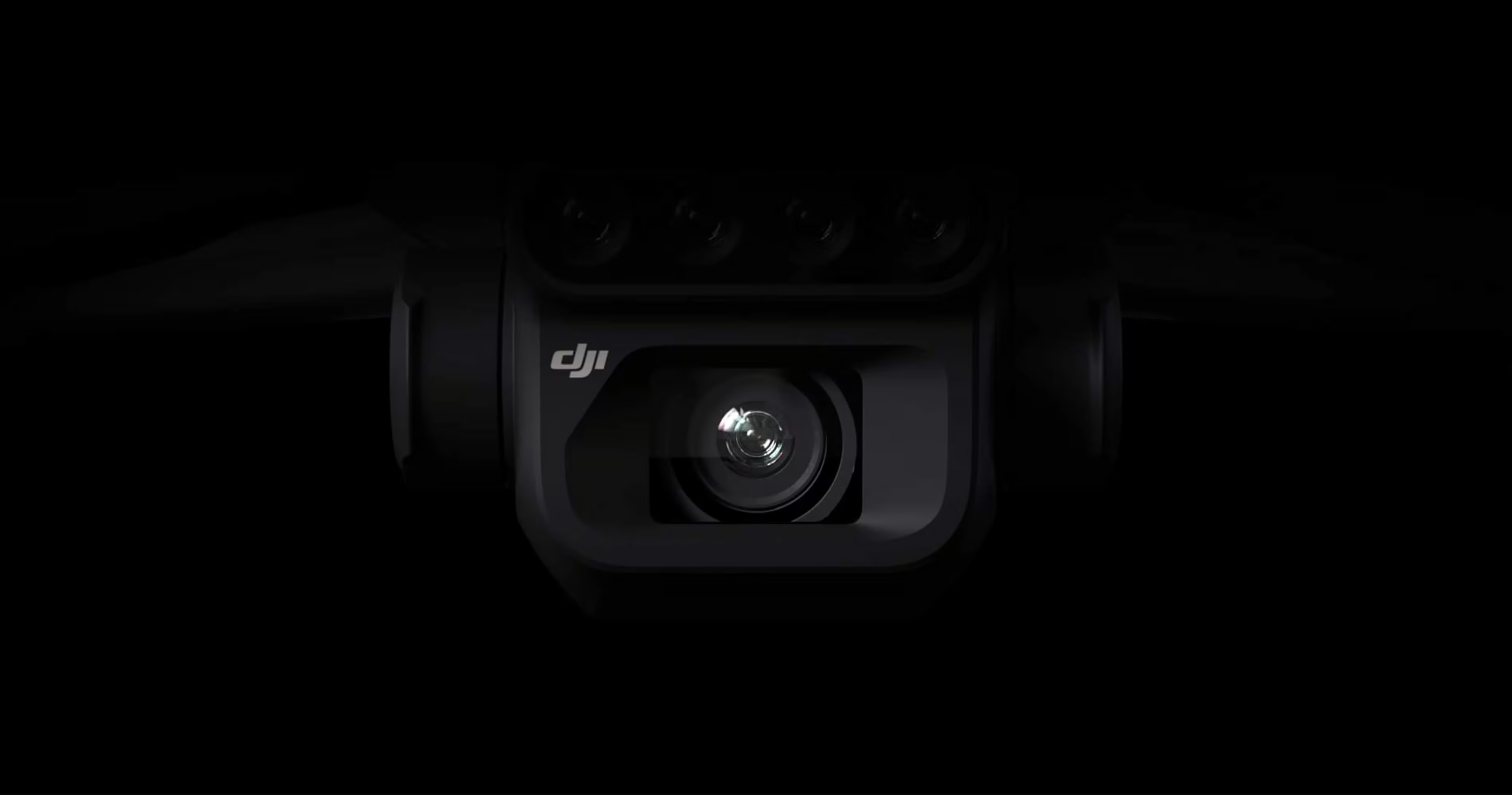
RGB Camera Characteristics
-
20MP image sensor
-
4/3 CMOS
-
Fastest mechanical shutter speed (1/2000s)
-
High-speed burst when RGB camera is used (0.7s)
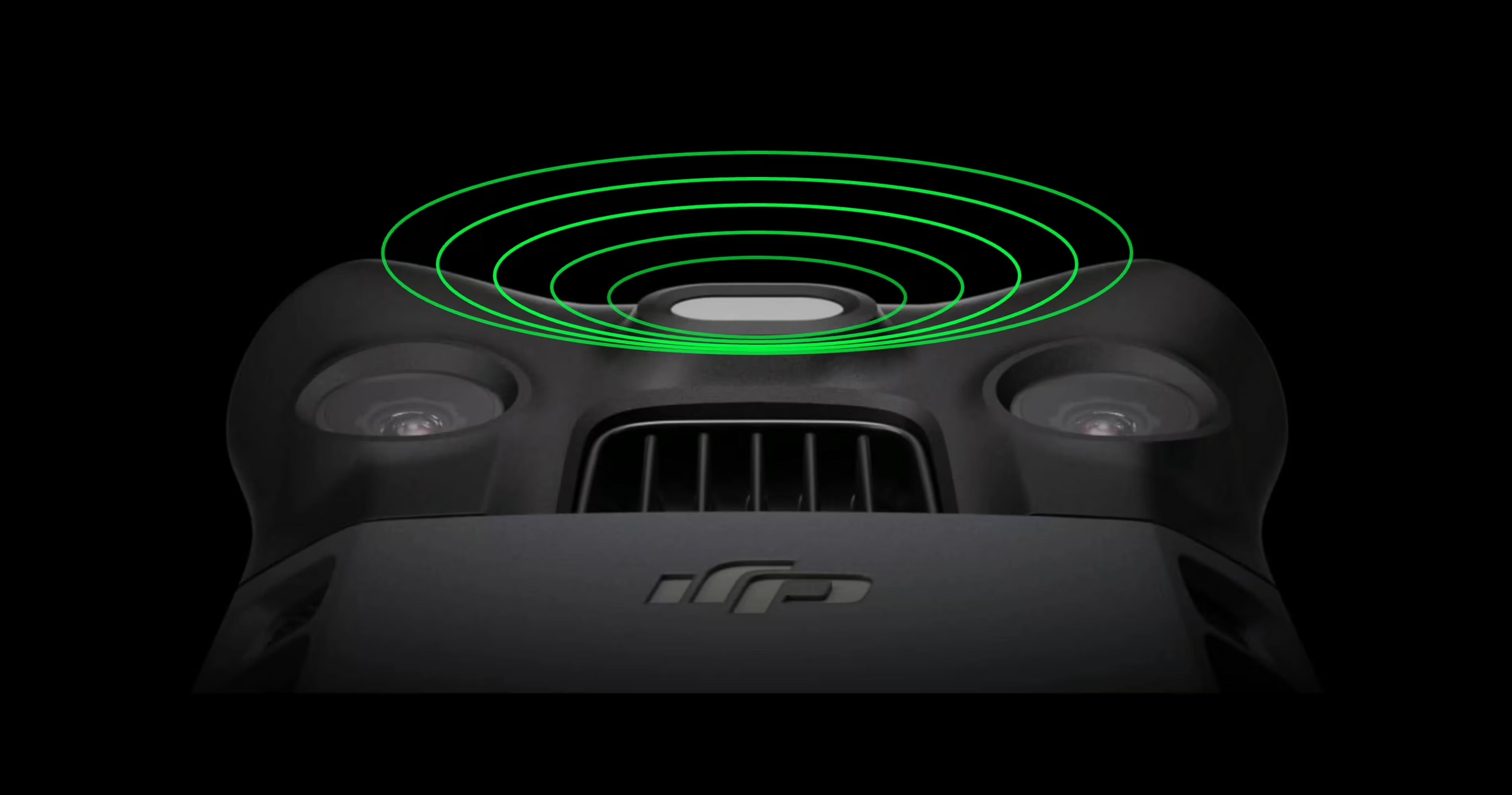
Sunlight Sensor
he built-in sunlight sensor captures solar irradiance and records it in an image file, allowing for light compensation of image data during 2D reconstruction. This results in more accurate NDVI results, as well as improved accuracy and consistency of data acquired over time.
Accurate images that capture every pixel
Mavic 3M with RTK module for centimeter-level positioning. Flight control, the camera, and the RTK module sync in microseconds to accurately capture the location of each camera’s imaging center. This enables Mavic 3M to do high-precision aerial surveying without using ground control points.
Need a Quote?
We’ll Call You
Simply enter your contact details and one of our specialists will call you to discuss your requirements and provide a detailed quotation.
Data-Driven Aerial Solutions Across Agriculture and Environment
Mavic 3 Multispectral enables precise, scalable insights for a wide range of applications, from orchard mapping and variable-rate crop treatment to intelligent field scouting and environmental monitoring. By combining terrain-aware flight, multispectral data capture, and seamless integration with DJI Terra and the DJI SmartFarm Platform, it supports informed decision-making across farming, forestry, water management, and natural resource surveys. The result is greater efficiency, reduced input waste, and smarter management of land and ecosystems at scale.
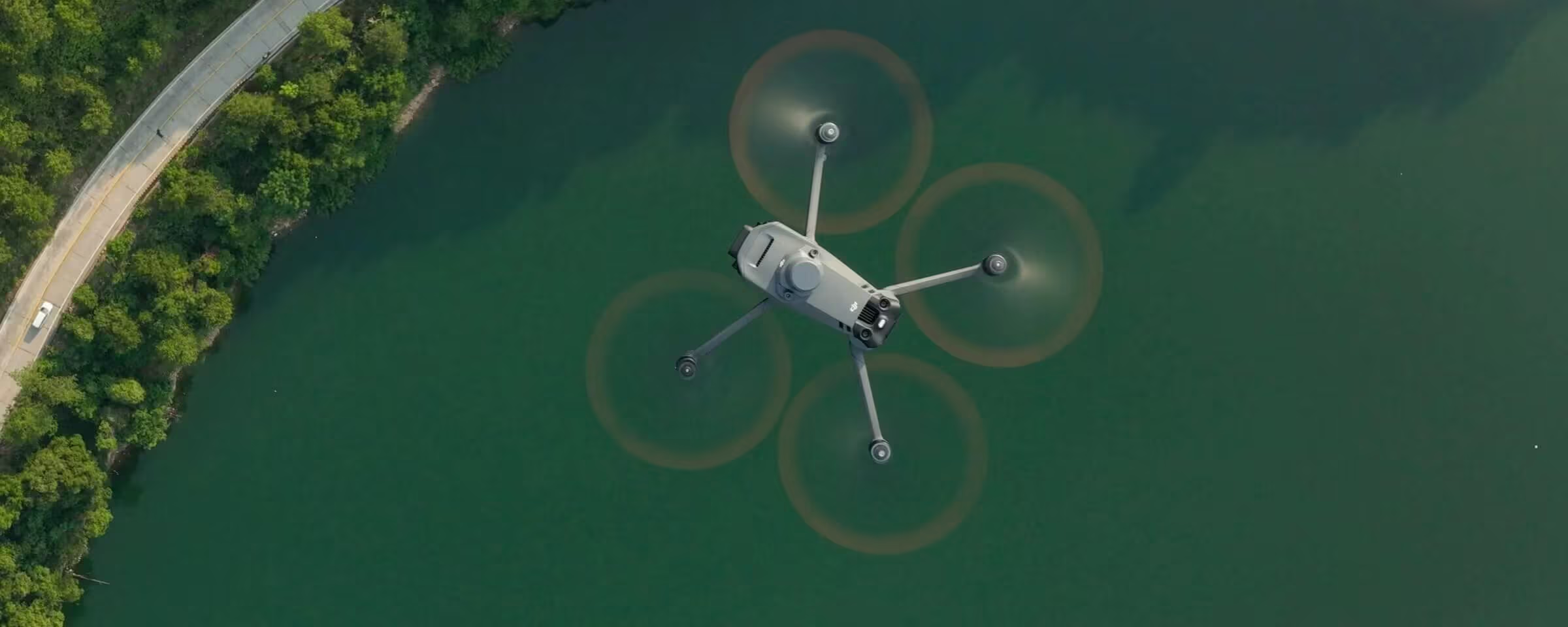
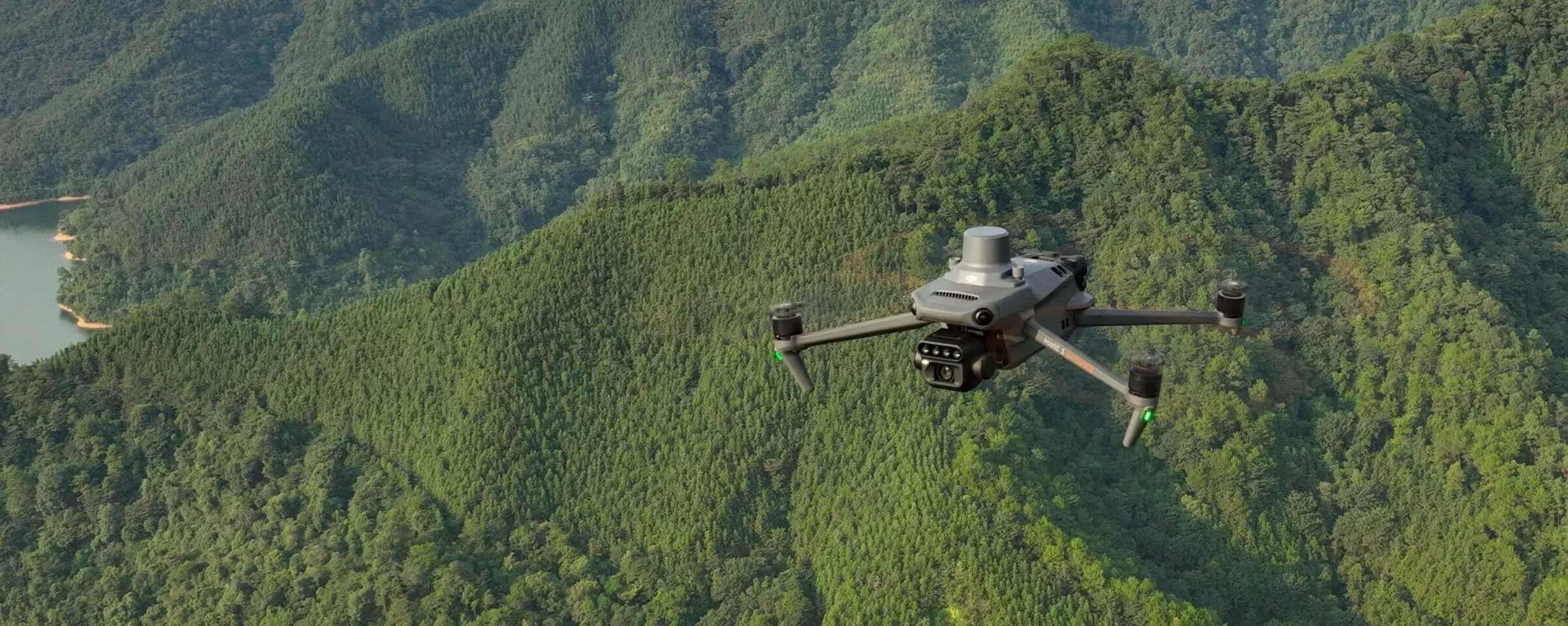
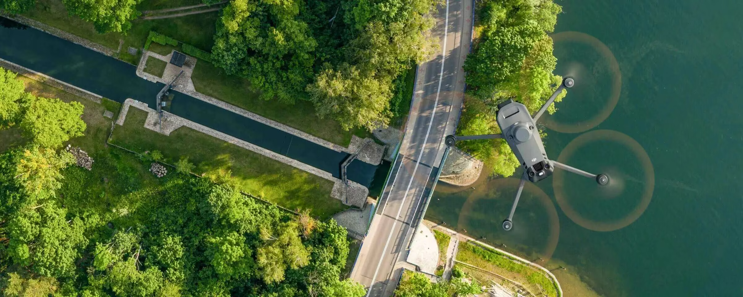
Environmental Monitoring and Natural Resources Survey
The Mavic 3M can also be used in environment and natural resource surveys, such as water enrichment monitoring, forest distribution surveys, urban green area surveys, and more.
Comprehensive Software for Every Mission
The Mavic 3 Enterprise Series comes with a full suite of software to streamline operations. From DJI Terra for 2D and 3D mapping, DJI Pilot 2 for intuitive flight control, DJI FlightHub 2 for cloud-based fleet management, to DJI Thermal Analyses Tool 3.0 for advanced thermal inspections, every stage of your workflow is covered efficiently and seamlessly.
Need a Quote?
We’ll Call You
Simply enter your contact details and one of our specialists will call you to discuss your requirements and provide a detailed quotation.
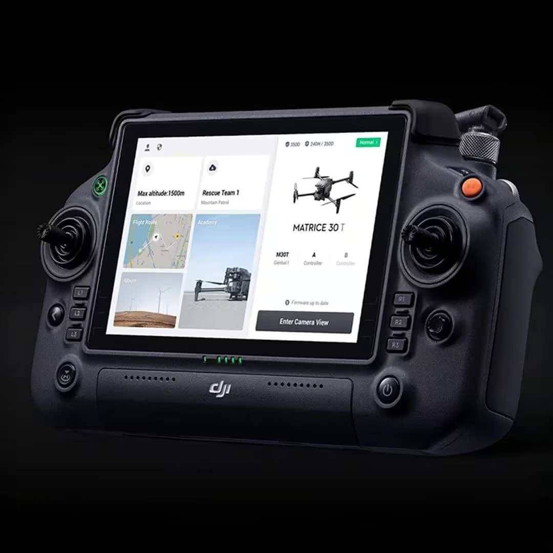
DJI Pilot2
Mavic 3E’s wide-angle 4/3 CMOS, 20MP sensor has a mechanical shutter to prevent motion blur and supports rapid 0.7-second interval shooting. Complete mapping missions with extraordinary efficiency without the need for Ground Control Points.
DJI FlightHub2
Mavic 3E’s wide-angle 4/3 CMOS, 20MP sensor has a mechanical shutter to prevent motion blur and supports rapid 0.7-second interval shooting. Complete mapping missions with extraordinary efficiency without the need for Ground Control Points.
DJI Thermal Analyses Tool 3.0
Analyze, annotate, and process images captured by M3T using DTAT 3.0 to detect temperature abnormalities in your inspections.
DJI Terra
Full featured mapping software for all stages of work, from mission planning to processing of 2D and 3D models.
Comprehensive User Data Security for Protected and Private Operations
Mavic 3 Enterprise ensures your data stays protected at every stage. Local Data Mode keeps information on the device, one-tap clearing removes all stored data, AES-256 encryption secures video transmission, and Cloud API integration provides controlled access for safe, compliant workflows.
Local Data Mode
One-Tap Clear All Device Data
AES-256 Video Transmission Encryption
Cloud API
See the DJI Mavic 3 Multispectral in Action
Watch the Mavic 3 Multispectral demonstrate its advanced imaging, extended flight time, and precision performance in real-world missions.
Related Images
Need a Quote?
We’ll Call You
Simply enter your contact details and one of our specialists will call you to discuss your requirements and provide a detailed quotation.
-

Matrice 4 Series
The DJI Matrice 4 Series is DJI’s latest intelligent, compact, and multi-sensor flagship enterprise drone. -

DJI Matrice 400
Built for strength, reliability, and versatility. Delivering intelligent performance.