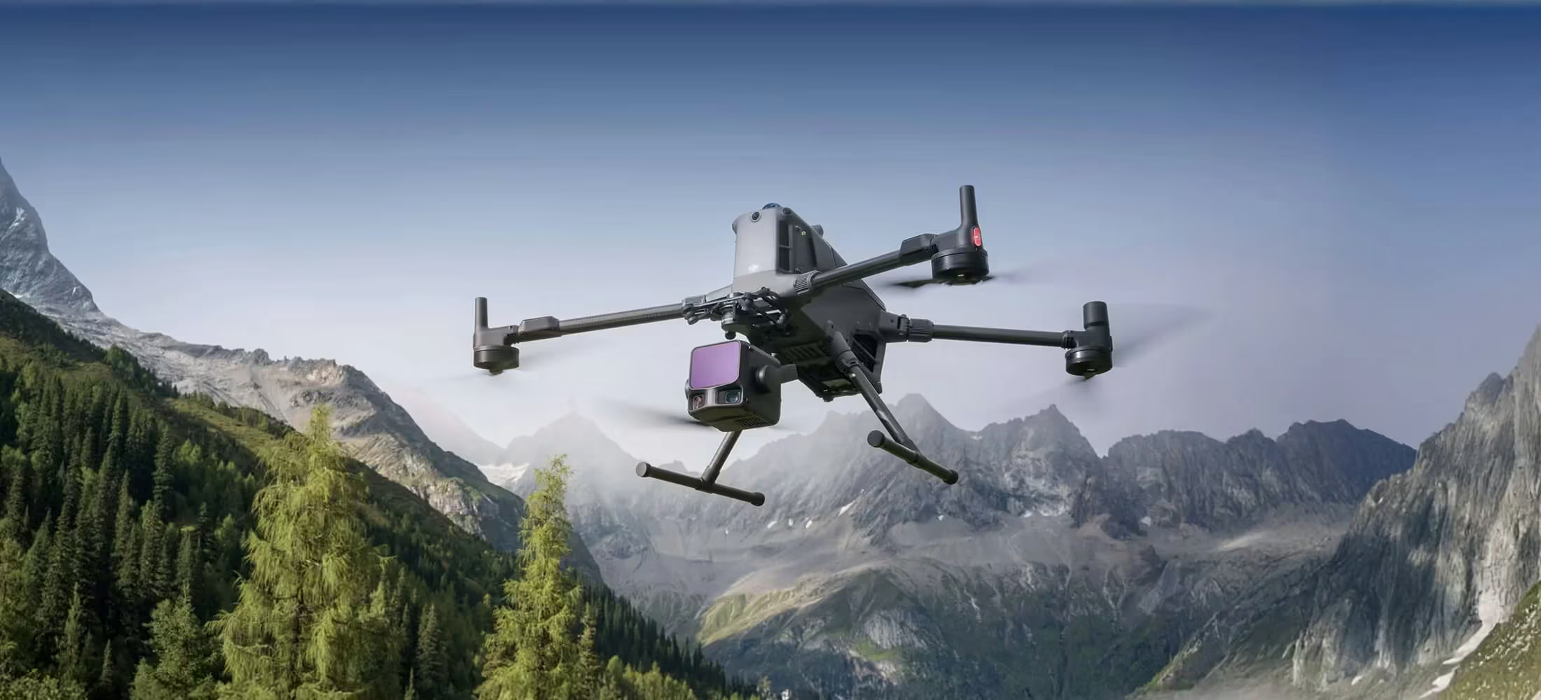
Zenmuse L3
See Through, Far and True
Need a Quote?
We’ll Call You
Simply enter your contact details and one of our specialists will call you to discuss your requirements and provide a detailed quotation.
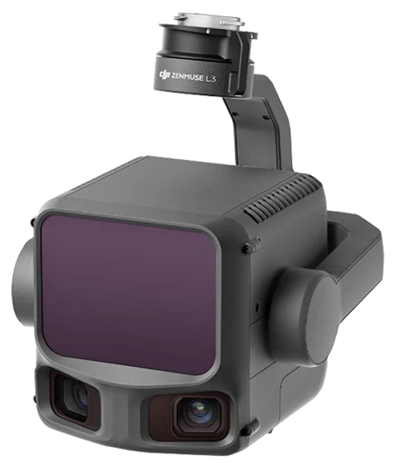
Hardware Performance Redefined
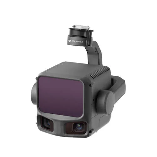
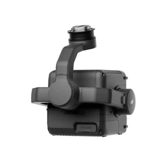
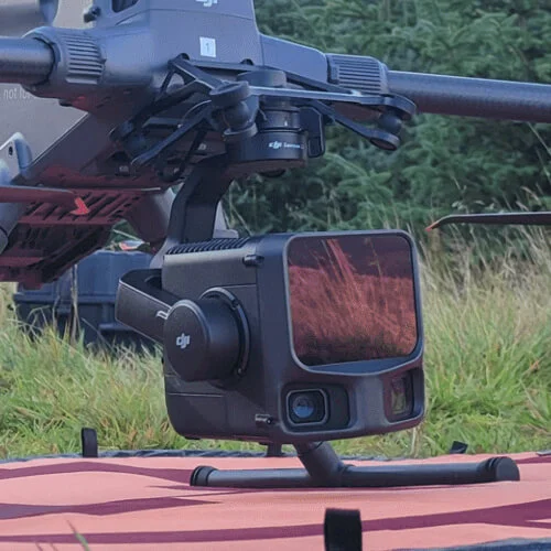
Zenmuse L3 integrates a 1535nm long-range LiDAR, dual 100MP RGB mapping cameras, a high-precision POS system, and a three-axis gimbal, all within a compact device, delivering unprecedented performance for its size.
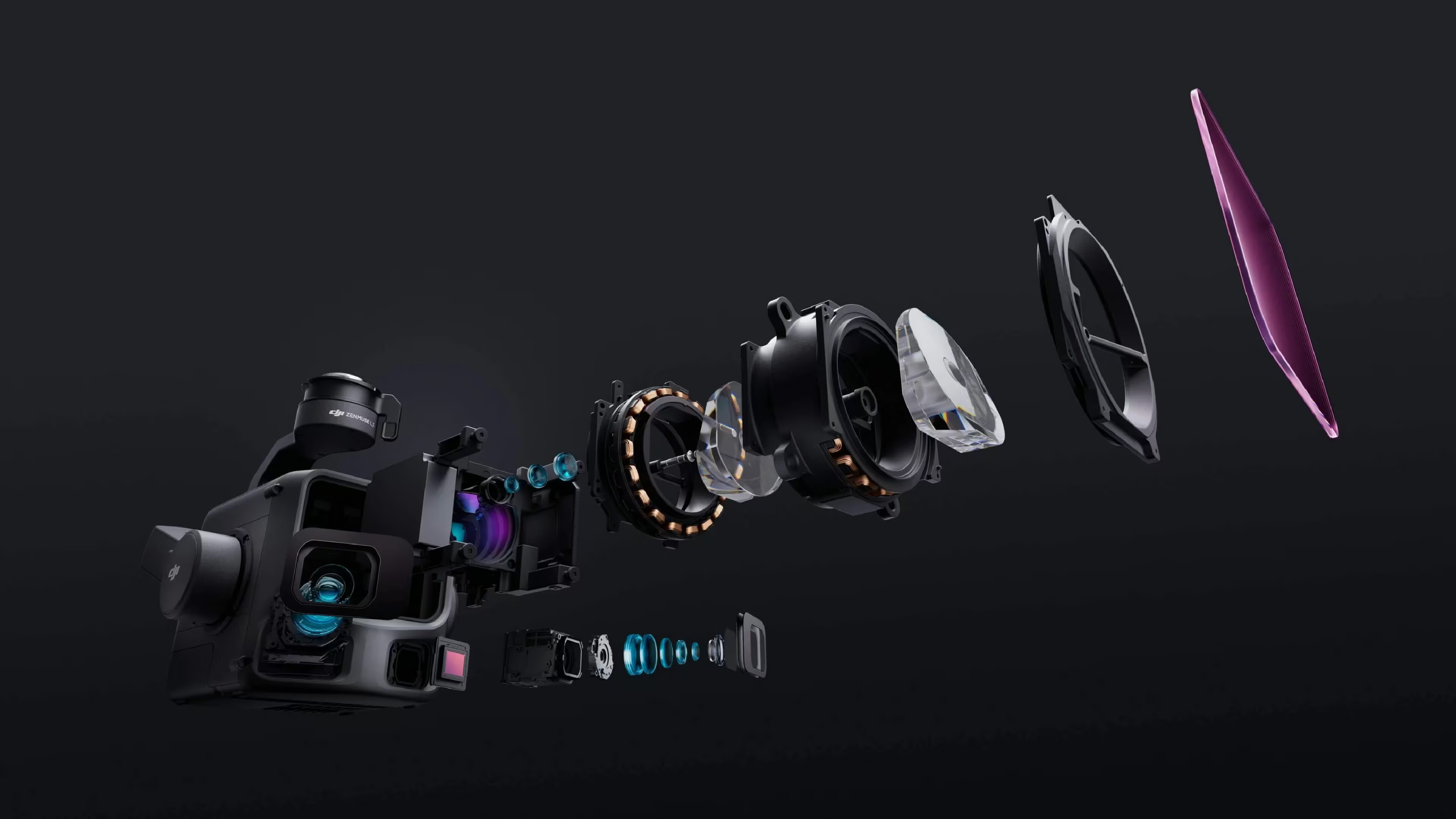
Dual 100MP RGB Mapping Camera System
Dual high-resolution RGB sensors combined with an ultra-wide field of view enable faster, more accurate aerial mapping with fewer passes. Advanced sensor technology and intelligent capture coverage ensure detailed color data and reliable results, even in challenging lighting conditions, while maximizing efficiency on every flight.
Need a Quote?
We’ll Call You
Simply enter your contact details and one of our specialists will call you to discuss your requirements and provide a detailed quotation.
Equipped with dual 100MP 4/3 CMOS RGB sensors and a mechanical shutter, Zenmuse L3 delivers significantly enhanced accuracy and efficiency. Pixel binning supports an effective 25MP resolution with larger pixel size, producing superior color reproduction even under poor lighting conditions.
Equipped with dual 100MP 4/3 CMOS RGB sensors and a mechanical shutter, Zenmuse L3 delivers significantly enhanced accuracy and efficiency. Pixel binning supports an effective 25MP resolution with larger pixel size, producing superior color reproduction even under poor lighting conditions.
Accuracy Meets Efficiency
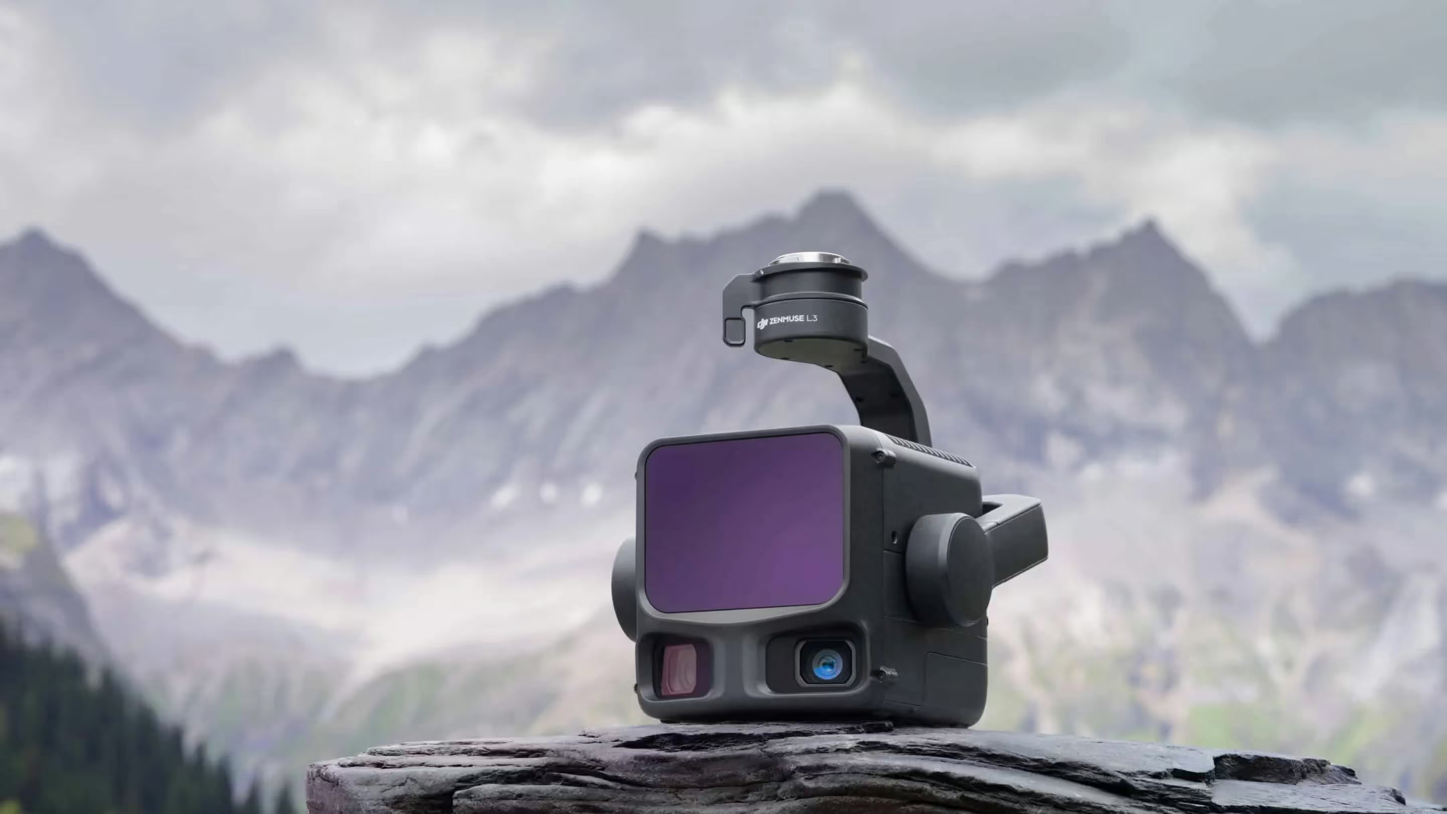
High Accuracy
Proprietary High-Precision System
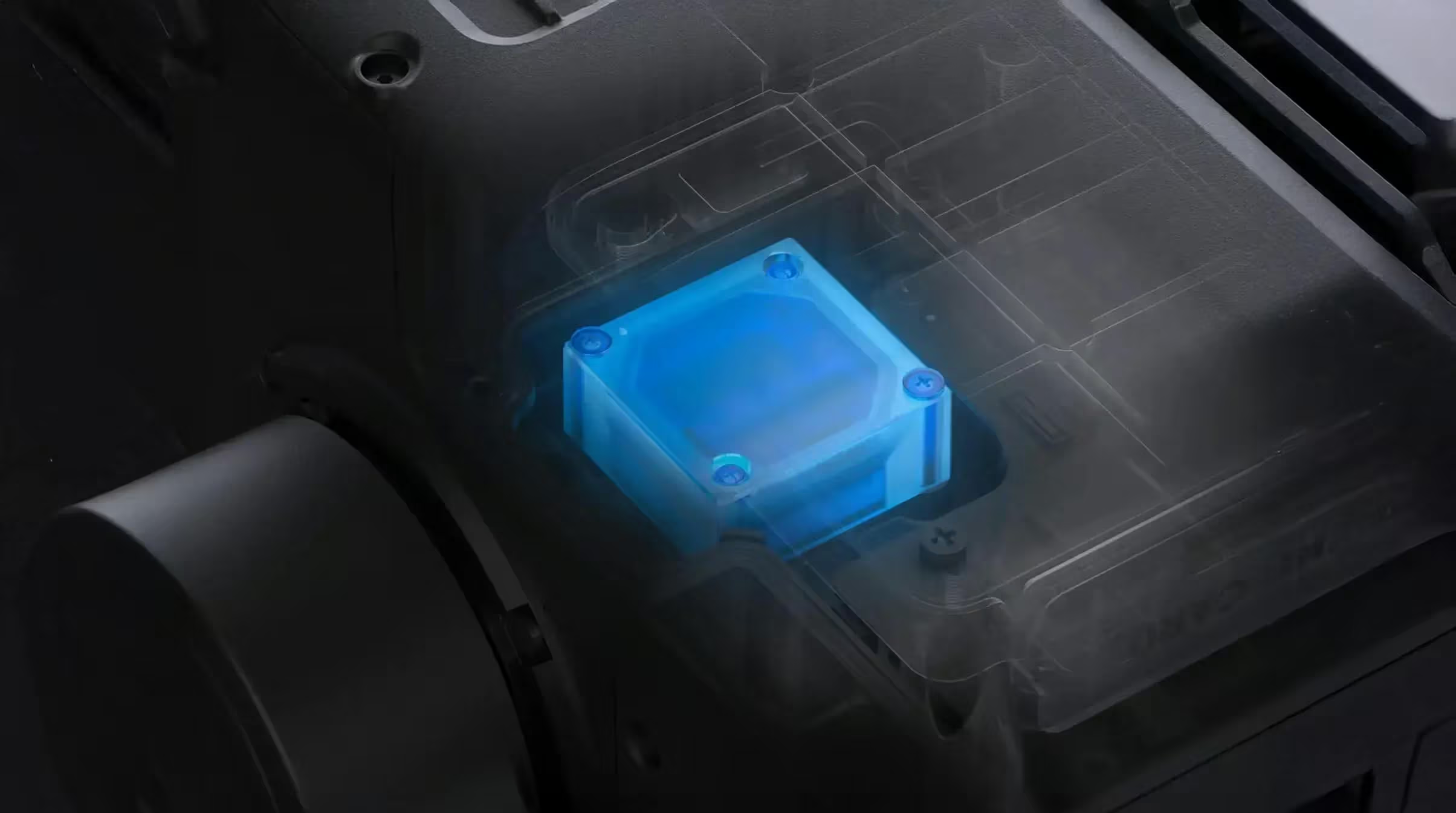
The upgraded high-precision POS system achieves heading accuracy of 0.02° and pitch accuracy of 0.01° (post-processed, 1σ). The self-developed LiDAR delivers ranging repeatability of 5 mm at 150 m (1σ) and supports microsecond-level time synchronization. Each unit undergoes rigorous factory calibration to ensure consistently reliable survey results.
LiDAR Data Accuracy
Vertical accuracy is better than 3 cm at 120m altitude, better than 5 cm at 300 m, and better than 10 cm at 500m, easily supporting mapping projects at 1:500, 1:1000, and 1:2000 scales. The point cloud thickness produced by Zenmuse L3 is only half that of Zenmuse L2, supporting advanced analysis and high-accuracy applications.
Photogrammetric Accuracy
With dual 100MP RGB mapping cameras, Zenmuse L3 achieves a ground sample distance (GSD) of 3 cm even at a 300m flight altitude. Real-time position synchronization enables operation without ground control points (GCPs), ensuring high-quality imagery for precise mapping.
From Capture to Insight, With Unmatched Precision
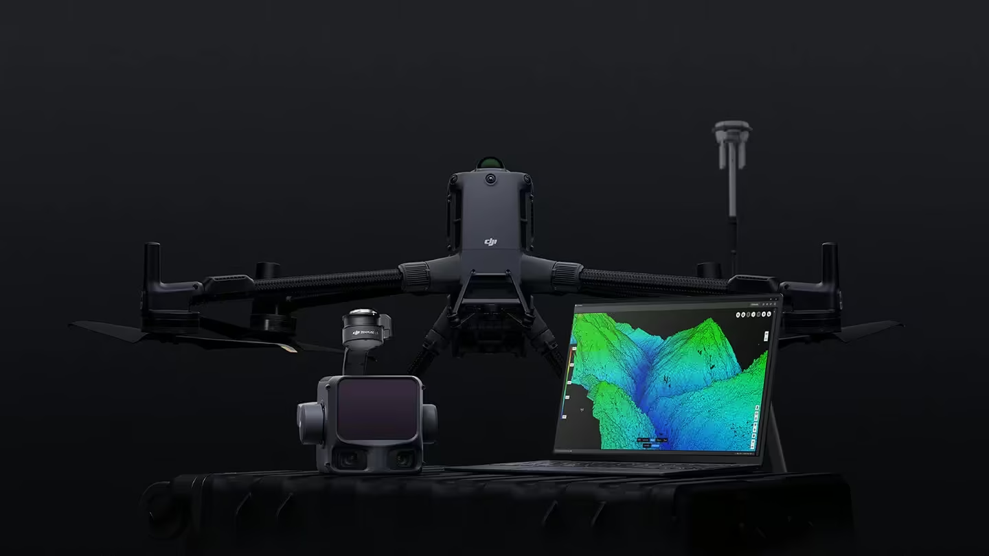
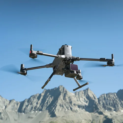
Zenmuse L3 delivers significant improvements in both point cloud and RGB accuracy, while raising efficiency to new heights. Paired with DJI Matrice 400, a single flight can cover up to 10 km², enabling up to 100 km² of high-accuracy mapping per day. Large-area, high-accuracy results are delivered in a seamless workflow.
Need a Quote?
We’ll Call You
Simply enter your contact details and one of our specialists will call you to discuss your requirements and provide a detailed quotation.
Data Processing
DJI Terra features robust built-in PPK (Post-Processed Kinematic) capabilities, compatible with D-RTK 3 and standard base station data. The platform supports local PPK for RGB imagery and LiDAR, providing centimeter-level positioning accuracy even in areas with limited network connectivity or where RTK is unavailable.
DJI Terra enables advanced Gaussian Splatting fusion-based reconstruction of point cloud and RGB data collected by Zenmuse L3, dramatically enhancing the realism and detail of 3D models. This capability broadens the application scope of LiDAR across diverse mapping scenarios and delivers higher-quality 3D model outputs.
DJI Terra enables deep integration of LiDAR and RGB data. With a single acquisition, users can simultaneously generate high-accuracy point clouds, 2D maps, and 3D mesh models. This data fusion approach significantly enhances model completeness and detail, especially in environments with complex structures such as bridges and substations. It meets the needs of industries including energy, transportation, and infrastructure.
Data Acquisition
DJI Modify supports intelligent semantic classification of point clouds, automatically distinguishing ground, vegetation, buildings, wires, electric towers, and more. After classification, users can efficiently adjust categories using Quick Selection and Structure Selection tools, further enhancing classification accuracy and processing efficiency.
DJI Modify’s Profile tool allows users to flexibly select cross-sectional areas of point cloud models for intuitive analysis of terrain variation, structural features, and elevation profiles.
When paired with DJI Modify, Zenmuse L3 delivers versatile outputs. DJI Modify automatically generates a wide range of mapping products from point cloud data—including semantic point clouds, DEM, TIN, point grids, and contour lines—and supports multi-layer visualization. These outputs meet the diverse needs of engineering and design CAD-related workflows.
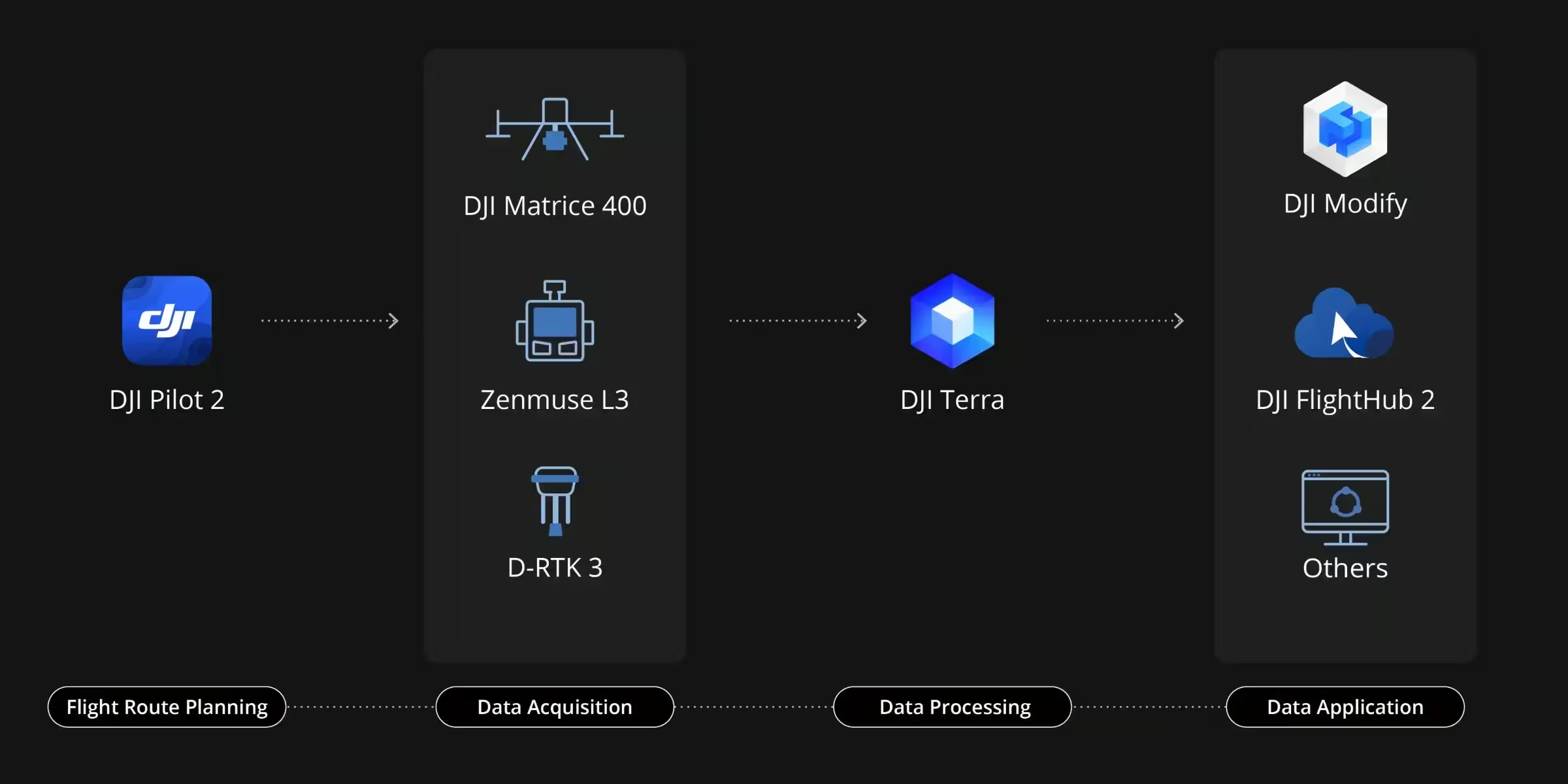
End-To-End Solution
Delivers a complete workflow covering data capture, processing, and application.
Data Security
See the Zenmuse L3 Series in Action
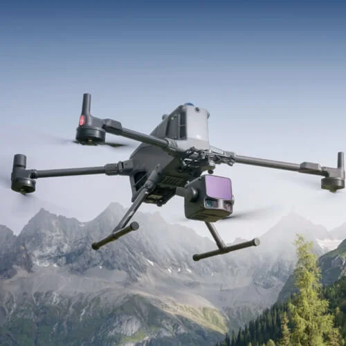
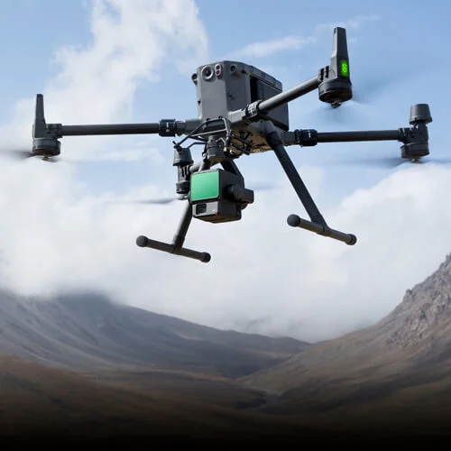
Explore how the Zenmuse L3 Series captures high-accuracy LiDAR and RGB data in real-world missions, delivering powerful insights and efficient workflows from takeoff to final output.

Related Images
Need a Quote?
We’ll Call You
Simply enter your contact details and one of our specialists will call you to discuss your requirements and provide a detailed quotation.
-

Zenmuse V1
A powerful aerial loudspeaker payload designed for clear, long-range communication from the sky, the Zenmuse V1 brings reliable audio performance to operational missions. -

Zenmuse S1
Illuminate critical operations with the DJI Zenmuse S1, a powerful aerial spotlight built for enterprise drone platforms. -

Zenmuse P1
Built for large-scale mapping and surveying, Zenmuse P1 delivers high-resolution aerial imagery with dependable accuracy. -
Zenmuse L2
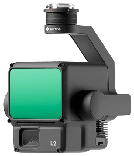
Zenmuse L2 is a high-performance LiDAR payload built for accurate and efficient aerial surveying. -
Zenmuse H30 Series
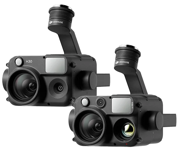
The all-weather Zenmuse H30 Series combines five powerful modules, including zoom, wide-angle, thermal imaging, and a laser range finder, into one advanced multi-sensor payload.