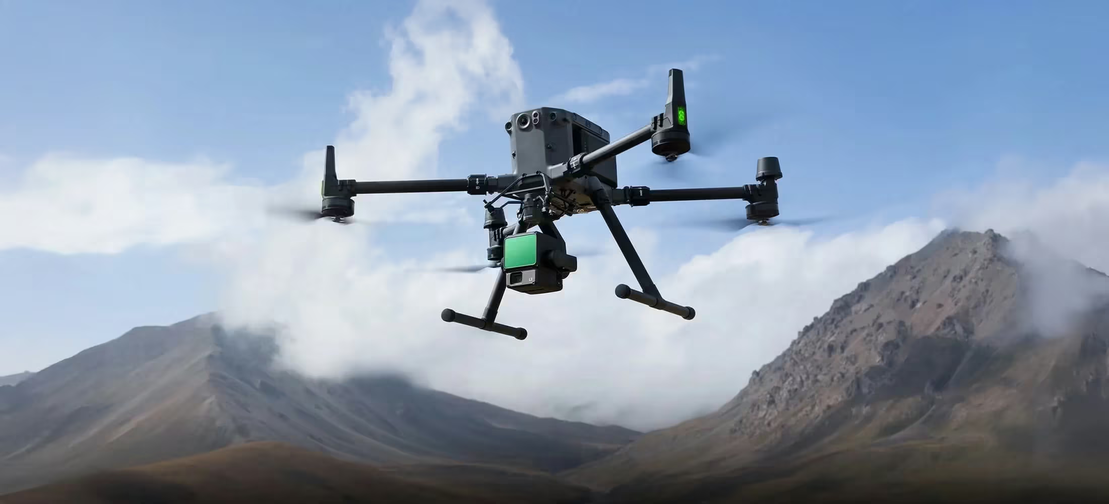
Zenmuse L2
Powerful Range, Elevated Precision
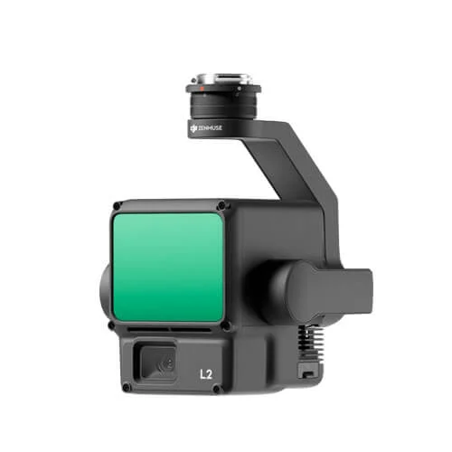
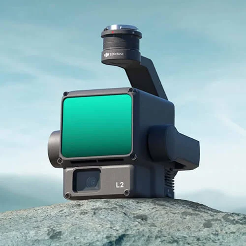
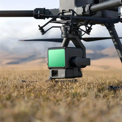
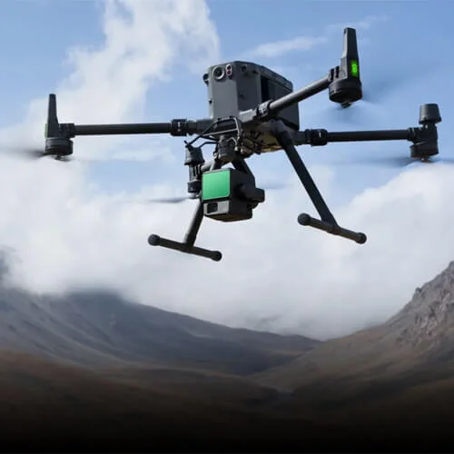
Zenmuse L2 is a high-performance LiDAR payload built for accurate and efficient aerial surveying. Combining long-range detection, dense point cloud capture, and real-time data preview, it enables faster coverage of large areas with reliable results. When paired with DJI Terra, it delivers a streamlined workflow from data capture through to precise 3D outputs.
Need a Quote?
We’ll Call You
Simply enter your contact details and one of our specialists will call you to discuss your requirements and provide a detailed quotation.
High-Accuracy Mapping, Elevated Efficiency
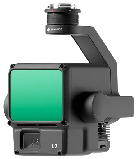
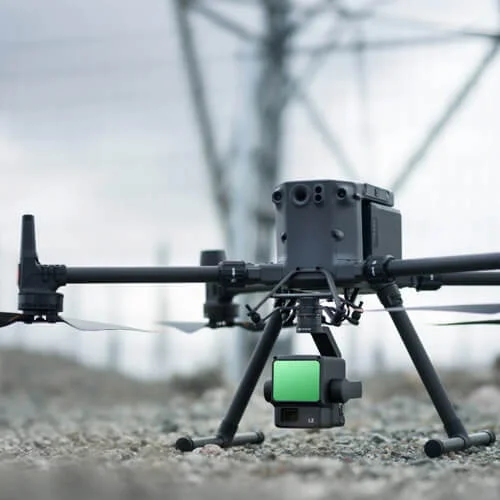
Zenmuse L2 integrates frame LiDAR, a self-developed high-accuracy IMU system, and a 4/3 CMOS RGB mapping camera, providing DJI flight platforms with more precise, efficient, and reliable geospatial data acquisition. When used with DJI Terra, it delivers a turnkey solution for 3D data collection and high-accuracy post-processing.
High Precision
Vertical Accuracy: 4 cm;
Horizontal Accuracy: 5 cm
Exceptional Efficiency
Superior Penetration
Smaller laser spots, denser point clouds
Detection Range
250m @10% reflectivity, 100klx
450m @50% reflectivity, 0klx
5 Returns
Turnkey Solution
Point Cloud LiveView
One-Click Processing on DJI Terra
Integrated LiDAR Solution
Supported by its powerful hardware, L2 can allow for a precise scan of complex subjects within an extended range and faster point cloud acquisition. During operations, users can preview, playback, and process point cloud models on-site, with Task Quality Reports generated by DJI Terra, offering a simple, one-stop solution to improve overall efficiency. This enables users to achieve high-precision point cloud results with one-stop post-processing.
Need a Quote?
We’ll Call You
Simply enter your contact details and one of our specialists will call you to discuss your requirements and provide a detailed quotation.
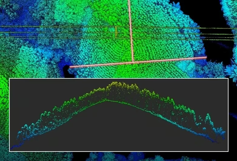
High-Level Precision
By combining GNSS and a high-accuracy self-developed IMU, this solution achieves 4cm vertical accuracy and 5cm horizontal accuracy.
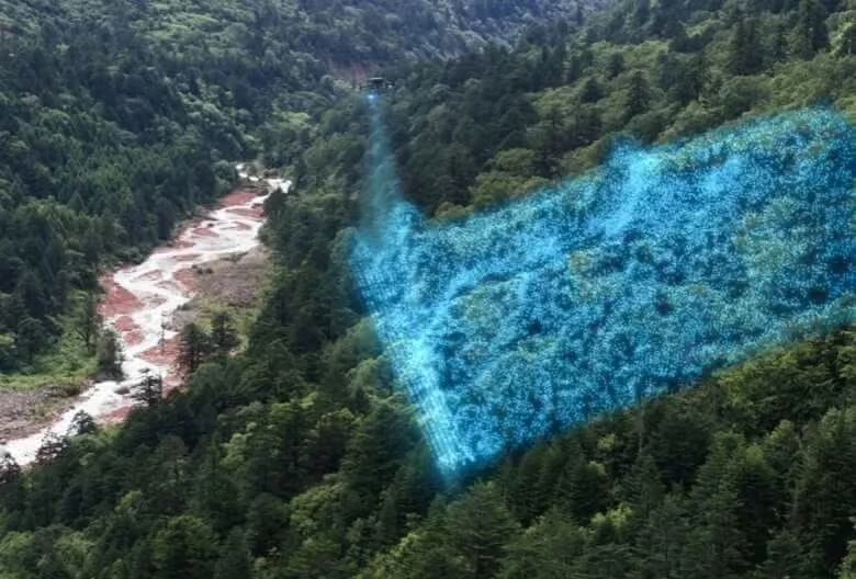
Exceptional Efficiency
It’s ready for work as soon as it’s powered on and can collect both geospatial and RGB data from a 2.5km2 area in a single flight.
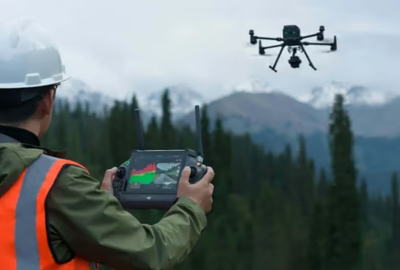
Intuitive Operation
In conjunction with Matrice 350 RTK and DJI Terra, L2 offers a turnkey solution that is simple to use, lowering the operational threshold.
Frame-Based LiDAR
High-Accuracy IMU System
L2’s advanced IMU, paired with RTK data fusion, delivers ultra-precise positioning, speed, and orientation. With exceptional yaw, pitch, and roll accuracy in challenging environments, this system ensures reliable, high-accuracy data for every mission.
Need a Quote?
We’ll Call You
Simply enter your contact details and one of our specialists will call you to discuss your requirements and provide a detailed quotation.
RGB Mapping Camera
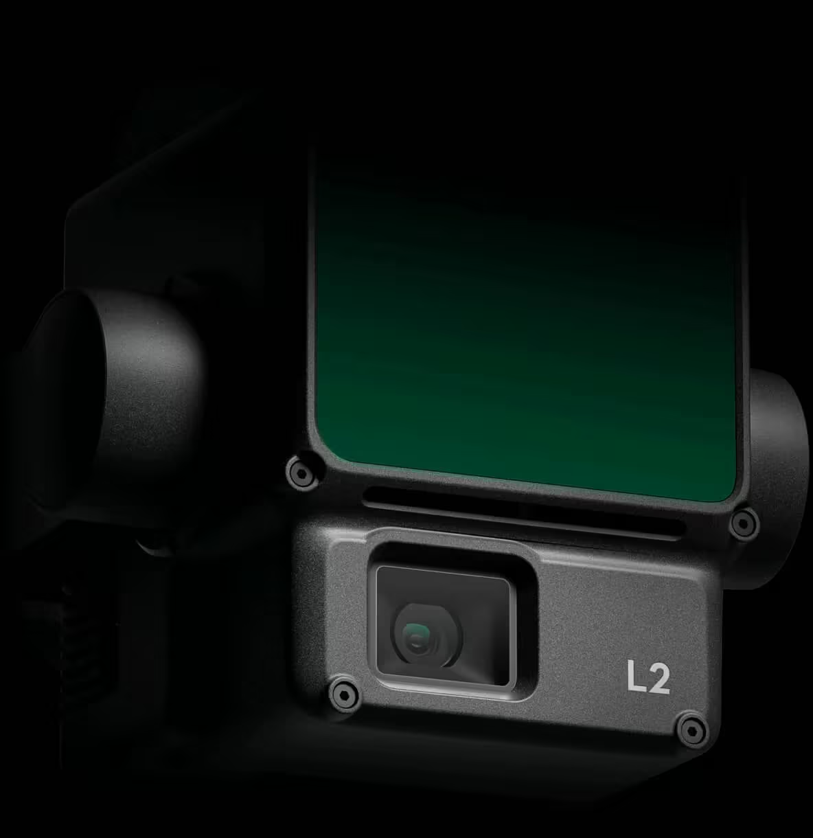
4/3 CMOS, Mechanical Shutter
Pixel size has been enlarged to 3.3 μm, and effective pixels now reach 20 MP, resulting in a significant improvement in overall imaging, as well as more enriched true-color point cloud details. The minimum photo interval has been reduced to 0.7 seconds. The mapping camera has a shutter count of up to 200,000 times, further reducing operational costs. When point cloud collection is not needed, the RGB camera can still take photos and videos, or collect images for visible light mapping.
Enhanced Operational Experience
Zenmuse L2 simplifies complex surveying tasks with flexible flight routes, real-time point cloud visualization, and intuitive on-site previews. Automatic task reports, live distance measurements, and seamless integration with DJI Terra make data collection, analysis, and post-processing faster and more reliable, enhancing efficiency and confidence in every operation.
Need a Quote?
We’ll Call You
Simply enter your contact details and one of our specialists will call you to discuss your requirements and provide a detailed quotation.
See the Zenmuse L3 Series in Action
Explore how the Zenmuse L3 Series captures high-accuracy LiDAR and RGB data in real-world missions, delivering powerful insights and efficient workflows from takeoff to final output.
Related Images

Need a Quote?
We’ll Call You
Simply enter your contact details and one of our specialists will call you to discuss your requirements and provide a detailed quotation.
-

Zenmuse V1
A powerful aerial loudspeaker payload designed for clear, long-range communication from the sky, the Zenmuse V1 brings reliable audio performance to operational missions. -

Zenmuse S1
Illuminate critical operations with the DJI Zenmuse S1, a powerful aerial spotlight built for enterprise drone platforms. -

Zenmuse P1
Built for large-scale mapping and surveying, Zenmuse P1 delivers high-resolution aerial imagery with dependable accuracy. -
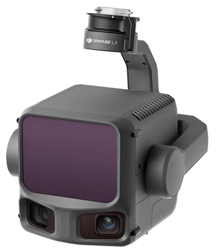
Zenmuse L3
DJI’s next-generation high-accuracy aerial LiDAR system features a long-range LiDAR. -
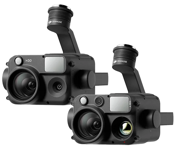
Zenmuse H30 Series
The all-weather Zenmuse H30 Series combines five powerful modules, including zoom, wide-angle, thermal imaging, and a laser range finder, into one advanced multi-sensor payload.