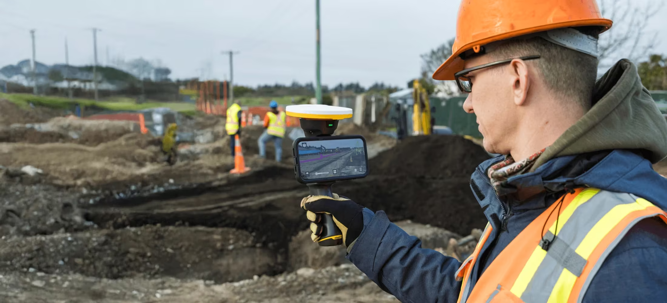
Trimble HPS2
Supercharge your phone with GNSS and an EDM
The Trimble® HPS2 handle combines the Trimble DA2 GNSS receiver with an EDM (electronic distance measurement). Compatible with data collection and visualization apps, it leverages modern smartphone cameras and sensors to be a lightweight and flexible field tool.
Need a Quote?
We’ll Call You
Simply enter your contact details and one of our specialists will call you to discuss your requirements and provide a detailed quotation.
Need a Quote?
We’ll Call You
Simply enter your contact details and one of our specialists will call you to discuss your requirements and provide a detailed quotation.

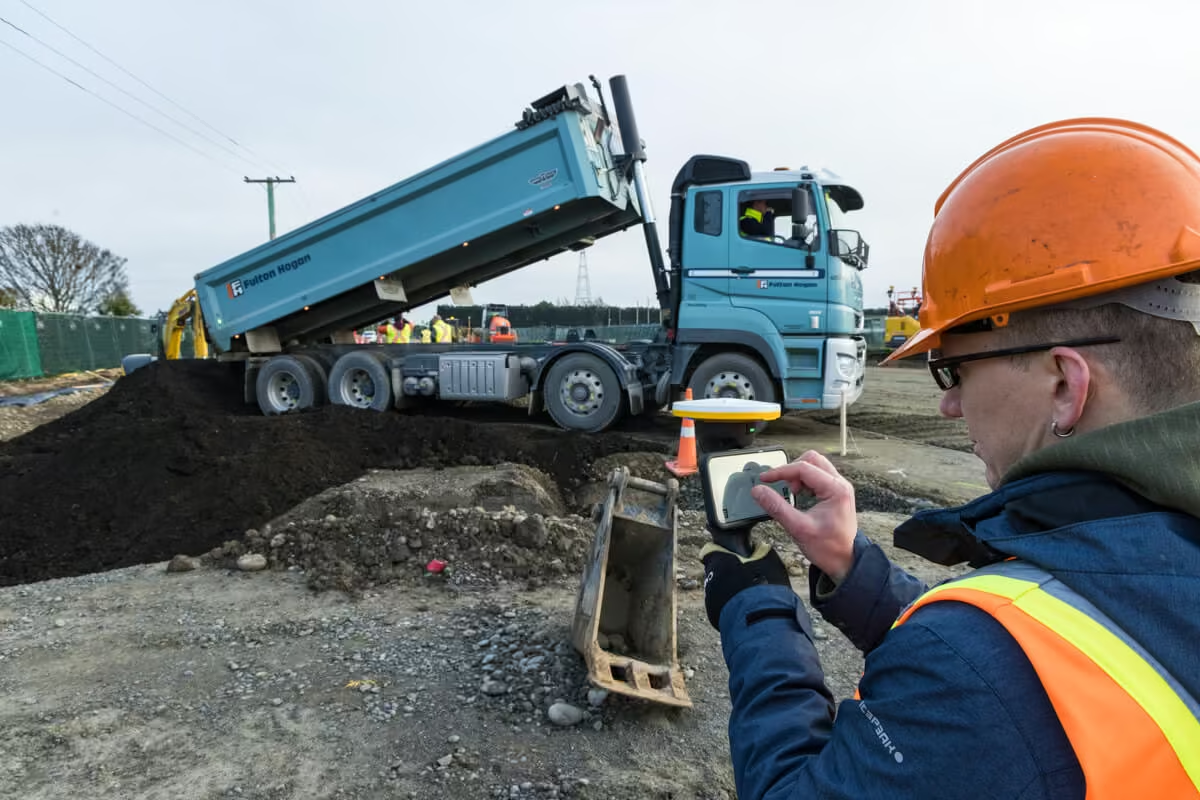
The HPS2 handle includes a GNSS receiver and EDM technology and pairs with Trimble field software to enable in-field data viewing and data collection.
Android or iOS
Compatible with smartphones
1cm H | 2cm V
Real-time kinematic accuracy
± 3 mm
EDM distance accuracy
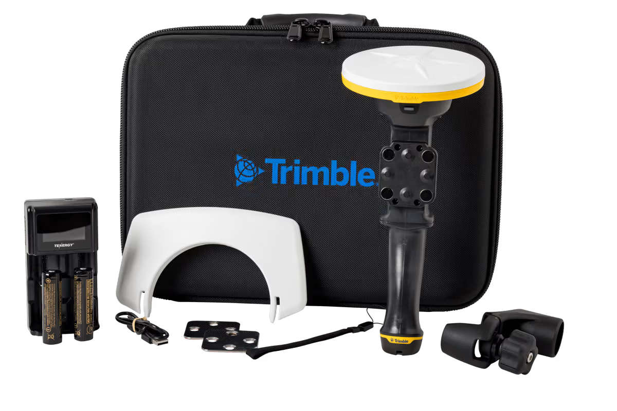
Precision, Portability, and Safety in One
The HPS2 combines GNSS corrections, high-precision point collection, and integrated EDM for safe, accurate data capture in challenging locations. Lightweight, wire-free, and ergonomically designed, it delivers a fully portable solution that streamlines field workflows and boosts efficiency.
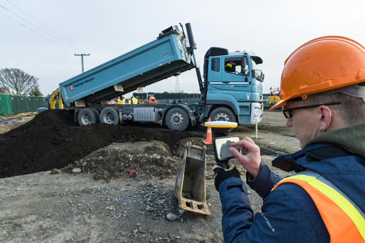
All-in-one solution
Trimble Catalyst™ supplies GNSS corrections to the DA2 receiver, delivering precise positioning without any special configuration or third-party connections.
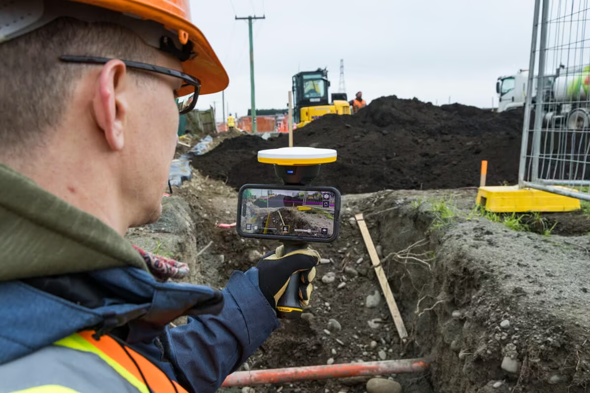
Accurate positions
The pole mount adapter (included) quickly converts the HPS2 handle to a high-precision GNSS rover for precise point collection.
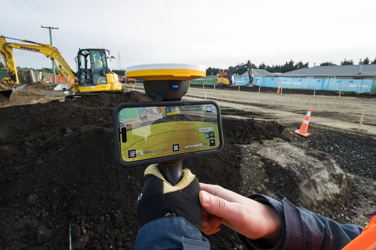
Collect points remotely
Safely collect points in challenging locations, such as trenches or stockpile sides, using the EDM integrated into the HPS2 handle.
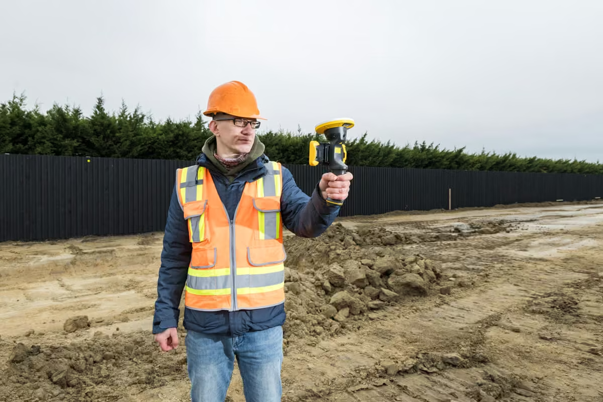
Portable by design
This lightweight, wire-free field solution has internal removable batteries, magnetic phone mount and an ergonomic design.
Industries & Applications Across the Project Lifecycle
Trimble solutions facilitate high-quality, productive workflows and data exchange, driving value for a global, diverse user base.
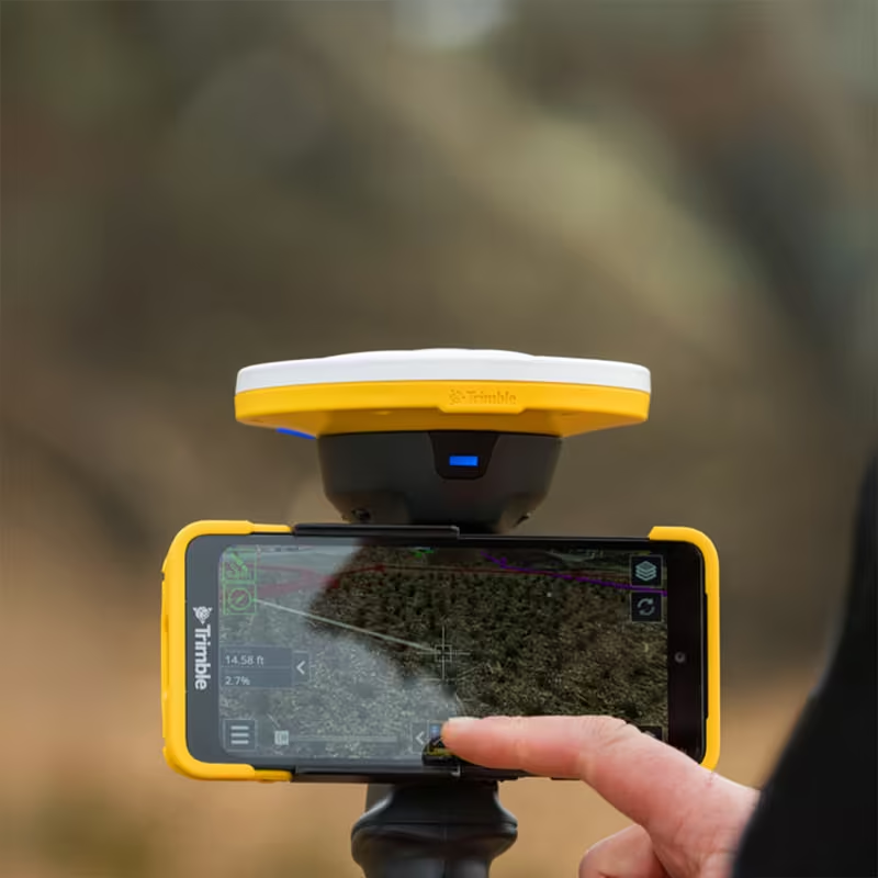
Industries that use this product
Pair the HPS2 handle with data collection and visualization apps for real-time analysis in any project, from utility replacement to building construction.
Applications for this product
Use the HPS2 handle during every project phase: from pre-construction planning to detecting design deviations during construction and long-term facility maintenance.
Key Specifications & Performance Details
The HPS2 is built for reliable, high-performance field use, combining precision, connectivity, and ease of operation to support efficient surveying and construction workflows.
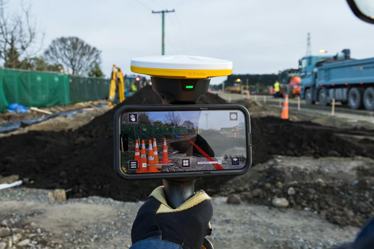
-
RTK accuracy
1cm H | 2cm V
-
EDM distance accuracy
± 3 mm
-
Corrections
Catalyst GNSS positioning service
-
Wireless connectivity
Bluetooth
-
Device mount
Magnetic steel plate
-
Battery
Replaceable, rechargeable battery
-
RTK accuracy
1cm H | 2cm V
-
EDM distance accuracy
± 3 mm
-
Corrections
Catalyst GNSS positioning service
-
Wireless connectivity
Bluetooth
-
Device mount
Magnetic steel plate
-
Battery
Replaceable, rechargeable battery
See the Trimble HSP2 in Action
Watch how the Trimble HSP2 combines GNSS and EDM technology to deliver fast, accurate in-field data collection and real-time insights.

Related Images




Need a Quote?
We’ll Call You
Simply enter your contact details and one of our specialists will call you to discuss your requirements and provide a detailed quotation.
Extend Your Capability with Related Devices
-

Penmap for Android
Trimble® Penmap® for Android™ is a powerful, yet incredibly straightforward, cloud-connected application for field surveying and high-accuracy GIS data collection.
-
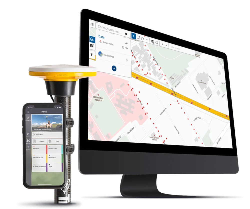
Terraflex
Imagine uniting easy, intuitive field data collection with the power of high-accuracy GNSS positioning in a single, streamlined application.
-

SiteVision
Imagine if you could see things that are hidden or that don’t actually exist yet. With the Trimble® SiteVision™ outdoor augmented reality system you can.
-

Trimble Access Subscription
Trimble® Access™ Subscription introduces flexible, scalable plans that make it easier for survey teams to adopt and expand Trimble Access based on project needs.
-
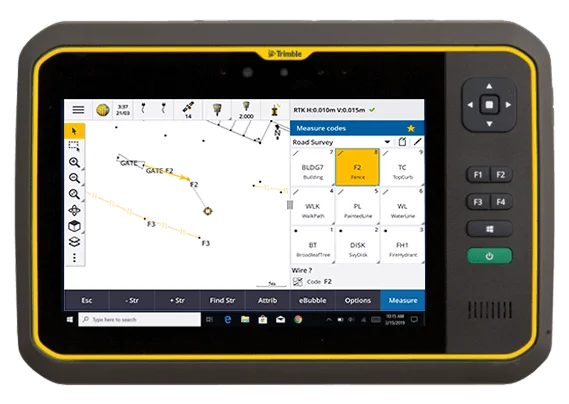
Trimble Access
Trimble® Access™ is a leading field software used by professional surveyors around the world, with functionality that supports efficiency, accuracy and ease of use.