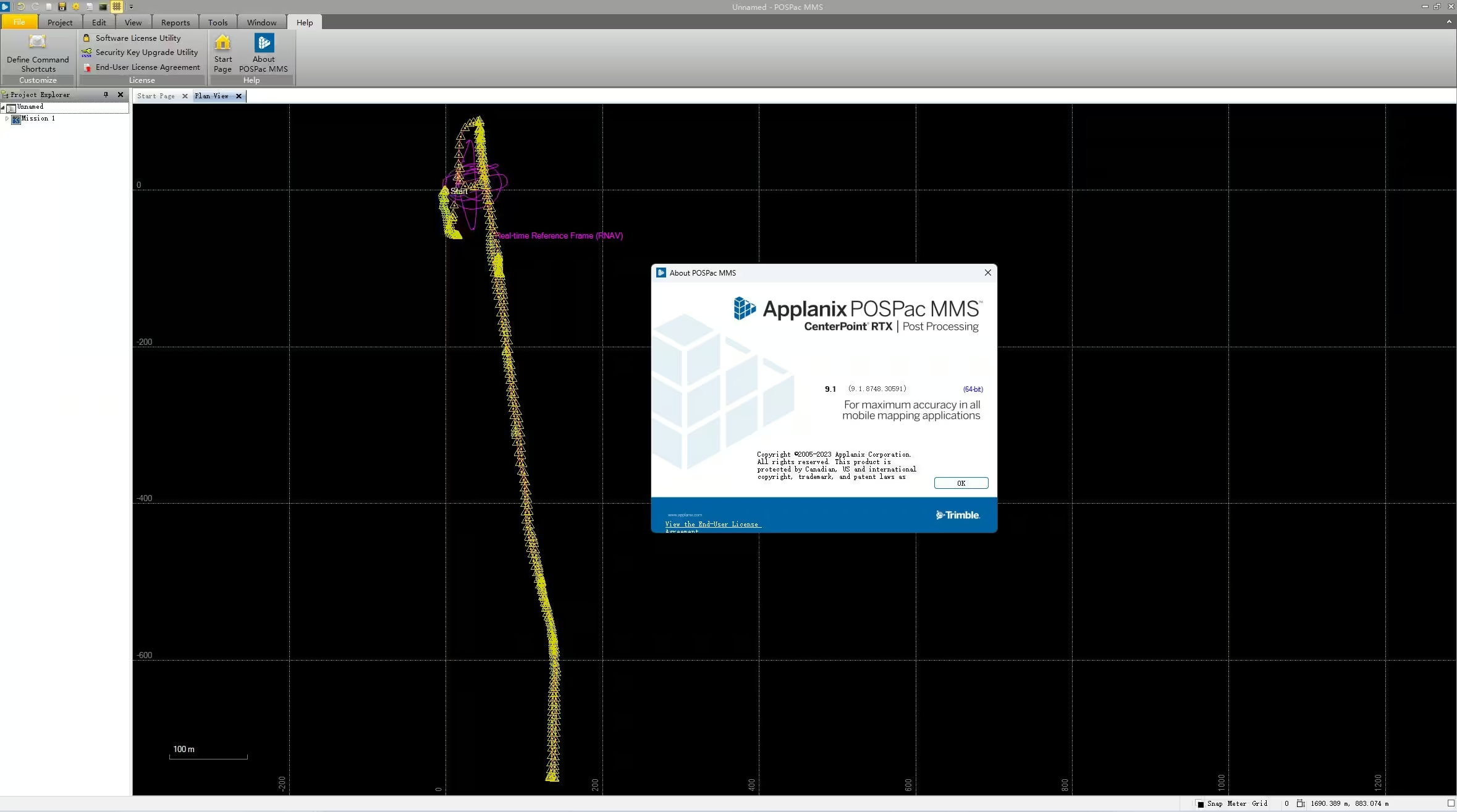
Applanix POSPac MMS
A Start to Finish Workflow for Direct Geo-referencing
POSPac Mobile Mapping Suite, now with Trimble CenterPoint RTX, is an industry leading GNSS-Aided Inertial post-processing software for georeferencing data collected from cameras, LIDARs and other sensors on mobile platforms.
Need a Quote?
We’ll Call You
Simply enter your contact details and one of our specialists will call you to discuss your requirements and provide a detailed quotation.
Need a Quote?
We’ll Call You
Simply enter your contact details and one of our specialists will call you to discuss your requirements and provide a detailed quotation.

POSPAC Mobile Mapping Suite is your key to powerful, consistent, reliable, and accurate data…every time.

Key Features
-
Achieve centimeter-level accuracy without Reference Stations using Post-Processed Trimble CenterPoint RTX
-
Reduces re-work costs with “know before you go” in field quality control operations
-
Applanix SmartBase and IN-Fusion technology for high accuracy, productivity
-
New floating license support – share a single license across a network or between computers
-
New user interface and faster processing
See the Trimble Applanix POSPac MMS in Action
View the Applanix POSPac MMS, showcasing precise mobile mapping in action


Need a Quote?
We’ll Call You
Simply enter your contact details and one of our specialists will call you to discuss your requirements and provide a detailed quotation.
-

Trimble RealWorks
Automated tools and point cloud workflows help users quickly process, analyze and create high-quality deliverables. -

Trimble Mine Insights
Optimise your surveying, drilling, blasting and geotechnical workflows with Trimble® Mine Insights™ software, a cloud-based mining analytics application. -

Inpho UAS Master
Create powerful deliverables from images collected with UAS (Unmanned Aircraft Systems) aerial mapping and surveying systems. -

Inpho
Inpho office software transforms aerial images into accurate point clouds, surface models and orthophoto mosaics. -

Trimble MX Office Software
Mobile mapping operations collect massive data sets very quickly. It is important to have the right software tools to simplify data organization, feature extraction, and customer collaboration. -

eCognition
Trimble eCognition helps automate the interpretation of geospatial data with advanced feature extraction and change detection tools. -

Terra Office
Trimble Terra Office software helps professionals manage high-accuracy TerraFlex data and integrate it into GIS systems. -

Trimble Sentinel
The Trimble® Sentinel device tracking solution is the easy way to quickly track total stations using your mobile device in real time. -

Trimble Reality Capture Platform
The Trimble® Reality Capture platform service enables users to collaborate, share, store and manage large amounts of reality capture data in the cloud. -
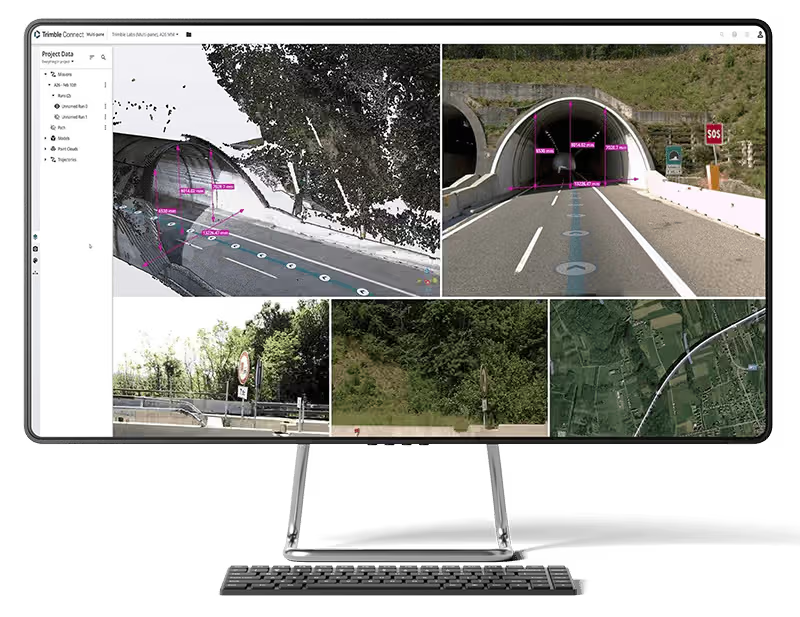
Trimble Connect
Trimble Connect is a cloud-based platform that connects teams with the right data at the right time. -

Trimble Business Center
Trimble Business Center (TBC) software transforms field data into high-quality, actionable information and deliverables.