Terra Office
Must-have solution for GIS professionals
Trimble® Terra™ Office software helps mapping and GIS professionals manage high-accuracy Trimble TerraFlex™ data collection projects and integrate collected data into a variety of GIS systems-of-record, including Esri® ArcGIS®.
Need a Quote?
We’ll Call You
Simply enter your contact details and one of our specialists will call you to discuss your requirements and provide a detailed quotation.
Need a Quote?
We’ll Call You
Simply enter your contact details and one of our specialists will call you to discuss your requirements and provide a detailed quotation.

Seamlessly Manage and Integrate High-Accuracy Field Data Into Your GIS Workflows
Trimble Terra Office software helps GIS professionals manage field data efficiently while ensuring accuracy and consistency. With direct integration into GIS systems-of-record, it streamlines workflows and preserves the integrity of collected data from field to office.

Provides direct integration
Direct integration with a GIS system-of-record eliminates the need for lossy, manual import/export steps.
Ensures data integrity
Ensures that for the entire workflow, data collected in the field is complete with the three key aspects of field data: geometries, attributes and metadata.
Powerful Features Designed to Simplify GIS Data Collection and Management
Terra Office keeps things simple: connect directly to ArcGIS, capture Trimble-quality data in the field, and maintain an efficient flow of information between teams so projects move forward with confidence.
Works With ArcGIS
Simplify your Workflows
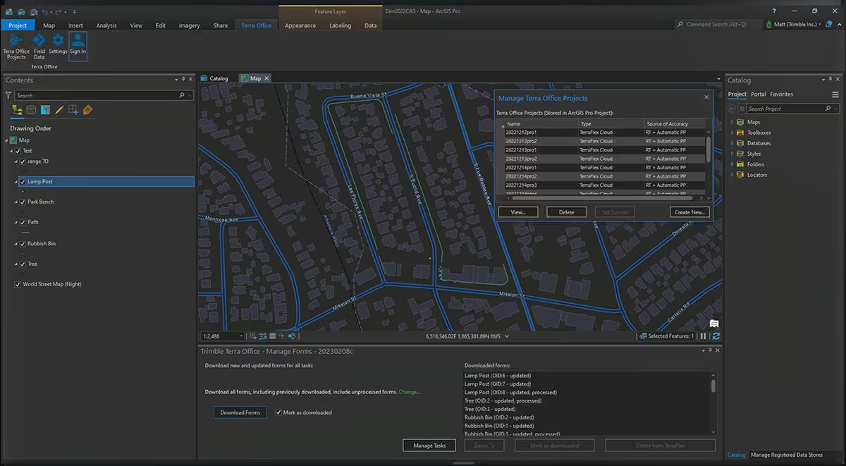
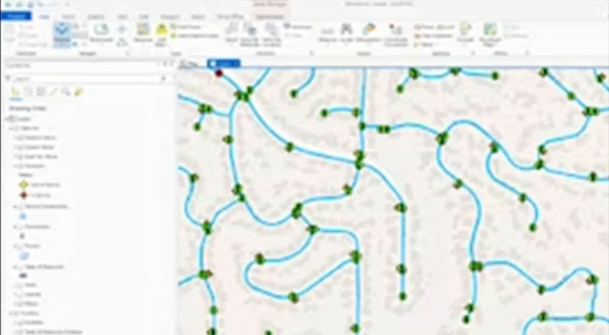
Terra Office understands ArcGIS and provides native support for ArcGIS Pro and feature services hosted on ArcGIS Online and ArcGIS Enterprise.
Trimble Quality
Data you can Trust
Maintain full GNSS metadata from the field through into the office to ensure Trimble-quality data is stored in your GIS.
Efficient
Fewest clicks to field Worker Productivity
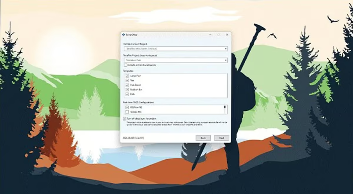
Simple workflows for extending your GIS to the field for efficient data collection and maintenance workflows using TerraFlex.
Desktop Tools
Work how you want
Includes desktop tools and workflows for users with limited cloud access or who have integration requirements for on-premise systems-of-record.
Need a Quote?
We’ll Call You
Simply enter your contact details and one of our specialists will call you to discuss your requirements and provide a detailed quotation.
-

Trimble RealWorks
Automated tools and point cloud workflows help users quickly process, analyze and create high-quality deliverables. -

Trimble Mine Insights
Optimise your surveying, drilling, blasting and geotechnical workflows with Trimble® Mine Insights™ software, a cloud-based mining analytics application. -

Inpho UAS Master
Create powerful deliverables from images collected with UAS (Unmanned Aircraft Systems) aerial mapping and surveying systems. -

Inpho
Inpho office software transforms aerial images into accurate point clouds, surface models and orthophoto mosaics. -

Trimble MX Office Software
Mobile mapping operations collect massive data sets very quickly. It is important to have the right software tools to simplify data organization, feature extraction, and customer collaboration. -

Applanix POSPac MMS
POSPac Mobile Mapping Suite, now with Trimble CenterPoint RTX, is an industry leading GNSS-Aided Inertial post-processing software -

eCognition
Trimble eCognition helps automate the interpretation of geospatial data with advanced feature extraction and change detection tools. -

Trimble Sentinel
The Trimble® Sentinel device tracking solution is the easy way to quickly track total stations using your mobile device in real time. -

Trimble Reality Capture Platform
The Trimble® Reality Capture platform service enables users to collaborate, share, store and manage large amounts of reality capture data in the cloud. -
Trimble Connect
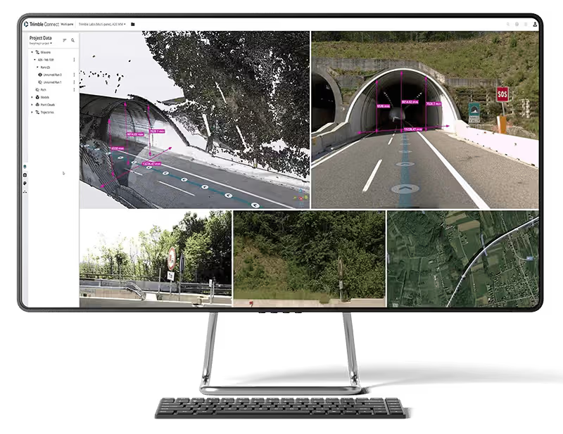
Trimble Connect is a cloud-based platform that connects teams with the right data at the right time. -

Trimble Business Center
Trimble Business Center (TBC) software transforms field data into high-quality, actionable information and deliverables.