Inpho
Industry Leading Software for Digital Photogrammetry
Inpho® office software is designed to precisely transform aerial images into consistent and accurate point clouds and surface models, orthophoto mosaics and digitized 3D features using state-of-the-art photogrammetry and remote sensing techniques.
Need a Quote?
We’ll Call You
Simply enter your contact details and one of our specialists will call you to discuss your requirements and provide a detailed quotation.
Need a Quote?
We’ll Call You
Simply enter your contact details and one of our specialists will call you to discuss your requirements and provide a detailed quotation.

Transform Aerial Imagery Into Accurate 3D Data, Surface Models and Scalable Production Workflows
Inpho® office software is designed to precisely transform aerial images into consistent and accurate point clouds and surface models, orthophoto mosaics and digitized 3D features using state-of-the-art photogrammetry and remote sensing techniques.
The modules can be used as a complete system or as individual components which integrate easily into any photogrammetric production workflow using 3rd party products. The portfolio also includes point-cloud and terrain modeling for massive data as well as airborne LiDAR scanning processing completed by automated city-modeling software.
Inpho is compatible with state-of-the-art photogrammetric camera systems from Trimble, Leica, Vexcel, IGI, Phaseone or others.
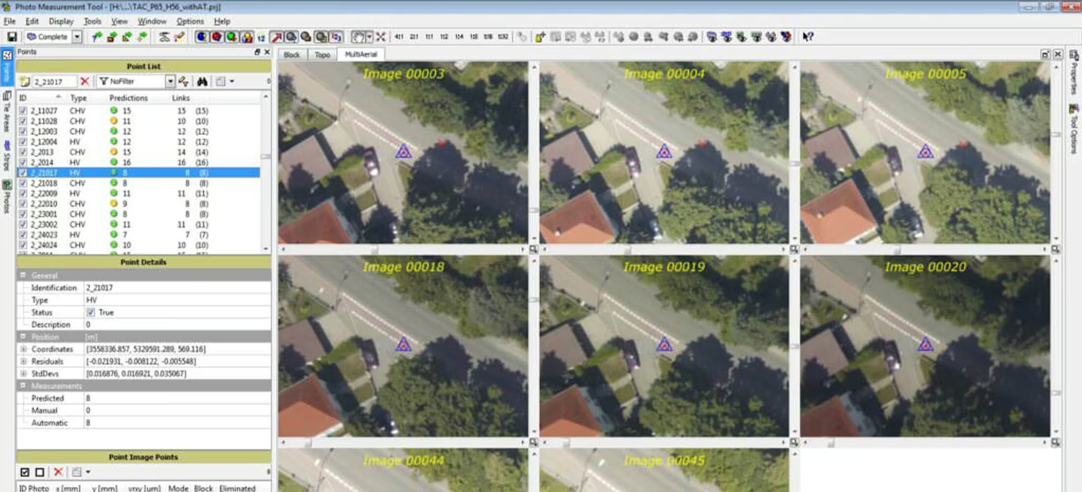
High-Precision Geo-Referencing for Reliable, Scalable Image Triangulation
Market-leading full automatic aerial triangulation including complete camera calibration, robust bundle-adjustment and thorough quality assessment for image blocks of any size, overlap or geometry.
Easily solve the most challenging projects with highest precision. Work with the most flexible aerial triangulation software that stands-out as a synonym for quality.
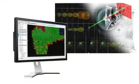
High-Quality Geo-Imaging for Consistent, Accurate Orthomosaics
Our clients world-wide rely on the seamless quality of radiometrically and geometrically perfect orthomosaics from digital and scanned analogue imagery.
OrthoMaster
Professional software for high-quality ortho-rectification of digital aerial frames, pushbroom or satellite imagery generating true orthophotos for both single images and complete image blocks. Trimble OrthoMaster offers the right quality and performance for your dedicated application. Use classic rectification methods to generate classic orthos or true orthos or, alternatively create precise true ortho images directly from a resampled colorized 3D point cloud.
OrthoVista
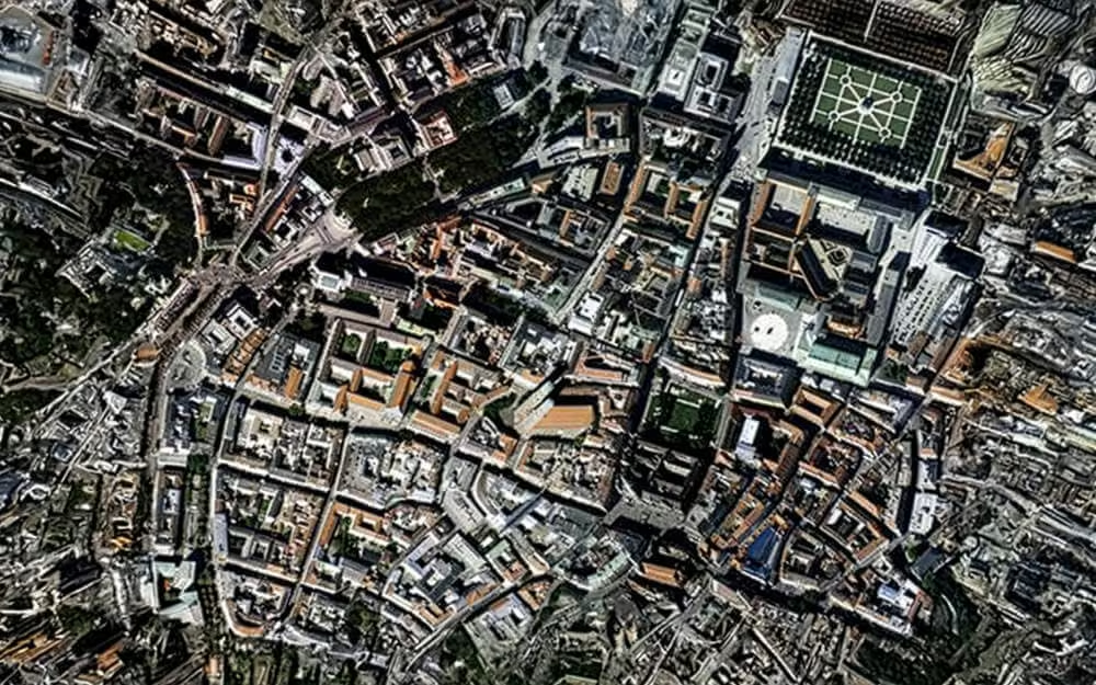
OrthoVista is well known in the world of photogrammetry as a market-leading software for creating orthomosaics with perfect homogeneity, even for multi- channel imagery. Adjust and combine thousands of orthophotos from any source into perfect, seamless, color-balanced and geometrically correct orthomosaics without any necessary subdivision.
MATCH-3DX
True Orthophoto capability ensures that each image pixel is directly related to the surface height, simplifying mapping and the overlay of GIS data, especially for urban mapping applications.
Generate Dense Point Clouds, Digital Terrain Models and Accurate GIS-Ready 3D Features from Imagery
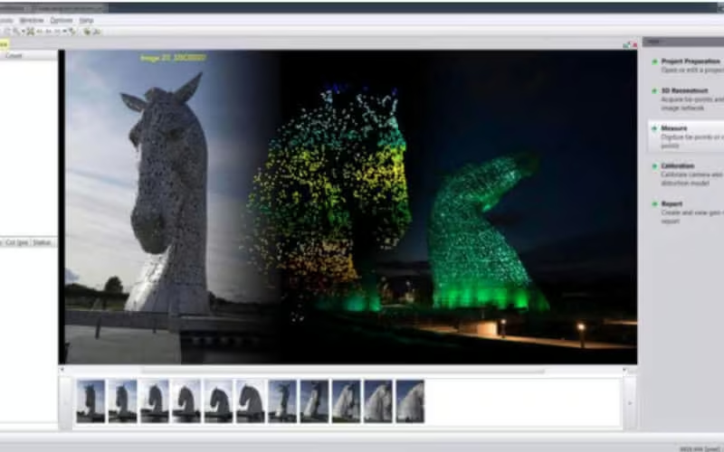
Point cloud generation and mapping
Transform image blocks into dense point clouds, GIS-ready 3D attributes, features and models.
Modules Available:
MATCH-3DX
Semi Global Matching (SGM) techniques enable photogrammetrists to reach a new level in quality and precision for the generation of large scale dense point clouds. Meshes enable non-professionals to easily navigate and understand the real world environment.
MATCH-T DSM
Automatically create digital terrain models, surface models and dense point clouds from aerial image blocks or satellite image blocks.
Summit Evolution
Digital photogrammetric stereo workstation to collect 3D features directly into ArcGIS, AutoCAD, Global Mapper or MicroStation.
Advanced Surface, Terrain and City Modeling from Airborne LiDAR and Dense Point Clouds
Surface and Terrain Modeling
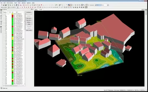
Comprehensive modeling of unlimited laser scanning or image matching point clouds including filtering, visualization, editing and analysis.
Modules Available:
DTMaster
SCOP++
Efficiently process hundreds of millions of DTM points with unsurpassed quality of interpolation, filtering, management, analysis, application and visualization.
Building Generator and Building Add-on
3D City modeling become increasingly important with modern GIS services. Leverage the enormous density of airborne LiDAR or point clouds from aerial image matching for a full automatic extraction of building objects.
See Inpho Software in Action
Watch how Inpho streamlines complex photogrammetry tasks, from data capture to final production, with precision and clarity.

Related Images


Need a Quote?
We’ll Call You
Simply enter your contact details and one of our specialists will call you to discuss your requirements and provide a detailed quotation.
-

Trimble RealWorks
Automated tools and point cloud workflows help users quickly process, analyze and create high-quality deliverables. -

Trimble Mine Insights
Optimise your surveying, drilling, blasting and geotechnical workflows with Trimble® Mine Insights™ software, a cloud-based mining analytics application. -

Inpho UAS Master
Create powerful deliverables from images collected with UAS (Unmanned Aircraft Systems) aerial mapping and surveying systems. -

Trimble MX Office Software
Mobile mapping operations collect massive data sets very quickly. It is important to have the right software tools to simplify data organization, feature extraction, and customer collaboration. -

Applanix POSPac MMS
POSPac Mobile Mapping Suite, now with Trimble CenterPoint RTX, is an industry leading GNSS-Aided Inertial post-processing software -

eCognition
Trimble eCognition helps automate the interpretation of geospatial data with advanced feature extraction and change detection tools. -

Terra Office
Trimble Terra Office software helps professionals manage high-accuracy TerraFlex data and integrate it into GIS systems. -

Trimble Sentinel
The Trimble® Sentinel device tracking solution is the easy way to quickly track total stations using your mobile device in real time. -

Trimble Reality Capture Platform
The Trimble® Reality Capture platform service enables users to collaborate, share, store and manage large amounts of reality capture data in the cloud. -
Trimble Connect
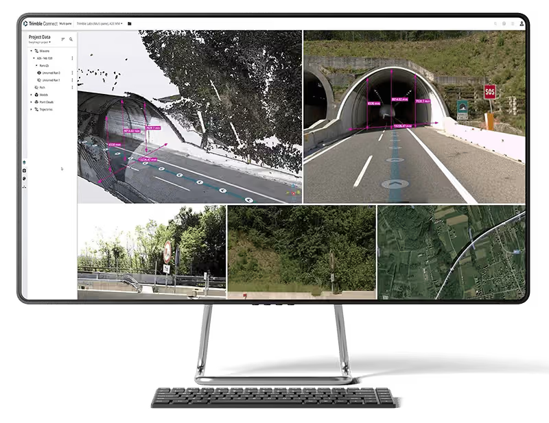
Trimble Connect is a cloud-based platform that connects teams with the right data at the right time. -

Trimble Business Center
Trimble Business Center (TBC) software transforms field data into high-quality, actionable information and deliverables.