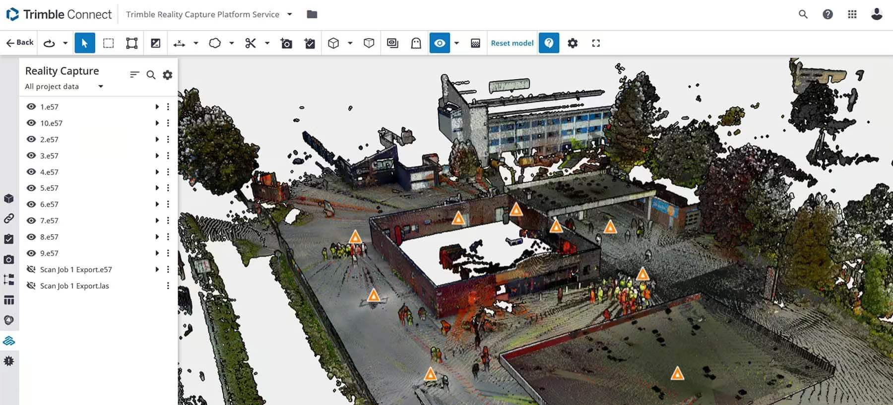
Trimble Reality Capture Platform
Unlock your reality capture data
Need a Quote?
We’ll Call You
Simply enter your contact details and one of our specialists will call you to discuss your requirements and provide a detailed quotation.
Need a Quote?
We’ll Call You
Simply enter your contact details and one of our specialists will call you to discuss your requirements and provide a detailed quotation.

One ecosystem for truly connected decision-making
Ideal for projects involving multiple stakeholders, enhancing decision-making and supporting connected workflows for the most holistic view of the project.
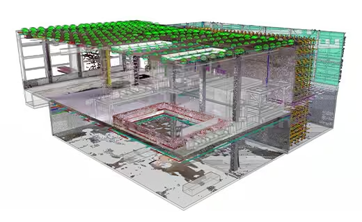
One connected ecosystem
Leveraging the Trimble Connect® cloud-based common data environment (CDE) and collaboration platform, reality capture data can now be seamlessly incorporated in the most holistic view of your project.
Democratizing reality capture
All users of all backgrounds can easily understand and utilize project information. Communicate with full context instead of sending screenshots.
A smarter way to manage, share and act on project data
Streamline collaboration, visualize complex information with ease, and unlock the full value of reality capture through a secure, cloud-based platform built for every stakeholder.
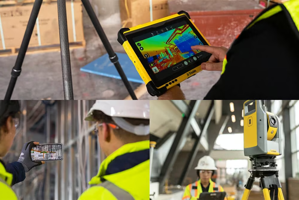
Accelerates complex projects
Seamlessly share, consume, view and annotate models and drawings in real-time. From the office to the field, Trimble Connect improves your workflows and ensures on-time project delivery by reducing rework, RFIs, and costly downstream construction delays.
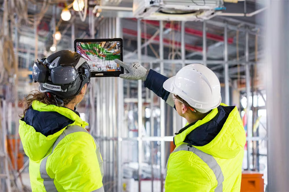
Enables diverse teams
Easily accessible information can eliminate the guesswork and costly miscommunication issues that keep your projects from finishing on time and on budget. By keeping your crew connected you can allow everyone on the job to see the big picture, right down to the tiniest detail.
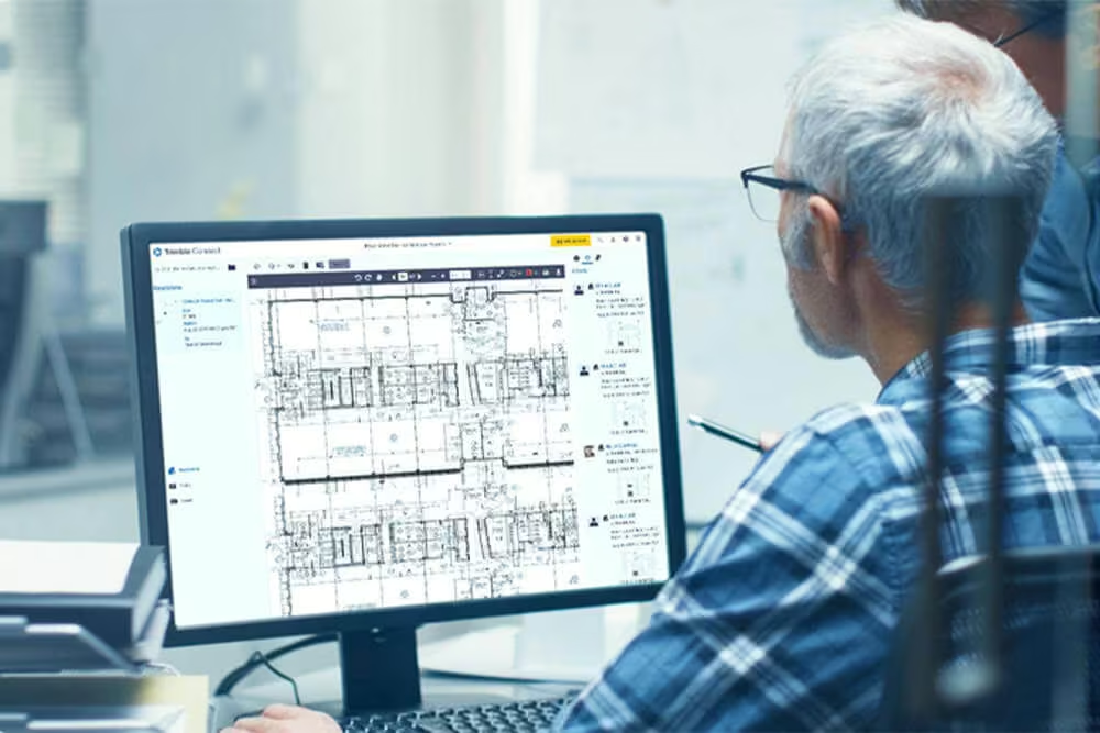
Secure cloud-based platform
Project files and regulations are constantly changing – leading to the use of outdated versions and downstream construction delays. Trimble Connect keeps you organized and on schedule by effectively managing documents, drawings and data in an easy-to-use collaboration tool.
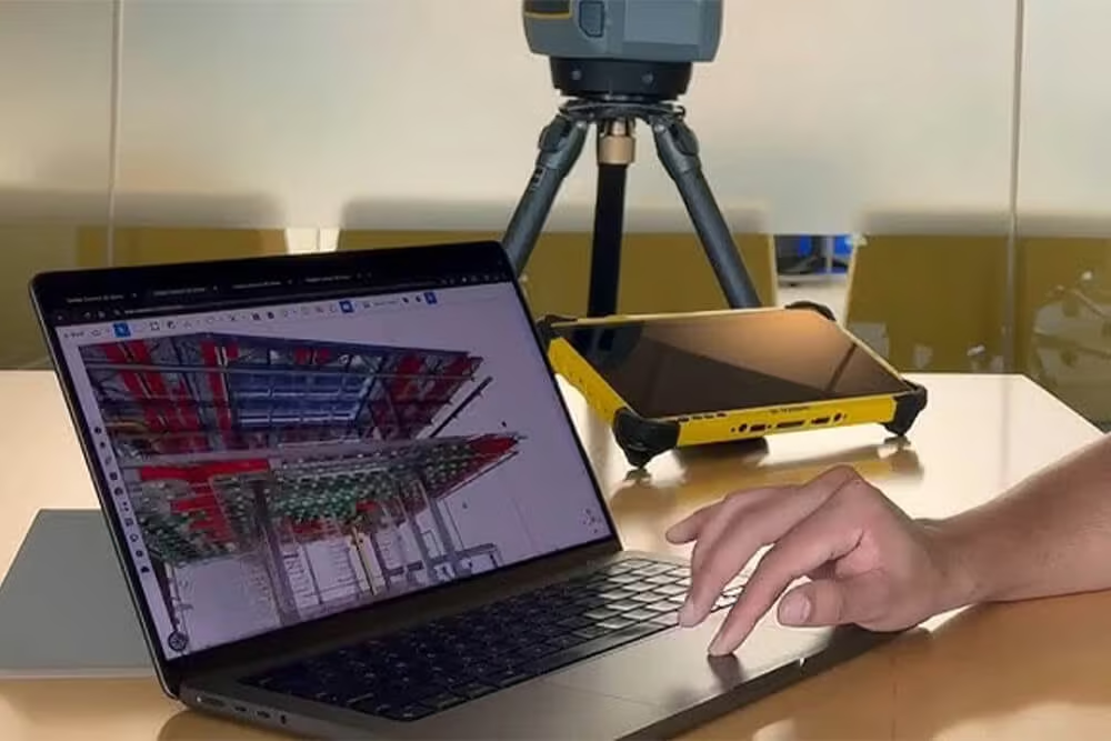
Unlocks reality capture data
There’s no need to rely on a variety of specialty applications to share project drawings, models and data. Trimble Connect provides access to information for all stakeholders, across all phases of construction, so that they can see every detail in 2D, 3D, or even mixed reality.
Flexible plans that scale with your data needs
The platform service is available in a flexible data usage model, meaning you only pay for what you need. Choose from three data usage plans or customize your plan to meet the unique needs of your business.
1 TB Plan
Grow your reality capture offerings and effortlessly share data with clients
-
Up to 1 TB storage (approximately 100 billion points or 500 scans)
-
1 TB monthly upload limit
-
Unlimited projects
-
Unlimited collaborators
Best for surveyors who want to share the context of their scanning total station data and those starting to leverage 3D laser scanner point clouds for as-builts, topographic surveys, and more
Select a Plan That Works For You
Please complete the form and an OPTRON representative will contact you.
5 TB Plan
Capture robust data and drive better coordination, collaboration and easier sharing of data and deliverables with all stakeholders.
-
Up to 5 TB storage (approximately 500 billion points or 2,500 scans)
-
5 TB monthly upload limit
-
Unlimited projects
-
Unlimited collaborators
Best for engineering surveyors who need better tools for collaboration and coordination with stakeholders, and for reality capture professionals looking to produce more valuable deliverables
Select a Plan That Works For You
Please complete the form and an OPTRON representative will contact you.
10 TB Plan
Expand your business potential with the ultimate reality capture plan with enough room to run your organization across numerous projects.
-
Up to 10 TB storage (approximately 1,000 billion points or 5,000 scans)
-
10 TB monthly upload limit
-
Unlimited projects
-
Unlimited collaborators
Best for transportation professionals capturing large amounts of data with mobile mapping systems, and reality capture professionals who work across numerous projects and need better tools for collaborating with stakeholders.
Select a Plan That Works For You
Please complete the form and an OPTRON representative will contact you.
Not sure what you need?
Try before you buy!
-
Up to 10 GB free storage
-
10 GB monthly upload limit
-
Perfect for trying new workflows on real projects before you buy
-
Unlimited collaborators
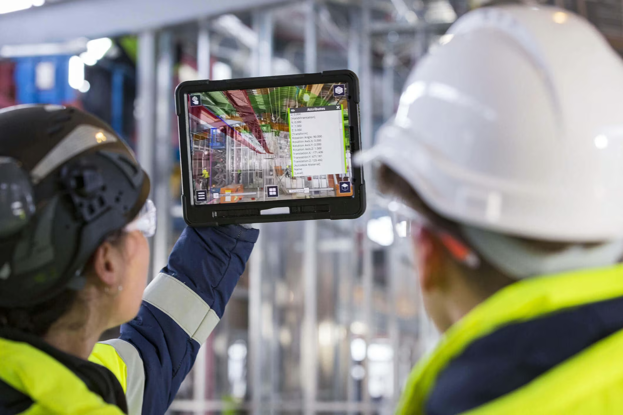
See the Trimble Reality Capture Platform in Action
See how the Trimble Reality Capture Platform transforms captured data into accurate 3D models and actionable insights.

Related Images
Need a Quote?
We’ll Call You
Simply enter your contact details and one of our specialists will call you to discuss your requirements and provide a detailed quotation.
-

Trimble RealWorks
Automated tools and point cloud workflows help users quickly process, analyze and create high-quality deliverables. -

Trimble Mine Insights
Optimise your surveying, drilling, blasting and geotechnical workflows with Trimble® Mine Insights™ software, a cloud-based mining analytics application. -

Inpho UAS Master
Create powerful deliverables from images collected with UAS (Unmanned Aircraft Systems) aerial mapping and surveying systems. -

Inpho
Inpho office software transforms aerial images into accurate point clouds, surface models and orthophoto mosaics. -

Trimble MX Office Software
Mobile mapping operations collect massive data sets very quickly. It is important to have the right software tools to simplify data organization, feature extraction, and customer collaboration. -

Applanix POSPac MMS
POSPac Mobile Mapping Suite, now with Trimble CenterPoint RTX, is an industry leading GNSS-Aided Inertial post-processing software -

eCognition
Trimble eCognition helps automate the interpretation of geospatial data with advanced feature extraction and change detection tools. -

Terra Office
Trimble Terra Office software helps professionals manage high-accuracy TerraFlex data and integrate it into GIS systems. -

Trimble Sentinel
The Trimble® Sentinel device tracking solution is the easy way to quickly track total stations using your mobile device in real time. -
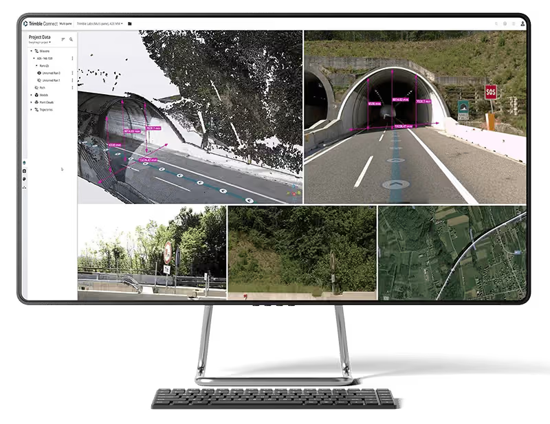
Trimble Connect
Trimble Connect is a cloud-based platform that connects teams with the right data at the right time. -

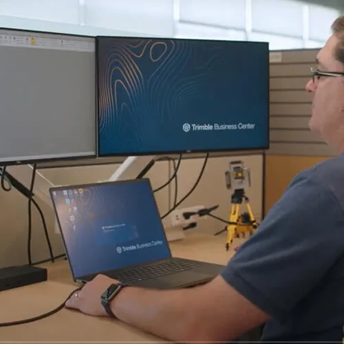
Trimble Business Center
Trimble Business Center (TBC) software transforms field data into high-quality, actionable information and deliverables.